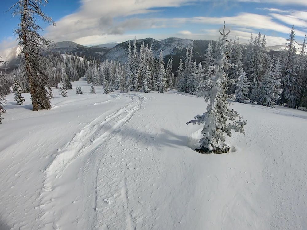
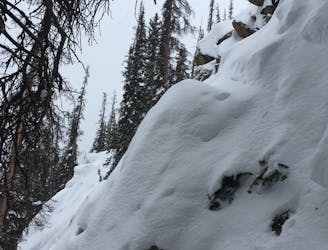
Elation Ridge Trees
A delightful, widely-spaced glade.
Difficult Freeride Skiing
- Distance
- 2.5 km
- Ascent
- 87 m
- Descent
- 300 m
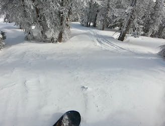
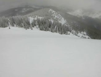
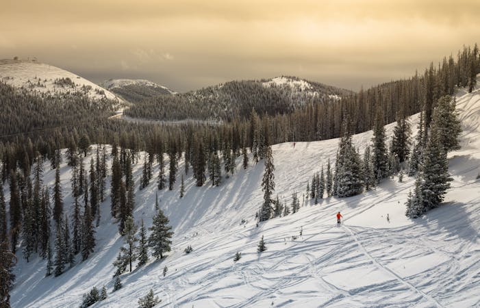
The first wide-open line on Elation Ridge.
Freeride Skiing Difficult

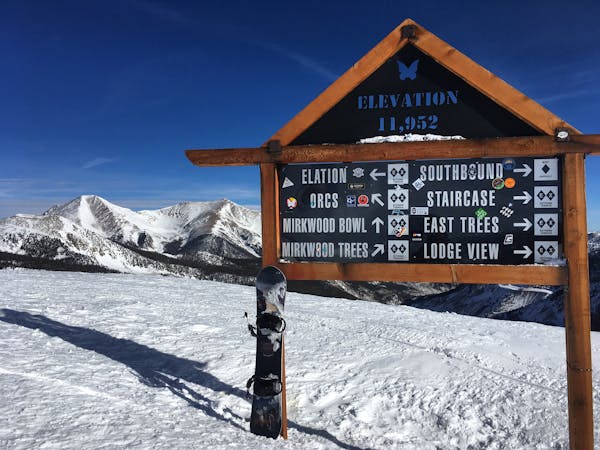
On the official map for Mirkwood Basin, Monarch Mountain simply labels the entire northern, south-facing ridge of the basin as “Elation Ridge,” and then leaves it at that. With that amount of minimal marking, you’re pretty much on your own to find the best line down the ridge. Here, I’ve chosen to break Elation into four different lines: Elation Ridge Trees, Elation Ridge 1, Elation Ridge 2, and Elation Ridge Cliffs. To find Elation Ridge 1, cross through the gate onto elation ridge, pass the treed glade, and look for the first obvious line to the right. One bonus of dropping Elation Ridge 1 is that a second hike isn't required, whereas Elation 2 and Elation Cliffs both require a second short hike to reach a secondary knob.

If you prefer wide-open pow surfing and don’t mind southerly-facing aspects, Elation Ridge 1 is for you! The few trees you’ll find here are spread wide apart, and the consistent slope allows you to rip wide-open turns all the way down the mountain! About halfway down, keep your eye peeled for a few spines and sender cliffs, and about 3/4 of the way down you’ll have to negotiate the same short, steep cliff band found on Orcs and Elation Trees. Generally, these cliffs fill in and are skiable, but at times the snow conditions can necessitate careful line selection to thread through this slightly more technical zone, especially if you haven’t skied it before.
Difficult
Serious gradient of 30-38 degrees where a real risk of slipping exists.

As well as the slope itself, there are some obstacles (such as rock outcrops) which could aggravate injury.
Away from help but easily accessed.
A delightful, widely-spaced glade.
Difficult Freeride Skiing
The easiest line in Mirkwood Trees, which still tends to hold excellent snow.
Difficult Freeride Skiing
The most popular freeride line in Mirkwood Basin.
Difficult Freeride Skiing

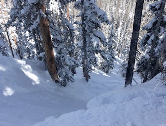
The second obvious line down Elation Ridge, and the beginning of the larger cliff bands.
Difficult Freeride Skiing
A short, steep, techy line at the end of the ridge.
Severe Freeride Skiing
A wide-open face providing a delightful companion to the main Mirkwood Bowl.
Difficult Freeride Skiing
0 m away

A wide-open glade at the end of the ridge.
Moderate Freeride Skiing
0 m away

A longer, tighter version of Lodgeview
Moderate Freeride Skiing
0 m away

Home to the best senders at Monarch Mountain.
Difficult Freeride Skiing
0 m away
The most technical freeride line on Monarch Mountain.
Severe Freeride Skiing
13 routes · Freeride Skiing
8 routes · Freeride Skiing · Resort Ski Touring