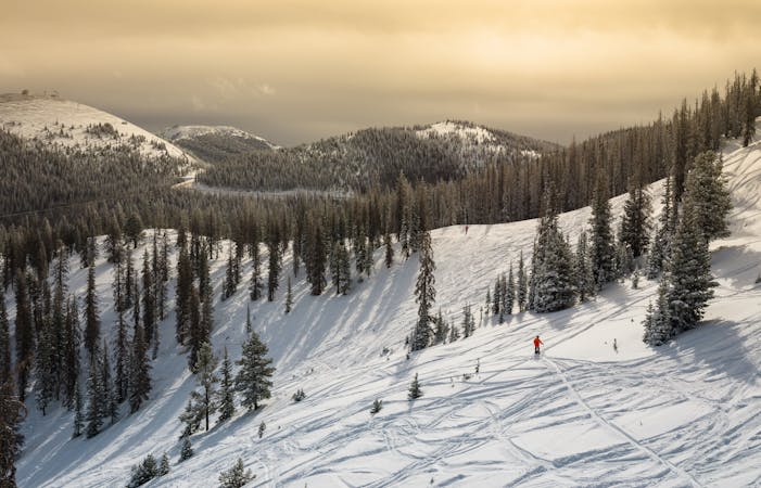
Southbound: Longer
A longer, more rewarding descent on this south-facing aspect.
Moderate Freeride Skiing
- Distance
- 1.1 km
- Ascent
- 85 m
- Descent
- 162 m
The most technical freeride line on Monarch Mountain.
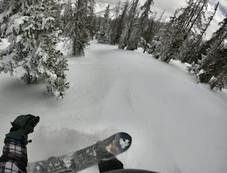
Freeride Skiing Severe

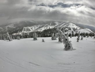
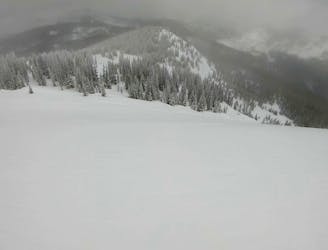
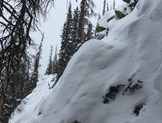
The series of lines in Staircase—essentially this entire treed north face of Mirkwood Basin—provides the most technical in-bounds freeride lines at Monarch Mountain.
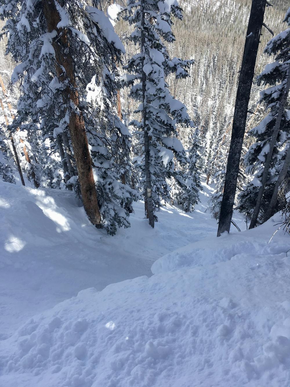
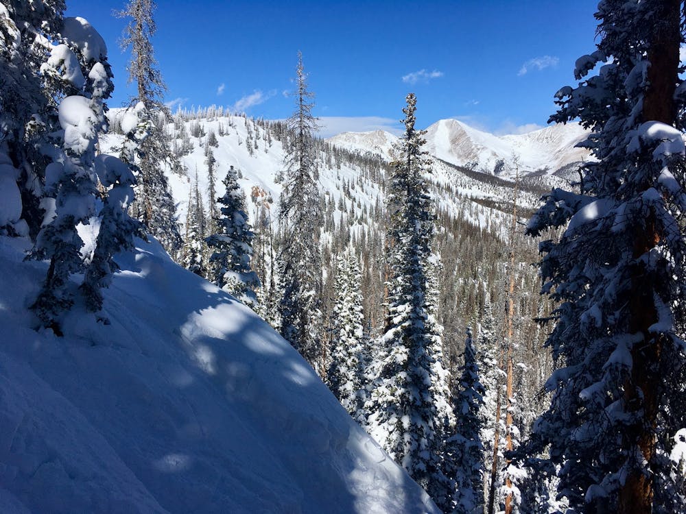
From both the top and the bottom, this simply looks like a north-facing treed aspect, but as you prepare to drop, you may see a few small orange signs warning you of cliffs ahead. Hidden beneath the towering pine trees on the side of this ridge is a formidable cliff band, measuring about 30-40 feet high. For aggressive skiers, it may be possible to drop these cliffs in good conditions, but the landing zones are minimal.
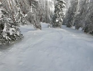
Most skiers choose to thread their way between the rocky outcroppings in an attempt to keep their skis on the ground. Narrow chutes between the cliffs offer obvious—but technical—lines.
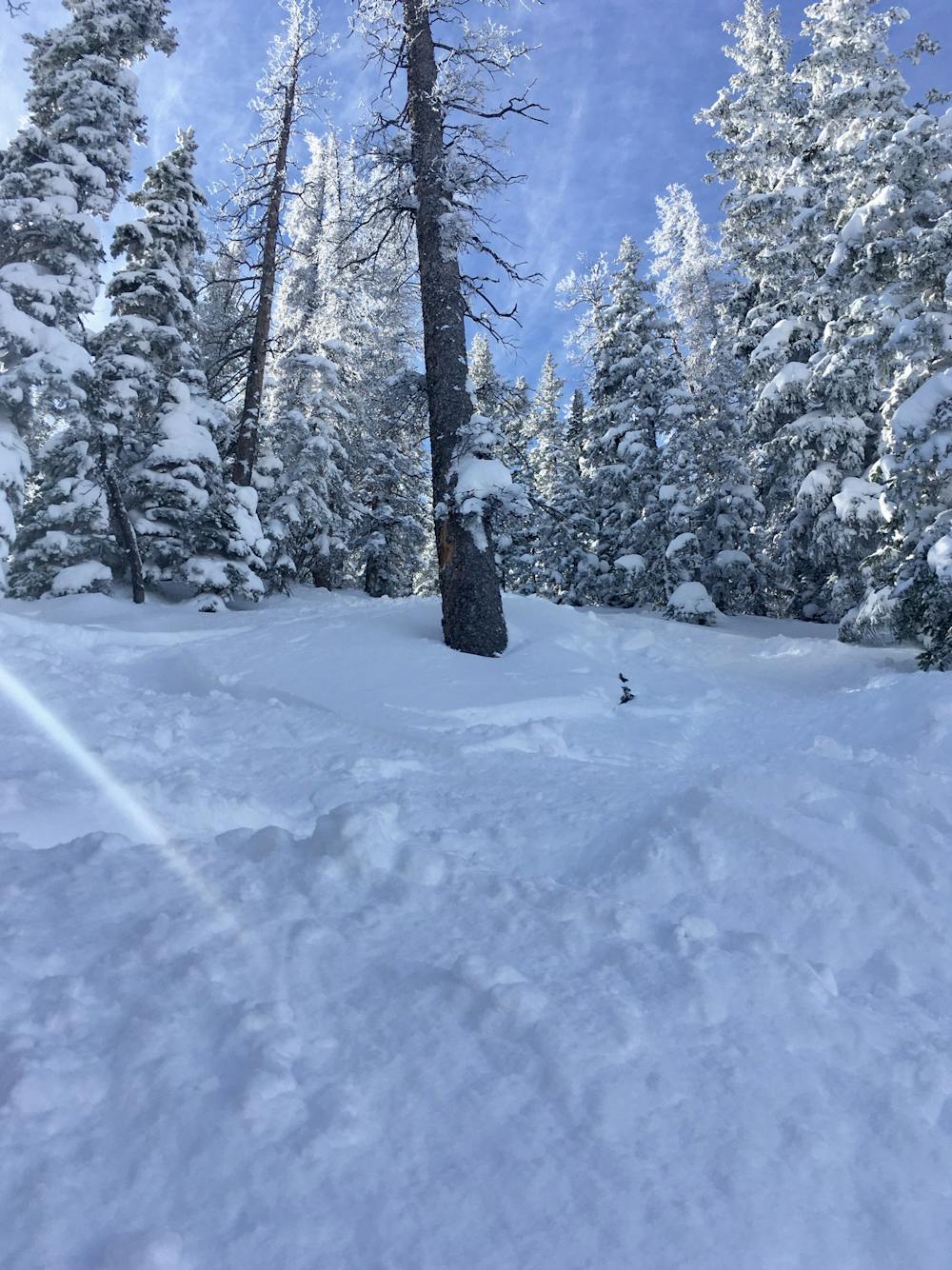
These chutes are home to some of the steepest skiable lines on Monarch Mountain. Since they rest between two cliff faces, snow tends to sluff off the cliffs and into the chutes, helping fill them in quickly and keep them skiing well. However, since this face is below treeline, don’t expect wide-open straight line options—instead, expect to thread your way between small trees and rock faces as you work your way down the mountain. Depending on with chute you choose, you could be faced with a tight choke point, only increasing the technicality of the line.
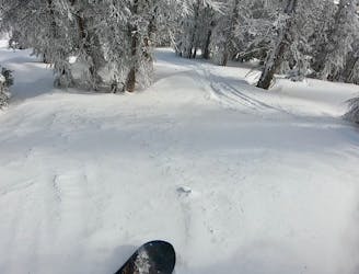
Once out of the chute, the steepness continues, and you may be able to score a section of small, pillowy drops. Keep your speed up after the drops, as you’ll have to cross a flat zone to reach the cat track traverse out of Mirkwood Basin.
Severe
Steep skiing at 38-45 degrees. This requires very good technique and the risk of falling has serious consequences.

In case of a fall, death is highly likely.

Away from help but easily accessed.
A longer, more rewarding descent on this south-facing aspect.
Moderate Freeride Skiing

A longer, tighter version of Lodgeview
Moderate Freeride Skiing

Home to the best senders at Monarch Mountain.
Difficult Freeride Skiing

A wide-open glade at the end of the ridge.
Moderate Freeride Skiing
The only single black diamond-rated line in the Mirkwood zone.
Moderate Freeride Skiing
0 m away
The easiest line in Mirkwood Trees, which still tends to hold excellent snow.
Difficult Freeride Skiing
0 m away
A wide-open face providing a delightful companion to the main Mirkwood Bowl.
Difficult Freeride Skiing
0 m away
A delightful, widely-spaced glade.
Difficult Freeride Skiing
0 m away
A short, steep, techy line at the end of the ridge.
Severe Freeride Skiing
0 m away
The most popular freeride line in Mirkwood Basin.
Difficult Freeride Skiing
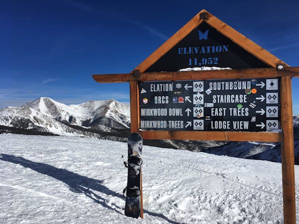
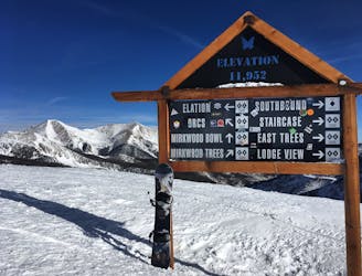
13 routes · Freeride Skiing
8 routes · Freeride Skiing · Resort Ski Touring