481 m away
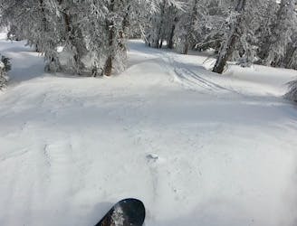
Geno's Meadows

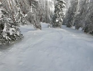
A widely-spaced glade.
Moderate Freeride Skiing
- Distance
- 263 m
- Ascent
- 0 m
- Descent
- 85 m
Hardest Run at Monarch Mountain
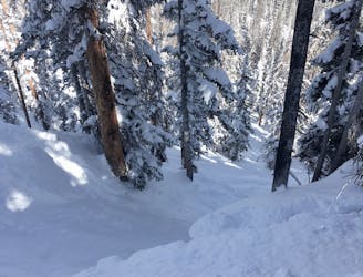
Freeride Skiing Severe

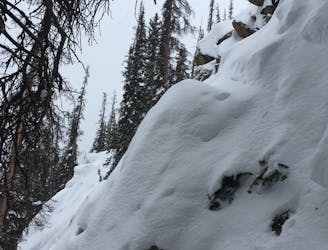
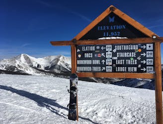
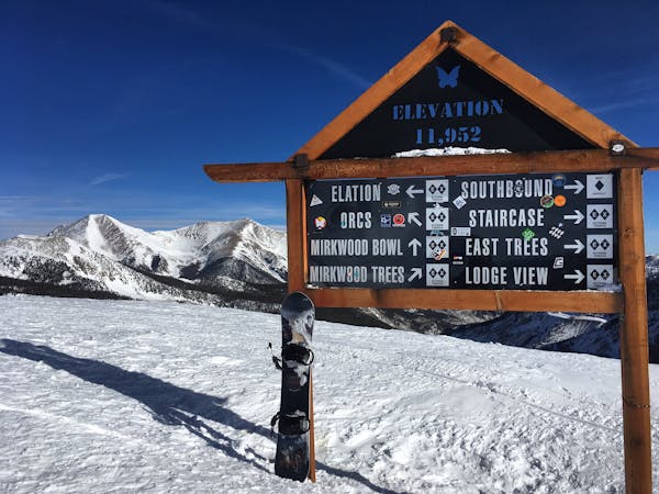
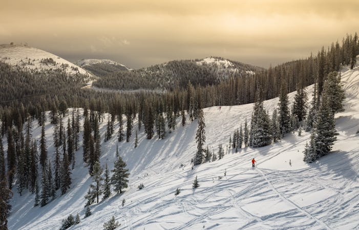
The most challenging terrain at Monarch is in Mirkwood, accessed via a 15-minute hike up from the top of the Breezeway Lift. Just when the slog stops being fun, the 11,952-foot summit appears. Runs down from here are universally steep, with the added challenge of tight trees. Mexico isn’t on the trail map—it’s just to the right of East Trees. Access it by heading skier’s right from the summit and traversing past Staircase. Stay on the lookout for cliff bands and other potential hucks that sneak up on you. Staircase, East Trees, and Mexico all hover in the mid- to upper 40-degree range. Finding someone to guide you is handy, since it’s tough to navigate on your own through the trees.
Severe
Steep skiing at 38-45 degrees. This requires very good technique and the risk of falling has serious consequences.

As well as the slope itself, there are some obstacles (such as rock outcrops) which could aggravate injury.
Away from help but easily accessed.
481 m away
A widely-spaced glade.
Moderate Freeride Skiing
523 m away
A delightful, widely-spaced glade.
Difficult Freeride Skiing
523 m away
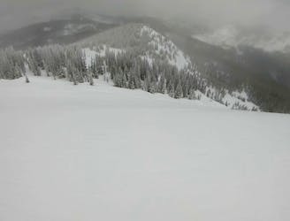
The first wide-open line on Elation Ridge.
Difficult Freeride Skiing
523 m away

The second obvious line down Elation Ridge, and the beginning of the larger cliff bands.
Difficult Freeride Skiing
523 m away
A wide-open face providing a delightful companion to the main Mirkwood Bowl.
Difficult Freeride Skiing
523 m away
A short, steep, techy line at the end of the ridge.
Severe Freeride Skiing
523 m away
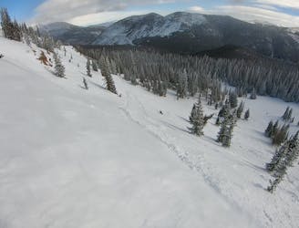
The most popular freeride line in Mirkwood Basin.
Difficult Freeride Skiing
523 m away
The easiest line in Mirkwood Trees, which still tends to hold excellent snow.
Difficult Freeride Skiing
523 m away

Home to the best senders at Monarch Mountain.
Difficult Freeride Skiing
523 m away
The most technical freeride line on Monarch Mountain.
Severe Freeride Skiing
13 routes · Freeride Skiing
8 routes · Freeride Skiing · Resort Ski Touring