6 m away
Conundrum Peak: South Ridge
Difficult hike to the top of a 14,000-foot subpeak of Castle Peak.
Extreme Hiking
- Distance
- 19 km
- Ascent
- 1.3 km
- Descent
- 1.3 km
The highest and most accessible summit in the Elk Range, but still a strenuous and potentially dangerous hike.
Hiking Extreme

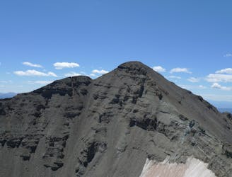
Castle Peak (14,265') is the highest summit in the Elk Range. It is the most frequently summitted peak in the range, both because of this superlative and because the Northeast Ridge route is easier than routes on most of the other Elk summits. It can be linked with neighboring Conundrum Peak—another 14er—as well.
The route described here is for Castle Peak alone, not the linkup. The mapped track begins from the Castle Creek Trailhead, but capable vehicles can drive much of the way on a 4WD road. This road leads up into Montezuma Basin, above treeline at the northeast foot of Castle and Conundrum Peaks.
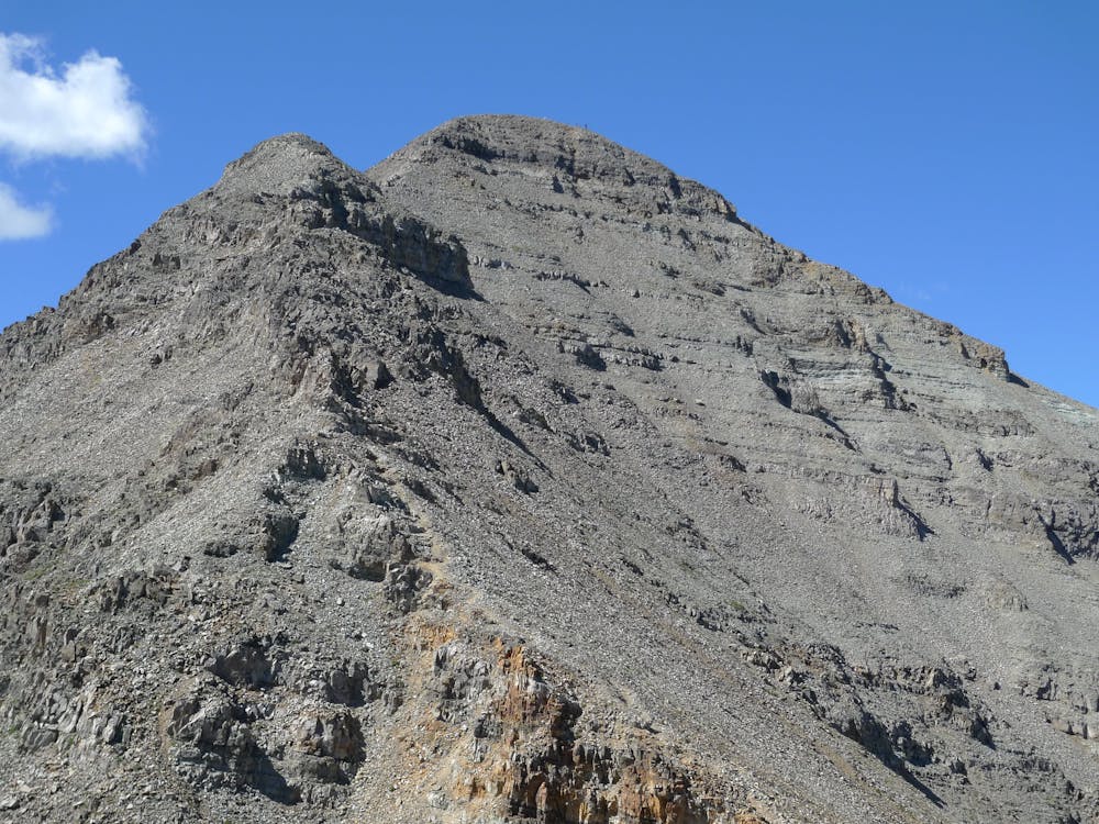
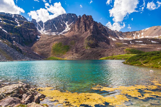
The road ends at a small flat spot in the center of the basin at 12,800 feet, where steep talus and snowfields arise on three sides. Castle and Conundrum Peaks tower overhead. The trail to Castle leads straight up a talus slope then traverses beneath an imposing, craggy subpeak that guards the main ridgeline. Expect to cross snow on this section, especially in early season.
Then the trail, which is visibly worn into the slope, takes a few switchbacks before making an arcing traverse up to the spine of the mountain’s northeast ridge. As you climb, views open up of the high basin below the two peaks, and an icy little lake within it.
The route becomes more engaging once you gain the ridgeline. You’ll negotiate large boulders and short vertical sections as you work your way along the spine. Nothing should be much more difficult than Class 2, though, if you remain on route. You’ll occasionally veer to the right around obstacles, but not too far. Don’t drop down any gullies, just stick to traversing beneath or climbing over low cliff bands on the crest.
The terrain eases up atop a small false summit, within 400 feet and an excellent vantage of the true summit. From there, drop to a notch through some short scrambles. Be especially wary of your footing here. The final stretch to the summit is on brittle and loose rock, but it's safe enough if you are careful. Wade through a steep but short section of scree to reach the summit.
After taking in the view from highest mountain in the Elks, descend the way you came. In early season there is usually enough snow in the couloirs to glissade the descent to the upper basin with the lake, and maybe farther. Attempt this only if you have the proper gear and experience, and if snow conditions are safe.
Sources: https://www.summitpost.org/castle-peak/150482 https://www.14ers.com/route.php?route=cast1&peak=Castle+Peak+and+Conundrum+Peak
Extreme
Scrambling up mountains and along technical trails with moderate fall exposure. Handholds are necessary to navigate the trail in its entirety, although they are not necessary at all times. Some obstacles can be very large and difficult to navigate, and the grades can often be near-vertical. The challenge of the trail and the steepness of the grade results in very strenuous hiking. Hikes of this difficulty blur the lines between "hiking" and "climbing".

Some trail sections have exposed ledges or steep ascents/descents where falling could cause serious injury.
Little chance of being seen or helped in case of an accident.
6 m away
Difficult hike to the top of a 14,000-foot subpeak of Castle Peak.
Extreme Hiking
1.5 km away
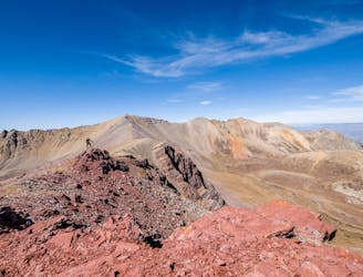
13,365-foot “Electric Pass Peak” is a rare 13er with a trail to the summit.
Difficult Hiking
1.5 km away
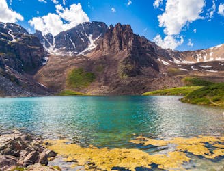
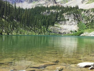
A moderate hike to a beautiful alpine lake.
Moderate Hiking
4.8 km away
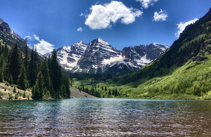
One of the quintessential Aspen hikes.
Moderate Hiking

16 routes · Hiking
3 routes · Hiking
8 routes · Alpine Climbing · Hiking