6 m away
Castle Peak: Northeast Ridge
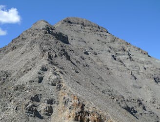
The highest and most accessible summit in the Elk Range, but still a strenuous and potentially dangerous hike.
Extreme Hiking
- Distance
- 19 km
- Ascent
- 1.4 km
- Descent
- 1.4 km

Difficult hike to the top of a 14,000-foot subpeak of Castle Peak.
Hiking Extreme

Conundrum Peak, though not an official 14er by the 300’ prominence rule, is a worthy summit in the Elk Range. The hike provides incredible views over Conundrum Creek Valley and the many peaks between Crested Butte and Aspen.
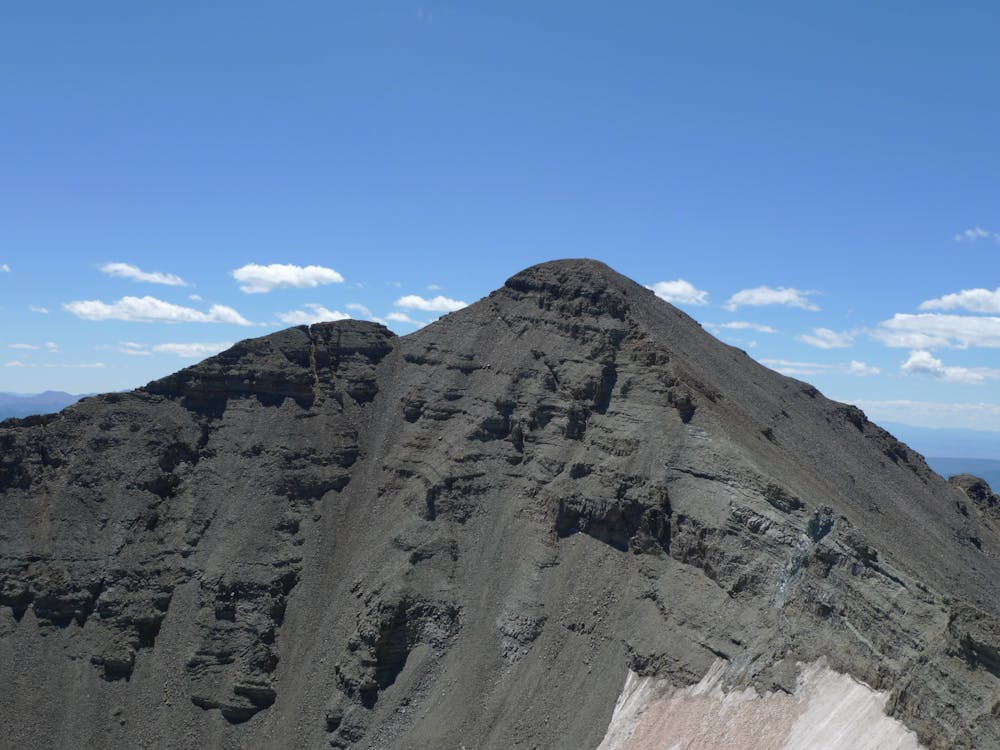
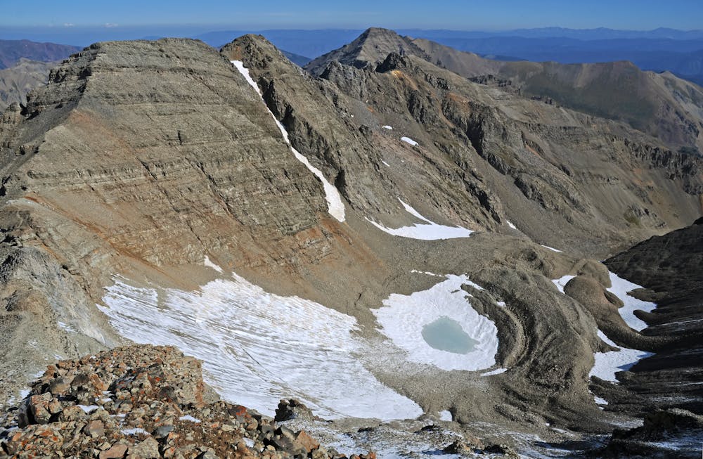
This route is best in early summer when the slope below Conundrum’s saddle with Castle Peak is snowy. Otherwise, part of it becomes a mess of loose dirt and scree, but is still manageable. In late season, the preferred option is to tag Conundrum via the ridge with Castle, linking them both. Described here is the route up and back down Conundrum Peak on its own.
The route begins from the Castle Creek Trailhead at the end of a paved road. High-clearance 4WD vehicles can drive a few miles of the mapped track, but at some point you will have to park and hike the road. It leads high into the basin beneath Castle and Conundrum Peaks, then ends. From there, punch upward on a talus slope and traverse beneath the craggy outcrops of a subpeak on Castle’s northeast ridge. Beyond this obstacle, the terrain flattens somewhat, and you’ll veer west, away from the trail that leads up Castle Peak, across more talus toward the imposing east face of Conundrum Peak.
The route traverses talus or snow (or both) above a small lake and below the east face cliffs. When snow-free, a faint trail can be found worn in the talus. Next comes a steep climb straight up to the saddle between Conundrum and Castle Peaks. Follow a shallow gully, which is the obvious weakness through steeper terrain. This gully usually holds snow longer than anything around it, which is good because the substrate beneath is especially loose.
Top out the gully to stand on the saddle and the base of Conundrum’s south ridge. From here, the route is the same as the link-up variation coming from Castle. Simply work your way up the ridge crest, following the path of least resistance around some outcrops and through low cliff bands. No moves should be much harder than Class 2 if you remain on route. On the steeper sections, double check your footing and beware of loose rock.
Conundrum’s south summit comes first, but the true summit is to the north. Continue along easy ups and downs from the south summit, then drop to a small saddle. Negotiate one final, steep section to gain the north summit, and the top of Conundrum Peak. Return the way you came to the Castle-Conundrum saddle, then glissade or scree ski the gully back down and continue to retrace your steps through the basin.
Sources: https://www.14ers.com/route.php?route=conu1&peak=Castle+Peak+and+Conundrum+Peak https://www.summitpost.org/conundrum-peak/151715
Extreme
Scrambling up mountains and along technical trails with moderate fall exposure. Handholds are necessary to navigate the trail in its entirety, although they are not necessary at all times. Some obstacles can be very large and difficult to navigate, and the grades can often be near-vertical. The challenge of the trail and the steepness of the grade results in very strenuous hiking. Hikes of this difficulty blur the lines between "hiking" and "climbing".
6 m away

The highest and most accessible summit in the Elk Range, but still a strenuous and potentially dangerous hike.
Extreme Hiking
1.5 km away
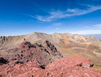
13,365-foot “Electric Pass Peak” is a rare 13er with a trail to the summit.
Difficult Hiking
1.5 km away
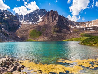
A moderate hike to a beautiful alpine lake.
Moderate Hiking
4.8 km away
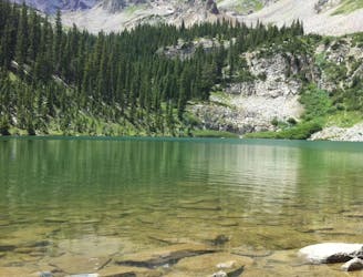
One of the quintessential Aspen hikes.
Moderate Hiking
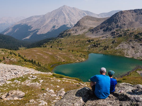
16 routes · Hiking
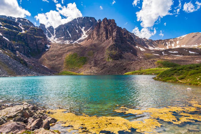
3 routes · Hiking
8 routes · Alpine Climbing · Hiking