3.7 km away
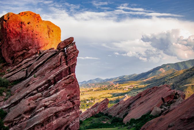
Trading Post Trail at Red Rocks
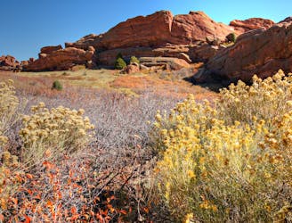
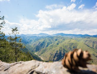
Explore more of the nature and geology that surrounds Red Rocks Amphitheater.
Easy Hiking
- Distance
- 2.4 km
- Ascent
- 111 m
- Descent
- 106 m

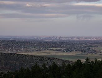
Dakota Ridge is an iconic hike that provides spectacular views of the Denver skyline to the east, and Red Rocks and the Rocky Mountain foothills to the west.
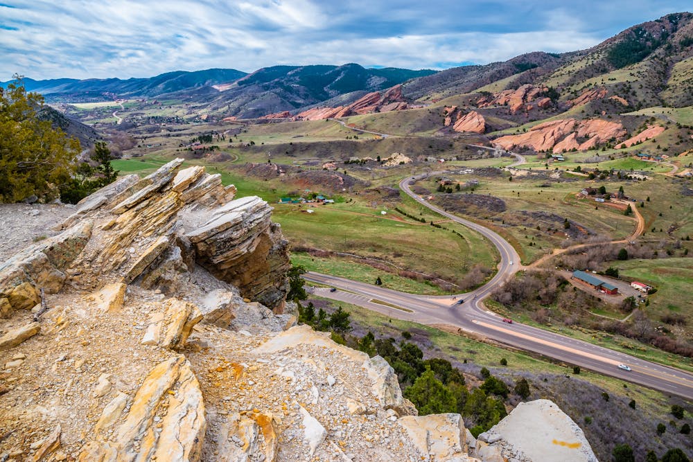
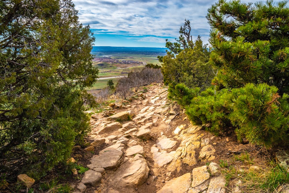
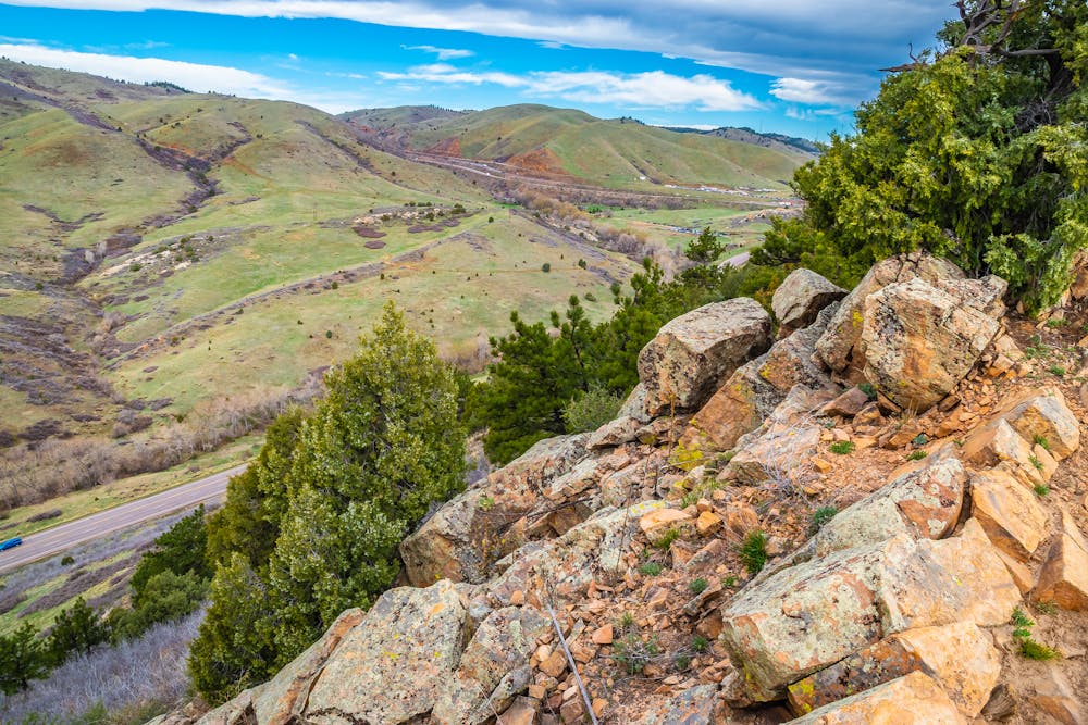
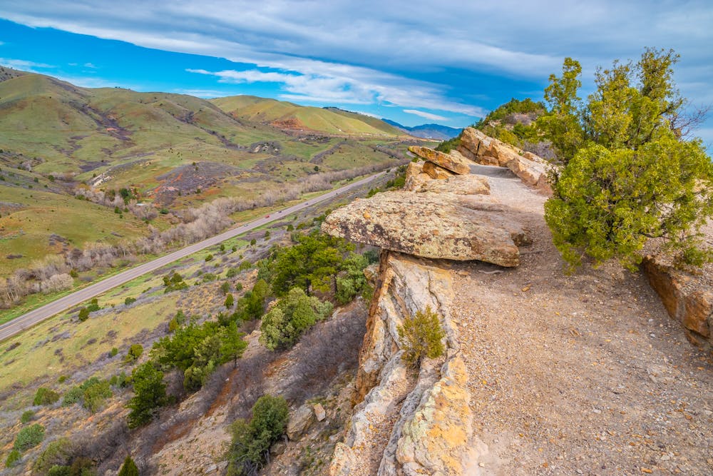
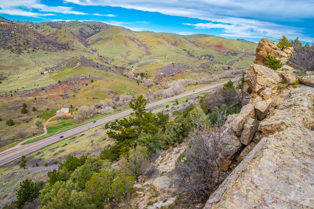
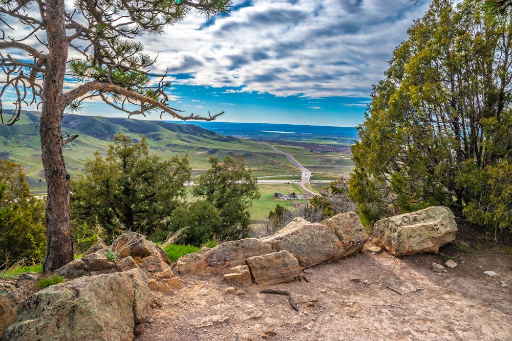
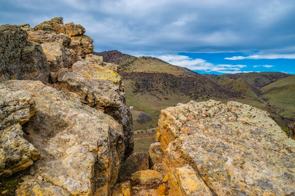
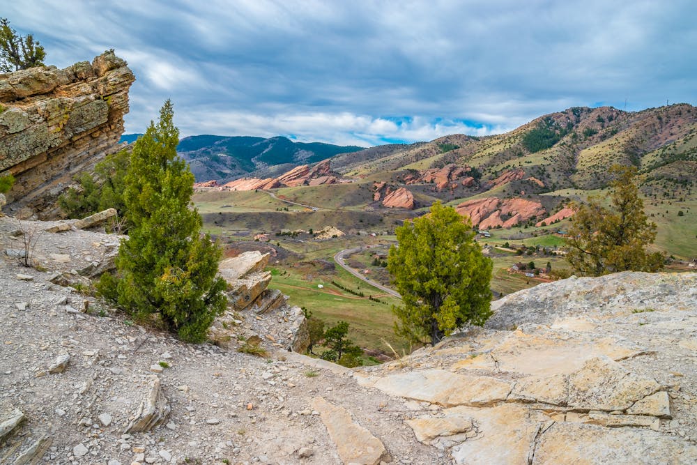
This out-and-back route quickly climbs up to the top of the ridge before following the Hogback formation south for several miles, before turning around and heading back to the parking lot the same way.
The trail itself doesn't gain an exceptional amount of elevation, but it is exceedingly rocky and rough. Some sections of the trail along the ridge are very exposed–make sure you play it safe around the cliff edges! Despite this exposure and the rocky challenges, this trail is bike-legal, and thus it's still fairly easy to negotiate on foot. That said, be sure to watch out for bikes, and be prepared to yield the trail in particularly sketchy areas.
Difficult
Hiking trails where obstacles such as rocks or roots are prevalent. Some obstacles can require care to step over or around. At times, the trail can be worn and eroded. The grade of the trail is generally quite steep, and can often lead to strenuous hiking.

Some trail sections have exposed ledges or steep ascents/descents where falling could cause serious injury.

Close to help in case of emergency.
3.7 km away
Explore more of the nature and geology that surrounds Red Rocks Amphitheater.
Easy Hiking
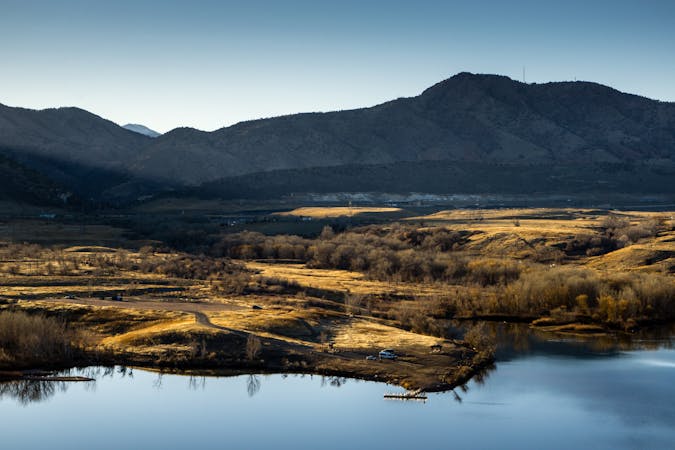
4.5 km away
Scenic open space near the city—perfect for before or after work outings.
Moderate Hiking
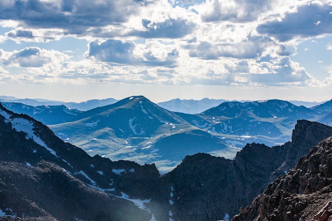
4.8 km away
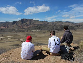
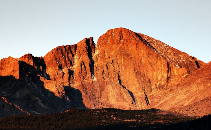
A tough ascent to the highpoint over Red Rocks Amphitheater.
Severe Hiking
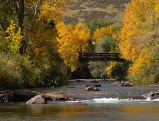
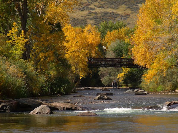
5 km away
A beautiful greenway path beginning near Morrison and running through Lakewood.
Easy Hiking
5.4 km away
Pleasant nature loop with interpretive signs.
Easy Hiking
5.6 km away
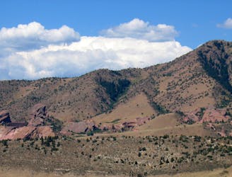
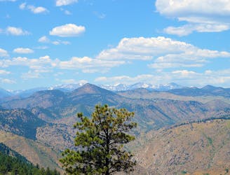
Mountainside hike next to Red Rocks Park with wide-open views over the Amphitheater and downtown Denver.
Moderate Hiking
5.7 km away
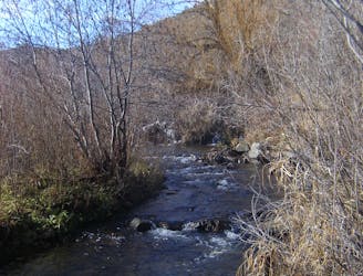
Enjoy mountain views, creekside shade, and peaceful picnic spots on this family-friendly stroll.
Moderate Hiking
6.4 km away
Challenging ascent of Lookout Mountain from its base in the town of Golden.
Difficult Hiking
6.8 km away
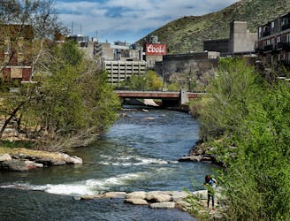
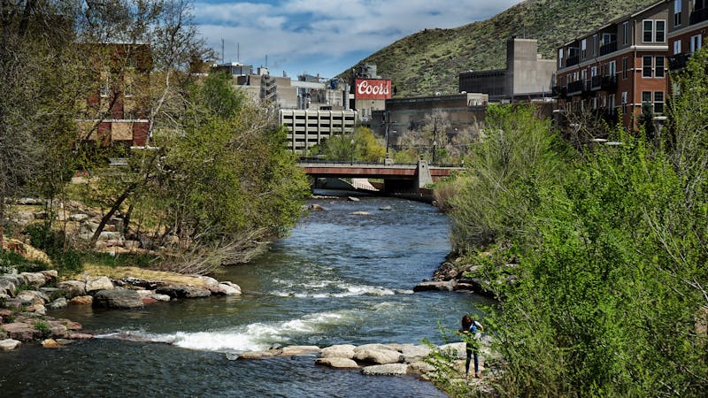
Stroll through a lively riverside park and downtown Golden to reach the brewery of Coors Banquet beer.
Easy Hiking
7 km away
Shady stroll along the creek—great for cooling off on a hot day.
Easy Hiking

6 routes · Hiking
7 routes · Hiking
7 routes · Hiking
6 routes · Alpine Climbing · Hiking
5 routes · Hiking · Road Biking

25 routes · Hiking

8 routes · Hiking
5 routes · Hiking
13 routes · Hiking