3.4 km away
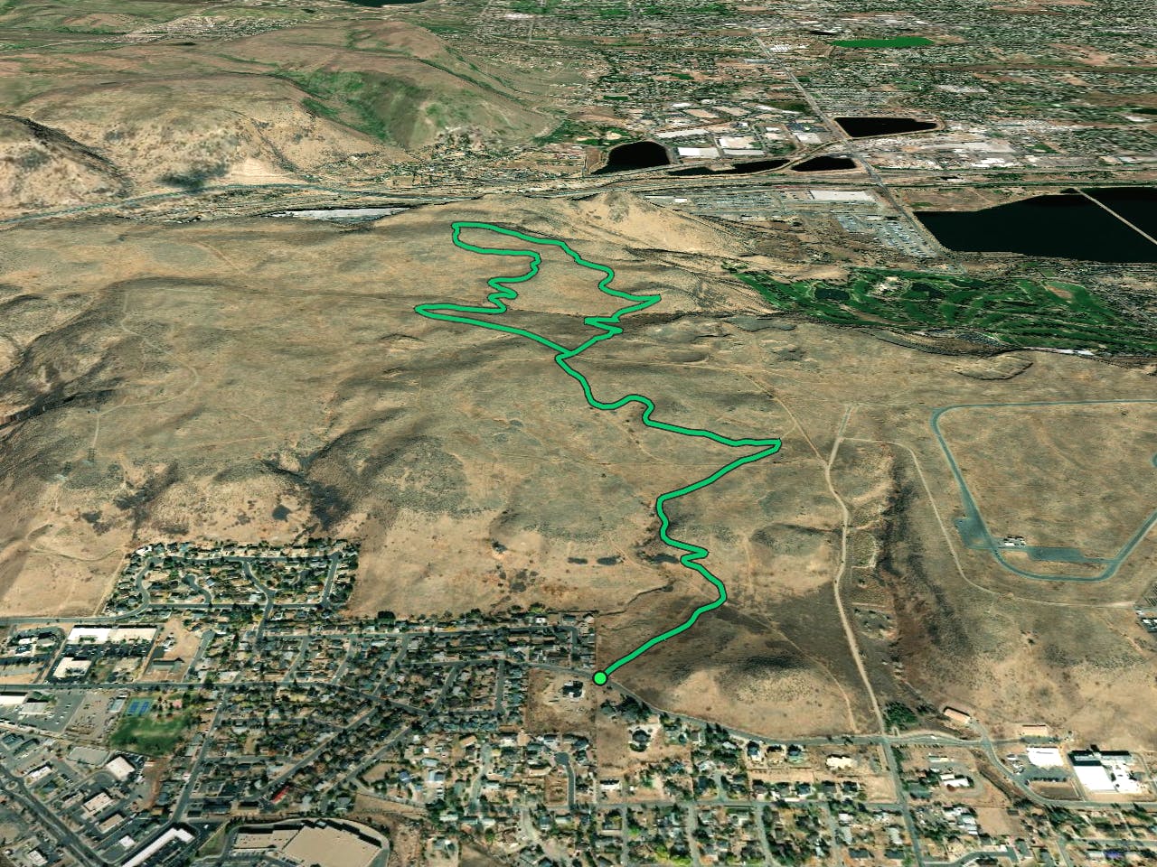
Golden Cliffs Loop
Climb to the panoramic top of North Table Mountain near Golden.
Difficult Hiking
- Distance
- 2.8 km
- Ascent
- 189 m
- Descent
- 189 m
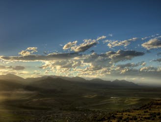
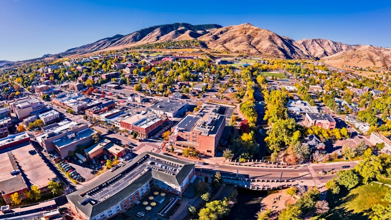
South Table Mountain Park is one of the most easily-accessible open spaces from downtown Golden. The park "combines panoramic mesa-top views, habitat for cliff-nesting raptors and proximity for many visitors to enjoy hikes, runs and rides," according to Jefferson County Open Space.
For a lengthier hike in this beautiful open space area, consider linking the Fossil Trail to the Lava Loop Trail for a 4-mile hike with about 400 feet of elevation gain.
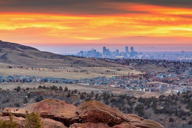
The Fossil Trail winds slowly up onto the flat-topped mesa before meeting the Lava Loop. Lava Loop winds along the mesa before heading out toward the edge of the cliff, providing great views of downtown Denver in the distance.
Note: The Lava Loop portion of this hike is seasonally closed from February 1 through July 31 to protect raptor nesting territory and ground-nesting bird habitat. However, you can choose to hike an out-and-back on the Fossil Trail during that time period instead.
Sources: https://www.jeffco.us/1430/South-Table-Mountain-Park
Moderate
Hiking along trails with some uneven terrain and small hills. Small rocks and roots may be present.

The path is on completely flat land and potential injury is limited to falling over.
Close to help in case of emergency.
3.4 km away
Climb to the panoramic top of North Table Mountain near Golden.
Difficult Hiking
3.7 km away
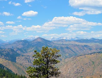
Challenging ascent of Lookout Mountain from its base in the town of Golden.
Difficult Hiking
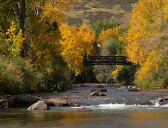
3.8 km away
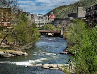
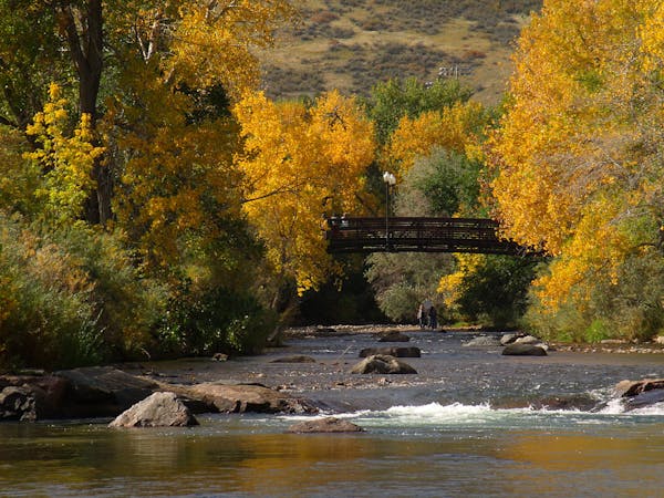
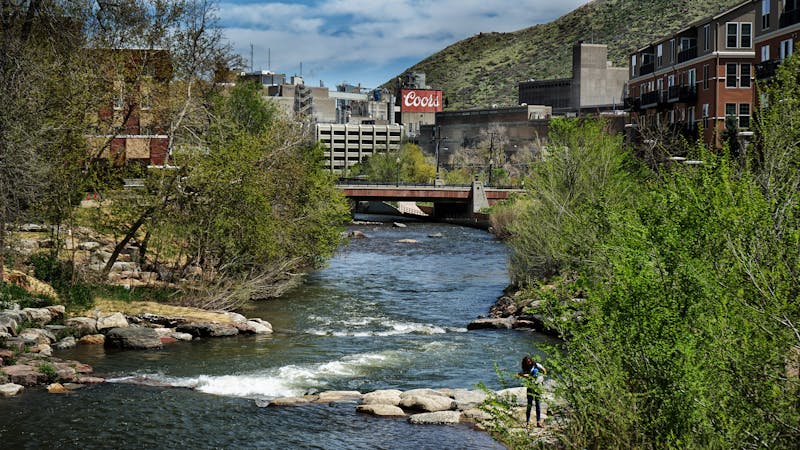
Stroll through a lively riverside park and downtown Golden to reach the brewery of Coors Banquet beer.
Easy Hiking
4.5 km away
Shady stroll along the creek—great for cooling off on a hot day.
Easy Hiking
5.3 km away
Pleasant nature loop with interpretive signs.
Easy Hiking
6.5 km away
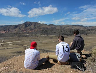
Scenic open space near the city—perfect for before or after work outings.
Moderate Hiking
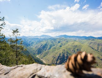
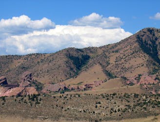
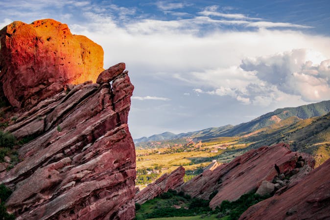
8.8 km away
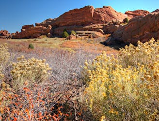
Explore more of the nature and geology that surrounds Red Rocks Amphitheater.
Easy Hiking
9.8 km away
A tough ascent to the highpoint over Red Rocks Amphitheater.
Severe Hiking
9.9 km away
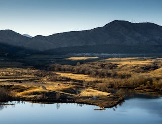
A beautiful greenway path beginning near Morrison and running through Lakewood.
Easy Hiking
6 routes · Hiking
7 routes · Hiking
7 routes · Hiking
6 routes · Alpine Climbing · Hiking
5 routes · Hiking · Road Biking
25 routes · Hiking
8 routes · Hiking
5 routes · Hiking
13 routes · Hiking