The Southwest Slopes Route starts at the North Half Moon Creek 4x4 Trailhead (TH) at 10,500'. Less capable vehicles must park a half-mile below, which adds one more mile to the hike.
At the TH, there is a memorial to the four Army soldiers who were killed in an August, 2009 Blackhawk helicopter crash during a training exercise near Massive's summit. After taking some time to appreciate such a tragedy, start hiking on the nearly level trail, gaining only 700' over the first 1.5 miles. Enjoy that mellow grade and prepare for the remaining 3,221' of climbing over the next 2.5 miles!
Before the steep climb begins, keep an eye out for one tricky spot on the trail that requires a bit of a right turn and clambering UP a narrow rock cut.
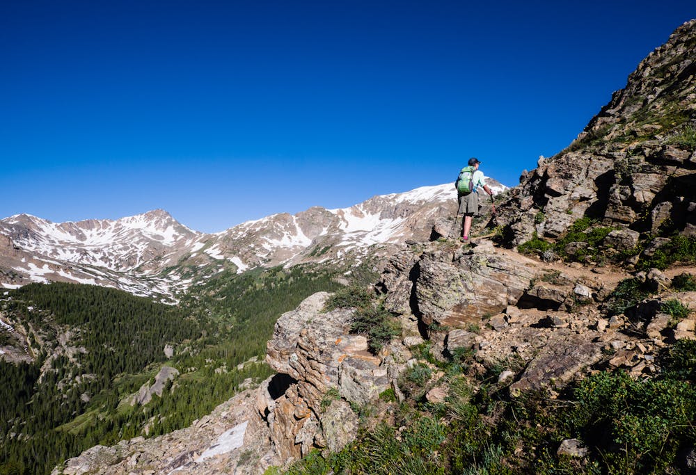
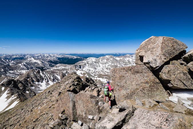
At about 11,200', look for an intersection, which may or may not have a sign, a cairn or some other kind of marking. Turn right (north) at the junction; straight goes to North Half Moon Lakes. The trail soon enters a huge talus slope, but no worries... Colorado Fourteener Initiative (CFI) constructed an amazing set of rock steps all the way up. Identifying and climbing those steps provides a solid path through the talus.
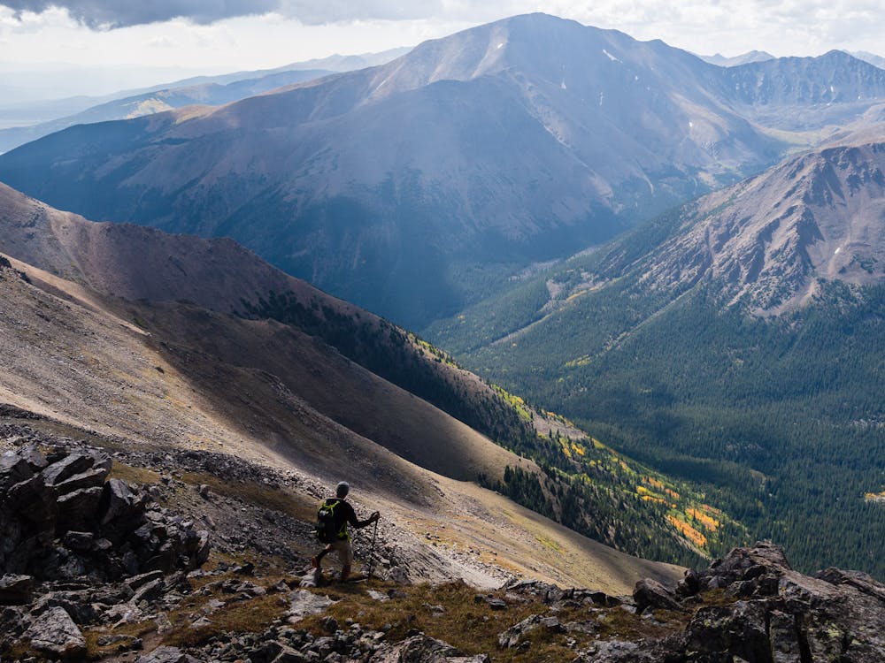
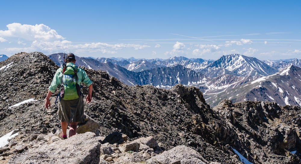
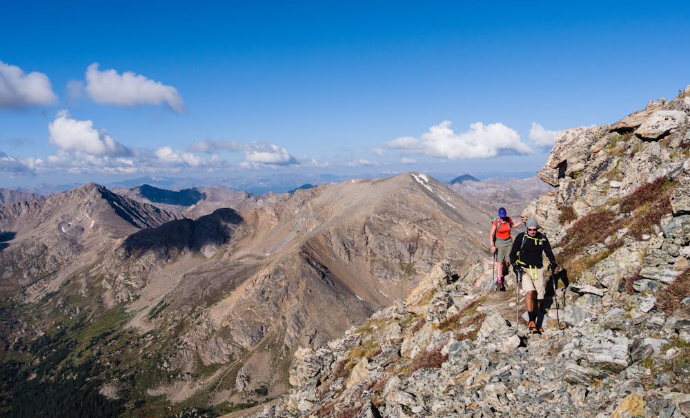
The trail continues steeply on well-constructed CFI trail, but the views are so captivating that stopping to rest is totally justifiable and even recommended. Just keep following the trail until arriving at the signed intersection with the standard East Slopes Trail. The routes merge into a single ridge trail that travels over a false summit en route to the actual summit of Mt. Massive.
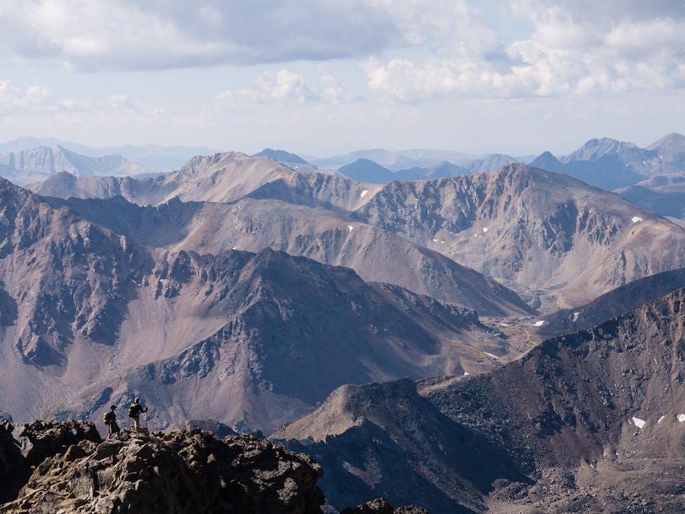
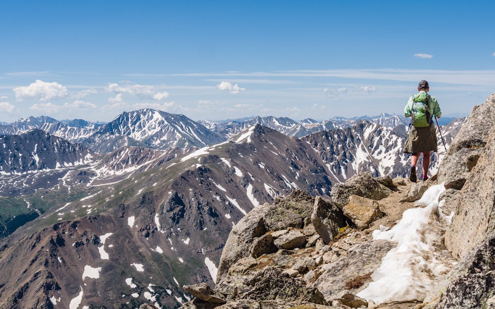
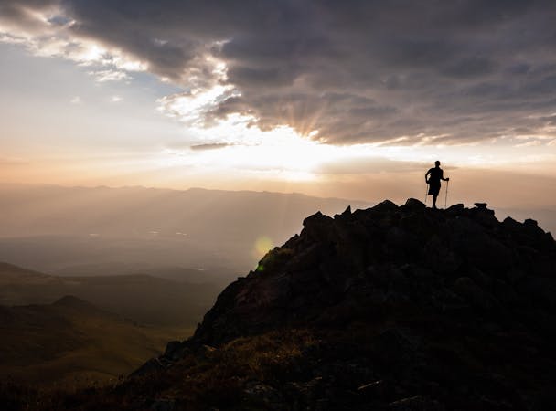
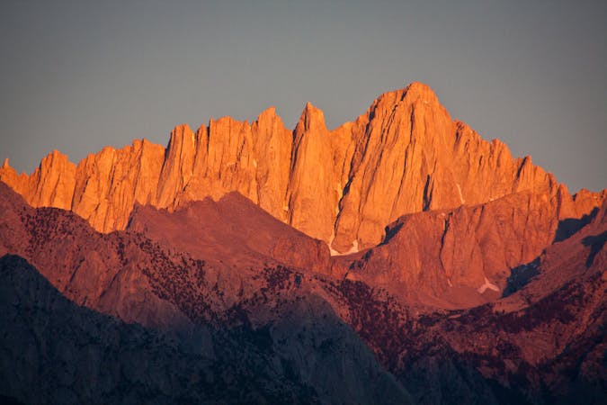
On the summit of Colorado's second highest summit, at 14,421', views of Leadville and countless mountains spread out below. Savor the magnitude of the moment, then head back along the ridge, taking care at the trail split to descend via the Southwest Slopes Trail.