848 m away
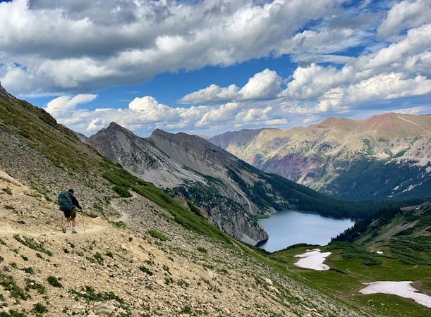
Trail 403 from Schofield Pass
Climb to the Trail 403 overlook the hard way.
Difficult Hiking
- Distance
- 8.4 km
- Ascent
- 549 m
- Descent
- 549 m
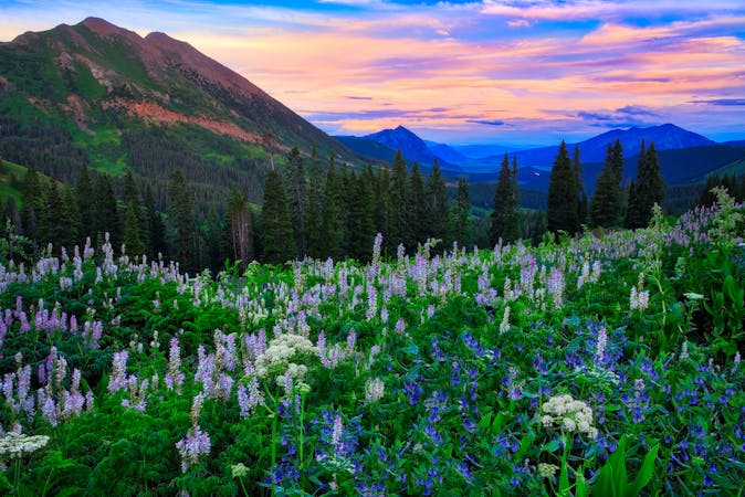
One of the most spectacular wildflower hikes in Crested Butte!
Hiking Moderate

Crested Butte is renowned as the wildflower capital of Colorado… and that boast isn’t in vain! The mountains surrounding Crested Butte are covered in blankets of spectacular, colorful flowers from late June through early August. For peak wildflower season, come to Crested Butte during their wildflower festival
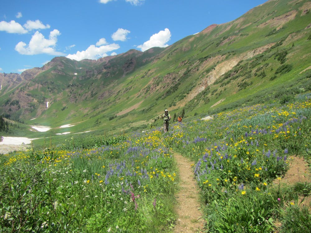
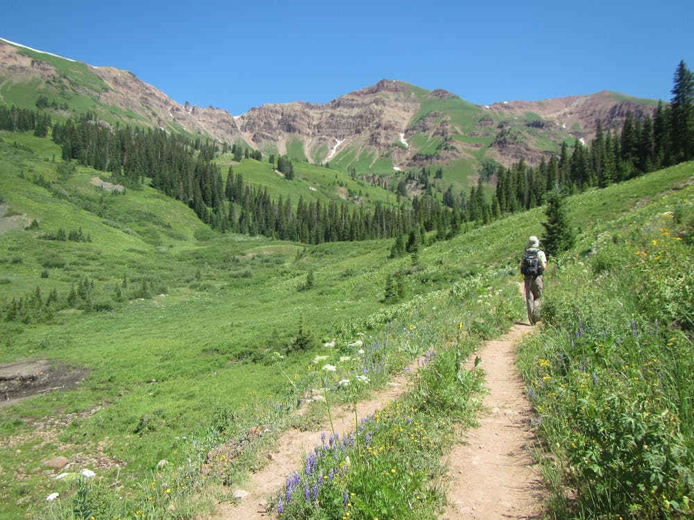
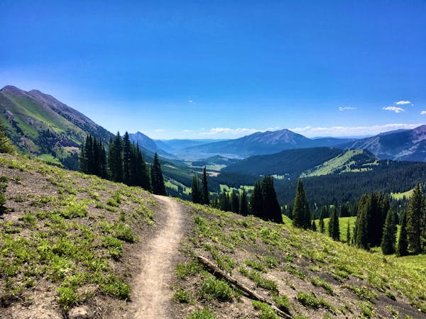
One of the best—and most accessible—wildflower hikes in the region is the Rustler’s Gulch trail. Just driving to the trailhead up Gothic Road is a spectacular experience, and once you head off the beaten path and up the singletrack, the views just get better.
Is it really worth the effort to get out of your car and go for this hike? Travel Crested Butte says that you need to “add Rustler Gulch to your bucket list.”
"There aren’t many hikes that can compete with the amazing variety and abundance of wildflowers you’ll find here,” they continue.
Cultivated and Wild takes it even further, saying "Rustler Gulch might be the most beautiful hiking trail in Crested Butte. It has it all. Meadows bursting with wildflowers. Roaring streams and plunging waterfalls. Glorious mountain peaks. If you’re visiting Crested Butte, you need to hike this trail.” What an endorsement!
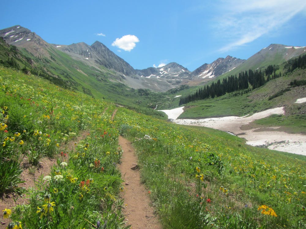
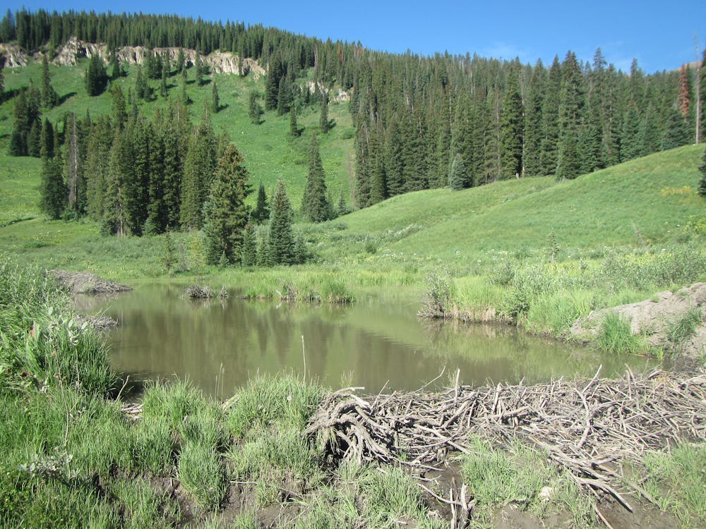
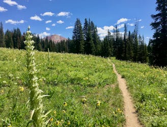
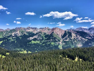
The hike begins in the trees, crossing several streams as it meanders along the valley bottom. After climbing through the forest, the trail breaks out above treeline at over 11,000 feet, with views of a stunning mountain ridge in front of you.
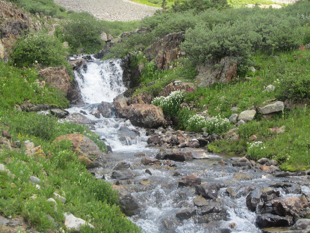
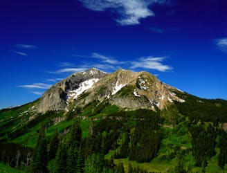
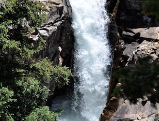
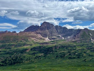
At the conclusion of the hike, “front and center is Precarious Peak, which stands at 13,306 feet,” according to Cultivated and Wild. "It’s joined by the Golden Tops and Cassie Peak. Many small waterfalls tumble down the cirque walls but another highlight of this trail is the large waterfall to the left of the trail near the end.”
This trail is an out-and-back route, so turn around and return the way you came… and enjoy the stunning views of a totally different mountain ridge!
Moderate
Hiking along trails with some uneven terrain and small hills. Small rocks and roots may be present.

The path is on completely flat land and potential injury is limited to falling over.

Little chance of being seen or helped in case of an accident.
848 m away
Climb to the Trail 403 overlook the hard way.
Difficult Hiking
848 m away
Difficult hike to the summit of one of the most iconic mountains in the region.
Severe Hiking
2.9 km away
One of the most popular, easy hikes in Crested Butte.
Moderate Hiking
3.6 km away
One of the best bang-for-your-buck alpine hikes in Colorado.
Moderate Hiking
5.3 km away
The toughest day of this 3-day itinerary, crossing two of the four alpine passes.
Difficult Hiking
7.4 km away
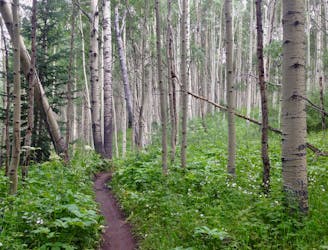
Hike through a stunning aspen grove and beautiful meadows.
Moderate Hiking
16 routes · Hiking
4 routes · Hiking
3 routes · Hiking