2 m away
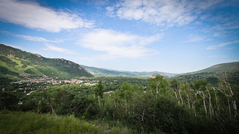
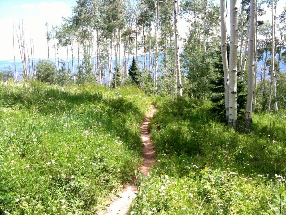
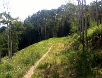
Smuggler Mountain -> Sunnyside Loop
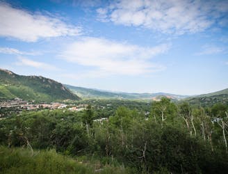
A big backcountry loop located right in Aspen's backyard.
Difficult Mountain Biking
- Distance
- 27 km
- Ascent
- 1 km
- Descent
- 1 km
An incredible Mega Loop that's 95% on singletrack!
Mountain Biking Difficult

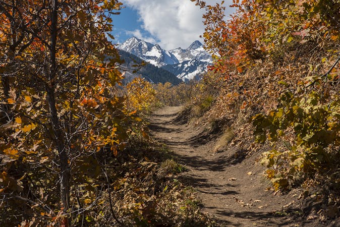
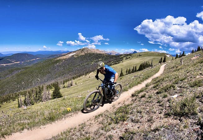
The Aspen/Snowmass IMBA Epic Loop, also known as the “Mega Loop,” is an almost 60-mile loop incorporating many of the very best trails in the Roaring Fork Valley. On this ride you’ll tackle local classics like Smuggler Mountain, the Rim Trail, Government Camp, and so much more… and then combine them all into one massive freaking loop.
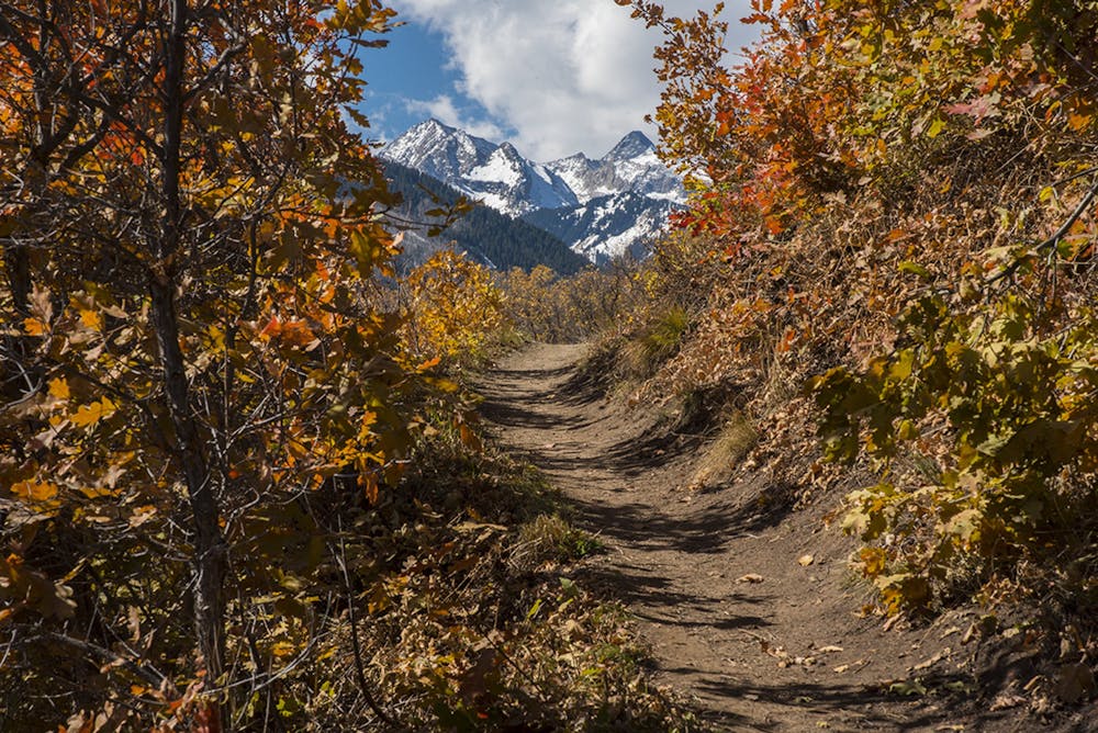
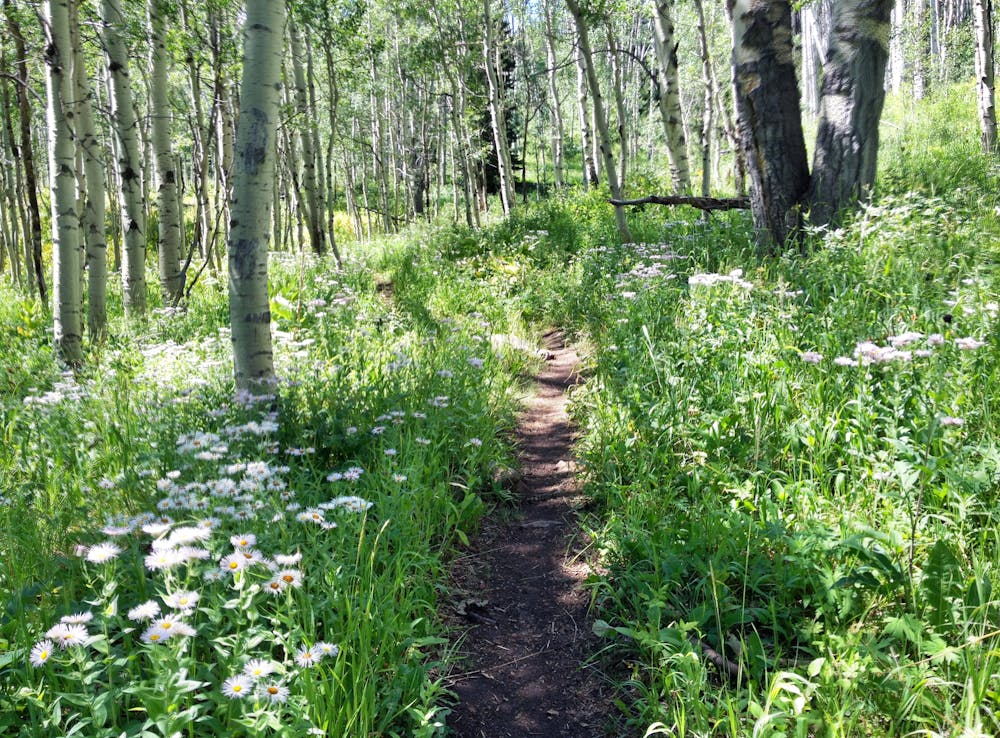
On this ride, you’ll encounter everything from "aspen and dark timber forests to sage fields and grassy meadows bursting with wildflowers,” according to the Roaring Fork Mountain Bike Association (RFMBA). "From flowing on ribbons of smooth dirt, to negotiating the rock gardens of the famous local classics, finishing this ride in a day rewards those with patience, fitness, skill, and experience,” they continue.
The vast majority of this ride is buff, smooth singletrack, but a few of the local classics provide some spice and challenge. Government Camp, in particular, is home to some seriously-chunky rock gardens and technical stream crossings. In addition, the trail tread on the Sunnyside trail is ridiculously narrow, with the steep mountain slope providing a very real fall danger.
If you’re willing to brave the challenges, this Mega Loop will offer up a rare long-distance ride that’s about 95% on singletrack. There are few places in the nation where you can pedal anything remotely like this!
Sources: https://www.imba.com/ride/where-to-ride/imba-epics https://www.rfmba.org/aspen-snowmass-mega-loop-earns-imba-epic-designation/
Difficult
Mostly stable trail tread with some variability featuring larger and more unavoidable obstacles that may include, but not be limited to: bigger stones, roots, steps, and narrow curves. Compared to lower intermediate, technical difficulty is more advanced and grades of slopes are steeper. Ideal for upper intermediate riders.

The trail contains some obstacles such as outcroppings and rock which could cause injury.
Away from help but easily accessed.
2 m away
A big backcountry loop located right in Aspen's backyard.
Difficult Mountain Biking
4 km away
A straightforward figure-8 ride on Buttermilk Mountain.
Difficult Mountain Biking
5 routes · Mountain Biking
4 routes · Mountain Biking