4 km away
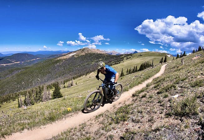
Aspen Snowmass IMBA Epic Loop
An incredible Mega Loop that's 95% on singletrack!
Difficult Mountain Biking
- Distance
- 90 km
- Ascent
- 2.9 km
- Descent
- 2.9 km
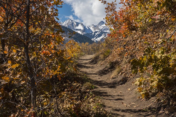
A straightforward figure-8 ride on Buttermilk Mountain.
Mountain Biking Difficult
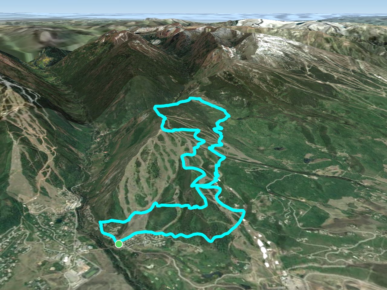
This straightforward figure-8 route leaves most of the route finding behind and allows riders to focus on grinding up a stiff dirt road climb through the resort, and railing delightful singletrack on the way back down!
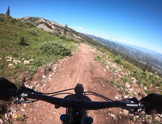
The climb up the mountain takes place mostly on a dirt road that winds its way up through the ski resort. About 1/3 of the way up you’ll pass over the Government Trail—the final leg of your descent back down through the resort.
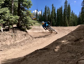
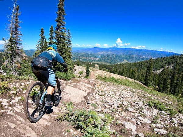
After grinding and grinding up the mountain, you’ll reach a viewpoint and be rewarded with "amazing views of the Maroon Creek Valley and Pyramid Peak,” according to CycleLifeHQ.com. From here, the remainder of the climb takes place on delightful singletrack that loops around the upper Buttermilk Bowls, before beginning the descent in earnest.
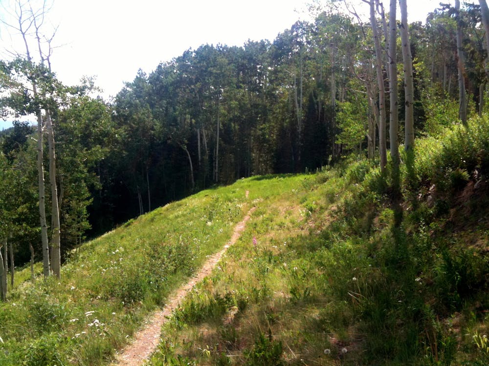
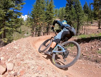
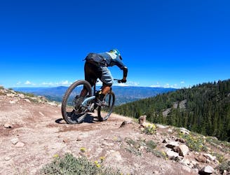
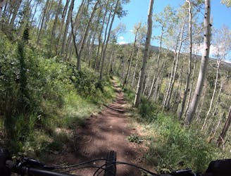
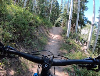
The descent swoops and flows through pine and aspen forest on mostly smooth singletrack. While this trail descends down through a ski resort, don’t expect to find a purpose-built flow trail or a feature-rich downhill test piece. This is narrow singletrack trail riding at its finest, with roots and rocks adding some roughness and challenge to this narrow strip of dirt.
On the lower section of the descent on Government Trail, you’ll encounter the most challenging and renowned sections of Government Trail, known simply as The Rock Garden and The Root. Intermediate riders who prefer long climbs and smooth singletrack can always opt to walk the few challenging sections, as most of this route is quite smooth and flowy.
Sources: https://rootsrated.com/stories/aspens-biggest-best-mountain-bike-trails-in-aspen https://www.cyclelifehq.com/en/listings/305194-buttermilk-bowls-loop https://mtnbiketrails.com/bike/buttermilk-bowls-loop https://www.youtube.com/watch?v=Gztzpf5w8lw
Difficult
Mostly stable trail tread with some variability featuring larger and more unavoidable obstacles that may include, but not be limited to: bigger stones, roots, steps, and narrow curves. Compared to lower intermediate, technical difficulty is more advanced and grades of slopes are steeper. Ideal for upper intermediate riders.

The trail contains some obstacles such as outcroppings and rock which could cause injury.
Away from help but easily accessed.
4 km away
An incredible Mega Loop that's 95% on singletrack!
Difficult Mountain Biking
4 km away
A big backcountry loop located right in Aspen's backyard.
Difficult Mountain Biking
6.7 km away
The OG intermediate jump run in Snowmass's upper zone.
Difficult Mountain Biking
6.7 km away
The best intermediate flow trail in the state of Colorado!
Moderate Mountain Biking
6.8 km away
A ripping black diamond trail harkening back to the old days of DH riding.
Severe Mountain Biking
7.1 km away
A delightful beginner trail that passes through a stunning grove of aspens.
Easy Mountain Biking
7.1 km away
An excellent intermediate progression trail.
Moderate Mountain Biking
7.1 km away
Snowmass's iconic black diamond jump line.
Severe Mountain Biking
7.2 km away
A locals favorite with a moderate climb and descent with great views of Snowmass mountain and the Roaring Fork Valley.
Moderate Mountain Biking
6 routes · Mountain Biking
5 routes · Mountain Biking
4 routes · Mountain Biking