4.3 km away
Viking
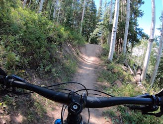
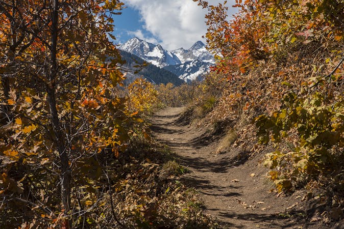
An excellent intermediate progression trail.
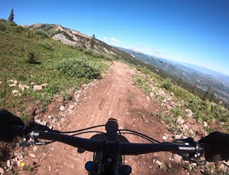
Moderate Mountain Biking
- Distance
- 3.8 km
- Ascent
- 4 m
- Descent
- 307 m
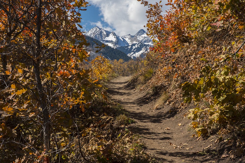
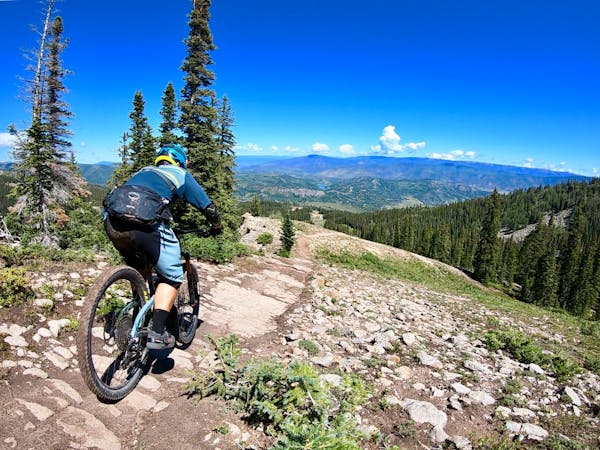
A locals favorite with a moderate climb and descent with great views of Snowmass mountain and the Roaring Fork Valley.
Mountain Biking Moderate

This Trail is generally accessed from Divide Road and ridden South to North, but can also be accessed from Sinclair road which divides North and South Rim trails. Starting from the angled parking on Divide Rd, cross the road and head down hill just a few feet, the trail head is well marked with a map kiosk and a sign. The trail proceeds to the right of the sign, and immediately starts your climb up into the switchbacks. The turns are somewhat steep but there are moments of rest in between. After a bit of climbing you will be aware of the summit as the trees begin to give way to beautiful views of Snowmass Mountain. Watch for the trail fork at the resting bench, where you can go left to the overlook and granite "Yin Yang" symbol just a few hundred feet down the trail, or right to continue to the meat of the trail and the fun descent that lays ahead. The trail will continue into the trees and along the rim where there are a few spots of exposure. Most places you can keep your speed up as long as you are watching for hikers and dogs, and the few water bars at the beginning of the descent, but be aware that there are some switchbacks on the descent. The trail will begin ascending again after reaching the lowest elevation of about 8,500' . There is only a short bit of climbing before you reach Sinclair road which is dirt and gravel and closed to all traffic to the left by a large gate that designates private property. At this point you can either head down the paved road back to the village, or continue on to Rim Trail North.
Rim Trail North offers more beautiful ridgeline singletrack with beautiful views in all directions!
When it comes time to descend back toward the village, the trail drops quickly through a series of back-to-back switchbacks. Overall the trail tread is smooth and dusty, and while there are a few low berms in some of the corners, the switchbacks can sneak up on you quickly.
Ride heads up, and beware of hiking and uphill traffic.
Moderate
Mostly stable trail tread with some variability, with unavoidable obstacles 8in/20cm tall or less. Other obstacles such as rock gullies and steep sections may exist. Ideal for lower intermediate riders.

The path is on completely flat land and potential injury is limited to falling over.
Close to help in case of emergency.
4.3 km away
An excellent intermediate progression trail.
Moderate Mountain Biking
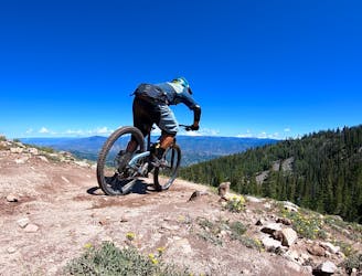
4.3 km away
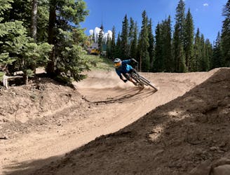
Snowmass's iconic black diamond jump line.
Severe Mountain Biking
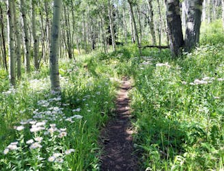
4.3 km away
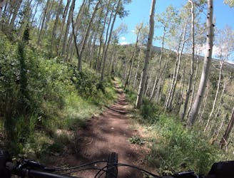
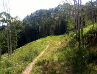
A delightful beginner trail that passes through a stunning grove of aspens.
Easy Mountain Biking
4.7 km away
A classic point-to-point singletrack running from Snowmass to Buttermilk.
Difficult Mountain Biking
6.1 km away
A ripping black diamond trail harkening back to the old days of DH riding.
Severe Mountain Biking
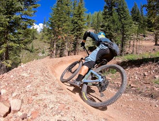
6.4 km away
The OG intermediate jump run in Snowmass's upper zone.
Difficult Mountain Biking
6.4 km away
The best intermediate flow trail in the state of Colorado!
Moderate Mountain Biking
7.2 km away
A straightforward figure-8 ride on Buttermilk Mountain.
Difficult Mountain Biking
6 routes · Mountain Biking
5 routes · Mountain Biking