3.5 km away
Verde
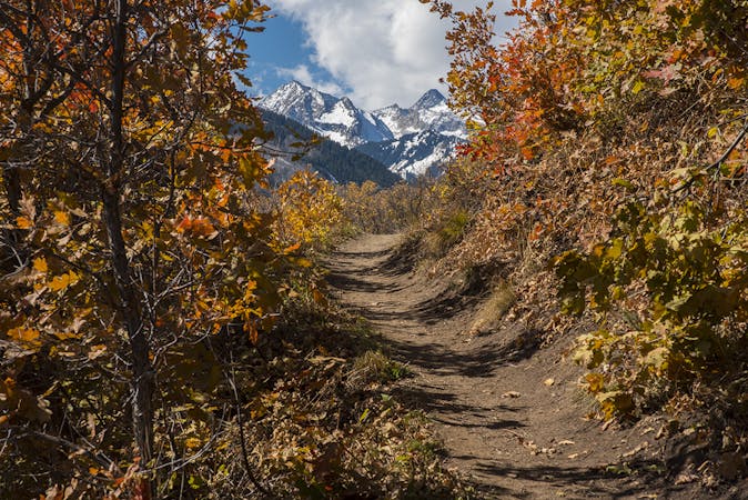
A delightful beginner trail that passes through a stunning grove of aspens.
Easy Mountain Biking
- Distance
- 6.4 km
- Ascent
- 22 m
- Descent
- 444 m
A classic point-to-point singletrack running from Snowmass to Buttermilk.
Mountain Biking Difficult

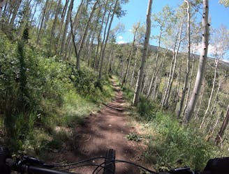
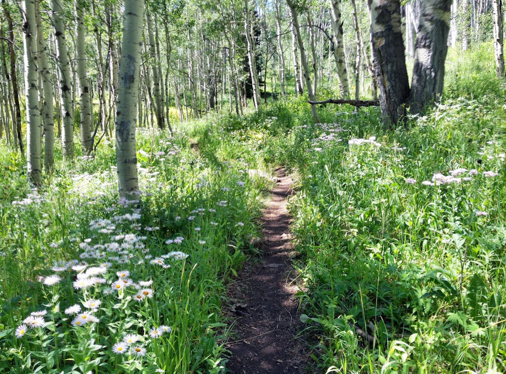
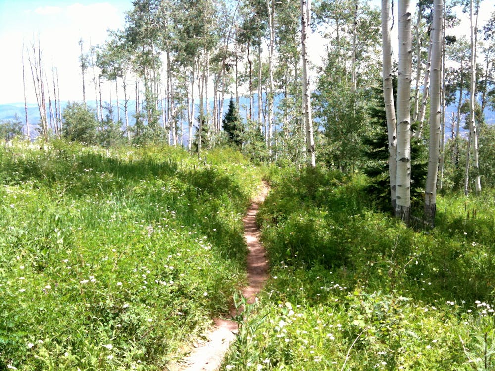
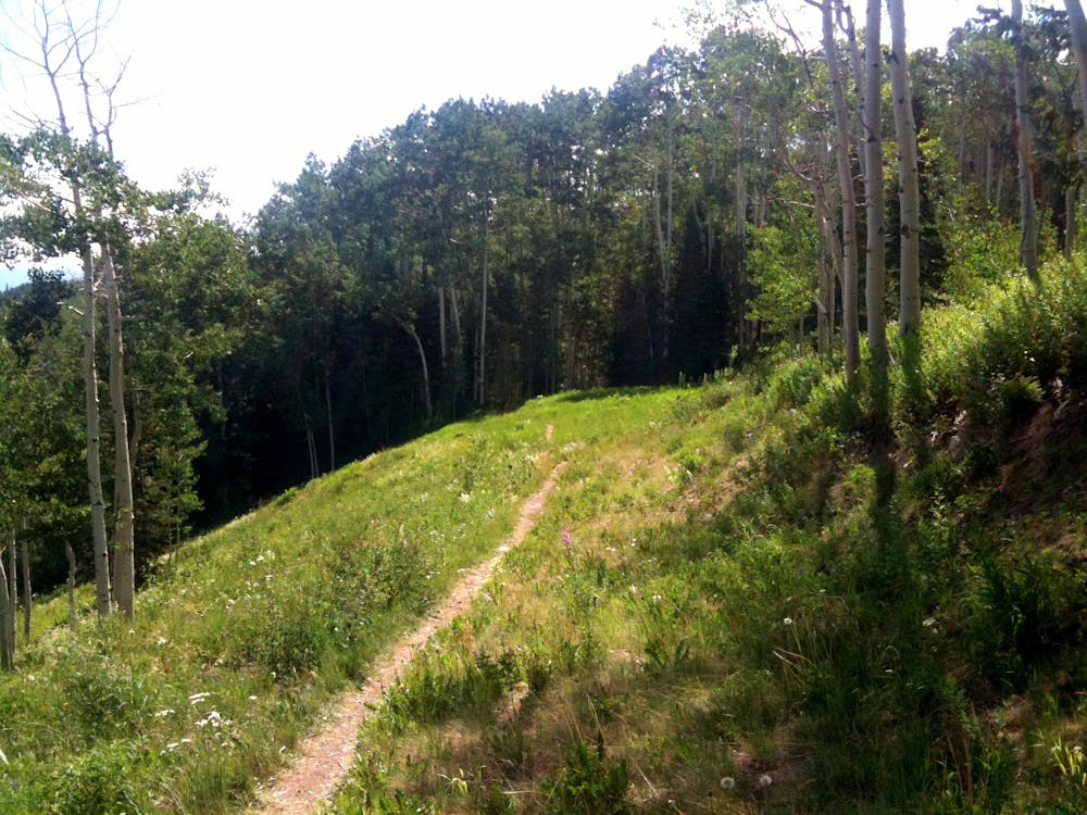
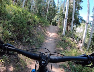
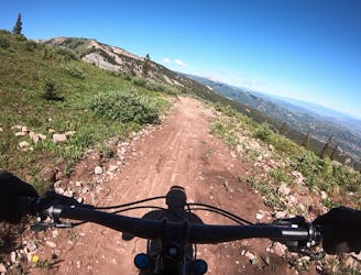
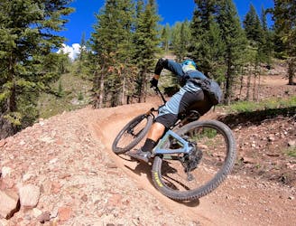
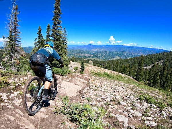
The Government Trail anchors many iconic mountain bike trail rides in the greater Aspen/Snowmass area. Running from Snowmass Mountain to Buttermilk Mountain, it’s possible to ride this trail as a point-to-point with a car shuttle or to loop this trail with a long combination of other sections of singletrack.
While most websites list the distance of the Government Trail as a mere 6.6 miles or so, if you combine the government trail with the West Government Trail, you can stitch together an 11-mile point-to-point route with 1,900 feet of climbing and 2,800 feet of descending. Another point-to-point option begins at the base of Snowmass below the village, climbs through the village and up through the resort, and then hops on the Government Trail.
The character of the singletrack itself changes dramatically depending on the section that you’re pedaling, in keeping with its designation as a classic singletrack trail ride. Some sections of trail are butter-smooth, flowing through gorgeous aspen groves. Others are rooty, rocky, and challenging. As 5280.com says, "this trail mostly descends as it heads west, there’s a decent climb mid-way through and several stretches of rolling hills interspersed with many technical challenges—like creek crossings, a rock garden, and the infamous Root, where you can take the quicker route over a series of tree roots or go around them.”
As you plan your ride, note that “the section of the trail from West Buttermilk to Elk Camp Summer Road has a seasonal wildlife closure from May 15 – June 21,” according to AspenTrailFinder.com.
Sources: https://www.aspentrailfinder.com/government-trail/ https://www.youtube.com/watch?v=nNKx4nKFty8 https://www.5280.com/2019/07/9-must-try-mountain-biking-trails-near-aspen/
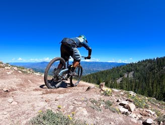
Difficult
Mostly stable trail tread with some variability featuring larger and more unavoidable obstacles that may include, but not be limited to: bigger stones, roots, steps, and narrow curves. Compared to lower intermediate, technical difficulty is more advanced and grades of slopes are steeper. Ideal for upper intermediate riders.

The trail contains some obstacles such as outcroppings and rock which could cause injury.
Away from help but easily accessed.
3.5 km away
A delightful beginner trail that passes through a stunning grove of aspens.
Easy Mountain Biking
3.5 km away
An excellent intermediate progression trail.
Moderate Mountain Biking
3.5 km away
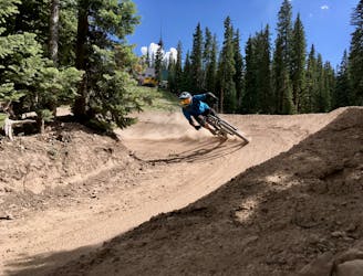
Snowmass's iconic black diamond jump line.
Severe Mountain Biking
4.7 km away
A locals favorite with a moderate climb and descent with great views of Snowmass mountain and the Roaring Fork Valley.
Moderate Mountain Biking
5.2 km away
A ripping black diamond trail harkening back to the old days of DH riding.
Severe Mountain Biking
5.5 km away
The OG intermediate jump run in Snowmass's upper zone.
Difficult Mountain Biking
5.5 km away
The best intermediate flow trail in the state of Colorado!
Moderate Mountain Biking
6 routes · Mountain Biking
5 routes · Mountain Biking