7.1 km away
Colorado Trail: Miner's Creek Segment

This brutal segment of the Colorado Trail is best enjoyed on a long-travel enduro bike.
Extreme Mountain Biking
- Distance
- 23 km
- Ascent
- 962 m
- Descent
- 1.1 km

A classic high-alpine shuttle run with beautiful views and fast, flowing singletrack.
Mountain Biking Severe

The Two Elk Trail is a classic high-alpine shuttle run that utilizes Interstate 70 for the shuttle. With the ride beginning right on I-70 at the top of Vail Pass you might think that the character of this ride would be tainted by the noise of traffic, but the trail quickly takes you deep into the mountains. Soon, the trees and the mountain peaks surround you, making you feel small and insignificant as you pedal through the wilderness.
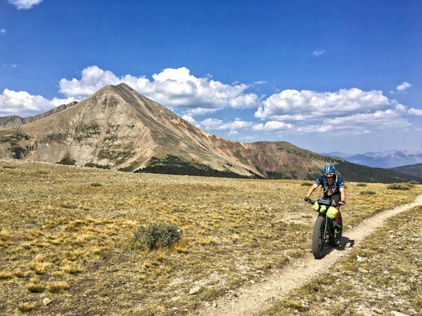
After the steep climb up, the Top of the World section really does feel like you're riding on top of the world. Very few sections of singletrack this mellow roll along such beautiful high-alpine meadows, making this a unique and worthwhile ride! Soak in the never-ending views of jagged mountain peaks all around you, and be sure to pack a camera.
For the adrenaline-driven, the fast and furious descent off of the Top of the World dives into the trees, shredding through dark, black loam (a rarity in Colorado) and slick root webs.
Once the route takes the left turn toward Minturn (other options exist), the grade mellows somewhat, with the singletrack flowing through the back bowls of Vail Ski Resort. Here the trail continues to rip downhill, but bermed corners and delightful rollers take over.
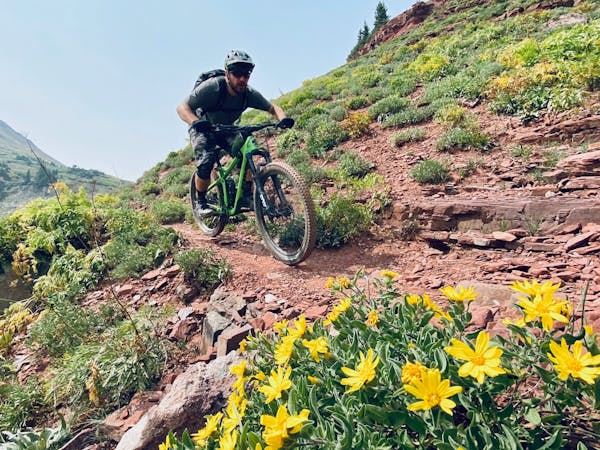
Once the trail drops into the sharp-sided creek bottom, the singletrack again gets much more technical, with chunky rock gardens, big bouldery up-and-over moves, and some respectable exposure thanks to the trail's bench that was cut high into the side of the valley. Along with the technical challenge come gorgeous views of the creek, and then eventually a section running through a deep forest before you pop out in the town of Minturn.
While Two Elk seems like it's conveniently located close to the hustle and bustle of Colorado's mountain tourism, this is a gem of a route that offers the wilderness character that we all seek.
Severe
Widely variable, narrow trail tread with steeper grades and unavoidable obstacles of 15in/38cm tall or less. Obstacles may include unavoidable bridges 24in/61cm wide or less, large rocks, gravel, difficult root sections, and more. Ideal for advanced-level riders.
7.1 km away

This brutal segment of the Colorado Trail is best enjoyed on a long-travel enduro bike.
Extreme Mountain Biking
7.1 km away

One of the best sections of high alpine singletrack in the state of Colorado!
Difficult Mountain Biking

26 routes · Mountain Biking

25 routes · Mountain Biking