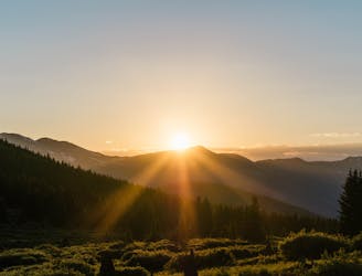
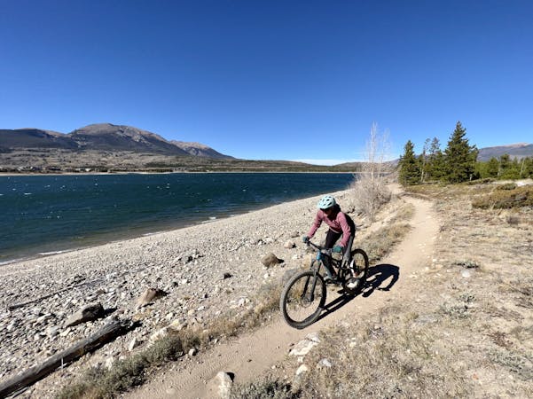
3 m away
Colorado Trail: Miner's Creek Segment
This brutal segment of the Colorado Trail is best enjoyed on a long-travel enduro bike.
Extreme Mountain Biking
- Distance
- 23 km
- Ascent
- 962 m
- Descent
- 1.1 km
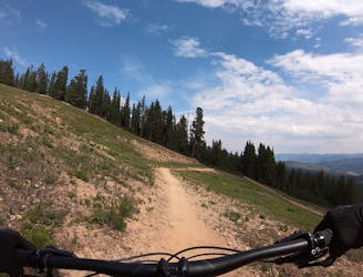
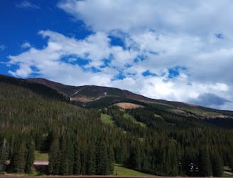
One of the best sections of high alpine singletrack in the state of Colorado!
Mountain Biking Difficult

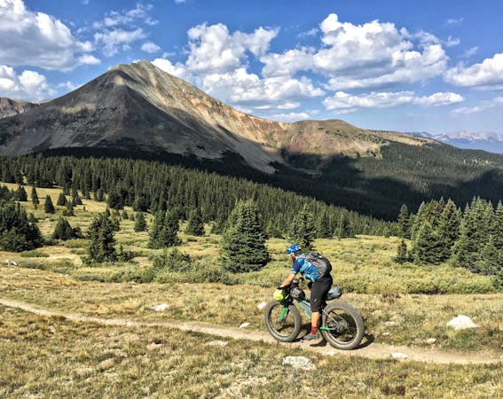
The Colorado Trail (COT) is widely regarded as one of the very best long distance mountain bike trails in the world. Running for 535 miles between Denver and Durango, the trail crosses high alpine mountain passes and drops into beautiful valleys as it traverses the most beautiful portions of the state of Colorado. The COT forms one third of the Triple Crown of Bikepacking, along with the Arizona Trail and the Great Divide Mountain Bike Route.
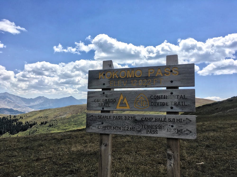
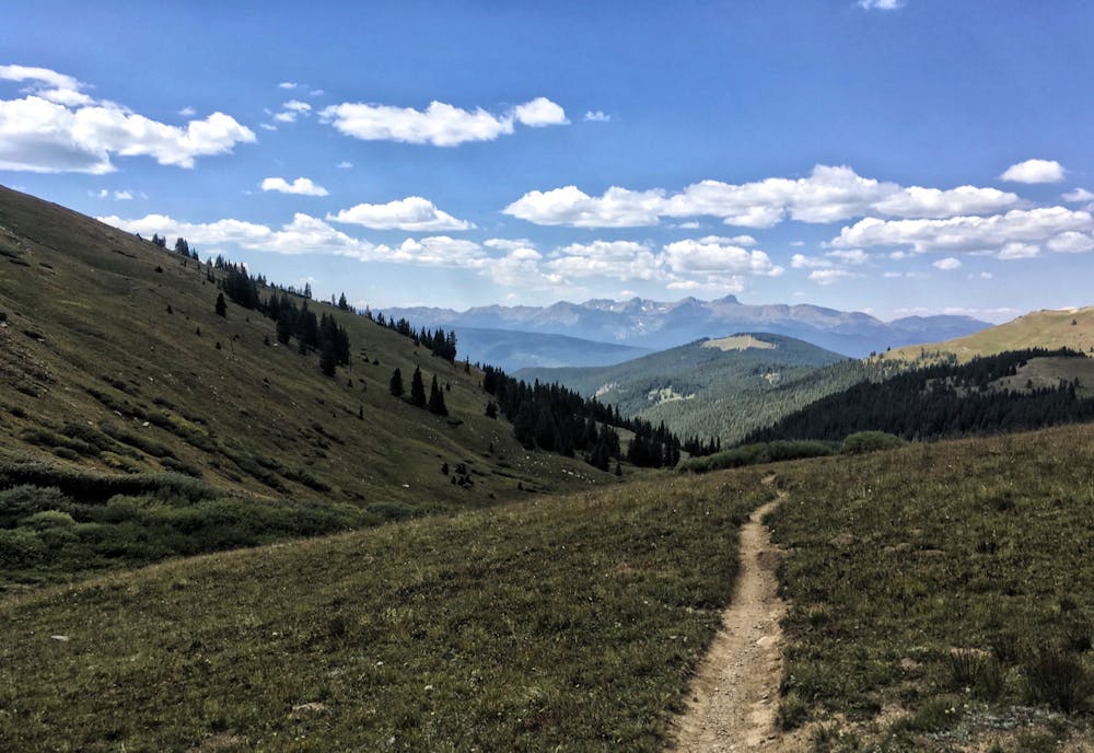
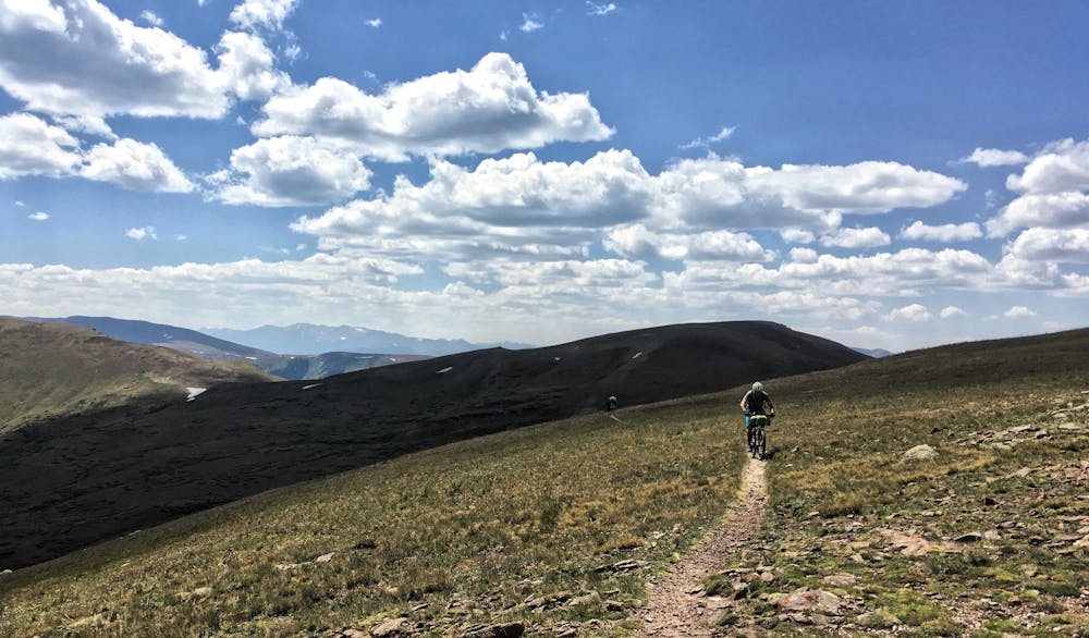
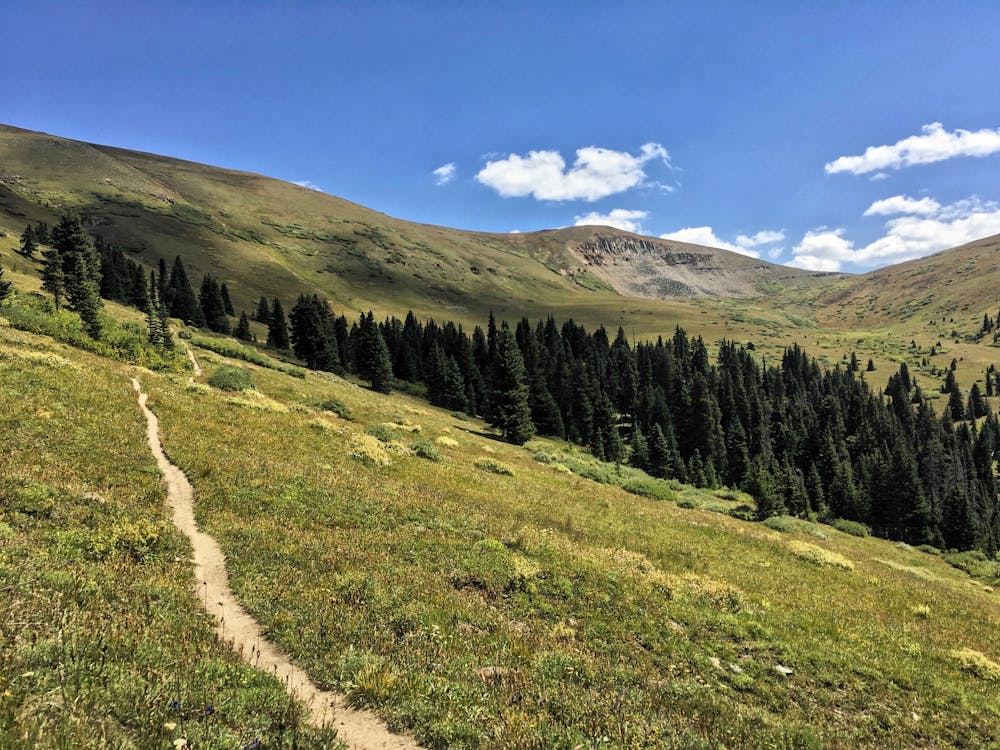
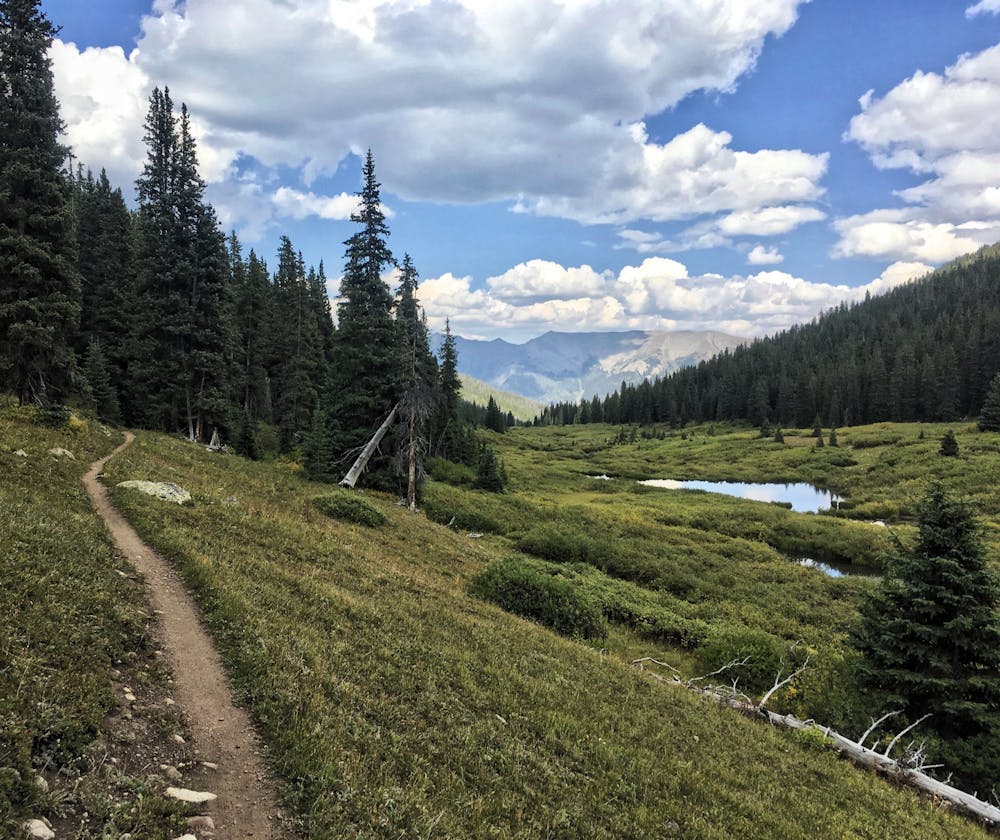
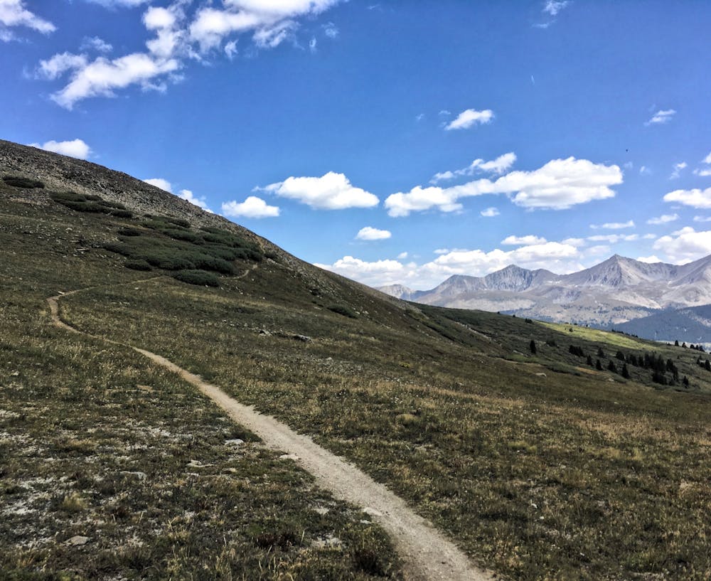
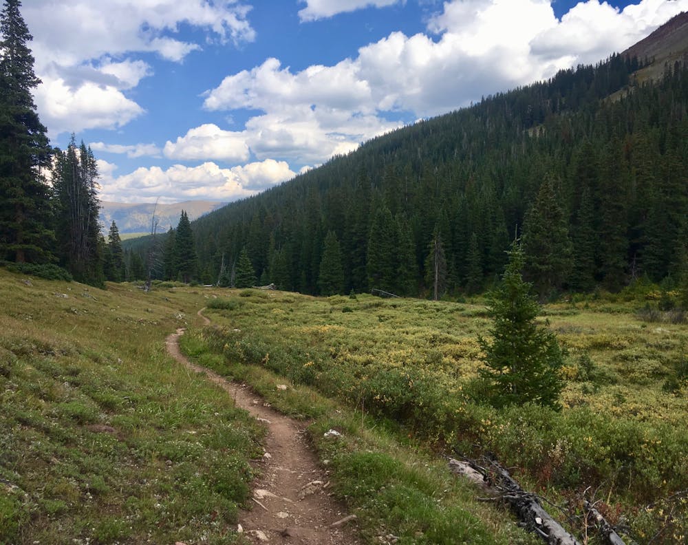
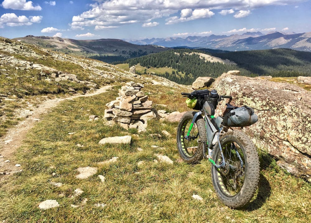
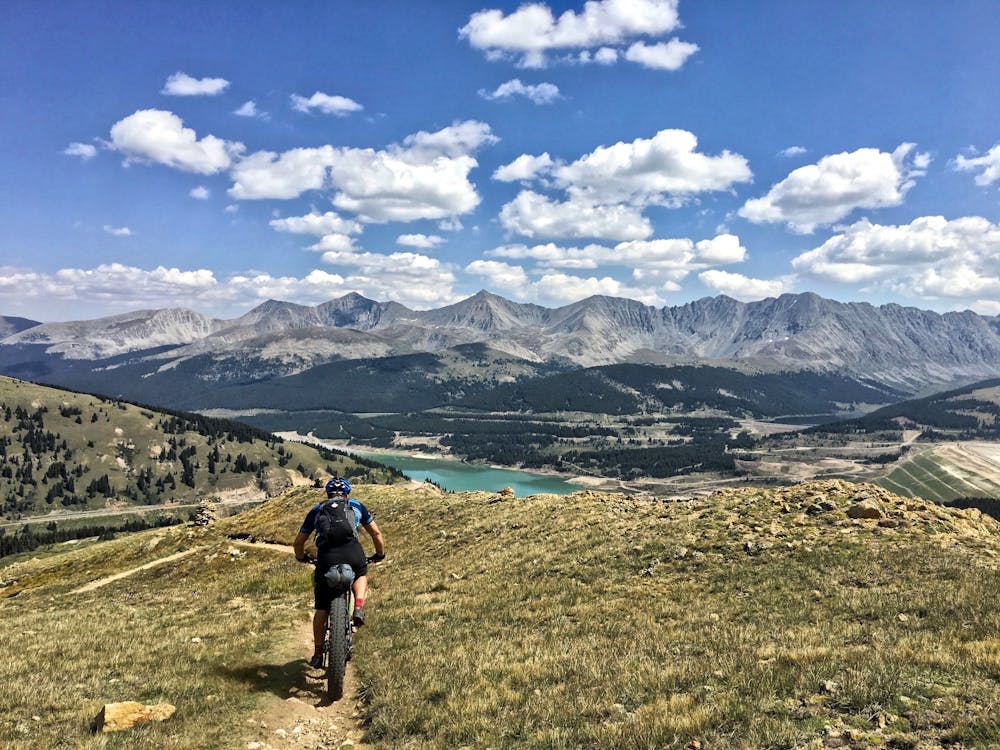
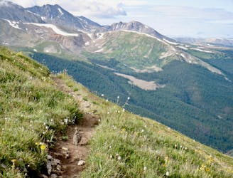
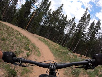
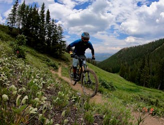
The Searle and Kokomo Pass section of the COT is arguably one of the most scenic and enjoyable sections. Of course, like the rest of the Colorado Trail, in no way is it easy: a long climb from either direction greets the rider, almost guaranteeing a hike-a-bike. That hike-a-bike pays off with a ripping descent, whether you’re descending to Camp Hale or to Copper. Rock gardens litter both descents, but no massive obstacles will require advanced-level skills to negotiate.
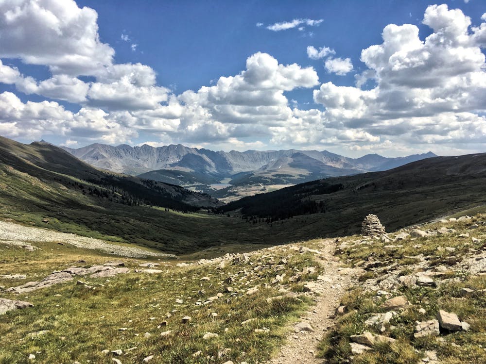
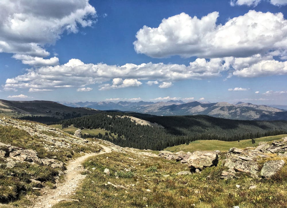
What makes this segment so spectacular is the high alpine stretch of trail between Searle Pass and Kokomo Pass. Both passes lie above treeline, with several miles of high alpine singletrack separating them. Including the climb up to the top, the section between the passes, and the descent to treeline, riders can expect to spend several hours riding stunningly-beautiful above-treeline singletrack.
In a state like Colorado that boasts so much alpine terrain above treeline, it’s still relatively rare for a mountain bike ride to break out of the trees and then stay there for a decent length of time. Rather, if the singletrack does climb above treeline, it usually crosses a pass and descends back into the trees quickly. The Searle Pass/Kokomo Pass section of trail, in comparison, spends a very long time above the trees—an absolute treat!
Of course, this means that caution must be given to the weather. Start your climb early, and plan to be back below treeline before noon.
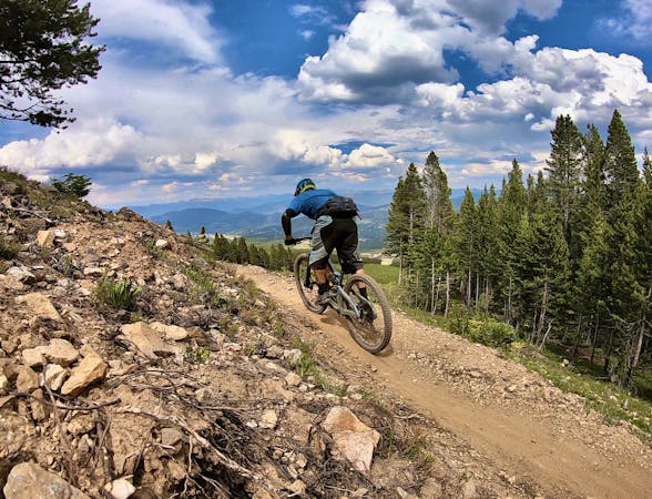
Difficult
Mostly stable trail tread with some variability featuring larger and more unavoidable obstacles that may include, but not be limited to: bigger stones, roots, steps, and narrow curves. Compared to lower intermediate, technical difficulty is more advanced and grades of slopes are steeper. Ideal for upper intermediate riders.

The trail contains some obstacles such as outcroppings and rock which could cause injury.

In the high mountains or remote conditions, all individuals must be completely autonomous in every situation.
3 m away
This brutal segment of the Colorado Trail is best enjoyed on a long-travel enduro bike.
Extreme Mountain Biking
6.1 km away
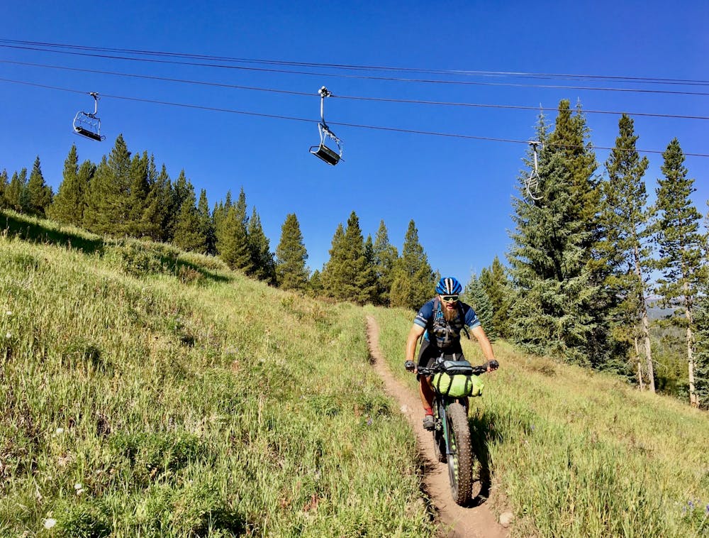
The true singletrack gem in the Breckenridge Bike Park.
Difficult Mountain Biking
6.1 km away
A flowy beginner trail running top-to-bottom in the Breckenridge Bike Park.
Easy Mountain Biking
6.1 km away
Another easy beginner trail, but unfortunately not quite as good as the Swinger Trail.
Easy Mountain Biking
6.1 km away
A slightly chunkier descent that still only ranks as an intermediate singletrack trail.
Moderate Mountain Biking
6.3 km away
A short but sweet scenic singletrack rip.
Difficult Mountain Biking
7.1 km away

A classic high-alpine shuttle run with beautiful views and fast, flowing singletrack.
Severe Mountain Biking
8.3 km away
An easy out-and-back gravel ride from downtown Breck to the top of Boreas Pass.
Easy Mountain Biking
8.7 km away

An excellent beginner loop through the complex Summit County trail system.
Easy Mountain Biking
9.3 km away
The most well-known mountain bike trail in Breckenridge.
Difficult Mountain Biking

26 routes · Mountain Biking

25 routes · Mountain Biking
9 routes · Mountain Biking
11 routes · Mountain Biking
5 routes · Mountain Biking