Dwight's
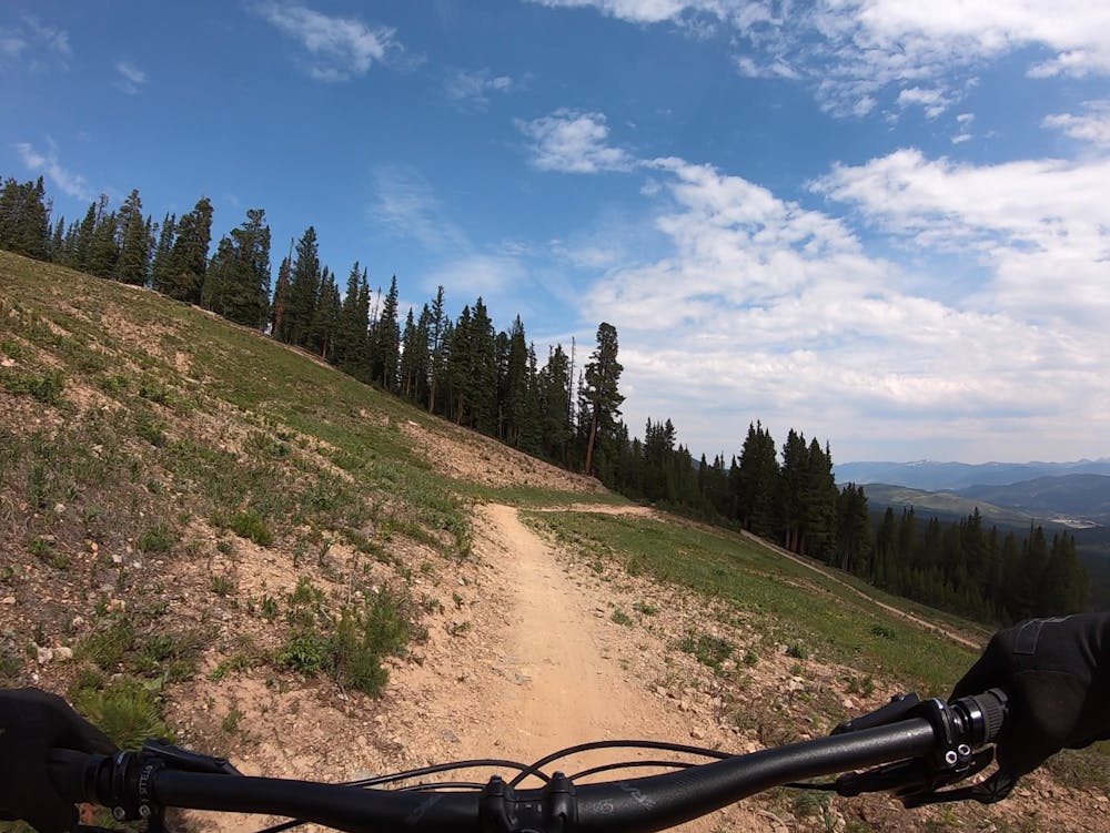
A slightly chunkier descent that still only ranks as an intermediate singletrack trail.
Moderate Mountain Biking
- Distance
- 3.8 km
- Ascent
- 0 m
- Descent
- 375 m
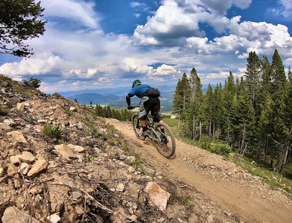
A flowy beginner trail running top-to-bottom in the Breckenridge Bike Park.
Mountain Biking Easy

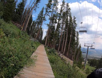
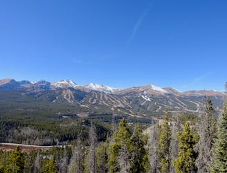
The Breckenridge Bike Park isn’t so much a “bike park” in the traditional sense of the term as it is a selection of lift-served cross country trails designed for tourists who may have never ridden a mountain bike before. In keeping with that mentality, Swinger Trail may just be the easiest lift-served singletrack trail you’ll ever ride.
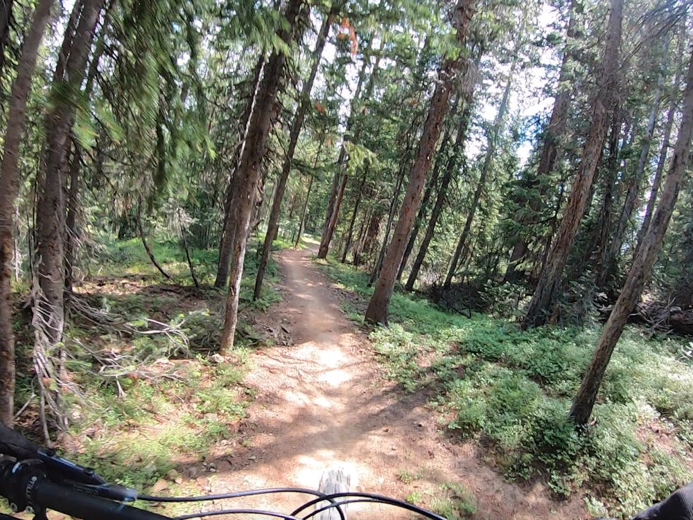
This flowy trail runs all the way from the top of the chairlift back to the base lodge, crisscrossing the mountainside as it slowly wends its way down the mountain. The trail tread is utterly smooth with no obstacles to cause issues as you descend. However, it is still a singletrack ride, so those unfamiliar with mountain biking do still need to be aware of loose sections of dirt, gravel, small rocks, and flat corners.
The trail grade is mellow the entire way down. In fact, it’s so mellow that most people will have to do a good bit of pedaling in some sections. Again, don’t think of Swinger as a beginner-level flow trail—think of it as a smooth XC trail that just happens to have a chairlift running to the top of it. Consequently, while a few of the turns are slightly banked, most of the corners on Swinger are quite flat. Bear this in mind if you come into the turns with speed.
While most of the trail crisscrosses the open ski runs, some sections do dive into the trees, providing delightful flow through the pines. These sections generally have better dirt, providing a welcome break from the dryer sections out in the sun.
If you’re looking for an easy entry into the sport of mountain biking, you can’t beat Swinger!
Easy
Mostly smooth and non-technical singletrack with unavoidable obstacles 2in/5cm tall or less. Avoidable obstacles may be present. Ideal for beginner riders.

The path is on completely flat land and potential injury is limited to falling over.
Close to help in case of emergency.
A slightly chunkier descent that still only ranks as an intermediate singletrack trail.
Moderate Mountain Biking
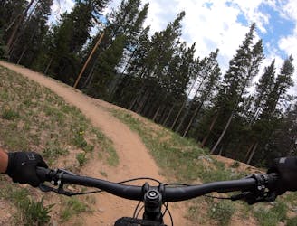
The true singletrack gem in the Breckenridge Bike Park.
Difficult Mountain Biking
Another easy beginner trail, but unfortunately not quite as good as the Swinger Trail.
Easy Mountain Biking
225 m away
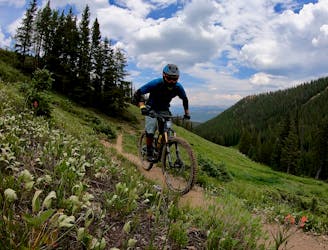
A short but sweet scenic singletrack rip.
Difficult Mountain Biking
3.5 km away

An easy out-and-back gravel ride from downtown Breck to the top of Boreas Pass.
Easy Mountain Biking
4.1 km away
A popular intermediate ride in the Breckenridge area combining both new school and old school singletrack.
Difficult Mountain Biking
4.6 km away

An excellent beginner loop through the complex Summit County trail system.
Easy Mountain Biking
6.1 km away
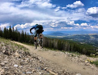
One of the best sections of high alpine singletrack in the state of Colorado!
Difficult Mountain Biking
6.1 km away
This brutal segment of the Colorado Trail is best enjoyed on a long-travel enduro bike.
Extreme Mountain Biking
8.3 km away
The most well-known mountain bike trail in Breckenridge.
Difficult Mountain Biking

26 routes · Mountain Biking

25 routes · Mountain Biking
9 routes · Mountain Biking
11 routes · Mountain Biking
5 routes · Mountain Biking