1.3 km away
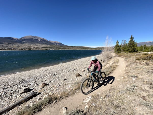
Flumes Loop

An excellent beginner loop through the complex Summit County trail system.
Easy Mountain Biking
- Distance
- 9.9 km
- Ascent
- 192 m
- Descent
- 192 m
An easy out-and-back gravel ride from downtown Breck to the top of Boreas Pass.
Mountain Biking Easy

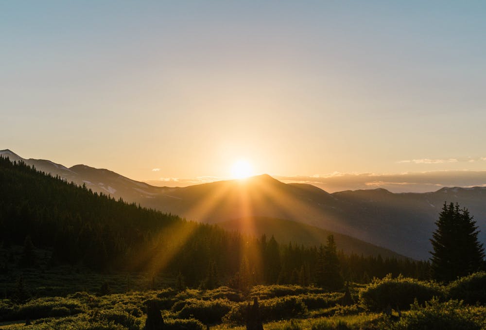
Boreas Pass Road is a graded two-wheel-drive dirt road that travels over (you guessed it) 11,500-foot Boreas Pass to connect Breckenridge and Como, Colorado.
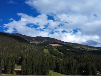
Beginning from Breckenridge, take Boreas Pass Road south of town until the pavement ends and a gate marks the boundary of the national forest. Beautiful aspen groves are the first major attraction, especially when the leaves change in fall. From clearings, which are plentiful, you’ll get great views over your shoulder of Breckenridge Ski Resort and of the high peaks all around. Mt. Argentine is the treed summit just across the valley to the west, and Bald Mountain is the steep-sided giant that towers directly overhead.
Boreas Pass is notable as one of the few graded and well-maintained two-wheel-drive roads in Colorado that climb up and over a major alpine pass. In general, most other high alpine passes are either gnarly 4x4 roads, or are paved. Consequently, Boreas Pass is a gravel biker’s paradise!
This pass used to be a major mining corridor with a railroad through it. Along the ride you can find remnants of the mine towns and the railroad machinery, most notably Baker’s Tank. Some of the sites are marked but others are not, so keep your eyes peeled. Also watch for wildlife like deer, elk, and mountain goats.
The top of the pass comes at about 6.5 miles from the start of the dirt road. From here, practically at the treeline, views are grand in all directions. The route mapped here returns the way it came to downtown Breckenridge. More adventurous riders have the option to drop all the down into the town of Como, or even create a loop using Georgia Pass (mapped separately).
Easy
Mostly smooth and non-technical singletrack with unavoidable obstacles 2in/5cm tall or less. Avoidable obstacles may be present. Ideal for beginner riders.

The path is on completely flat land and potential injury is limited to falling over.

Away from help but easily accessed.
1.3 km away
An excellent beginner loop through the complex Summit County trail system.
Easy Mountain Biking
1.6 km away
A popular intermediate ride in the Breckenridge area combining both new school and old school singletrack.
Difficult Mountain Biking
3.3 km away
A short but sweet scenic singletrack rip.
Difficult Mountain Biking
3.5 km away
A flowy beginner trail running top-to-bottom in the Breckenridge Bike Park.
Easy Mountain Biking
3.5 km away
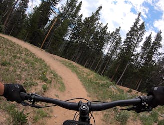
The true singletrack gem in the Breckenridge Bike Park.
Difficult Mountain Biking
3.5 km away
Another easy beginner trail, but unfortunately not quite as good as the Swinger Trail.
Easy Mountain Biking
3.5 km away
A slightly chunkier descent that still only ranks as an intermediate singletrack trail.
Moderate Mountain Biking
6 km away
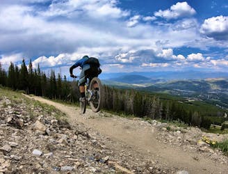
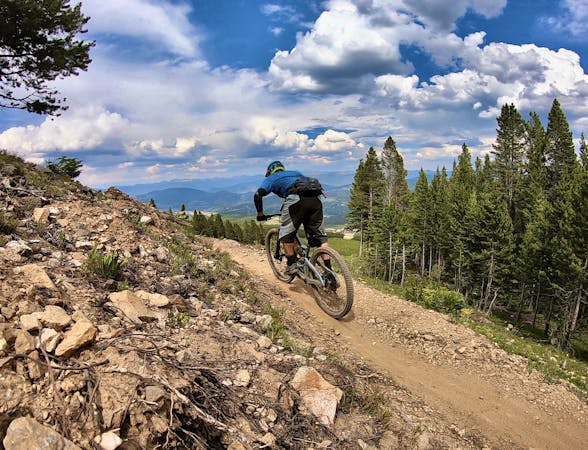
The most well-known mountain bike trail in Breckenridge.
Difficult Mountain Biking
6 km away
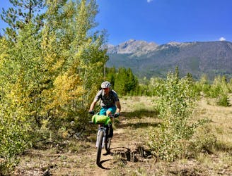
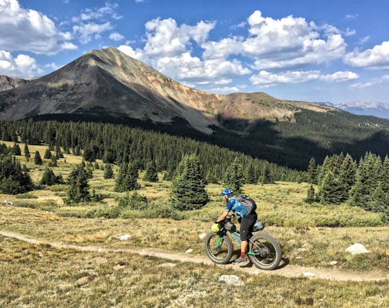
Many Colorado Trail bikepackers opt to bypass around the ultra-steep Ten Mile Range using this route.
Easy Mountain Biking
8.3 km away
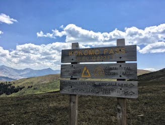
One of the best sections of high alpine singletrack in the state of Colorado!
Difficult Mountain Biking

26 routes · Mountain Biking

25 routes · Mountain Biking
9 routes · Mountain Biking
11 routes · Mountain Biking
5 routes · Mountain Biking