0 m away
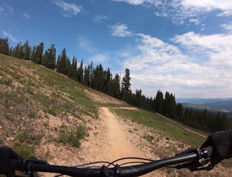
Peaks Trail Loop
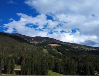
The most well-known mountain bike trail in Breckenridge.
Difficult Mountain Biking
- Distance
- 25 km
- Ascent
- 523 m
- Descent
- 523 m
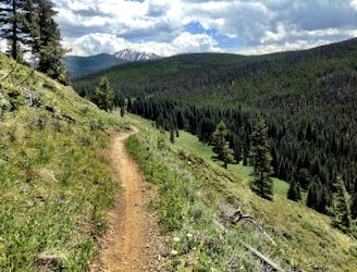
Many Colorado Trail bikepackers opt to bypass around the ultra-steep Ten Mile Range using this route.
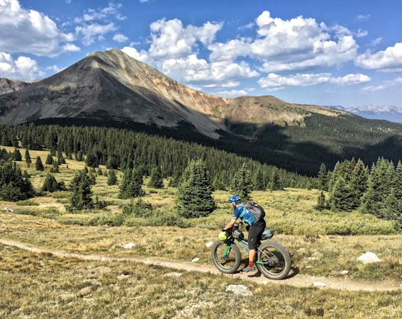
Mountain Biking Easy

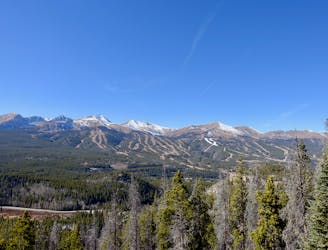
The Colorado Trail (COT) is widely regarded as one of the very best long distance mountain bike trails in the world. Running for 535 miles between Denver and Durango, the trail crosses high alpine mountain passes and drops into beautiful valleys as it traverses the most beautiful portions of the state of Colorado. The COT forms one third of the Triple Crown of Bikepacking, along with the Arizona Trail and the Great Divide Mountain Bike Route. The problem for bikepackers is that the Colorado Trail wasn’t originally built with bike travel in mind. Sure, plenty of sections are absolutely incredible on the mountain bike… but others, especially on a fully-loaded bikepacking rig, are notoriously brutal. The Miner’s Creek/Wheeler section of the trail is one such ultra-brutal section.
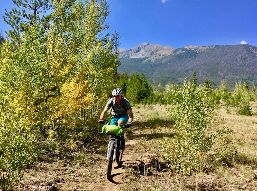
Instead of hike-a-biking straight up the Ten Mile mountain range and then being faced with the possibility of having to hike-a-bike DOWNHILL on ultra-technical singletrack, many bikepackers choose to bypass around the Ten Mile range between Breckenridge and Copper. Conveniently, a paved bike path provides a very pleasant connection, keeping riders off of the highway.
By itself, this bike path is a very popular road biking route, so as a bypass option for bikepackers it is very pleasant indeed. Sure, you’re not on singletrack, but at least you’re riding your bike instead of hiking! If pedaling from Breckenridge to Copper, this route demands a respectable climb up the bike path. If traveling the opposite direction, it’s a high-speed downhill coast.
Easy
Mostly smooth and non-technical singletrack with unavoidable obstacles 2in/5cm tall or less. Avoidable obstacles may be present. Ideal for beginner riders.

The trail contains some obstacles such as outcroppings and rock which could cause injury.

Close to help in case of emergency.
0 m away
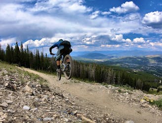
The most well-known mountain bike trail in Breckenridge.
Difficult Mountain Biking
4.8 km away
A masterfully-built downhill flow trail.
Difficult Mountain Biking
4.9 km away

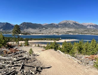
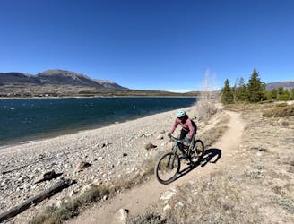
An excellent beginner loop through the complex Summit County trail system.
Easy Mountain Biking
5.1 km away
Superb early season pedaling on beginner-friendly singletrack.
Easy Mountain Biking
6 km away
An easy out-and-back gravel ride from downtown Breck to the top of Boreas Pass.
Easy Mountain Biking
7.3 km away
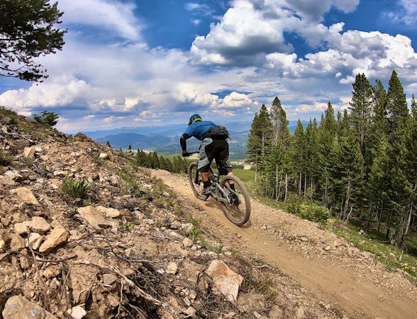
A popular intermediate ride in the Breckenridge area combining both new school and old school singletrack.
Difficult Mountain Biking
7.6 km away
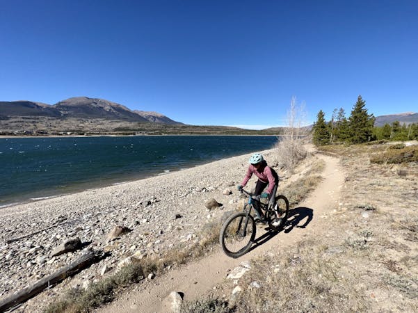
A gorgeous cross country ride around a beautiful valley.
Easy Mountain Biking
7.7 km away
As smooth and flat of a beginner mountain bike loop as you'll find just about anywhere in Colorado.
Easy Mountain Biking
8.3 km away
A flowy beginner trail running top-to-bottom in the Breckenridge Bike Park.
Easy Mountain Biking
8.3 km away
The true singletrack gem in the Breckenridge Bike Park.
Difficult Mountain Biking

26 routes · Mountain Biking
9 routes · Mountain Biking
11 routes · Mountain Biking
5 routes · Mountain Biking