1.3 km away
Boreas Pass Out-and-Back
An easy out-and-back gravel ride from downtown Breck to the top of Boreas Pass.
Easy Mountain Biking
- Distance
- 32 km
- Ascent
- 662 m
- Descent
- 662 m
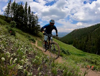
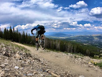
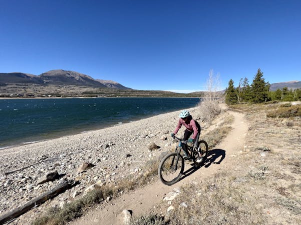
An excellent beginner loop through the complex Summit County trail system.
Mountain Biking Easy

The trail system in Summit County is so intricate and tightly wound that if you just pull out a map and start looking at it, it can be difficult to ascertain how the trails work together to create logical loops and routes. If you’re trying to find a beginner-friendly route through the maze of singletrack, look no further than this easy loop on the Flume Trails!
The Flumes Loop in Summit County is comprised of three distinct trail segments: Upper, Middle, and Lower Flume. These three trails follow the course of old water flumes that were used to direct water throughout the area. The trails occasionally dip in and out of the old flumes or cross the narrow trenches with the use of short bridges.
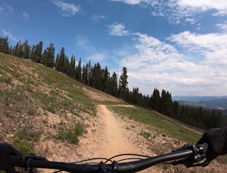
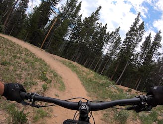
Overall the singletrack on the Flumes Loop is flowy and smooth—perfect for beginner mountain bikers! You’ll still encounter the occasional rock or root to remind you that yes, you’re still mountain biking. A few sections of trails do follow narrow benches that require attention to navigate, but the fall danger is minimal.
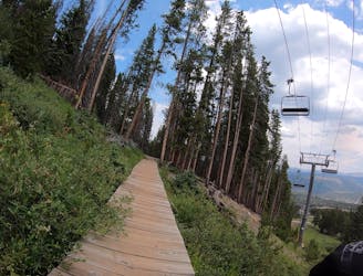
In recent years the trails have seen several improvement projects, including the installation of low wooden bridges over low-lying wet spots. These projects help keep the trails from eroding and your bike clean from mud.
The route mapped here has just 630 feet of climbing over its 6.2-mile length, making it one of the flattest and easiest trails in the region.
Easy
Mostly smooth and non-technical singletrack with unavoidable obstacles 2in/5cm tall or less. Avoidable obstacles may be present. Ideal for beginner riders.

The path is on completely flat land and potential injury is limited to falling over.
Close to help in case of emergency.
1.3 km away
An easy out-and-back gravel ride from downtown Breck to the top of Boreas Pass.
Easy Mountain Biking
2.4 km away
A popular intermediate ride in the Breckenridge area combining both new school and old school singletrack.
Difficult Mountain Biking
4.5 km away
A short but sweet scenic singletrack rip.
Difficult Mountain Biking
4.6 km away
A slightly chunkier descent that still only ranks as an intermediate singletrack trail.
Moderate Mountain Biking
4.6 km away
The true singletrack gem in the Breckenridge Bike Park.
Difficult Mountain Biking
4.6 km away
A flowy beginner trail running top-to-bottom in the Breckenridge Bike Park.
Easy Mountain Biking
4.6 km away
Another easy beginner trail, but unfortunately not quite as good as the Swinger Trail.
Easy Mountain Biking
4.9 km away
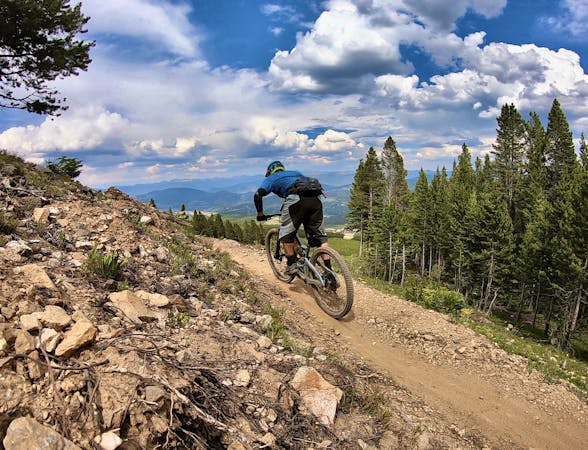
The most well-known mountain bike trail in Breckenridge.
Difficult Mountain Biking
4.9 km away
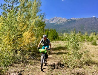
Many Colorado Trail bikepackers opt to bypass around the ultra-steep Ten Mile Range using this route.
Easy Mountain Biking
8.7 km away
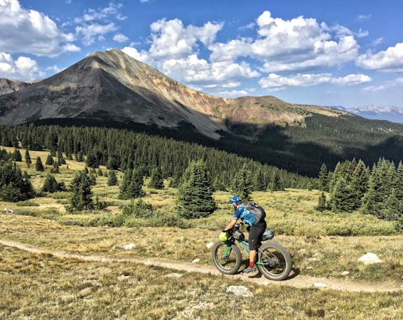
One of the best sections of high alpine singletrack in the state of Colorado!
Difficult Mountain Biking

26 routes · Mountain Biking

25 routes · Mountain Biking
9 routes · Mountain Biking
11 routes · Mountain Biking
5 routes · Mountain Biking