225 m away
Dwight's
A slightly chunkier descent that still only ranks as an intermediate singletrack trail.
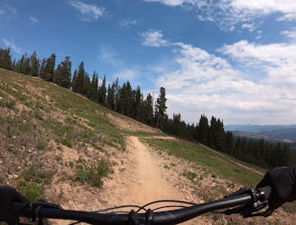
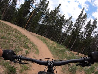
Moderate Mountain Biking
- Distance
- 3.8 km
- Ascent
- 0 m
- Descent
- 375 m
A short but sweet scenic singletrack rip.
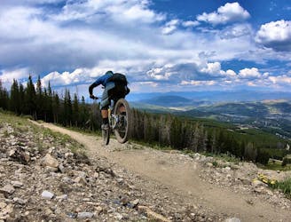
Mountain Biking Difficult

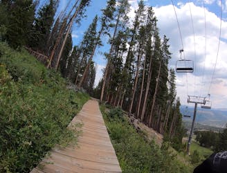
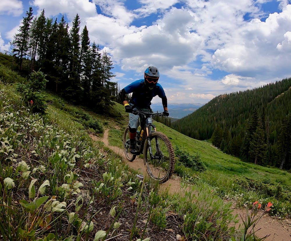
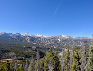
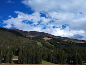
Frosty’s Challenge drops into an obscure little valley far to skier’s right of the Breckenridge Bike Park chairlift, but this short trail is a sweet little gem!
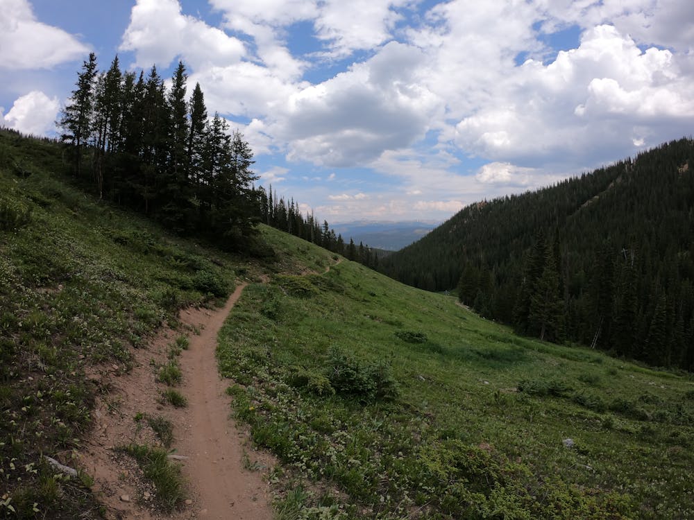
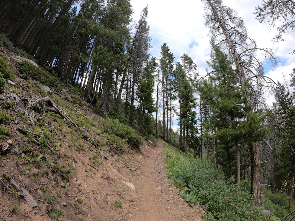
As soon as you begin to drop in the valley, sweeping views of this gorgeous mountain valley and distant peaks beyond will beg you to stop and soak in the mountain majesty. Since you’ve traversed a ways from the chairlift to get here, gone are the sounds of the lift and the tourists, and suddenly you’ll feel isolated and (almost) out in the middle of nowhere.
The trail drops somewhat steeply down into this little valley, providing a brief, entertaining high-speed rip down relatively narrow singletrack. While this trail isn’t very difficult by any stretch of the imagination, compared to the ultra-easy trails found in the rest of the Breckenridge Bike Park, it’s a touch more difficult.
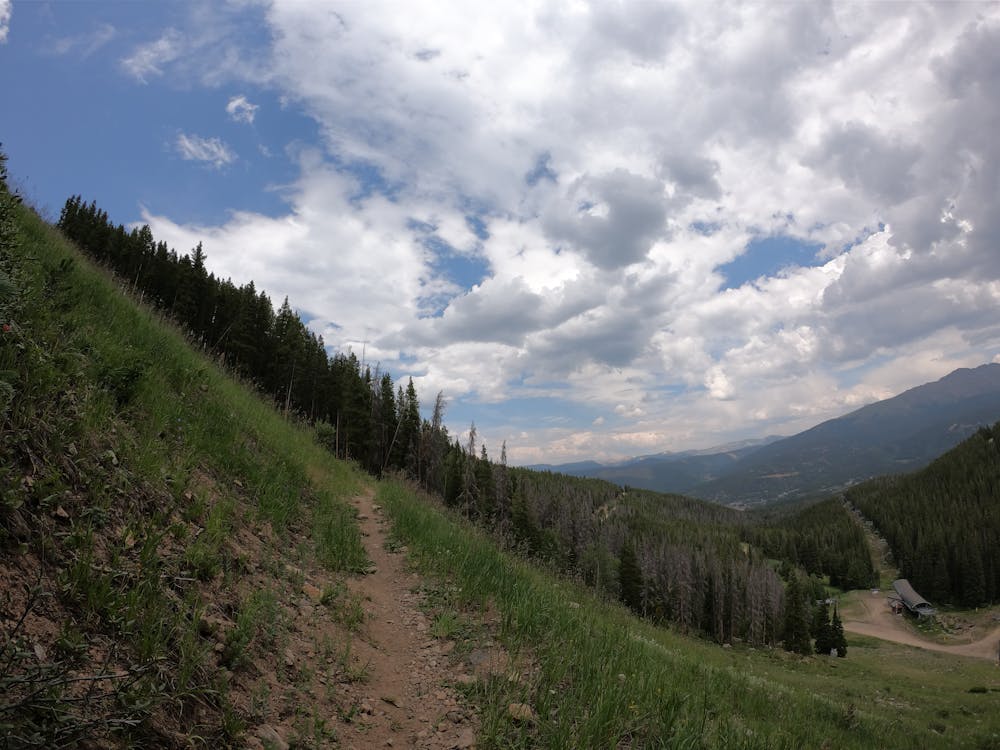
Once you drop out into the valley bottom, you have a couple of choices. The route mapped here climbs back out of the valley on the Wanderer trail. This route requires a good bit of pedaling to exit the valley, but it gets you back to the lift quickly. If you choose to descend down the valley and pick up one of the other singletrack trails, you’ll end up dropping down well away from the chairlift, and will have to find your way back to the base village in a different way.
Consequently, Frosty’s might not make for a great repeat option during your day in the Breckenridge Bike Park, but it’s well-worth checking out at least once.
Difficult
Mostly stable trail tread with some variability featuring larger and more unavoidable obstacles that may include, but not be limited to: bigger stones, roots, steps, and narrow curves. Compared to lower intermediate, technical difficulty is more advanced and grades of slopes are steeper. Ideal for upper intermediate riders.

The path is on completely flat land and potential injury is limited to falling over.
Close to help in case of emergency.
225 m away
A slightly chunkier descent that still only ranks as an intermediate singletrack trail.
Moderate Mountain Biking
225 m away
The true singletrack gem in the Breckenridge Bike Park.
Difficult Mountain Biking
225 m away
A flowy beginner trail running top-to-bottom in the Breckenridge Bike Park.
Easy Mountain Biking
225 m away
Another easy beginner trail, but unfortunately not quite as good as the Swinger Trail.
Easy Mountain Biking
3.3 km away
An easy out-and-back gravel ride from downtown Breck to the top of Boreas Pass.
Easy Mountain Biking
3.9 km away
A popular intermediate ride in the Breckenridge area combining both new school and old school singletrack.
Difficult Mountain Biking
4.5 km away

An excellent beginner loop through the complex Summit County trail system.
Easy Mountain Biking
6.3 km away
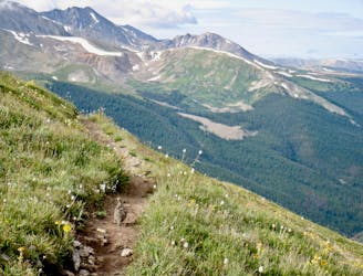
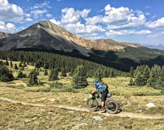
One of the best sections of high alpine singletrack in the state of Colorado!
Difficult Mountain Biking
6.3 km away
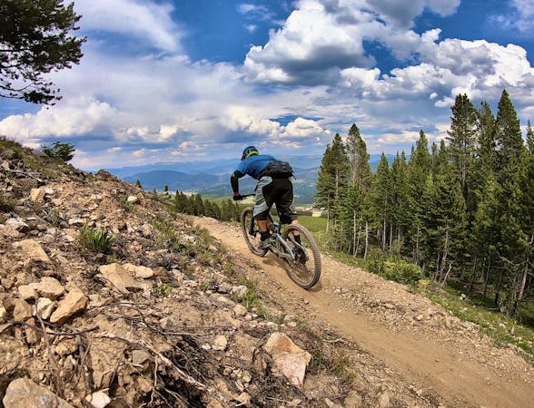
This brutal segment of the Colorado Trail is best enjoyed on a long-travel enduro bike.
Extreme Mountain Biking
8.3 km away
The most well-known mountain bike trail in Breckenridge.
Difficult Mountain Biking

26 routes · Mountain Biking

25 routes · Mountain Biking
9 routes · Mountain Biking
11 routes · Mountain Biking
5 routes · Mountain Biking