3 m away
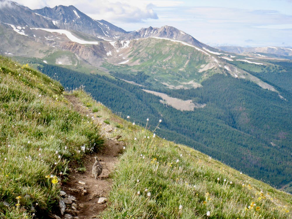
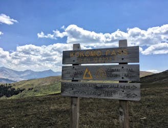
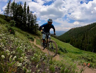
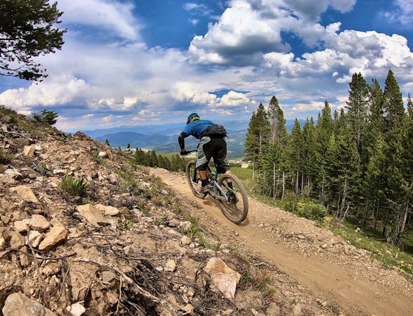
Colorado Trail: Searle Pass and Kokomo Pass
One of the best sections of high alpine singletrack in the state of Colorado!
Difficult Mountain Biking
- Distance
- 28 km
- Ascent
- 938 m
- Descent
- 1 km
This brutal segment of the Colorado Trail is best enjoyed on a long-travel enduro bike.
Mountain Biking Extreme

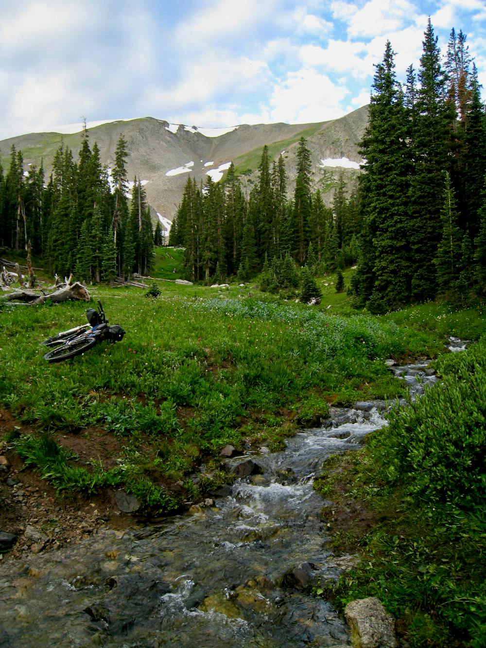
The Colorado Trail (COT) is widely regarded as one of the very best long distance mountain bike trails in the world. Running for 535 miles between Denver and Durango, the trail crosses high alpine mountain passes and drops into beautiful valleys as it traverses the most beautiful portions of the state of Colorado. The COT forms one third of the Triple Crown of Bikepacking, along with the Arizona Trail and the Great Divide Mountain Bike Route. The problem for bikepackers is that the Colorado Trail wasn’t originally built with bike travel in mind. Sure, plenty of sections are absolutely incredible on a mountain bike… but others, especially on a fully-loaded bikepacking rig, are notoriously brutal. The Miner’s Creek/Wheeler section of the trail is one such ultra-brutal section.
However, if you’re on an enduro bike and are looking for a high country day ride with a raucous descent back down the mountain, Miner’s Creek is a tantalizing prospect. Consequently, the route mapped here is routed in the opposite direction of other Colorado Trail Segments (Durango->Denver instead of Denver->Durango) as it works much better for a day ride in this direction. But of course, bikepackers do complete the Colorado Trail in both directions.
If you do brave this segment either during a thru-ride or on a day ride, the climb from Copper up to the top of the Ten Mile Range is ultra-steep, climbing straight up the mountainside through a series of switchbacks.
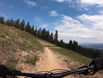
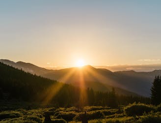
The trail tops out above treeline with absolutely unreal views in all directions. But when it’s time to go back down, hang on for dear life!
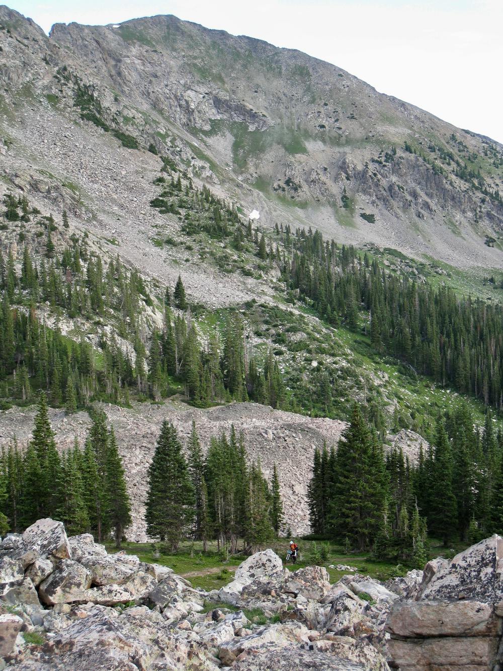
The descent down Miner’s Creek is chunky and gnarly the entire way. While there are a few large obstacles, most of the technicality of this trail arrises from the unrelenting character of the gnar. There’s no time to catch your breath—it’s chunk all the time. Rocks upon rocks while riding high above treeline transition into a combination of rocks and muddy root webs once back into the trees.
While brutally demanding on a hardtail bikepacking rig, on an enduro bike this route is to die for!
Extreme
Very steep, difficult, narrow singletrack with widely variable and unpredictable trail conditions. Unavoidable obstacles could be 15in/38cm tall or greater, and unavoidable obstacles with serious consequences are likely to be present. Obstacles could include big rocks, difficult root sections, drops, jumps, sharp switchbacks, and more. Ideal for expert-level riders.

The trail contains some obstacles such as outcroppings and rock which could cause injury.

In the high mountains or remote conditions, all individuals must be completely autonomous in every situation.
3 m away
One of the best sections of high alpine singletrack in the state of Colorado!
Difficult Mountain Biking
6.1 km away
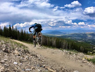
The true singletrack gem in the Breckenridge Bike Park.
Difficult Mountain Biking
6.1 km away
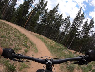
A slightly chunkier descent that still only ranks as an intermediate singletrack trail.
Moderate Mountain Biking
6.1 km away
Another easy beginner trail, but unfortunately not quite as good as the Swinger Trail.
Easy Mountain Biking
6.1 km away
A flowy beginner trail running top-to-bottom in the Breckenridge Bike Park.
Easy Mountain Biking
6.3 km away
A short but sweet scenic singletrack rip.
Difficult Mountain Biking
7.1 km away

A classic high-alpine shuttle run with beautiful views and fast, flowing singletrack.
Severe Mountain Biking
8.3 km away
An easy out-and-back gravel ride from downtown Breck to the top of Boreas Pass.
Easy Mountain Biking
8.7 km away

An excellent beginner loop through the complex Summit County trail system.
Easy Mountain Biking
9.3 km away
The most well-known mountain bike trail in Breckenridge.
Difficult Mountain Biking

26 routes · Mountain Biking

25 routes · Mountain Biking
9 routes · Mountain Biking
11 routes · Mountain Biking
5 routes · Mountain Biking