712 m away
Pinhoti 3 Loop

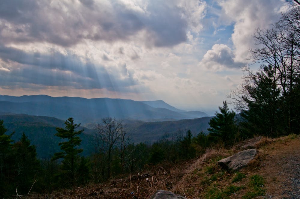
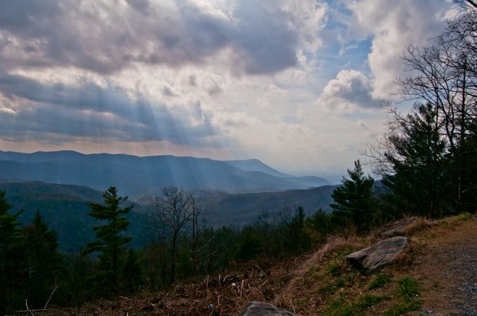
A short, twisty singletrack descent beginning at a beautiful vista.
Moderate Mountain Biking
- Distance
- 15 km
- Ascent
- 469 m
- Descent
- 469 m
An epic ride on some of the best singletrack North Georgia has to offer.
Mountain Biking Difficult

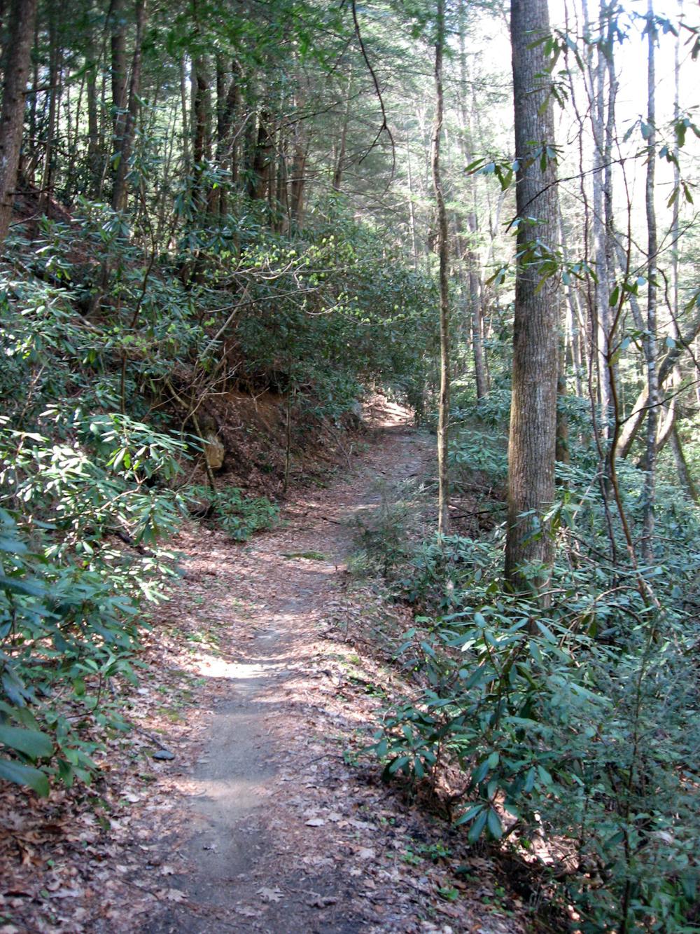
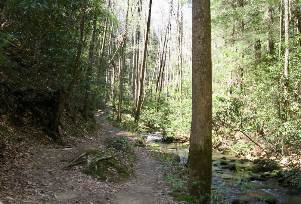
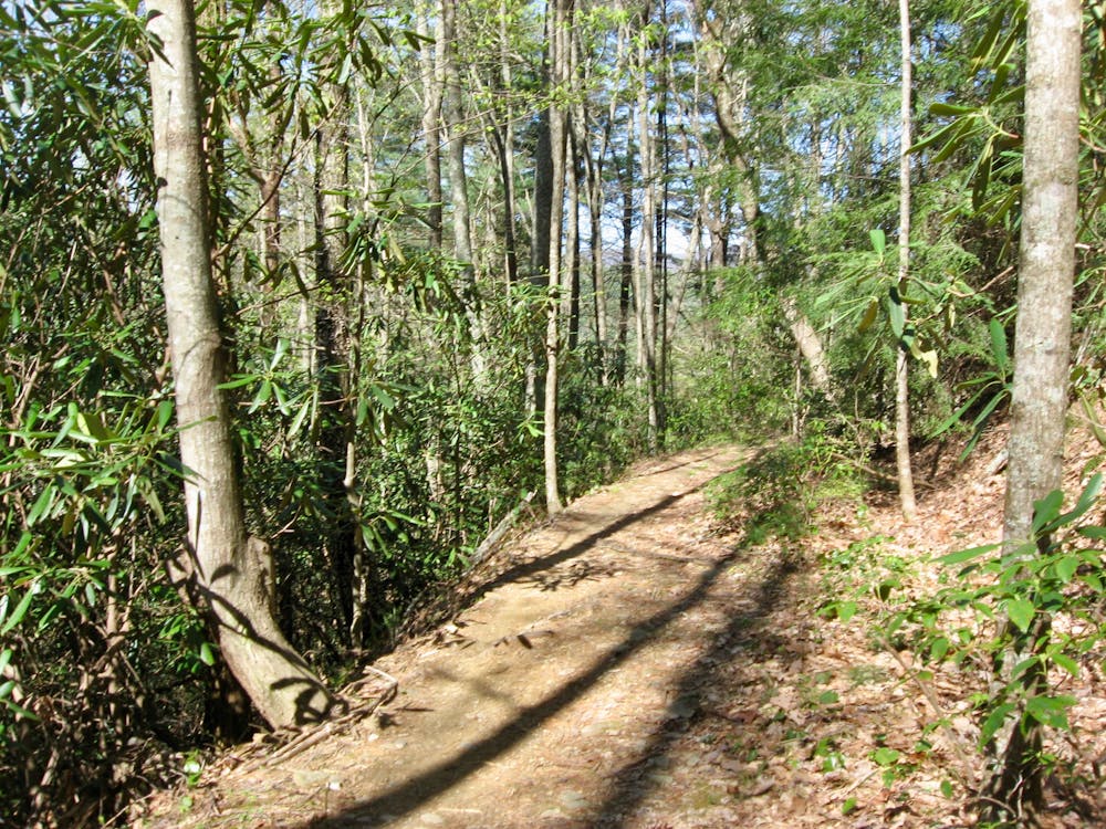
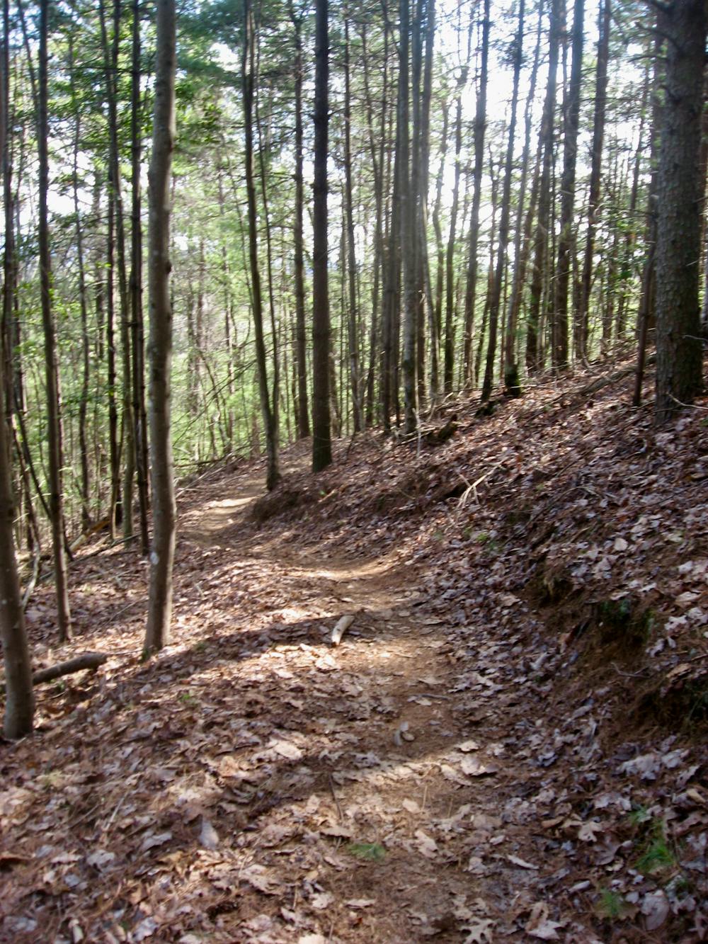
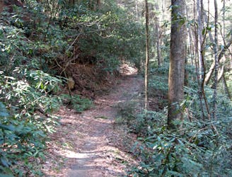
Bear Creek is one of the original, iconic North Georgia mountain bike rides. This old school singletrack trail meanders along the banks of a rushing mountain stream beneath a deep forest canopy.
If riding Bear Creek alone isn’t enough, adding in the Pinhoti 1 and 2 sections (known as P1 and P2) will turn this ride into a much longer and more epic adventure in the North Georgia mountains.
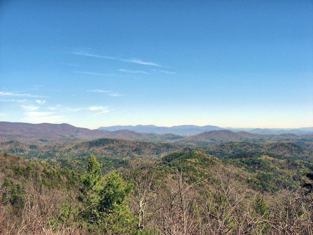
After grinding up Potato Patch Road from Mulberry Gap, the ride starts getting fun at the top of the Bear Creek descent. The rock gardens, roots, and baby heads on Bear Creek aren’t too difficult at slow speeds, but the obstacles progressively harder as your rate of descending increases.
Along with the chunk are numerous water bars for drainage, which provide excellent opportunities for catching some serious air! Ride heads up for other trail users and oncoming trail traffic, but if you have the singletrack all to yourself, this all-out downhill rip is a shot of adrenaline to the veins!
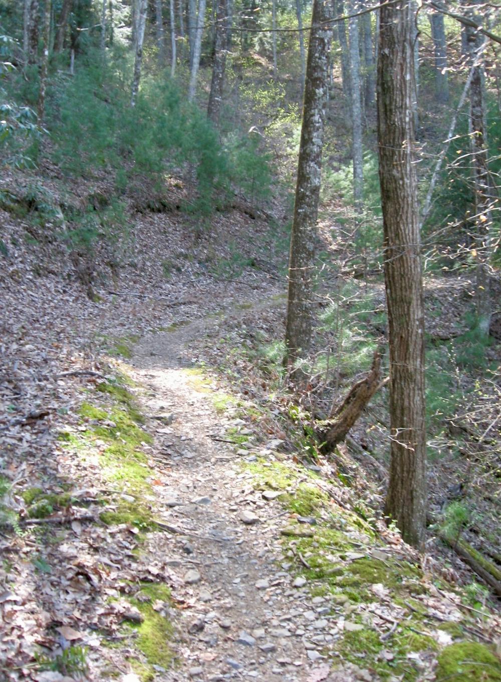
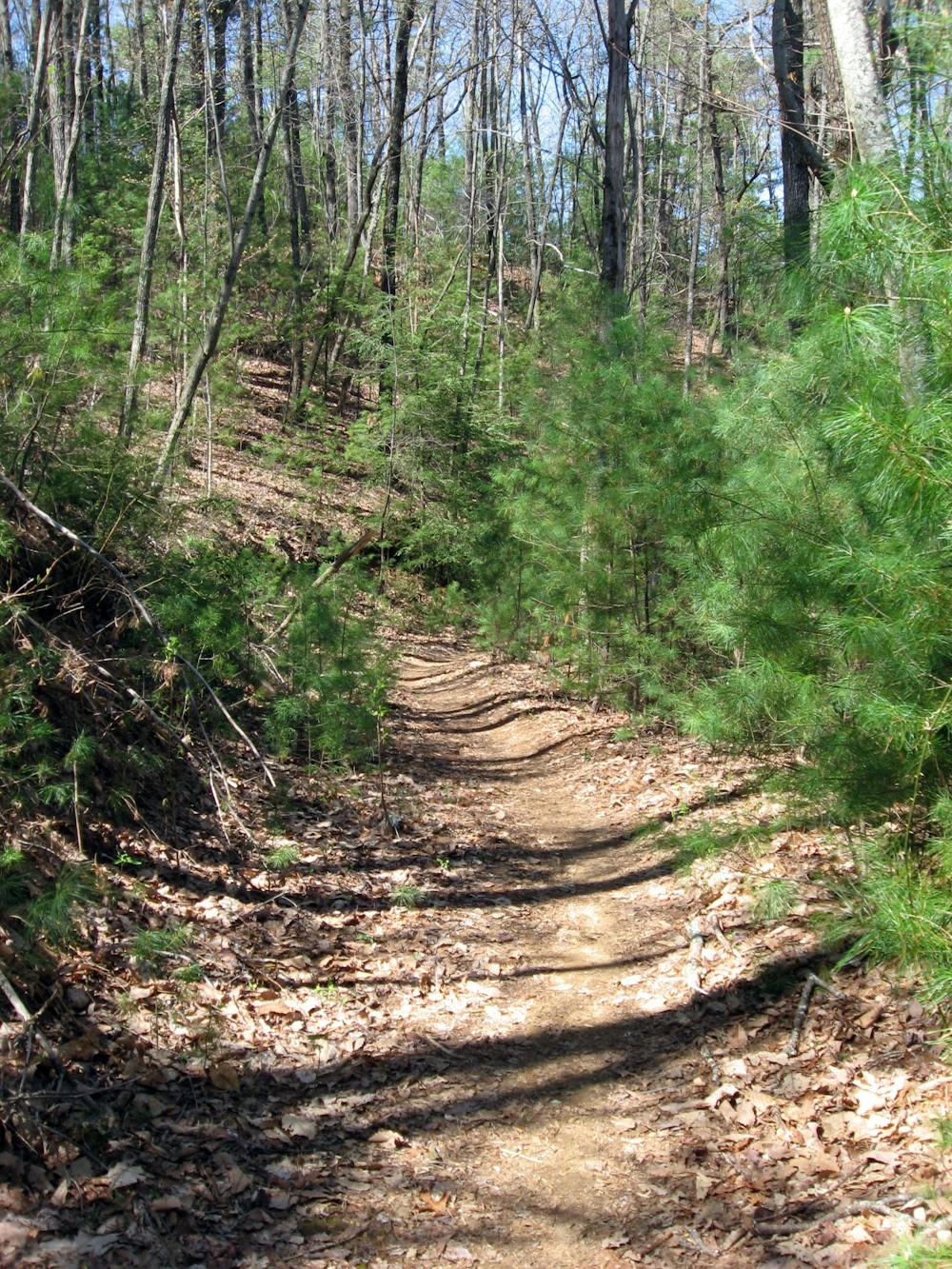
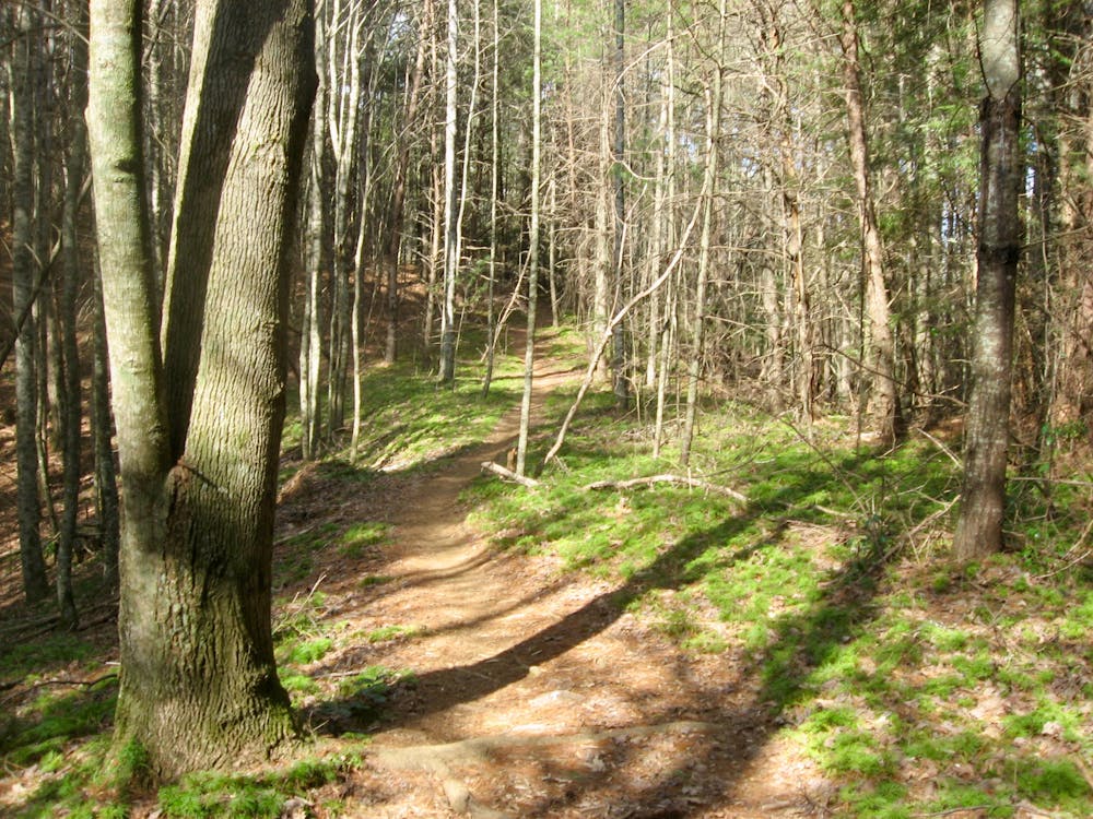
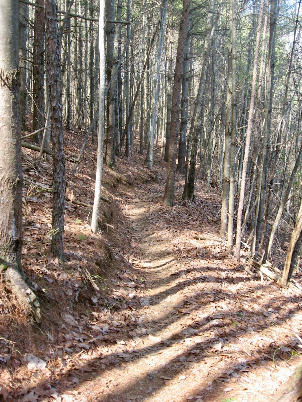
Before finishing the entire Bear Creek trail, look for the right turn onto the Pinhoti Trail. The Pinhoti has been around for some time but isn’t quite as old school as Bear Creek, meaning the singletrack here is generally narrower and better-built, making for absolutely superb mountain biking! The descents are flowy and smooth overall on well-benched trails.
Advanced riders can descend the Pinhoti trail at vision-blurring speeds—just stay alert for regular sharp switchbacks (which obviously weren’t built with mountain bikers in mind) and other trails users.
Once back at Mulberry Gap Mountain Bike Getaway, be sure to enjoy one of their delicious home cooked meals and a cold brew as you reflect on your epic North Georgia mountain bike excursion!
Difficult
Mostly stable trail tread with some variability featuring larger and more unavoidable obstacles that may include, but not be limited to: bigger stones, roots, steps, and narrow curves. Compared to lower intermediate, technical difficulty is more advanced and grades of slopes are steeper. Ideal for upper intermediate riders.

The trail contains some obstacles such as outcroppings and rock which could cause injury.

Little chance of being seen or helped in case of an accident.
712 m away
A short, twisty singletrack descent beginning at a beautiful vista.
Moderate Mountain Biking
4.3 km away

One of North Georgia's longest, gnarliest, and most remote singletrack descents.
Severe Mountain Biking
4.3 km away
A classic North Georgia singletrack ride along a rushing mountain stream.
Difficult Mountain Biking
7 km away

A technical, remote shuttle in the Cohutta Mountains.
Severe Mountain Biking
8 km away

An epic descent on a gnarly moto trail.
Severe Mountain Biking
9.3 km away
A classic mountain bike loop through Fort Mountain State Park with plenty of views, challenging terrain, and plenty of history.
Moderate Mountain Biking
8 routes · Mountain Biking

24 routes · Mountain Biking