1.6 km away
Glenwood Dunes Trail
An extensive network of trail with several options for shorter or longer hikes.
Moderate Hiking
- Distance
- 11 km
- Ascent
- 65 m
- Descent
- 65 m
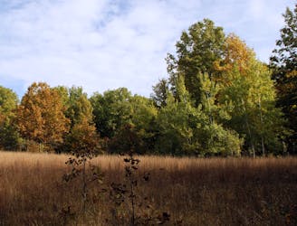
An easy and fully-accessible hike through a series of dune ridges.
Hiking Easy

The Calumet Dunes Trail is one of the easiest short hikes in Indiana Dunes National Park. According to the park, "the lake has slowly receded over time, forming three major parallel dune ridges: Glenwood (640' above sea level), Calumet (620' above sea level) and Tolleston (605' above sea level)." This hike wanders through these dunes and offers several trailside benches to relax and enjoy the view.
Minus one brief stretch of boardwalk, this entire hike is paved and fully-accessible for wheelchairs and strollers. Bicycles, however, are strictly prohibited. Leashed pets are allowed on most of the loop, but not on the equestrian portion of Glenwood Dunes Trail. There are year-round restrooms and water available, and no park fee is required.
The trailhead for this brief hike is at the USGS Lake Michigan Ecological Research Station, the former home of the main visitor center for the park. The park notes the building's unique history - serving as a Presbyterian Church between 1960 and 1970 before it was purchased by the National Park Service in 1971. Until 2006, the building still served as the main visitor center before being permanently relocated to State Road 49.
Easy
Walking along a well-kept trail that’s mostly flat. No obstacles are present.

The path is on completely flat land and potential injury is limited to falling over.
Close to help in case of emergency.
1.6 km away
An extensive network of trail with several options for shorter or longer hikes.
Moderate Hiking
1.7 km away
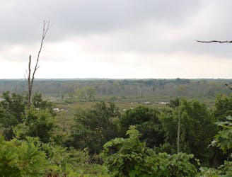
A short hike with expansive views of the Great Marsh.
Easy Hiking
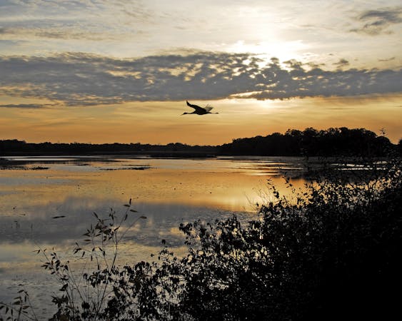
2.4 km away

A short hike great for birdwatching in "the largest wetland complex in the Lake Michigan watershed."
Easy Hiking
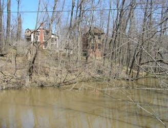
3.2 km away
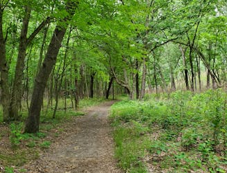
A relaxing hike through a marsh noted for its long boardwalk, ferns, and early spring wildflowers.
Easy Hiking
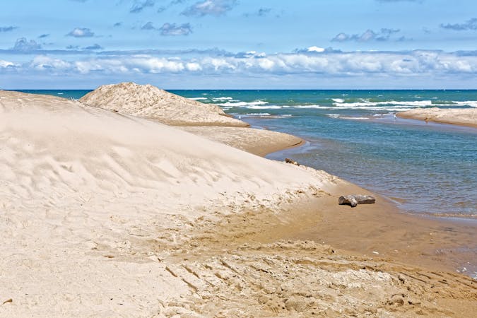
4.4 km away

Hike through quiet, serene forests, then follow sand dunes along Lake Michigan back to the trailhead.
Moderate Hiking
6.7 km away
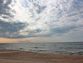
A moderate hike with "outstanding plant diversity" and the option to enjoy lunch of the shores of Lake Michigan.
Moderate Hiking
7.8 km away
An easy hike exploring the restored Mnoké Prairie, Bailly Homestead, and Chellberg Farm.
Moderate Hiking
10 routes · Hiking
4 routes · Hiking