2.3 km away
Cowles Bog Trail
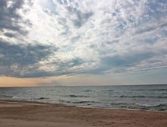
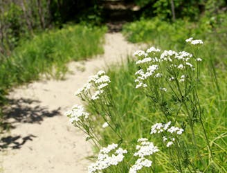
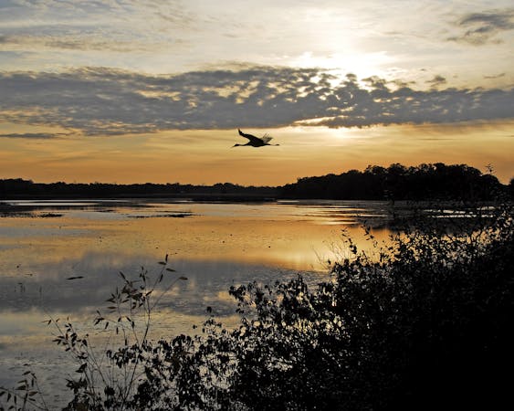
A moderate hike with "outstanding plant diversity" and the option to enjoy lunch of the shores of Lake Michigan.
Moderate Hiking
- Distance
- 6.7 km
- Ascent
- 86 m
- Descent
- 86 m
An easy hike exploring the restored Mnoké Prairie, Bailly Homestead, and Chellberg Farm.
Hiking Moderate

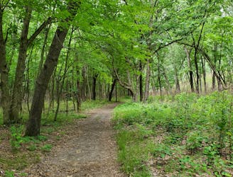
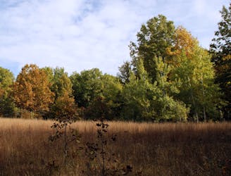
This hiking-only trail system "reveals the rich natural diversity that has drawn people to this area for over 10,000 years," according to the NPS. Easy-to-moderate in difficulty, this hike takes a couple of hours to complete and offers stops at the historic Bailly Homestead, Chellberg Farm, and Mnoké Prairie. Most of the hike winds along a well-maintained trail through hardwood forests "dominated by maple, beech, basswood, and oak," while a scenic boardwalk leads visitors through wet bottomlands.
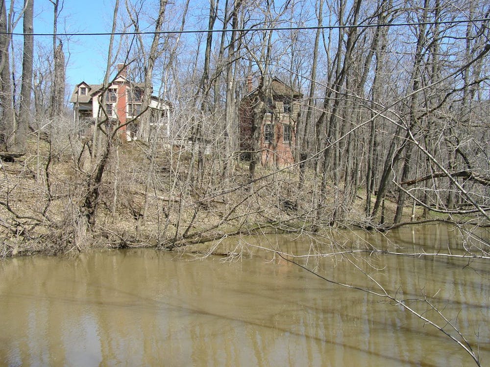
A National Historic Landmark, the Bailly Homestead "played a role in the development of the Calumet Region of northern Indiana" in the early 1800s. Built by Joseph Bailly, "an independent trader in the extensive fur-trading network that spread from Montreal to Louisiana," the site served as an important stop for travelers and was noted particularly for its "vernacular architectural features and construction types." Source
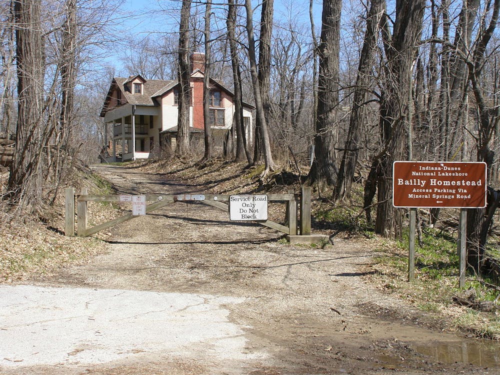
The trailhead for this hike is located off Mineral Springs Road in Porter, IN. Potable water and restrooms are available year-round, and the parking lot is open daily from 6:00 am to 11:00 pm. No fee is required for this hike and the parking lot is suitable for larger vehicles, including busses. Leashed and well-behaved pets are also allowed. The now-abandoned Dune Acres Station to the north also offers access to this loop via the Brickyard Trail.
For a shorter 1.1-mile hike, follow the Bailly/Chellberg (Inner) Loop instead. This easy stroll shouldn't take more than 45 minutes and begins/ends at the same trailhead.
Sources: https://www.nps.gov/indu/planyourvisit/bc16.htm https://www.indianadunes.com/things-to-do/outdoor-adventures/little-calumet-river-trail/
Moderate
Hiking along trails with some uneven terrain and small hills. Small rocks and roots may be present.

The path is on completely flat land and potential injury is limited to falling over.
Close to help in case of emergency.
2.3 km away
A moderate hike with "outstanding plant diversity" and the option to enjoy lunch of the shores of Lake Michigan.
Moderate Hiking
4.6 km away

Hike through quiet, serene forests, then follow sand dunes along Lake Michigan back to the trailhead.
Moderate Hiking
5 km away
A relaxing hike through a marsh noted for its long boardwalk, ferns, and early spring wildflowers.
Easy Hiking
6.7 km away
An extensive network of trail with several options for shorter or longer hikes.
Moderate Hiking
7.8 km away

An easy and fully-accessible hike through a series of dune ridges.
Easy Hiking
8.7 km away
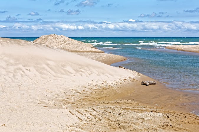
A moderate 3-mile hike that wanders through "4,700 year-old sand dunes that were formed when Lake Michigan's water level was 25 feet higher than today."
Moderate Hiking
8.9 km away
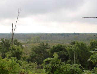
A short hike with expansive views of the Great Marsh.
Easy Hiking
10 routes · Hiking
4 routes · Hiking