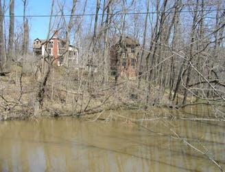
1.6 km away
Calumet Dunes Trail

An easy and fully-accessible hike through a series of dune ridges.
Easy Hiking
- Distance
- 904 m
- Ascent
- 7 m
- Descent
- 7 m
An extensive network of trail with several options for shorter or longer hikes.
Hiking Moderate

Glenwood Dunes Trail is unique and extensive network of trail in Indiana Dunes National Park. Instead of one loop or out-and-back pathway, the area hosts an elaborate network of trail with "loops ranging from less than a mile to nearly 15 miles," according to the park. Hikers and trail runners most often utilize the trail, though it is also open to equestrian users between March and December.
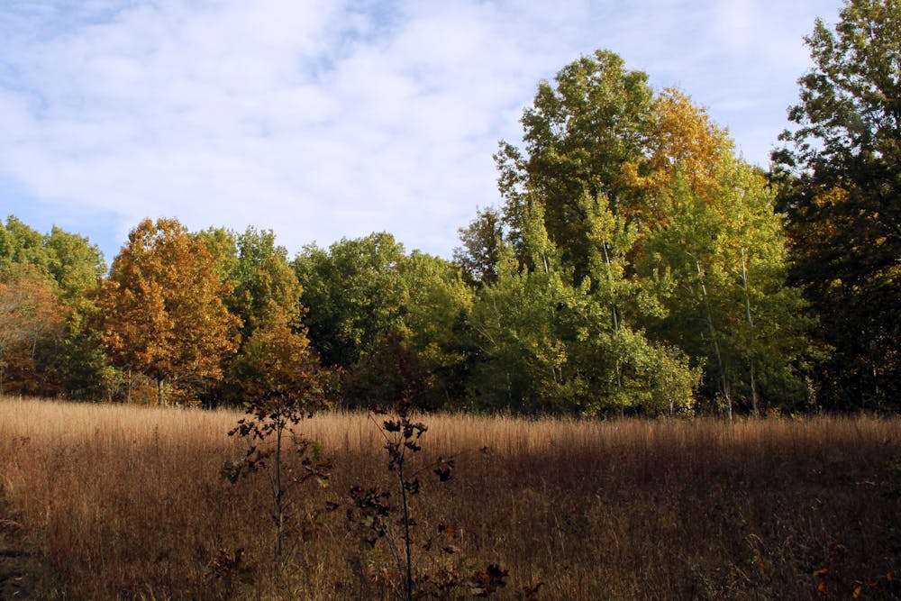
One major reason to hike this area is the abundance of connecting and crossover trails you will pass along the way. Just shy of 7 miles, this mapped route is one of the longer loops along the trail that doesn't utilize Calumet Dunes Trail, Dunewood Trace, or Glenwood Dunes Extension - all of which combined can lengthen a hike to nearly 15 miles. Be sure to bring a trail map along on this hike though, there are 13 trail junctions along the way that can be difficult to navigate for a first-time visitor.
Begin this hike at the main trailhead off of Brummitt Road in Chesterton. The trailhead for Calumet Dunes is noted as the best alternative parking area. Both lots are open between 6:00 am and 11:00 pm daily.
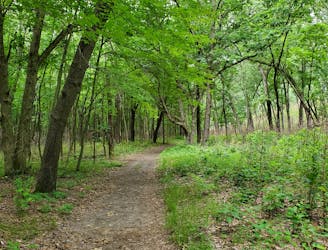
The trails are mostly "packed dirt with some sections of sand of boardwalk," making it an easy-to-moderate hike for most. Restrooms and drinking water are available year-round at both trailheads and there is no parking or entrance fee. Dogs are not allowed on any section of trail open to equestrian users, so its probably best to leave your four-legged friend at home for this one.
Moderate
Hiking along trails with some uneven terrain and small hills. Small rocks and roots may be present.

The trail contains some obstacles such as outcroppings and rock which could cause injury.
Away from help but easily accessed.
1.6 km away
An easy and fully-accessible hike through a series of dune ridges.
Easy Hiking
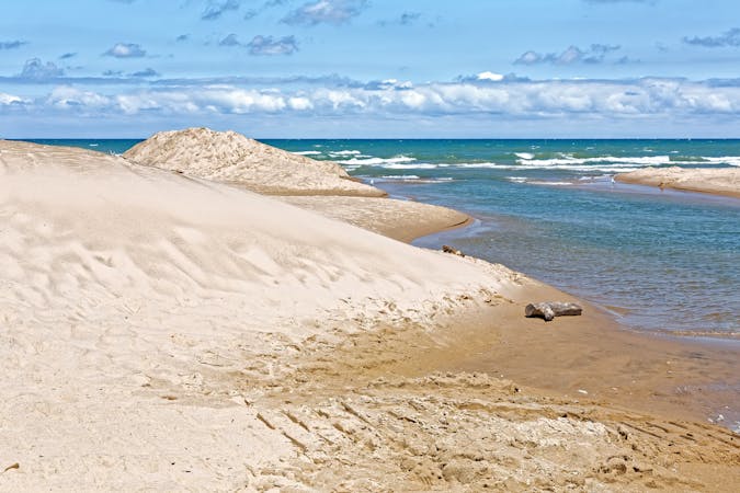
2.9 km away
A relaxing hike through a marsh noted for its long boardwalk, ferns, and early spring wildflowers.
Easy Hiking
3.3 km away
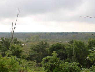
A short hike with expansive views of the Great Marsh.
Easy Hiking
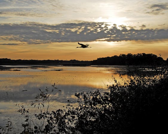
3.8 km away

A short hike great for birdwatching in "the largest wetland complex in the Lake Michigan watershed."
Easy Hiking
4.2 km away

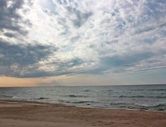
Hike through quiet, serene forests, then follow sand dunes along Lake Michigan back to the trailhead.
Moderate Hiking
6 km away
A moderate hike with "outstanding plant diversity" and the option to enjoy lunch of the shores of Lake Michigan.
Moderate Hiking
6.7 km away
An easy hike exploring the restored Mnoké Prairie, Bailly Homestead, and Chellberg Farm.
Moderate Hiking
10 routes · Hiking
4 routes · Hiking