1.7 km away
Calumet Dunes Trail

An easy and fully-accessible hike through a series of dune ridges.
Easy Hiking
- Distance
- 904 m
- Ascent
- 7 m
- Descent
- 7 m
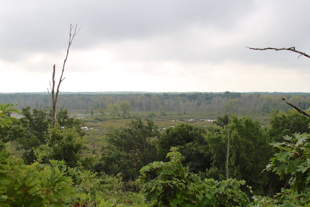
A short hike with expansive views of the Great Marsh.
Hiking Easy

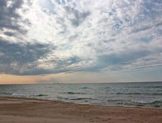
The Dune Ridge Trail offers expansive views of the Great Marsh, an incredibly diverse area that contributes to the park's title as "one of the top five most biologically diverse of all the national parks." Along the dunes, certain "pioneer plants such as marram and little bluestem grasses and cottonwood trees" have "adapted to live in the dunes where moving sand sometimes partially buries or uncovers plant stems and roots."
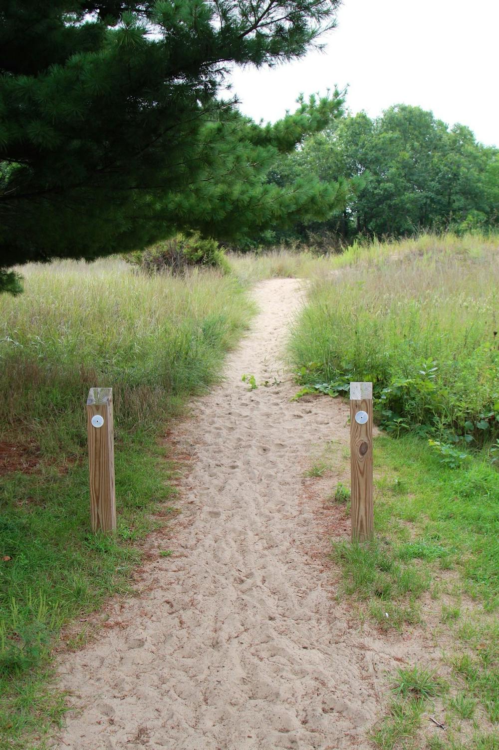
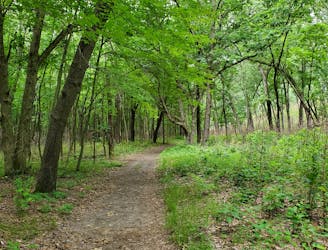
Mostly easy, this hike is rated moderate due to one particularly steep sandy slope. It's a short 0.7-mile lollipop and typically completed within 30 minutes to 1 hour. This is an excellent option for a short family-friendly hike, and it's even pet-friendly!
The trailhead for this hike is somewhat large, but can quickly fill on a busy summer weekend. It also doubles as a parking area for Kemil Beach, which is just a short walk away. Parking is free and no entry fees are required. Potable water and restrooms are both available and the lot from 6:00 am to 11:00 pm daily, per the NPS.
Easy
Walking along a well-kept trail that’s mostly flat. No obstacles are present.

The trail contains some obstacles such as outcroppings and rock which could cause injury.

Close to help in case of emergency.
1.7 km away
An easy and fully-accessible hike through a series of dune ridges.
Easy Hiking
1.9 km away

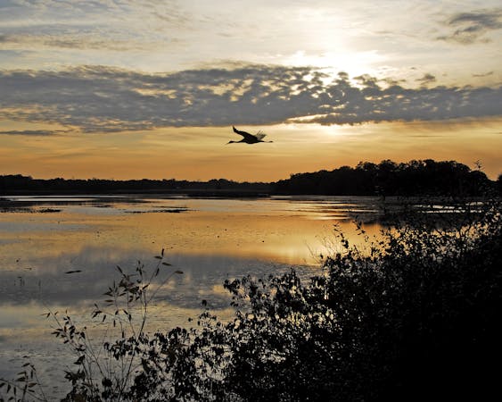
A short hike great for birdwatching in "the largest wetland complex in the Lake Michigan watershed."
Easy Hiking
3.3 km away
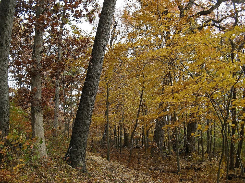
An extensive network of trail with several options for shorter or longer hikes.
Moderate Hiking
4 km away
A relaxing hike through a marsh noted for its long boardwalk, ferns, and early spring wildflowers.
Easy Hiking
4.8 km away

Hike through quiet, serene forests, then follow sand dunes along Lake Michigan back to the trailhead.
Moderate Hiking
7.4 km away
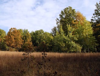
A moderate hike with "outstanding plant diversity" and the option to enjoy lunch of the shores of Lake Michigan.
Moderate Hiking
8.9 km away
An easy hike exploring the restored Mnoké Prairie, Bailly Homestead, and Chellberg Farm.
Moderate Hiking
10 routes · Hiking
4 routes · Hiking