1 m away
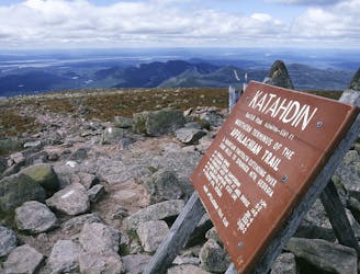
Mount Katahdin Eastern Approach Loop
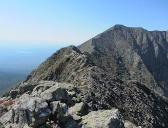
An incredibly challenging and dangerous loop reserved only for the adventurous..
Severe Hiking
- Distance
- 15 km
- Ascent
- 1.2 km
- Descent
- 1.2 km
Le plus haut sommet du Maine ! Une rando incontournable dans la région.
Hiking Severe

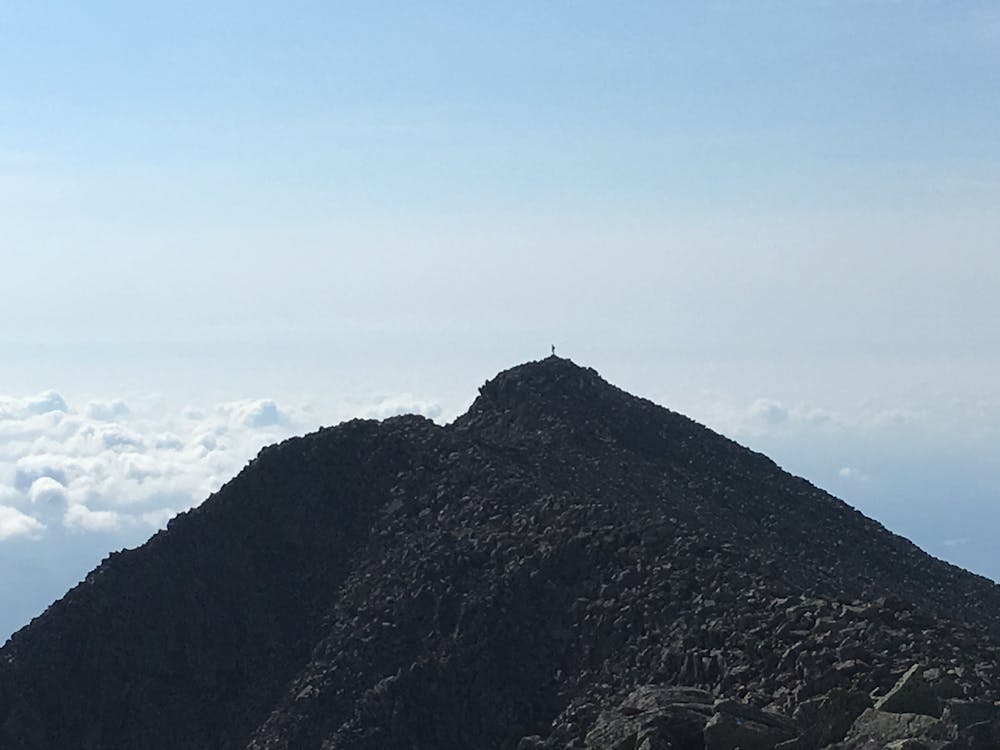
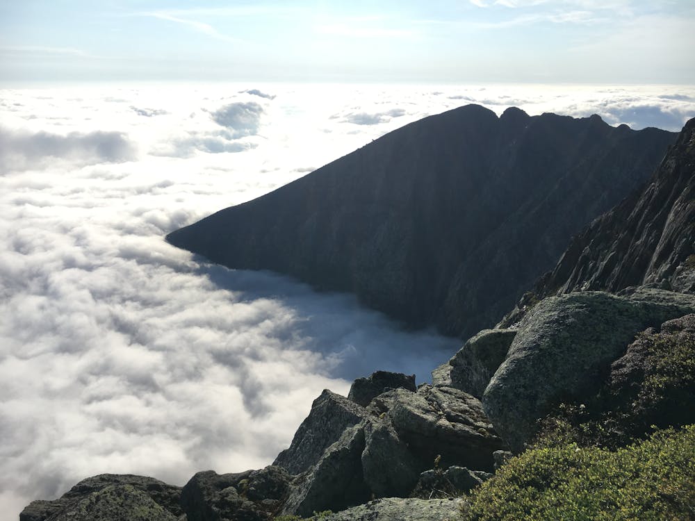
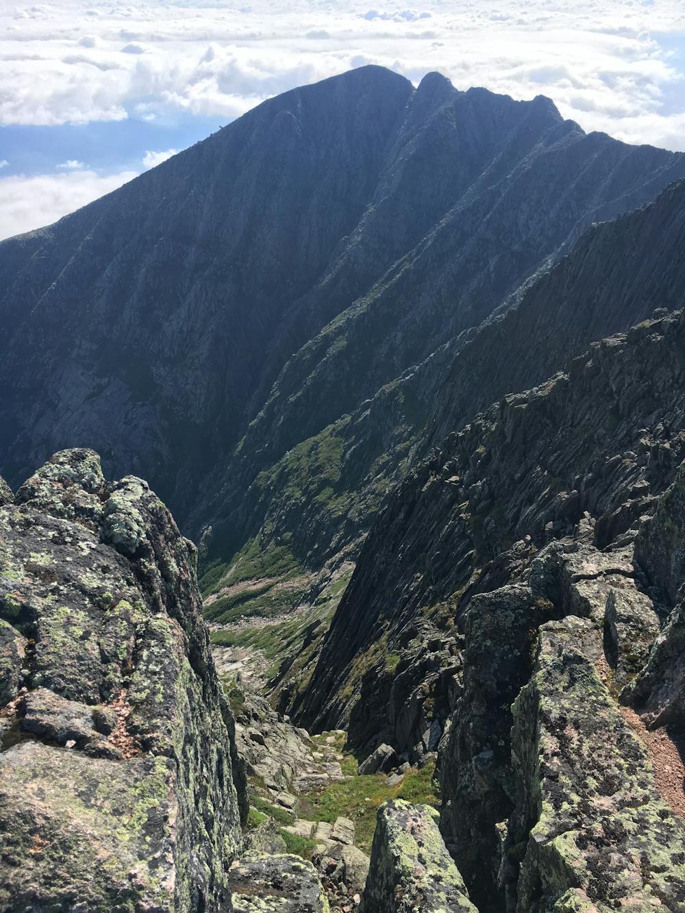
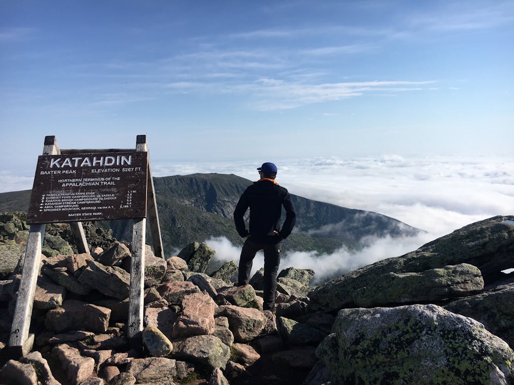
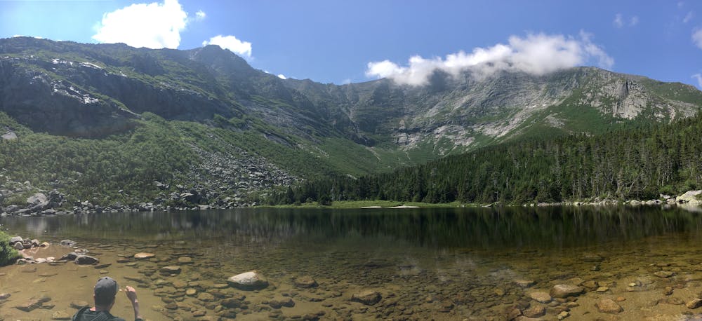
Plus haut sommet du Maine USA, le Mont Katahdin se situe dans le Baxter State Park. Son ascension constitue un challenge indéniable pour tous les adeptes de la randonnée. Les sentiers Cathedral trail et Knife Edge vous offrent un spectacle des plus vertigineux ainsi qu’une magnifique vue.
Severe
Hiking challenging trails where simple scrambling, with the occasional use of the hands, is a distinct possibility. The trails are often filled with all manner of obstacles both small and large, and the hills are very steep. Obstacles and challenges are often unexpected and can be unpredictable.

Some trail sections have exposed ledges or steep ascents/descents where falling could cause serious injury.

Away from help but easily accessed.
1 m away
An incredibly challenging and dangerous loop reserved only for the adventurous..
Severe Hiking
9.7 km away
The shortest, most direct route to Mount Katahdin.
Extreme Hiking

58 routes · Hiking

10 routes · Hiking