0 m away
Long Trail: Southern Terminus via the Appalachian Trail
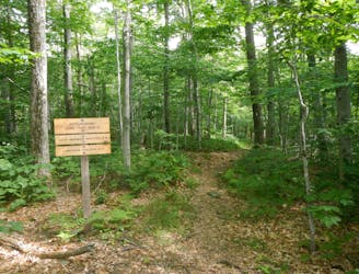
A common approach to the southern terminus of Vermont's Long Trail.
Moderate Hiking
- Distance
- 6.3 km
- Ascent
- 538 m
- Descent
- 21 m

The AT transitions from the Berkshires of Massachusetts to the Green Mountains of Vermont.
Also in Vermont, United States of America
Hiking Difficult

If heading north on the AT, take the time to properly re-supply in North Adams before heading north. Without hitchhiking, there are no notable resupply points along the way. Additionally, the Appalachian Trail Conservancy recommends avoiding this region in April and May due to mud.
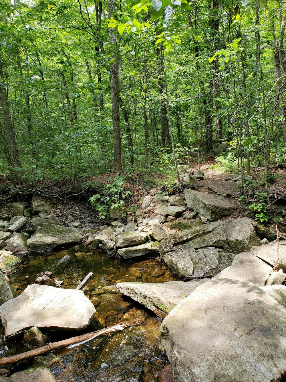
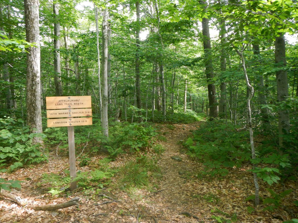
Passing over East Mountain, the trail quickly reaches the Vermont state line, where it joins the Long Trail until US-4 between Rutland and Killington. A wooden placard notes the landmark.
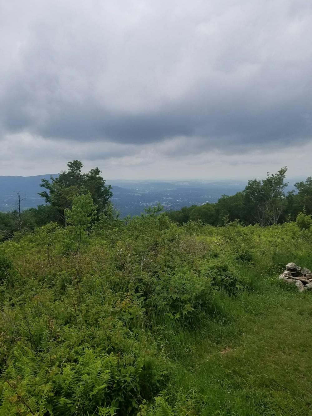
Passing through a remote stretch of forest, the trail skirts around Lake Hancock. One road crossing lies ahead before the trail traverses to a high point at Harmon Hill. This clearing provides phenomenal views of nearby Bennington to the west. An incredibly rocky, stair-like descent lines the final mile to VT-9, also referred to as Molly Stark Trail.
A small trailhead lies across the road before crossing the river. For thru-hikers, this is the first opportunity to hitchhike (or take the bus) into town for resupply.
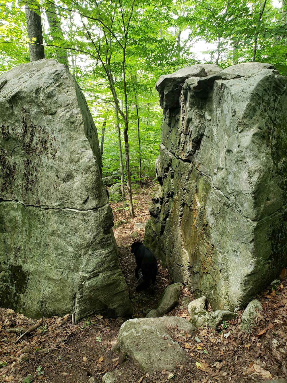
Just north on the trail, you'll reach a large boulder with a crack wide enough to pass through. This landmark serves as a popular destination for a short hike from the road and a great spot for lunch.
Ahead, the trail passes over Maple Hill and into Glastenbury Wilderness. After an arduous climb to the top, you'll be welcomed with an observation tower and 360-degree views of the surrounding mountains.
Adjacent to the ridge, the abandoned town of Glastenbury lies in the valley to the west. Once a booming logging and mining town, the area is now home to a considerable amount of strange phenomena—paranormal activity, strange disappearances, and even UFO sightings, to name a few.
Heading north, the trail passes through more remote backcountry, winding its way through picturesque flora and fauna and reaching the intersection with Branch Pond Trail.
At the intersection with Stratton Arlington, you will be at the northern terminus for the segment. A few alternative parking areas lie along the road should the lot be full.
Sources: http://www.happyvermont.com/2014/10/23/glastenbury-ghost-town/
Difficult
Hiking trails where obstacles such as rocks or roots are prevalent. Some obstacles can require care to step over or around. At times, the trail can be worn and eroded. The grade of the trail is generally quite steep, and can often lead to strenuous hiking.
0 m away

A common approach to the southern terminus of Vermont's Long Trail.
Moderate Hiking
4.9 km away
The southernmost segment of Vermont's Long Trail.
Difficult Hiking

58 routes · Hiking
9 routes · Hiking