1.1 km away
Mount Rose Summit
Strenuous ascent to a big reward atop the highest peak on Lake Tahoe’s Nevada side.
Difficult Hiking
- Distance
- 16 km
- Ascent
- 693 m
- Descent
- 693 m
Walk the lofty divide between Lake Tahoe’s basin and the Great Basin, with huge views over the desert ranges of Nevada to the east and the familiar blue water to the west.
Hiking Difficult

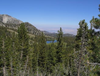
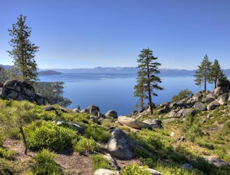
The Tahoe Meadows to Spooner Summit section of the Tahoe Rim Trail is the segment that most feels like the perimeter of a great alpine basin. It truly is the rim—the crest of the Carson Range—with Lake Tahoe to the west and the Washoe Valley to the east.
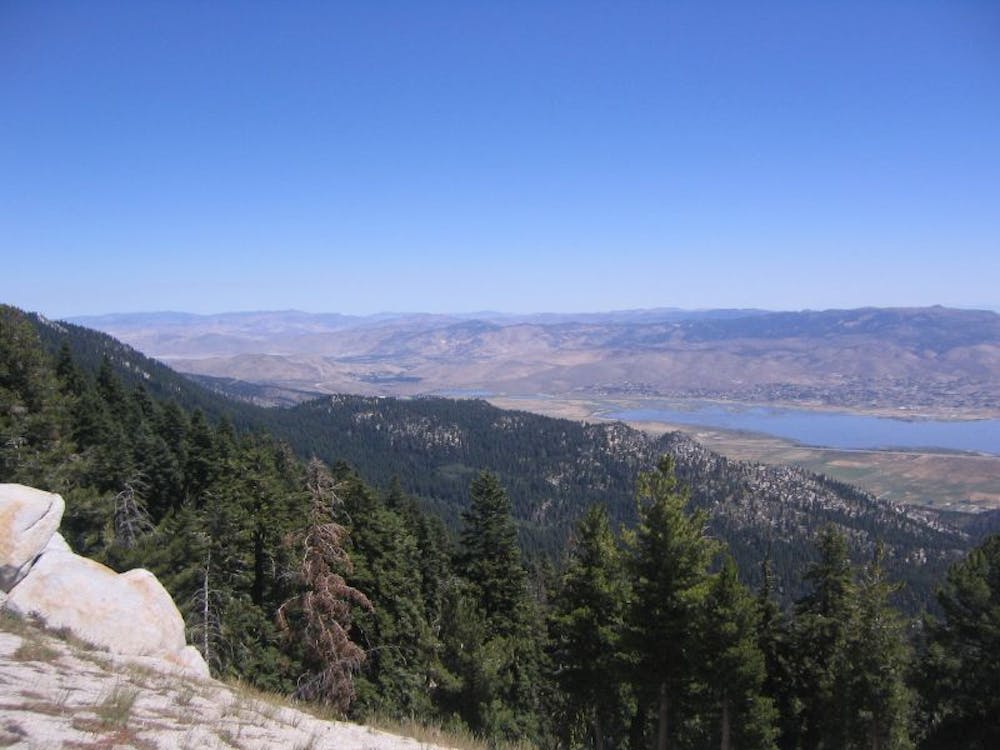
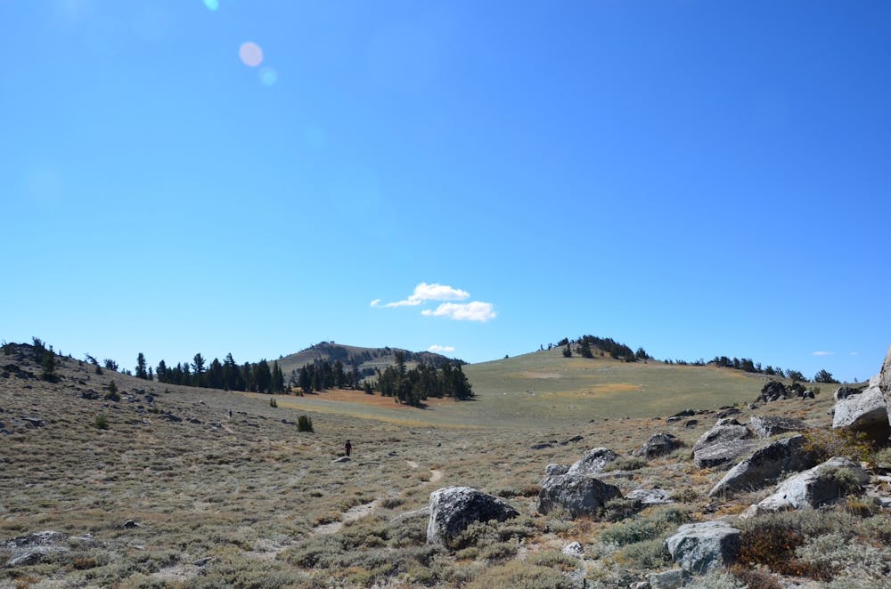
The first half of this segment is mostly through gently sloped, forested hills. Glimpses through the trees are enough to realize the prominence of this ridgeline, however. The blue of Lake Tahoe lies far below on one side, and the sand-colored expanse of the Washoe Valley on the other.
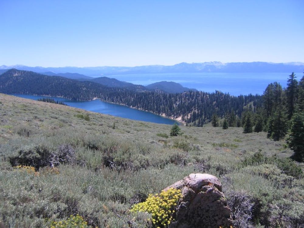
Twin Lakes, a peaceful spot to rest and dip your feet, marks roughly the halfway point of this section and heralds a change in scenery. South of there comes steeper terrain with bigger vistas, granted by open meadows on volcanic slopes. Marlette Lake can be seen perched above Lake Tahoe on the mountainside below. Carson City, Nevada’s state capital, lies in the valley on the other side, beneath the rugged horizon of more mountains in the Basin and Range.
Don’t skip the short spur to Christopher’s Loop, a bit south of Twin Lakes. It leads to an incredibly photogenic overlook on a cliff high above Lake Tahoe, looking directly down at Sand Harbor and across to Tahoe City. This is one of the best viewpoints on the entire Tahoe Rim Trail.
Sources: https://tahoerimtrail.org/maps-trail-info/ https://tahoerimtrail.org/wp-content/uploads/2017/04/MapBrochMtR-TMtoSS.pdf https://en.wikipedia.org/wiki/TahoeRimTrail
Difficult
Hiking trails where obstacles such as rocks or roots are prevalent. Some obstacles can require care to step over or around. At times, the trail can be worn and eroded. The grade of the trail is generally quite steep, and can often lead to strenuous hiking.

The path is on completely flat land and potential injury is limited to falling over.

Away from help but easily accessed.
1.1 km away
Strenuous ascent to a big reward atop the highest peak on Lake Tahoe’s Nevada side.
Difficult Hiking
8.6 km away
Rewarding uphill hike from Incline Village, Nevada with big views over Lake Tahoe and access to other great trails.
Moderate Hiking

8 routes · Hiking

14 routes · Hiking