Mount Rose Summit
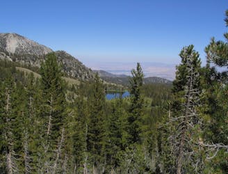
Strenuous ascent to a big reward atop the highest peak on Lake Tahoe’s Nevada side.
Difficult Hiking
- Distance
- 16 km
- Ascent
- 693 m
- Descent
- 693 m
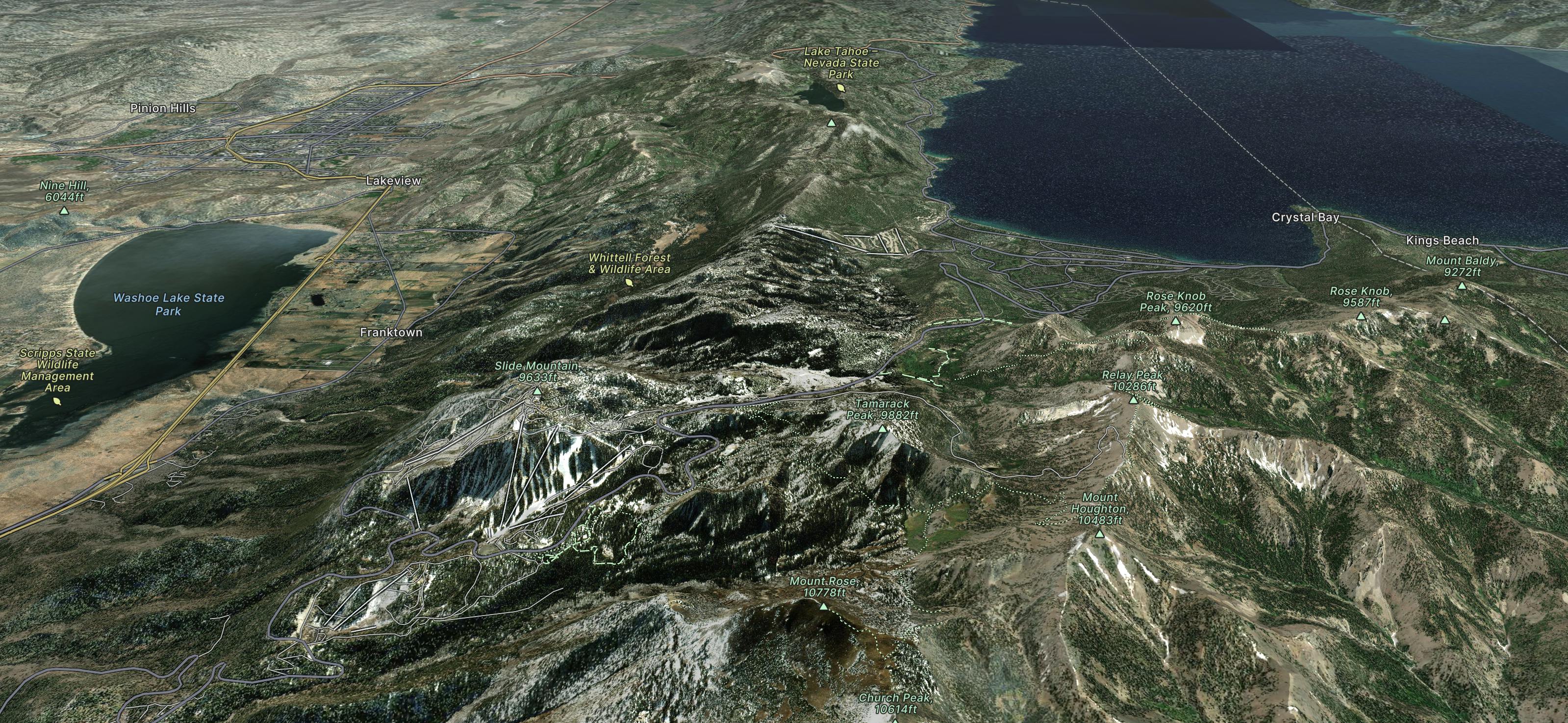
Good powder skiing and steep chutes for the more serious skier. At 8260 feet it has Tahoe's highest base area meaning better snow reliability.
Explore Mount Rose with curated guides of the best hiking trails, and more. With over 11 3D trail maps in FATMAP, you can easily discover and navigate the best trails in Mount Rose.
No matter what your next adventure has in store, you can find a guide on FATMAP to help you plan your next epic trip.
Get a top trail recommendation in Mount Rose from one of our 5 guidebooks, or get inspired by the 11 local adventures uploaded by the FATMAP community. Start exploring now!

Strenuous ascent to a big reward atop the highest peak on Lake Tahoe’s Nevada side.
Difficult Hiking
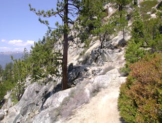
Uphill hike through forest to a large alpine reservoir perched in the mountains above Lake Tahoe, with access to the historic Flume Trail.
Difficult Hiking
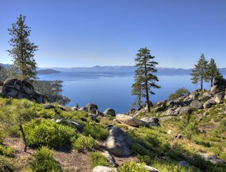
Rewarding uphill hike from Incline Village, Nevada with big views over Lake Tahoe and access to other great trails.
Moderate Hiking
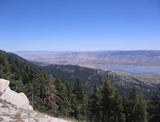
Walk the lofty divide between Lake Tahoe’s basin and the Great Basin, with huge views over the desert ranges of Nevada to the east and the familiar blue water to the west.
Difficult Hiking
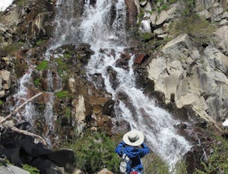
A strenuous but gorgeous segment through the Mount Rose Wilderness Area and over the trail’s highest point, Relay Peak (10,338 ft).
Difficult Hiking
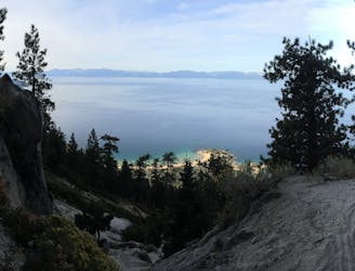
The historic Flume Trail, traversing high above the stunningly-beautiful Lake Tahoe.
Moderate Mountain Biking
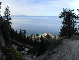
An epic combination of two of Tahoe's most iconic trails.
Moderate Mountain Biking

Student led backcountry tour
Moderate Ski Touring
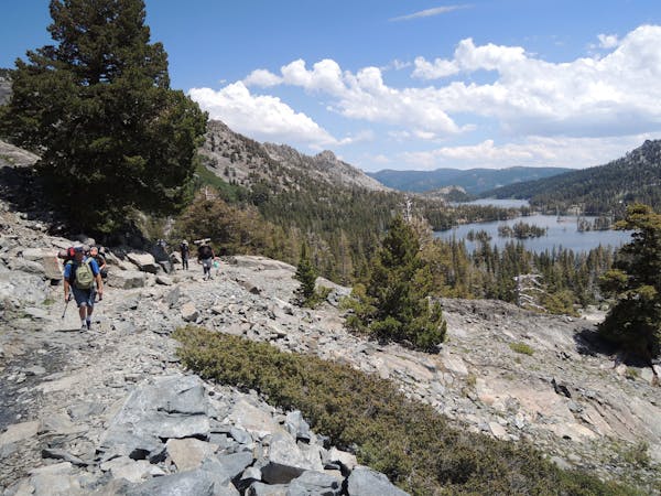
8 routes · Hiking
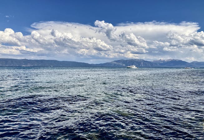
14 routes · Hiking
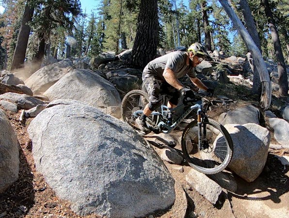
10 routes · Mountain Biking
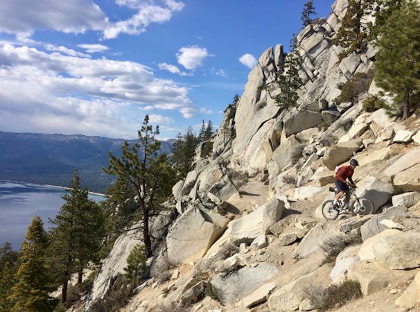
4 routes · Mountain Biking
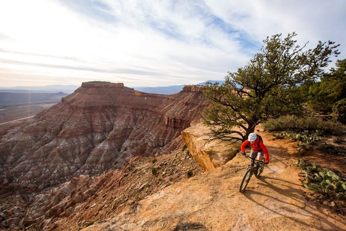
24 routes · Mountain Biking