0 m away
Frijoles Canyon Loop
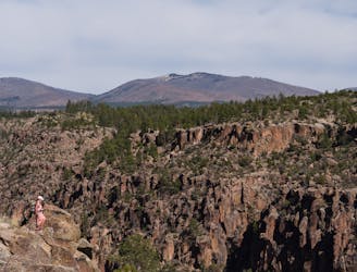
This loop meanders along the rim and back through Frijoles Canyon.
Difficult Hiking
- Distance
- 22 km
- Ascent
- 593 m
- Descent
- 593 m
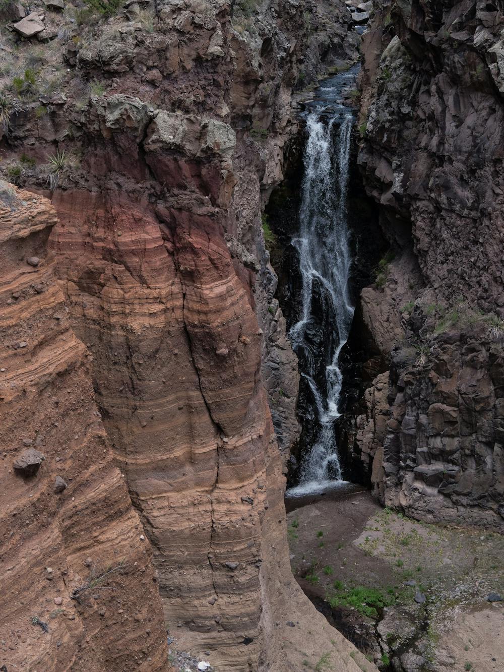
A 1.5-mile hike to a beautiful waterfall.
Hiking Moderate

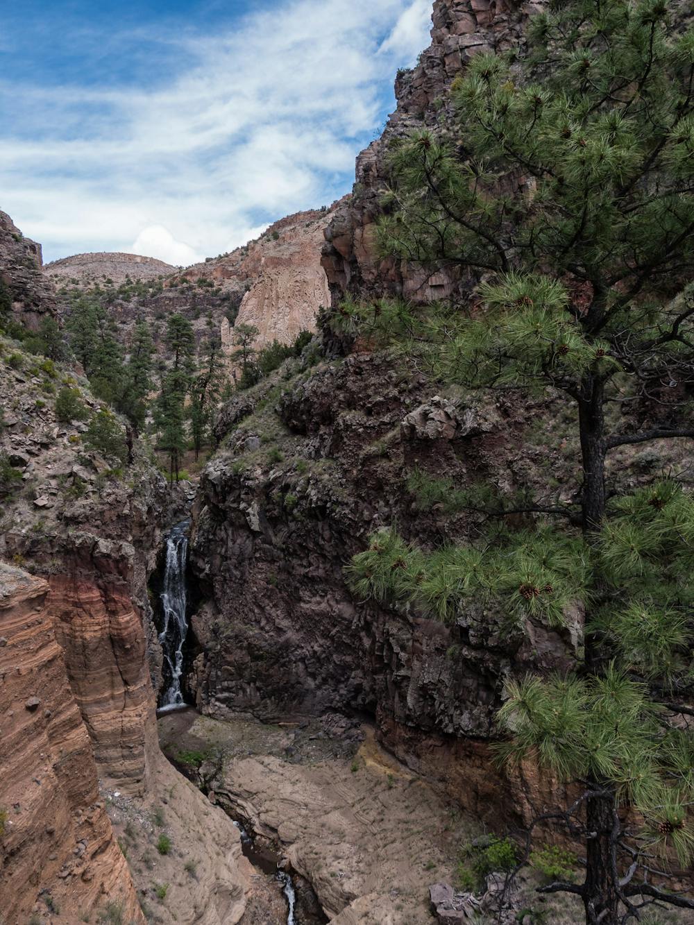
This hike to the Upper Falls of Frijoles Creek is extremely popular, and for good reason. It is only 1.5 miles to the falls (3 miles roundtrip), but the route takes hikers through beautiful shaded woods, to canyon views, and they get to enjoy the frequent sound of burbling water.
The best way to fully experience this hike is to utilize the excellent “Falls Trail Virtual Tour” https://www.nps.gov/band/learn/photosmultimedia/fallsvt.htm or purchase the same resource in printed format at the Bandelier National Monument Visitor Center. When visiting any National Park or Monument, spending the time to learn about the history of the place is important to understanding why it is protected and preserved in perpetuity.
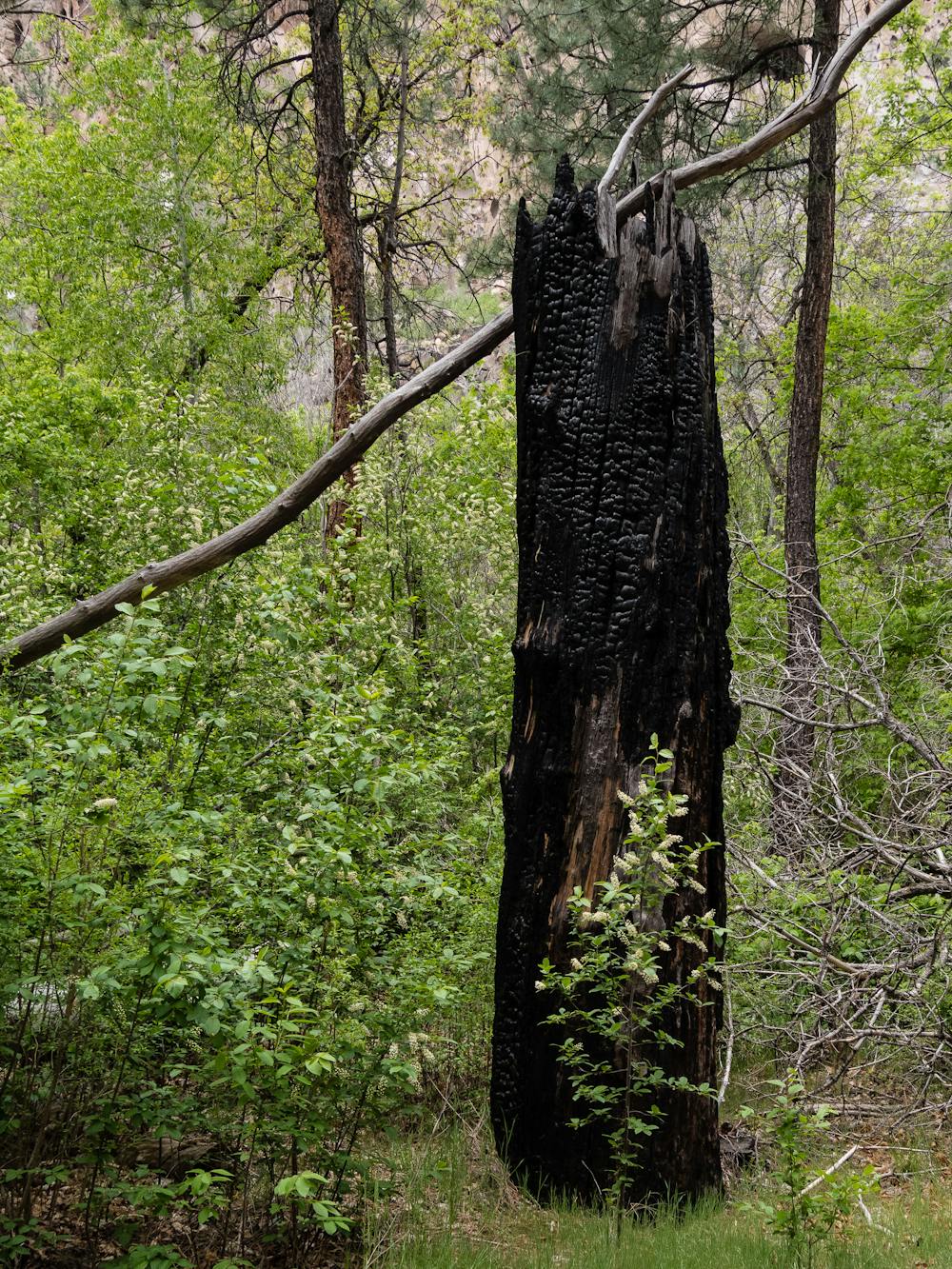
Even in this lush forest, remnants of burned trees remind hikers of past wildfires. Another stark reminder of the power of nature is the impact of devastating floods that typically follow fire. The Falls Trail used to continue from the Upper Falls to Lower Falls and on to the Rio Grande, but after the 2011 flood completely washed away the trail along the cliffs, that is no longer possible. The trail now ends at a sheer cliff face at the Upper Falls, so the remaining mile to the Rio Grande is inaccessible from the Upper Falls.
Fortunately, the Upper Falls is a gorgeous endpoint and worthy of the 1.5-mile trek. If you choose an off-season day to explore Bandelier, it is even quite possible to have this popular place largely to yourself. Plan to have a picnic, or at least a snack at the falls before heading back.
This hike originates at the end of the Backpackers Parking Lot near the Visitor Center. It is important to note that it is required to enter Bandelier via the free Atomic City Transit shuttle between mid-May and mid-October. Certain exemptions allow for personal vehicles: https://www.nps.gov/band/planyourvisit/shuttle.htm
One easy way to spend days exploring Bandelier is to camp in the Juniper Campground, located quite near the Park Entrance with easy access to most trailheads: https://www.nps.gov/band/planyourvisit/juniper-family-campground.htm
Moderate
Hiking along trails with some uneven terrain and small hills. Small rocks and roots may be present.

The path is on completely flat land and potential injury is limited to falling over.

Away from help but easily accessed.
0 m away
This loop meanders along the rim and back through Frijoles Canyon.
Difficult Hiking
1 m away
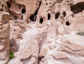
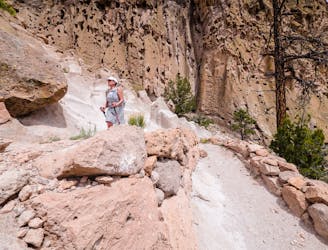
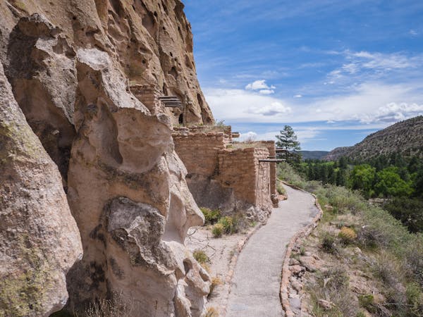
A must-do hike through Bandelier's ancient history.
Easy Hiking
1 m away
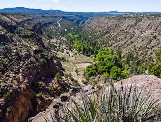
A long hike through wilderness canyons to an ancient ruins.
Difficult Hiking
2.1 km away
A historical 550-foot switchbacking descent to the Visitor Center.
Moderate Hiking
2.2 km away
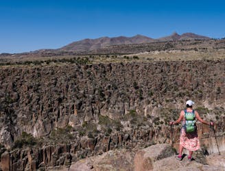
View of the canyon from Tyuonyi Overlook.
Easy Hiking
6 routes · Hiking