31 m away
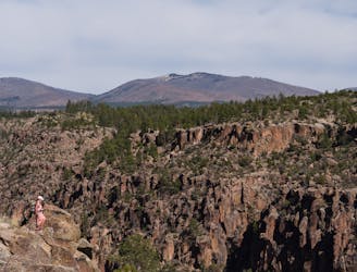
Tyuonyi Overlook
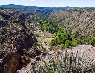
View of the canyon from Tyuonyi Overlook.
Easy Hiking
- Distance
- 3.5 km
- Ascent
- 59 m
- Descent
- 59 m
A historical 550-foot switchbacking descent to the Visitor Center.
Hiking Moderate

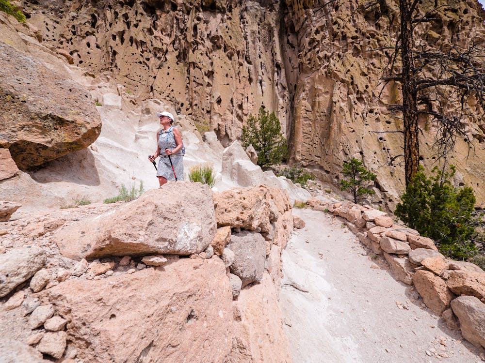
This 1.5-mile trek down into Frijoles Canyon has got it all: history; dramatic, expansive canyon views; beautiful plants, including brilliant red cactus blossoms; and the opportunity to hike downhill only!
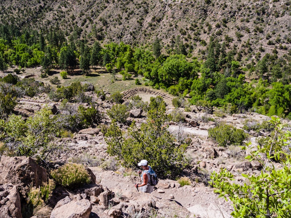
The Frey Trail, originally called the Old North trail, used to be the primary way to get from the North Rim down to the bottom of Frijoles Canyon. Once the entrance road was built in the 1930s, vehicles could drive in so the trail became used more for recreation than transportation.
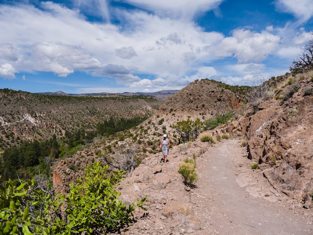
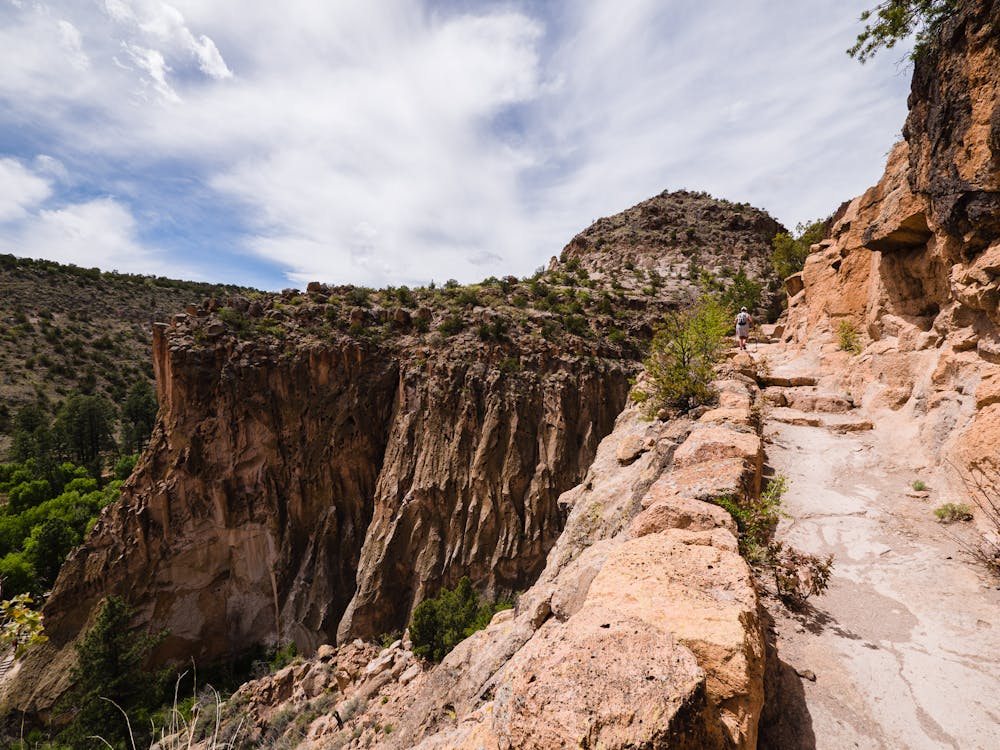
This is a visually-stunning trek, so bring a camera and take ample time to enjoy it. The mesa at the top brings hikers to the rim of the canyon, where the highly-developed trail drops precipitously 550 feet down the canyon wall. Due to beautifully-built switchbacks, the wide trail is easy to navigate whether descending or ascending.
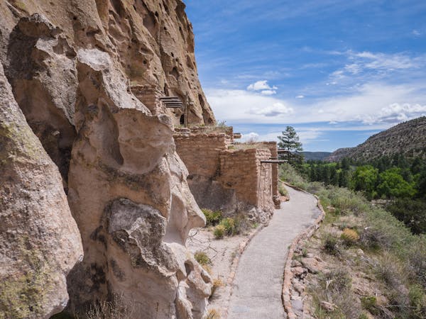
Be sure to stop frequently to take in the sweeping views of the canyon below and the sheer wall on the opposite side, where the Long Trail can be seen snaking its way up and Tyuonyi Pueblo on the canyon floor.
After reaching the bottom, the Frey Trail meets up with the Main Loop Trail near Tyuonyi Pueblo. From that point, options include hiking the Main Loop with all its archeological sites, heading back UP the Frey Trail, or continuing on another 1/2-mile to the Visitor Center. From mid-May to mid-October, hikers can hop on the free shuttle and ride back up to Juniper Campground. This is a wonderful option for hikers with small children or those who can't do the 550-foot ascent to get back to the trailhead.
This hike begins at the Amphitheater parking area at Juniper Campground. https://www.nps.gov/band/planyourvisit/frey-trail.htm It is important to note that you're required to enter Bandelier via the free Atomic City Transit shuttle between mid-May and mid-October. Certain exemptions allow for personal vehicles: https://www.nps.gov/band/planyourvisit/shuttle.htm
One great way to spend days exploring Bandelier is to camp in the Juniper Campground, located quite near the Park Entrance with easy access to most trailheads: https://www.nps.gov/band/planyourvisit/juniper-family-campground.htm
Moderate
Hiking along trails with some uneven terrain and small hills. Small rocks and roots may be present.

The trail contains some obstacles such as outcroppings and rock which could cause injury.
Away from help but easily accessed.
31 m away
View of the canyon from Tyuonyi Overlook.
Easy Hiking
2.1 km away
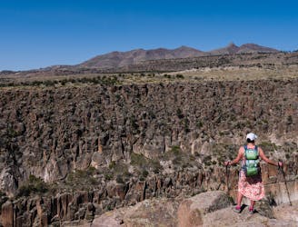
A long hike through wilderness canyons to an ancient ruins.
Difficult Hiking
2.1 km away
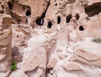
A must-do hike through Bandelier's ancient history.
Easy Hiking
2.1 km away
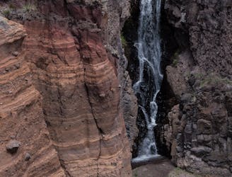
A 1.5-mile hike to a beautiful waterfall.
Moderate Hiking
2.1 km away
This loop meanders along the rim and back through Frijoles Canyon.
Difficult Hiking
6 routes · Hiking