6.8 km away
Devisadero Peak Loop

A steep, technical test piece of a trail.
Severe Mountain Biking
- Distance
- 8.8 km
- Ascent
- 425 m
- Descent
- 425 m
A little-ridden point-to-point shuttle combining old dirt roads and rugged singletrack.
Mountain Biking Severe

While the South Boundary trail is renowned as one of the top mountain bike rides in all of New Mexico, just on the other side of the valley, there's a lesser-known point-to-point shuttle known as the North Boundary Trail. North Boundary is, admittedly, not nearly of the same caliber or quality as South Boundary, but if you're looking for an under-the-radar point-to-point ride near Taos, this could fill the ticket nicely.
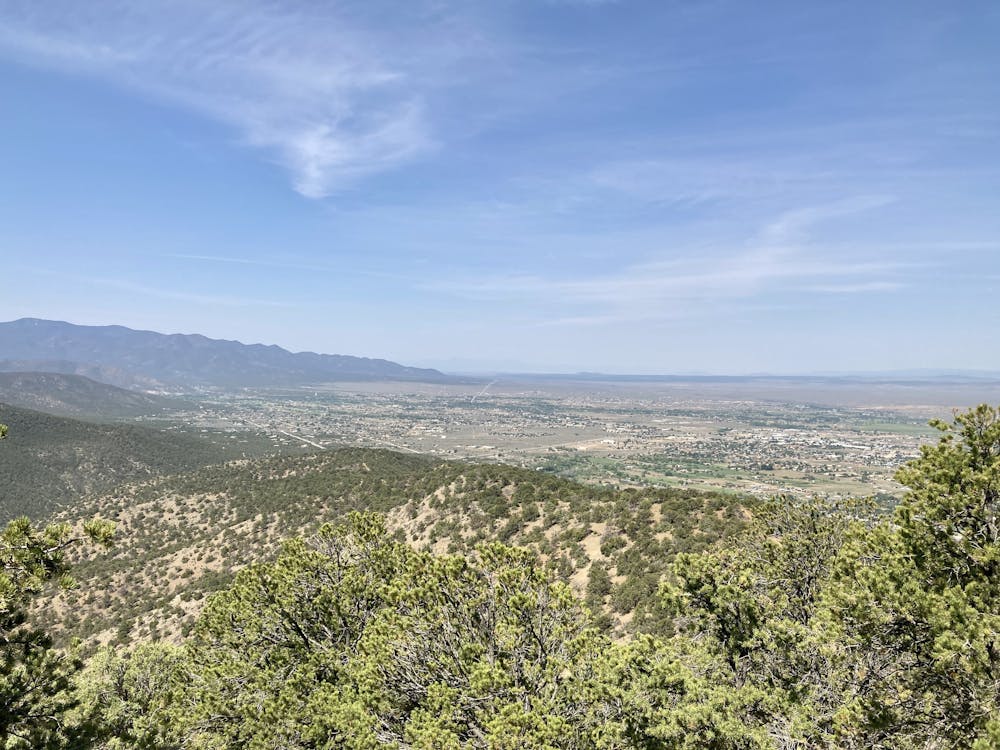
After getting your shuttle to the starting point mapped here, the ride begins on an old forest road that narrows down to doubletrack in many places. You'll pedal this old road for miles, meaning that this isn't a top-tier singletrack ride the entire way.
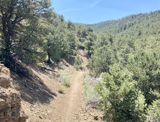
Eventually, the forest road gives way to a wide singletrack that consistently narrows down until you're finally pedaling a true trail. Unfortunately, as the trail traverses the ridge and then descends a section of steep hillside, the trail (despite being a legal, designated trail) disappears at times, and can be almost impossible to follow without a GPS track. Be sure to download this route for offline navigation.
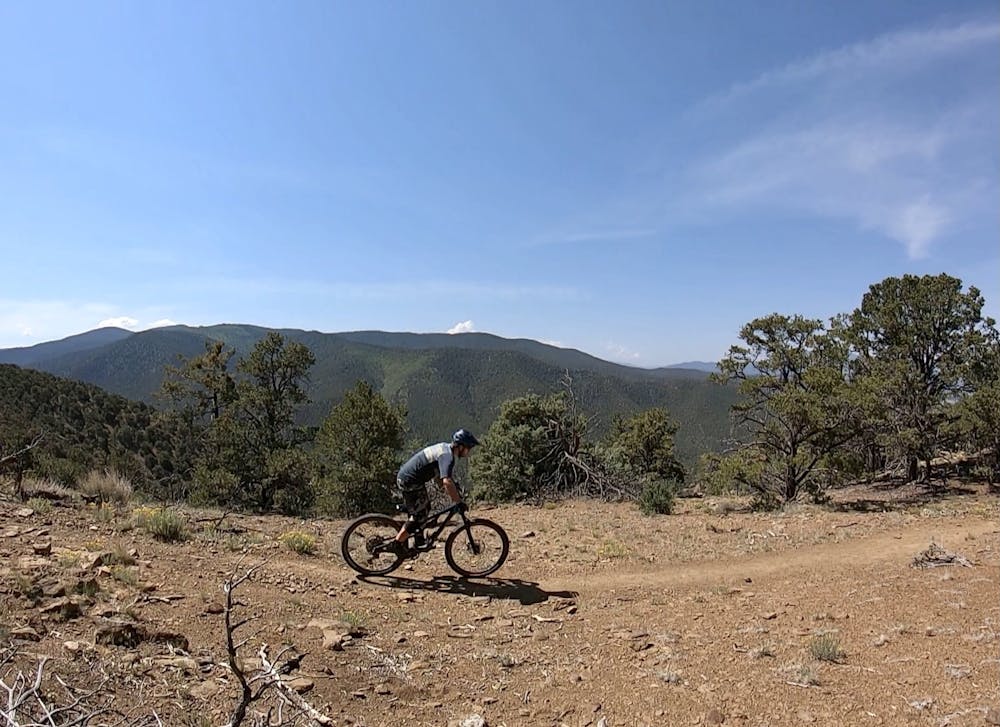
Eventually, North Boundary reaches a junction with the Devisadero Peak Loop, leading into the final, rewarding descent.
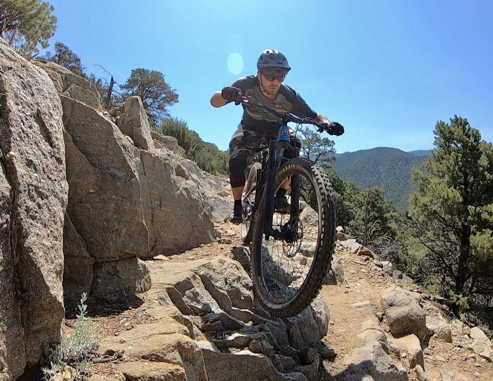
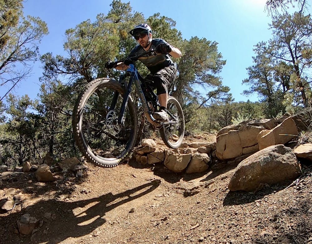
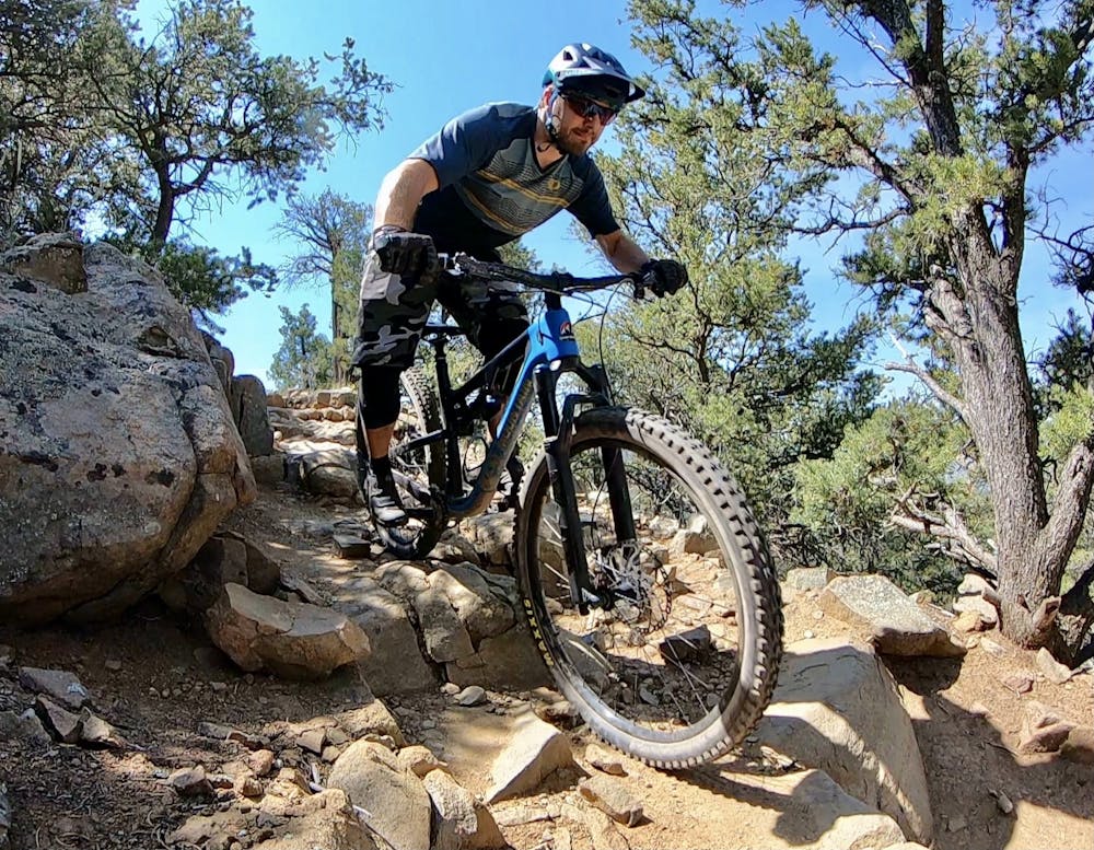
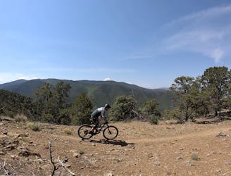
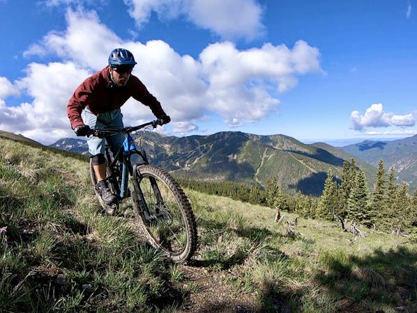
The Devisadero Peak descent is rideable in the downhill direction, but some sections will still test even advanced mountain bikers. There are some respectable ledge drops, brutal rock gardens, slab rock rolls, loose rolling rocks, and plenty of sharp switchbacked corners. The sightlines are quite good into most of the features, allowing riders who are unfamiliar with the area to rail through even the biggest features. Still, if some features seem non-obvious, you can always hike back up and spend some time sessioning. For the amount of work that you put into getting here, it's best to savor the descent, as it's unfortunately over all too quickly.
This trail is also very popular with hikers, so be sure to ride heads-up. That said, enjoy the rip down the mountain—you've earned it!
Severe
Widely variable, narrow trail tread with steeper grades and unavoidable obstacles of 15in/38cm tall or less. Obstacles may include unavoidable bridges 24in/61cm wide or less, large rocks, gravel, difficult root sections, and more. Ideal for advanced-level riders.

Some trail sections have exposed ledges or steep ascents/descents where falling could cause serious injury.
Little chance of being seen or helped in case of an accident.
6.8 km away
A steep, technical test piece of a trail.
Severe Mountain Biking
6.8 km away
If you're looking for a beat down without even leaving the foothills of Taos, look no further than the so-called Taos Vortex Ride.
Severe Mountain Biking
6.8 km away
Pedal to the top of South Boundary's final rowdy descent.
Severe Mountain Biking
9 routes · Mountain Biking