9 m away
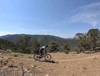
Ojitos -> South Boundary Loop
Pedal to the top of South Boundary's final rowdy descent.
Severe Mountain Biking
- Distance
- 17 km
- Ascent
- 772 m
- Descent
- 772 m
If you're looking for a beat down without even leaving the foothills of Taos, look no further than the so-called Taos Vortex Ride.
Mountain Biking Severe

If you're looking for a beat down without even leaving the foothills of Taos, look no further than the so-called Taos Vortex Ride.
The Vortex radiates from the ever-popular El Nogal Trailhead. This route is essentially a double-loop from this trailhead, with the singletrack swirling and eddying around this hotspot of fantastic, yet challenging singletrack.
The first loop on the ride departs the trailhead via the paved road and loops around the backside of Devisadero Peak. It ascends the peak from the north via the Hot Shots trail. Hot Shots is a grueling climb that is just barely on the verge of rideable. Inevitably it will force many a rider to dismount and hike-a-bike, as it gains about 850 vertical feet in just 2 miles. A few sections of this trail are rideable, and a few are entertaining, but the main goal is simply to reach the peak. Note that trail markings are largely non-existent on this trail, so watch for a couple of cairns, and be sure to download this map for offline use.
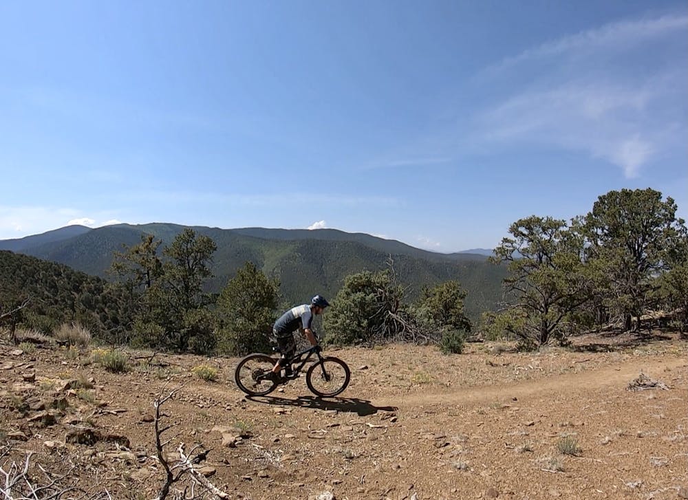
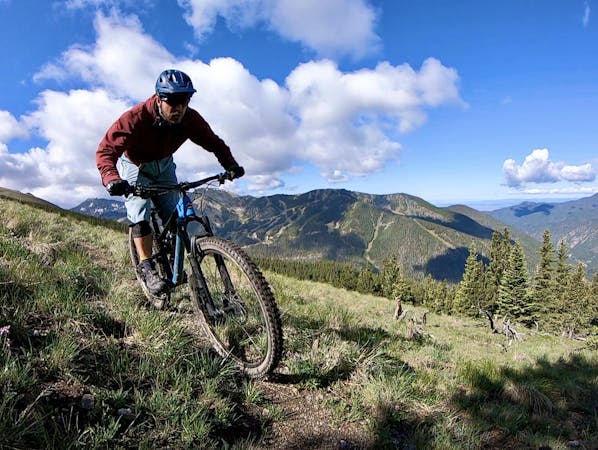
Once at the junction with North Boundary and the Devisadero Peak Loop, it's time to have some fun! The trail continues to climb to reach said peak, and then it's time to rip downhill!
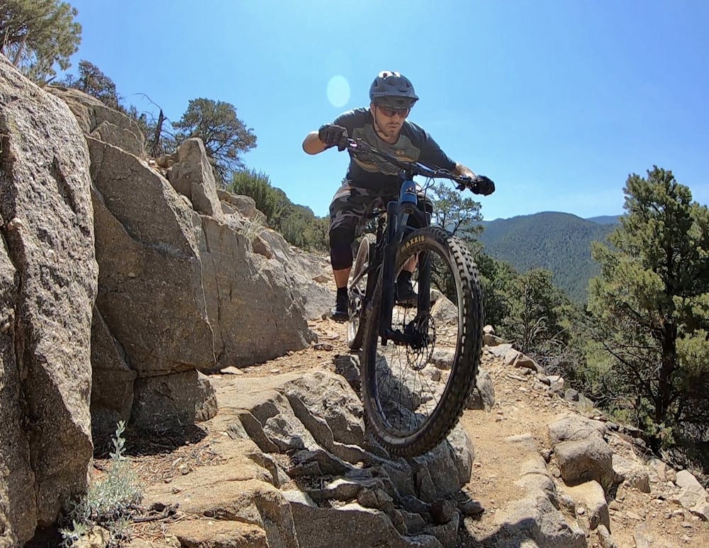
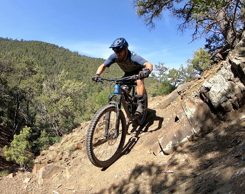
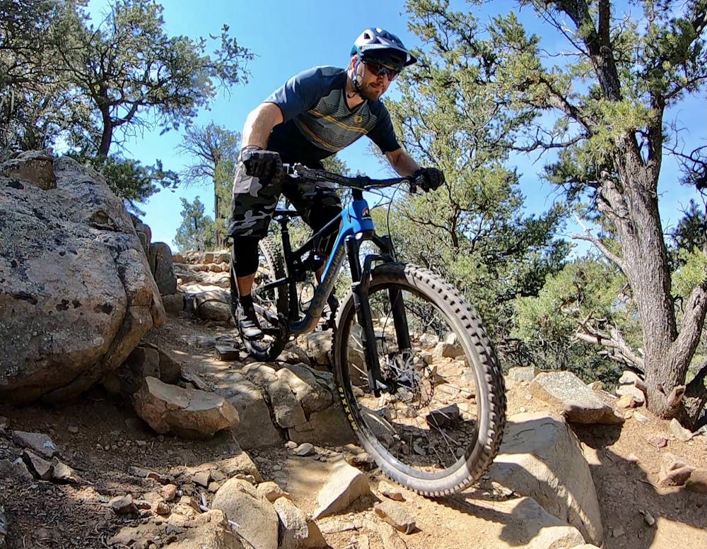
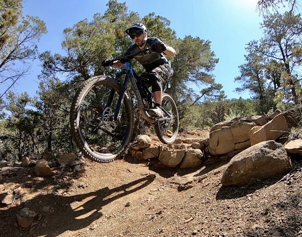
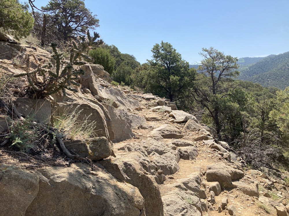
Devisadero Peak Loop is a technical test piece of a trail. While the segment mapped here is all rideable in the downhill direction, some sections will still test advanced mountain bikers. There are some respectable ledge drops, brutal rock gardens, slab rolls, loose rocks, and plenty of sharp switchbacked corners. This trail is also very popular with hikers, so be sure to ride heads-up. That said, enjoy the rip down the mountain—you've earned it!
Once back at the center of the vortex, fuel up at your car and head out to tackle the Talpa Traverse Trail. To get there, you'll have to climb up Nogal to Ojitos, then watch this map carefully for the unmarked turn onto the Traverse Trail. The trail is well-traveled—better traveled than Hot Shots—but trail markings are largely an afterthought here in Taos.
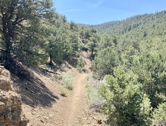
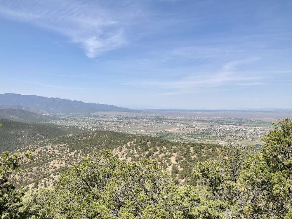
This final stretch of singletrack can feel punishing after all the work you've already done, but in actuality, it's a rolling, mellow singletrack that bobs and weaves through the pinon pines. If you were fresh, it wouldn't be quite so bad, but after a beat down from going up Hot Shots, the never-ending climbs and descents along the traverse trail could very well push you over the edge.
After several miles of this, you'll drop down to a paved road, and follow the route back to the trailhead on pavement.
Congratulations—you've conquered the Taos Vortex!
Severe
Widely variable, narrow trail tread with steeper grades and unavoidable obstacles of 15in/38cm tall or less. Obstacles may include unavoidable bridges 24in/61cm wide or less, large rocks, gravel, difficult root sections, and more. Ideal for advanced-level riders.

Some trail sections have exposed ledges or steep ascents/descents where falling could cause serious injury.

Close to help in case of emergency.
9 m away
Pedal to the top of South Boundary's final rowdy descent.
Severe Mountain Biking
23 m away

A steep, technical test piece of a trail.
Severe Mountain Biking
6.8 km away
A little-ridden point-to-point shuttle combining old dirt roads and rugged singletrack.
Severe Mountain Biking
9 routes · Mountain Biking