9 m away
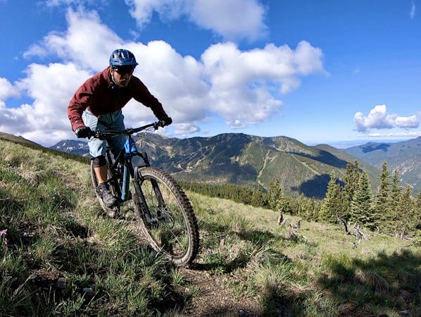
Taos Vortex Ride
If you're looking for a beat down without even leaving the foothills of Taos, look no further than the so-called Taos Vortex Ride.
Severe Mountain Biking
- Distance
- 24 km
- Ascent
- 678 m
- Descent
- 678 m
Pedal to the top of South Boundary's final rowdy descent.
Mountain Biking Severe

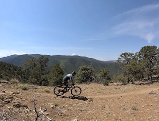
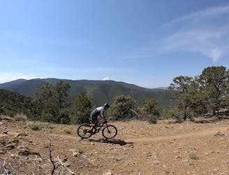
The marquee descent on the iconic South Boundary shuttle ride is actually the last pitch that drops down to the town of Taos. While South Boundary is easily one of the top rides in the state and can rank among the best trails in the nation, some riders may want to ride the final descent as a loop from the outskirts of Taos. Whether the upper sections are snowed in or coordinating a shuttle is too difficult, the best way to loop the final descent is by climbing the Ojitos Trail.
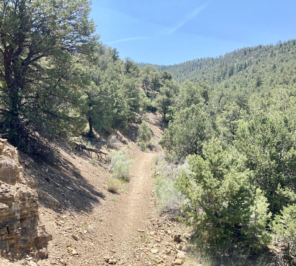
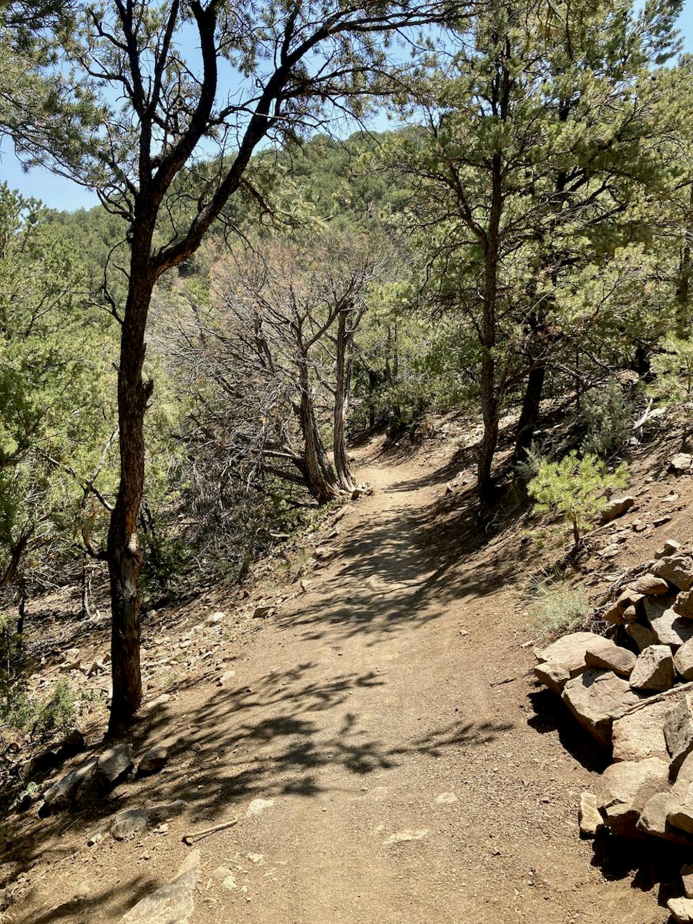
Ojitos is a steep, lung-buster of a climb up an old road grade that has narrowed down into doubletrack, and even singletrack in some places (even though the bench is wide). The climb is brutal, arduous, lengthy, and relentless... but your reward is reaching that final, ripping downhill!
The final downhill drops over 2,500 vertical feet down a rocky, dry singletrack trail to the valley floor below. Yes, that means you'll have climbed over 2,500 feet to get to this point! But once you point your tires downhill, it's all gravy.
This trail is rocky and technical, easily earning its black diamond status. Embedded rock gardens will pulverize bikes that aren't up to the task. Waterbars and rock ledges provide ample air opportunities, allowing you to launch drop after drop as you soar down the mountain. (Even though this is a popular downhill for mountain bikers, be sure to watch for uphill traffic and hikers.)
Some crux moves on this trail are quite technical and aren't for the faint of heart. Negotiating this downhill in its entirety is an advanced-level objective that's certain to please the endurobros!
Severe
Widely variable, narrow trail tread with steeper grades and unavoidable obstacles of 15in/38cm tall or less. Obstacles may include unavoidable bridges 24in/61cm wide or less, large rocks, gravel, difficult root sections, and more. Ideal for advanced-level riders.

The trail contains some obstacles such as outcroppings and rock which could cause injury.
Away from help but easily accessed.
9 m away
If you're looking for a beat down without even leaving the foothills of Taos, look no further than the so-called Taos Vortex Ride.
Severe Mountain Biking
32 m away

A steep, technical test piece of a trail.
Severe Mountain Biking
6.8 km away
A little-ridden point-to-point shuttle combining old dirt roads and rugged singletrack.
Severe Mountain Biking
9 routes · Mountain Biking