898 m away
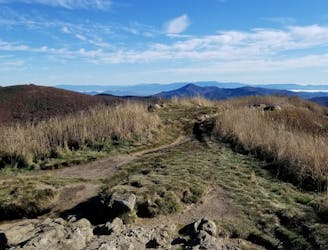
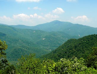
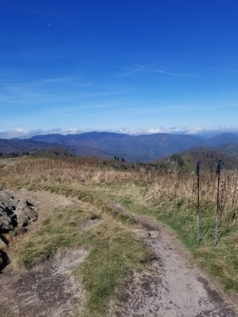
Green Knob and Mount Hardy
An all seasons route to one of the best views in Western North Carolina.
Severe Hiking
- Distance
- 15 km
- Ascent
- 598 m
- Descent
- 598 m
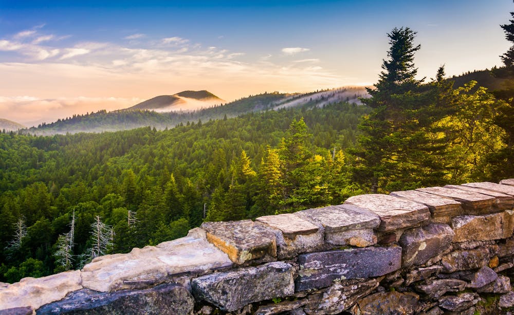
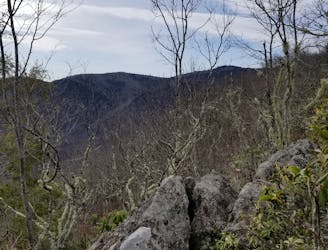
A short hike to an overlook with expansive views.
Hiking Moderate

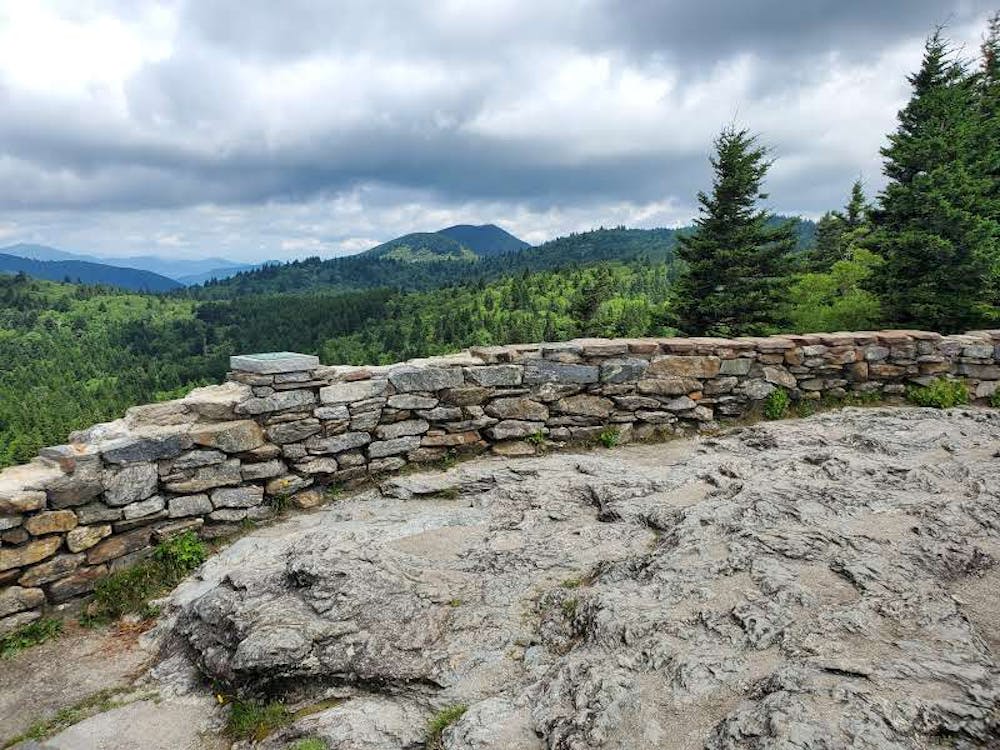
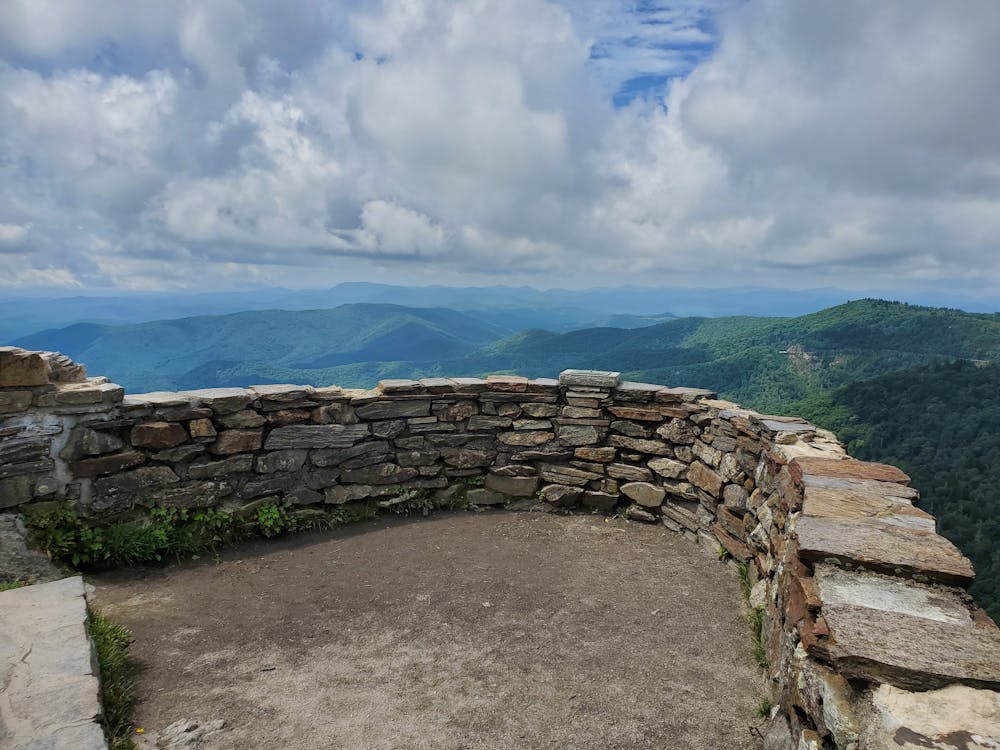
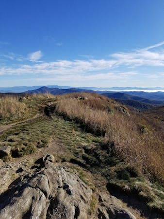
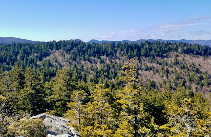
Just 1-mile round trip, Devil's Courthouse is a short hike with plenty of views. The highlight of the trail is a unique observation deck built along a bluff with phenomenal views. The climb to the viewpoint is steep, yet attainable to almost any fitness level.
According to the National Park Service, peregrine falcon nest along the cliffs of the mountain and it is illegal to venture off-trail. In the mid-to-late 1900's, commercial pesticide use greatly diminished their numbers and their population has just recently begun rising. Please be respectful of all warnings and signs along the trail.
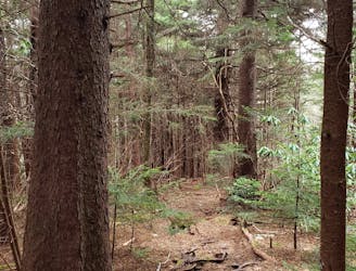
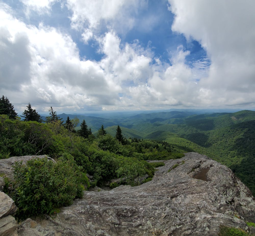
The path to the observation area is paved for the first half of the hike, then transitions to singletrack in a stand of dark spruce and fir trees. The paved portion is particularly steep and includes a couple of benches along the way should you need to catch your breath. About halfway up, you will encounter a spur trail that heads to the Mountains To Sea Trail. Keep right to follow the rugged, rocky trail to the summit. Be particularly mindful of the slick, exposed rocks that line the way.
Atop the observation platform, you're rewarded with epic views of the surrounding Blue Ridge and Pisgah National Forest. To the north, you can see down toward the parking lot where you began. Look for the placards that denote the distant peaks including Toxaway Mountain, Tanasee Bald, and Pilot Mountain - to name a few.
In the winter months, portions of the Blue Ridge Parkway frequently close do to ice and snow. If closed, park at the intersection of NC-215 and the BRP and walk along the road to the trailhead.
Moderate
Hiking along trails with some uneven terrain and small hills. Small rocks and roots may be present.

The trail contains some obstacles such as outcroppings and rock which could cause injury.
Away from help but easily accessed.
898 m away
An all seasons route to one of the best views in Western North Carolina.
Severe Hiking
2.7 km away
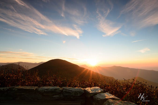
A staple hike on the Blue Ridge Parkway renowned for its endless 360-degree views.
Moderate Hiking
2.8 km away
A beautiful hike with two iconic summits, plenty of overnight camping, and year-round access.
Difficult Hiking
5 km away
A classic waterfall hike along the Blue Ridge Parkway.
Moderate Hiking
5.1 km away
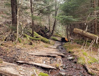
A lightly-traveled loop through an old logging area turned wilderness.
Severe Hiking
5.3 km away
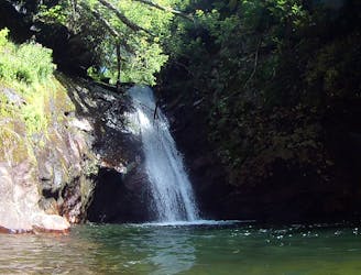
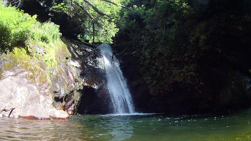
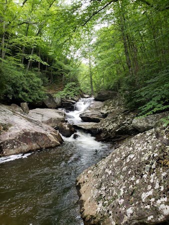
A moderate hike to a 45' waterfall and deep swimming hole.
Moderate Hiking
6.8 km away
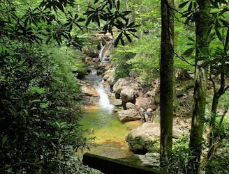
An unforgettable swimming hole, perfect for hot summer days.
Moderate Hiking
6.8 km away
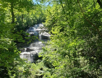
A staple hike with a 150' cascading waterfall.
Moderate Hiking
9.1 km away
A challenging summit hike to a viewpoint on Cold Mountain.
Severe Hiking
9.1 km away
An epic all-day hike, overnight trip, or trail run through Shining Rock Wilderness.
Difficult Hiking
16 routes · Hiking
6 routes · Hiking
9 routes · Hiking

10 routes · Hiking

16 routes · Hiking
3 routes · Hiking
8 routes · Hiking · Trail Running
8 routes · Hiking