1.8 km away
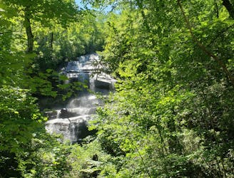
Graveyard Fields Loop
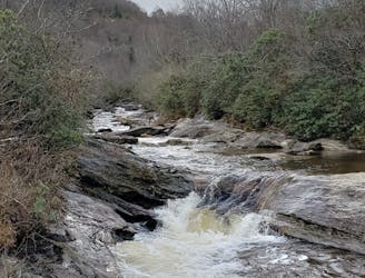
A classic waterfall hike along the Blue Ridge Parkway.
Moderate Hiking
- Distance
- 5 km
- Ascent
- 115 m
- Descent
- 115 m
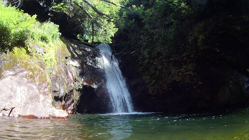
An unforgettable swimming hole, perfect for hot summer days.
Hiking Moderate

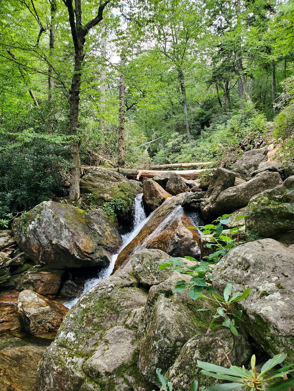
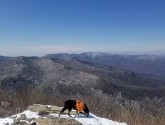
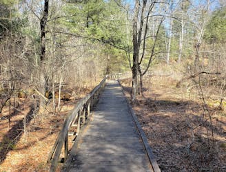
Skinny Dip Falls is a classic waterfall hike along the Blue Ridge Parkway, perfect for a hot summer day. Several swimming holes, including one that's ~6 feet deep, make it a popular summer destination for the entire family - including the dog.
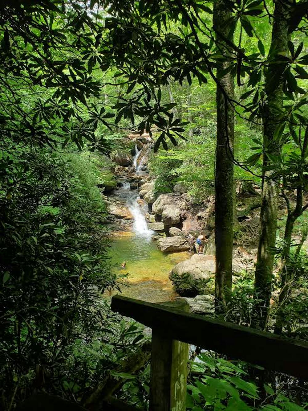
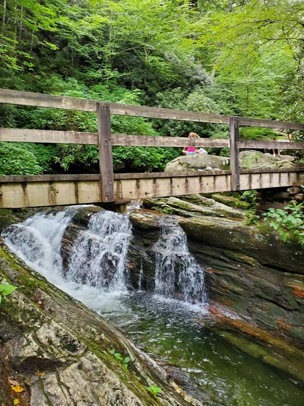
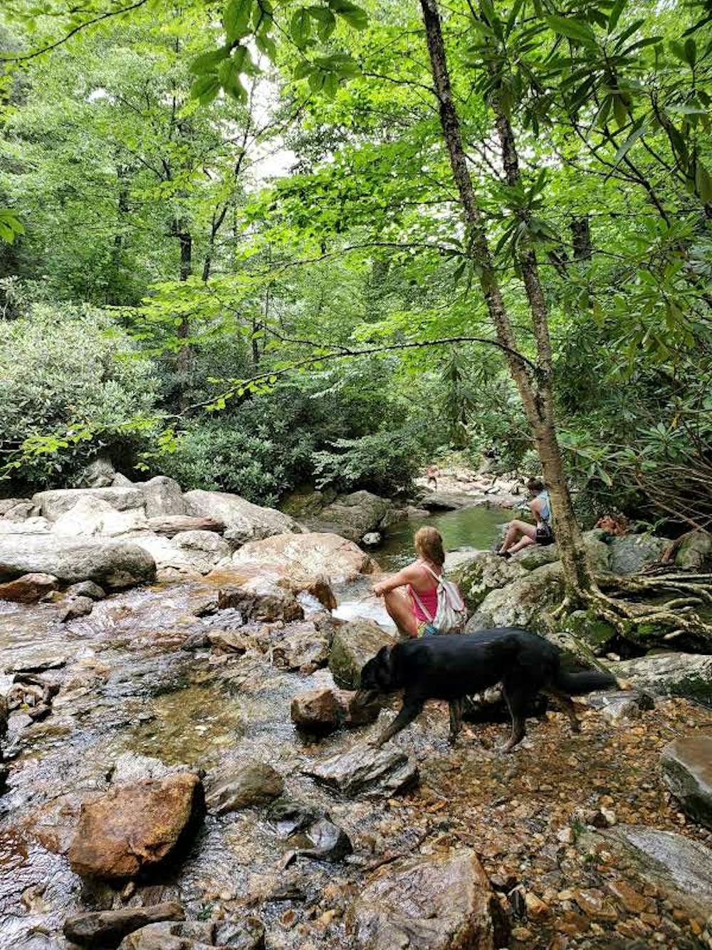
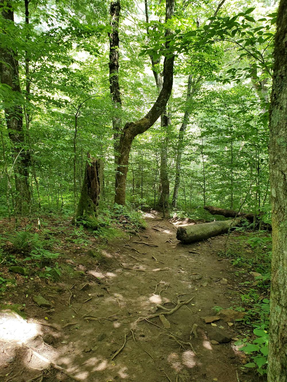
The short hike begins at milepost 417 along the Blue Ridge Parkway, also known as the Looking Glass Rock Overlook. The parking lot is often overflowing during peak summertime, so get an early start to the day to avoid the excessive crowds. Roadside parking and overflow parking area can be found just beyond the overlook.
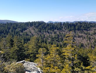
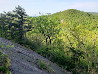
To begin the hike, cross the road and look for the sign denoting the path to the MST (Mountains to Sea Trail). Nearly 1,200 miles long, the MST connects the Great Smoky Mountains National Park to the Outer Banks and this hike follows it's white circular blazes to the swimming hole. This particular segment is very gradual, with only occasional rocks and roots lining the way. Most would consider the hike easy-to-moderate.
There is no running water or restrooms at the trailhead, no fee to access the falls, and no lifeguard on duty. Just a short drive up the road, the iconic Graveyard Fields is another popular destination for a day hike to a waterfall. You can find vault toilets there, but no water.
Sources: https://www.romanticasheville.com/skinnydipfalls.htm
Moderate
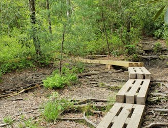
Hiking along trails with some uneven terrain and small hills. Small rocks and roots may be present.

The trail contains some obstacles such as outcroppings and rock which could cause injury.
Away from help but easily accessed.
1.8 km away
A classic waterfall hike along the Blue Ridge Parkway.
Moderate Hiking
4.2 km away
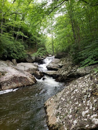
A staple hike with a 150' cascading waterfall.
Moderate Hiking
4.4 km away
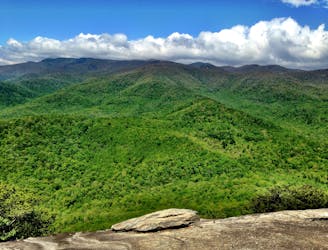
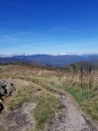
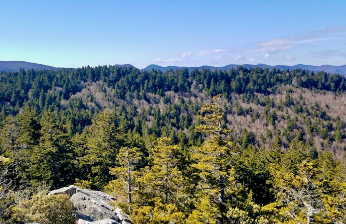
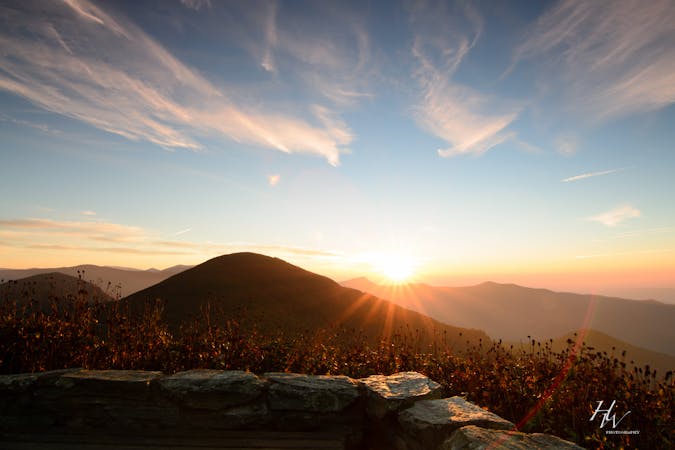
A staple hike on the Blue Ridge Parkway renowned for its endless 360-degree views.
Moderate Hiking
4.9 km away
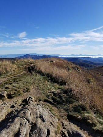
A beautiful hike with two iconic summits, plenty of overnight camping, and year-round access.
Difficult Hiking
4.9 km away
A challenging and incredibly-steep approach to Shining Rock.
Severe Hiking
5.4 km away
An adventurous and incredibly challenging hike requiring the use of fixed ropes to ascend Cedar Rock Mountain.
Extreme Hiking
5.4 km away
A classic route from the fish hatchery with phenomenal views from John Rock.
Moderate Hiking
5.7 km away
A beautiful, family-friendly hike through the historic Pink Beds Valley.
Easy Hiking
5.8 km away
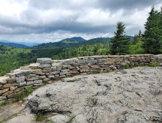
Hike to one of the most impressive viewpoints in Pisgah National Forest.
Difficult Hiking
6.8 km away
A short hike to an overlook with expansive views.
Moderate Hiking
16 routes · Hiking
6 routes · Hiking
9 routes · Hiking

10 routes · Hiking

16 routes · Hiking
3 routes · Hiking
8 routes · Hiking · Trail Running
8 routes · Hiking