2 m away
John Rock
A classic route from the fish hatchery with phenomenal views from John Rock.
Moderate Hiking
- Distance
- 9.3 km
- Ascent
- 406 m
- Descent
- 406 m
An adventurous and incredibly challenging hike requiring the use of fixed ropes to ascend Cedar Rock Mountain.
Hiking Extreme

When Cedar Rock comes up in conversation, nearly everyone thinks of the trail in Dupont- a west-coast style slickrock trail with astounding views. Just a short drive down the road and lesser visited, Cedar Rock Mountain in Pisgah National Forest offers an epic hiking experience with views that rival other overlook trails in the region. Though all these trails are dog friendly, we highly recommend leaving your four-legged friend at home for this one.
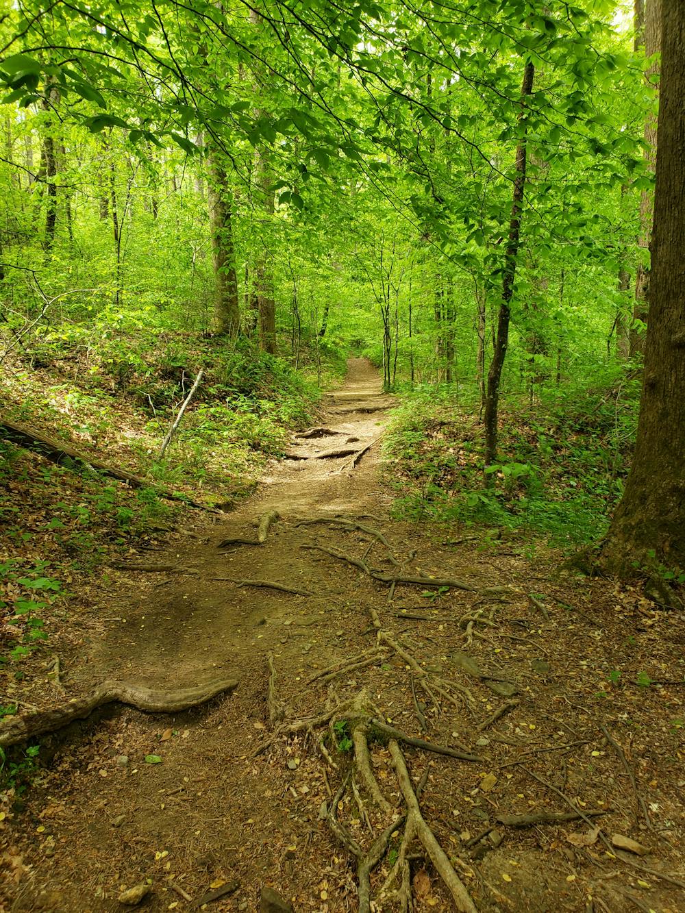
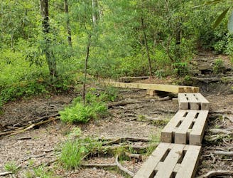
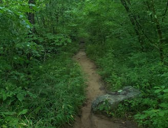
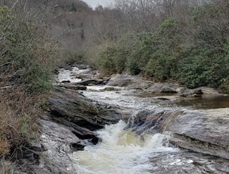
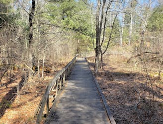
This hike begins the same trailhead as the classic John Rock loop. Leaving the Fish Hatchery, the trail crosses the river and follows Cat Gap Loop southwest. At the junction with Butter Gap, take the right and follow it to Cedar Rock.
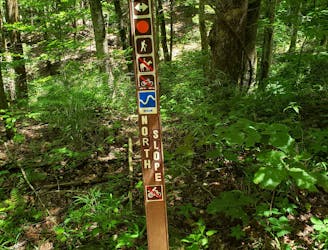
Butter Gap Trail terminates at a rather confusing trail junction. The Art Loeb, Cedar Rock Mountain Trail, and two old roads intersect here, and several side trails lead to nearby campsites. Art Loeb thru-hikers often choose this area for an overnight stop. Rumor has it that Cedar Rock Mountain Trail was the original route for the Art Loeb, which now skirts around the base of the rock.
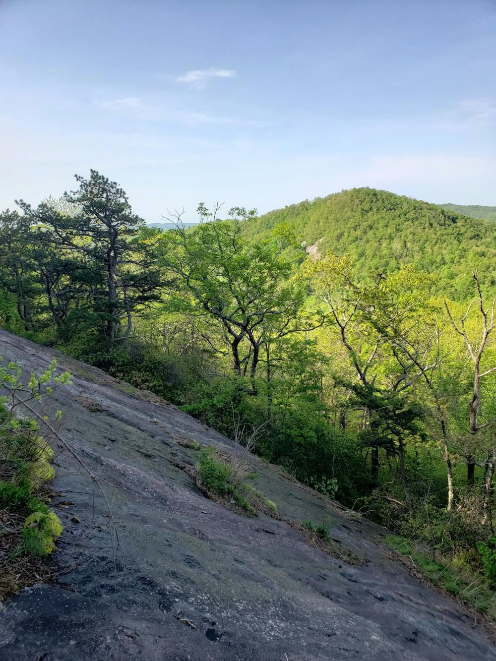
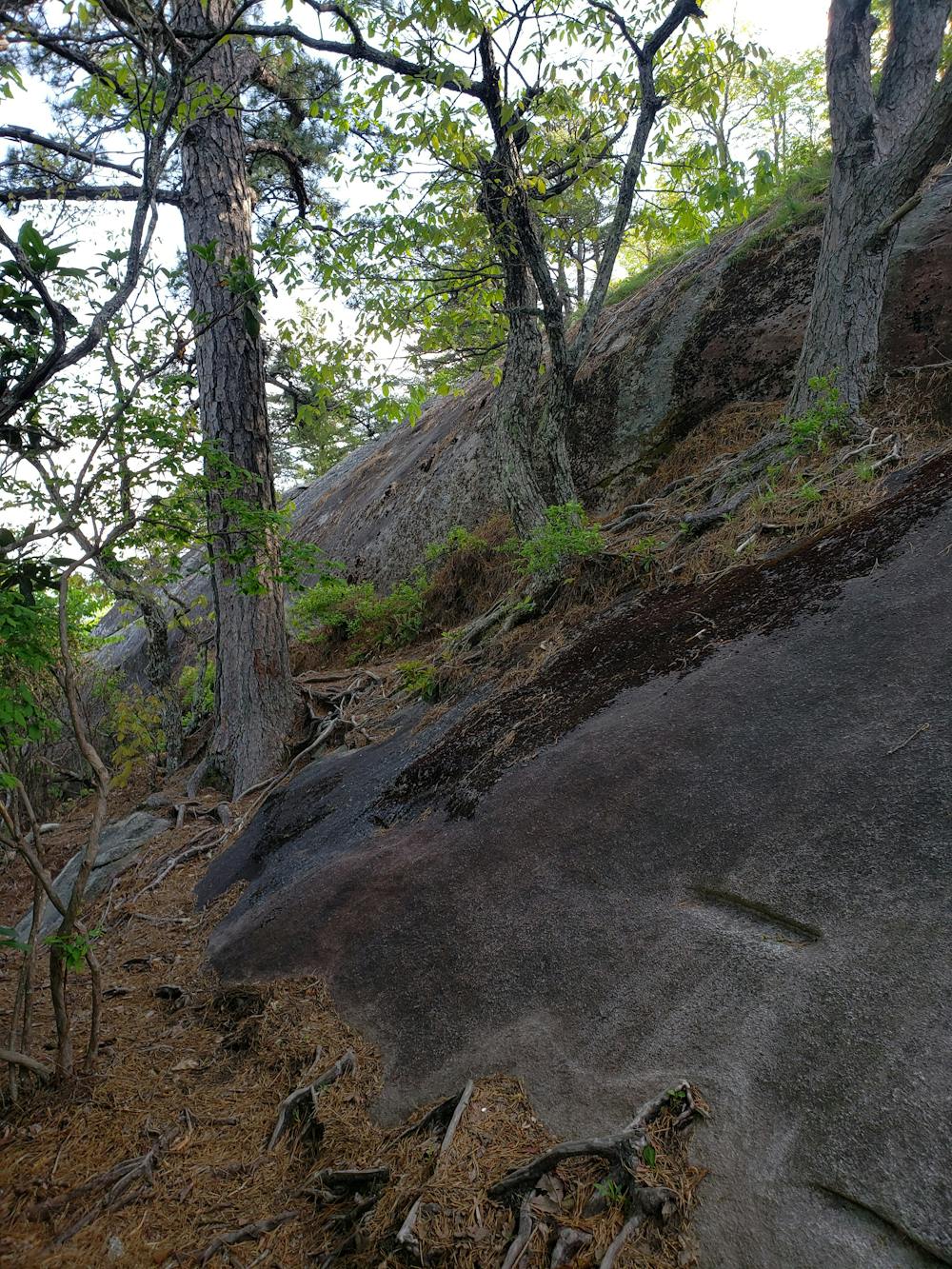
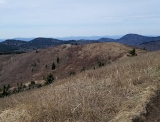
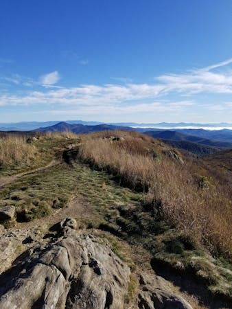
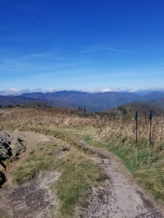
If you brought hiking poles, now is the time to stash them. Ahead, a series of fixed ropes assists hikers through multiple class 3 and 4 slabs, all of which can be navigated without climbing gear. As you ascend, don't forget to turn around and soak in the unadulterated views of the Great Balsam Range in the distance.
As you approach the high point of Cedar Rock Mountain, be mindful of the countless side trails that lead off the path. Rock climbers frequent the eastern face of Cedar Rock and many of these trails lead to climbing routes, where appropriate gear is required. After cresting the summit, the trail descends steeply and merges back onto the Art Loeb.
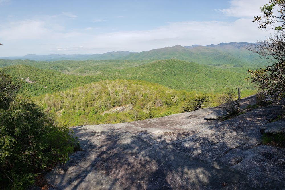
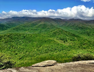
Heading northeast, the route crosses through two more intersections, both with limited trail markings. If you have the time, pay a visit to John Rock to finish up your loop. An exposed vista with views towards Pink Beds Valley make this a popular destination for the entire family.
Extreme
Scrambling up mountains and along technical trails with moderate fall exposure. Handholds are necessary to navigate the trail in its entirety, although they are not necessary at all times. Some obstacles can be very large and difficult to navigate, and the grades can often be near-vertical. The challenge of the trail and the steepness of the grade results in very strenuous hiking. Hikes of this difficulty blur the lines between "hiking" and "climbing".

Some trail sections are extremely exposed where falling will almost certainly result in serious injury or death.

Little chance of being seen or helped in case of an accident.
2 m away
A classic route from the fish hatchery with phenomenal views from John Rock.
Moderate Hiking
1.6 km away
Hike to one of the most impressive viewpoints in Pisgah National Forest.
Difficult Hiking
2.7 km away
A short hike originating at a picnic area along the Davidson River.
Moderate Hiking
3.4 km away
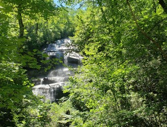
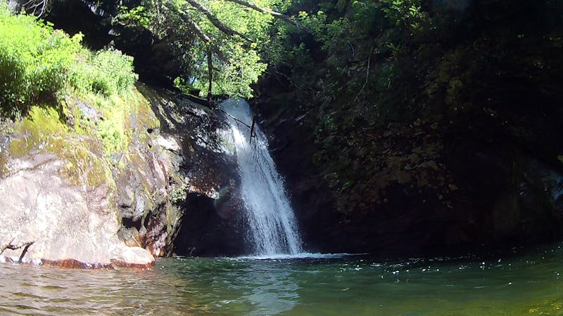
A staple hike with a 150' cascading waterfall.
Moderate Hiking
5.4 km away
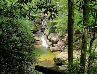
An unforgettable swimming hole, perfect for hot summer days.
Moderate Hiking
6.4 km away
A classic waterfall hike along the Blue Ridge Parkway.
Moderate Hiking
6.5 km away

A short, quiet hike on the edge of town.
Moderate Hiking
6.5 km away
A challenging and scenic route through Pisgah National Forest best-known for its traverse through the Shining Rock Wilderness.
Extreme Hiking
6.5 km away
A challenging hike through dense tunnels of rhododendron.
Difficult Hiking
7.8 km away
A beautiful, family-friendly hike through the historic Pink Beds Valley.
Easy Hiking
16 routes · Hiking
6 routes · Hiking
9 routes · Hiking

10 routes · Hiking

16 routes · Hiking
8 routes · Hiking · Trail Running