2 m away
Art Loeb Trail
A challenging and scenic route through Pisgah National Forest best-known for its traverse through the Shining Rock Wilderness.
Extreme Hiking
- Distance
- 46 km
- Ascent
- 2.7 km
- Descent
- 2.3 km
A challenging hike through dense tunnels of rhododendron.
Hiking Difficult

Located just a few minutes from Pisgah Forest and Brevard, this is a beautiful hike through dense tunnels of rhododendron. It's also one of the best marked routes near town, making it hard to get lost.
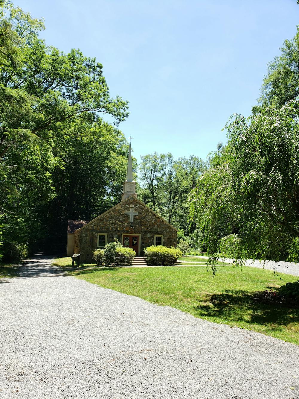
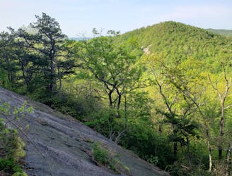
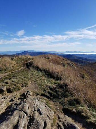
Nearly 31 miles, the Art Loeb is possibly the most recognized trail in Pisgah National Forest. The northern terminus of the trail is the Daniel Boone Boy Scout Camp near Waynesville, while the southern terminus is at the Davidson River Campground just a short drive from Brevard. This loop Pairs the North Slope Trail with a few miles of the Art Loeb near Davidson River Campground.
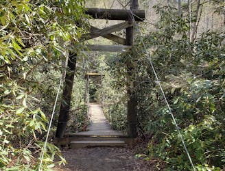
Beginning at the Davidson River Campground, the loop is most often hiked clockwise. The Art Loeb follows the river east, crossing a picturesque foot bridge along the way. Shortly after, the Estatoe Trail heads into town, while the Art Loeb climbs up to the right.
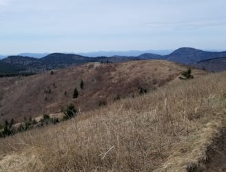
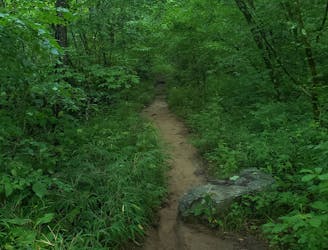
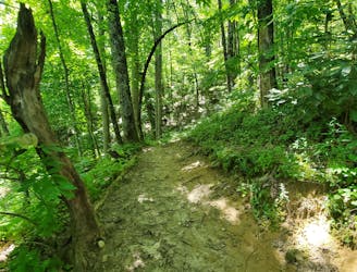
The first half of this route is a quad-busting roller coaster over several small unnamed peaks. The trail is lined with dense rhododendron and gnarled, exposed roots define most of the path. At the gravel road, the trail continues straight ahead and begins another demanding climb.
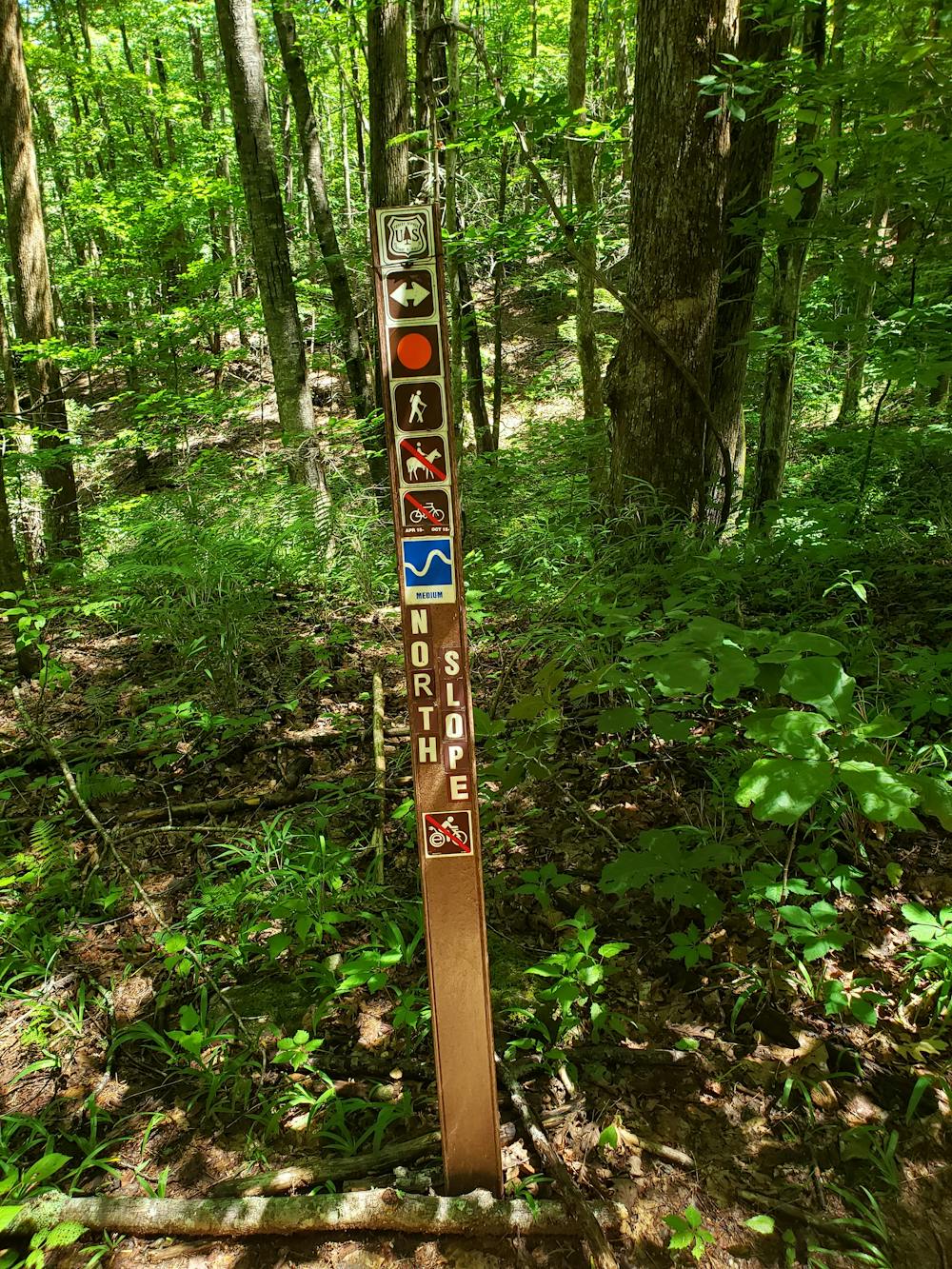
After reaching the crest of the climb, the trail descends into a small gap that is frequented by campers. From here, you have just one more short climb before taking a right onto the North Slope Trail.
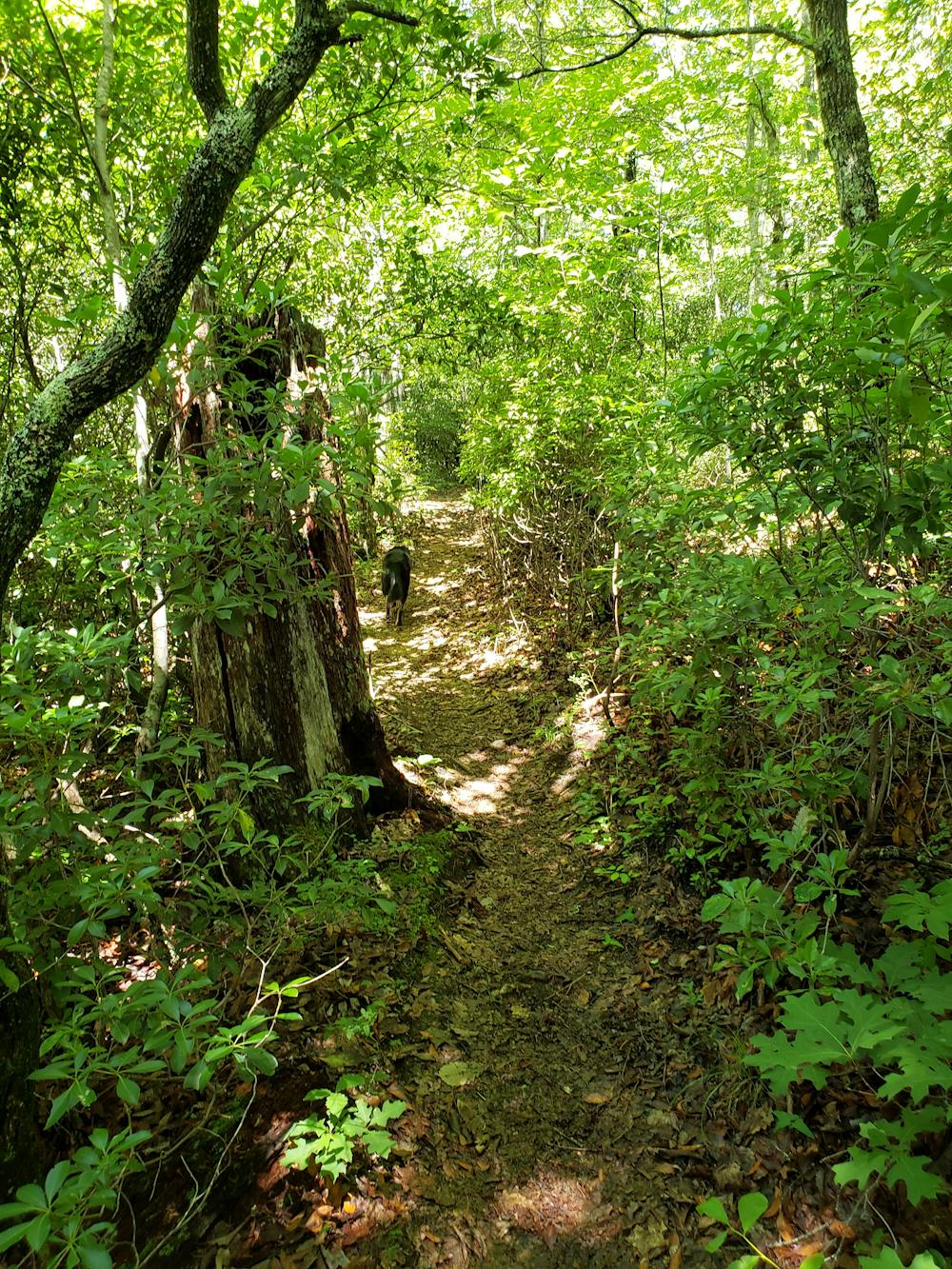
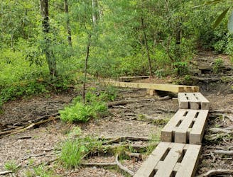
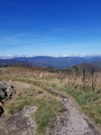
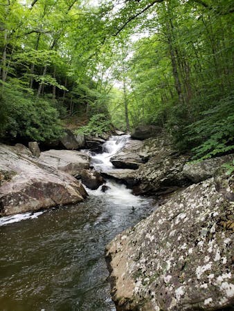
Steep at first, the trail gently winds its way through a cove as it parallels the runoff from a mountain stream. Be sure to filter any water before you drink it.
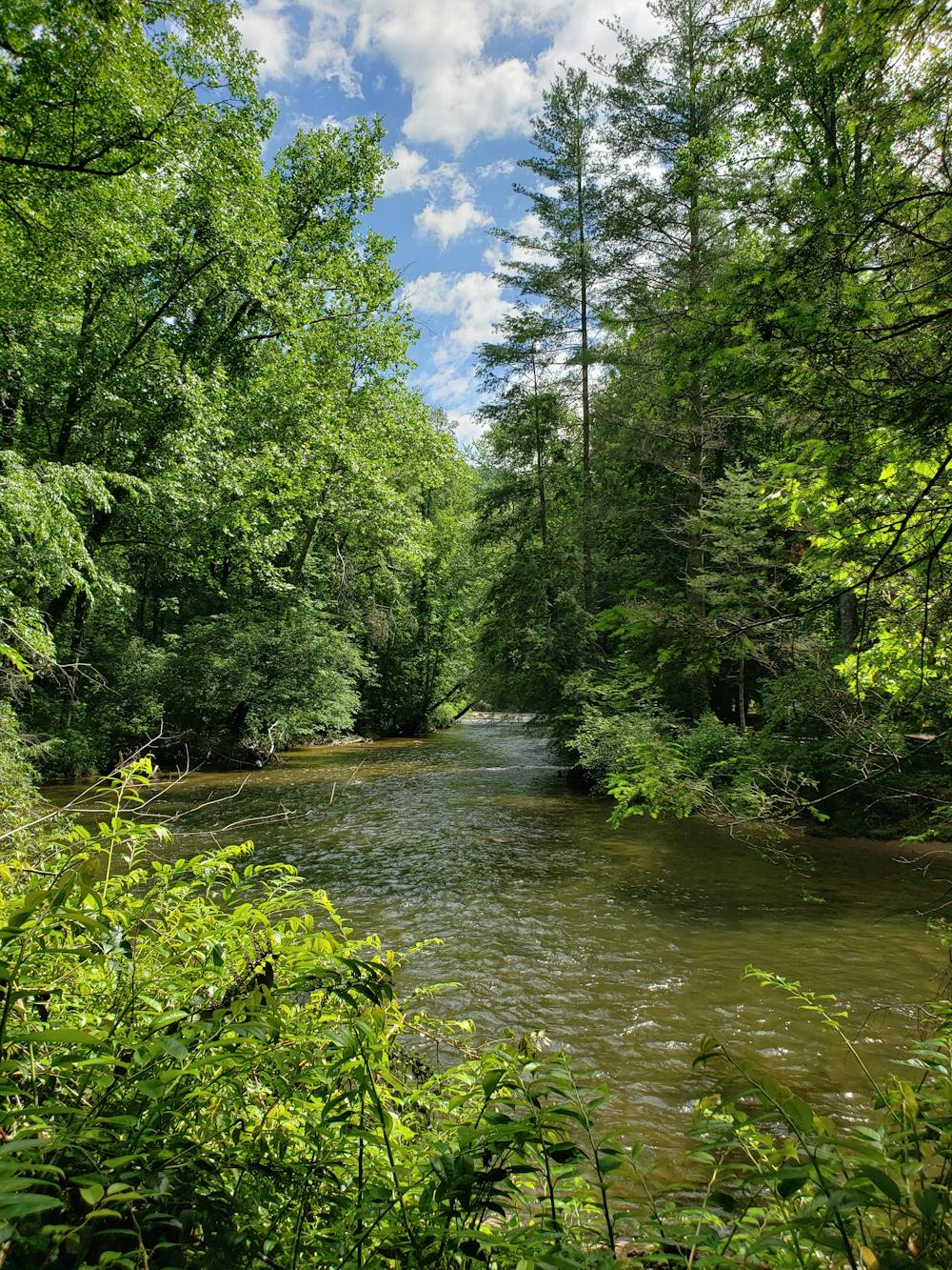
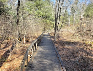
Ahead, you have the choice to return to the trailhead on either portion of the North Slope Loop. To the right, the path meanders its way along the slope of the mountain with some occasional climbs and descents. To the left, the trail gradually descends to the river as it joins onto an old road bed. Most prefer the latter.
The final portion of the hike parallels the Davidson River Campground and requires a short road walk to connect back to the trailhead.
Difficult
Hiking trails where obstacles such as rocks or roots are prevalent. Some obstacles can require care to step over or around. At times, the trail can be worn and eroded. The grade of the trail is generally quite steep, and can often lead to strenuous hiking.

The trail contains some obstacles such as outcroppings and rock which could cause injury.
Away from help but easily accessed.
2 m away
A challenging and scenic route through Pisgah National Forest best-known for its traverse through the Shining Rock Wilderness.
Extreme Hiking
12 m away

A short, quiet hike on the edge of town.
Moderate Hiking
3.9 km away
A short hike originating at a picnic area along the Davidson River.
Moderate Hiking
5.2 km away
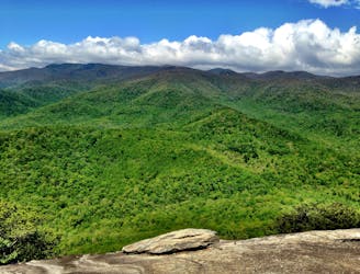
Hike to one of the most impressive viewpoints in Pisgah National Forest.
Difficult Hiking
6.5 km away
A classic route from the fish hatchery with phenomenal views from John Rock.
Moderate Hiking
6.5 km away
An adventurous and incredibly challenging hike requiring the use of fixed ropes to ascend Cedar Rock Mountain.
Extreme Hiking
8.8 km away
A quiet hike along historic logging paths in Turkey Pen.
Moderate Hiking
8.8 km away
An hike in Turkey Pen pairing an old roadbed to a technical ridgetop traverse.
Difficult Hiking
9.5 km away
A beautiful, family-friendly hike through the historic Pink Beds Valley.
Easy Hiking
9.8 km away
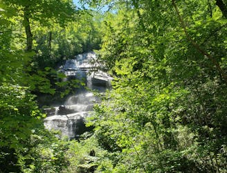
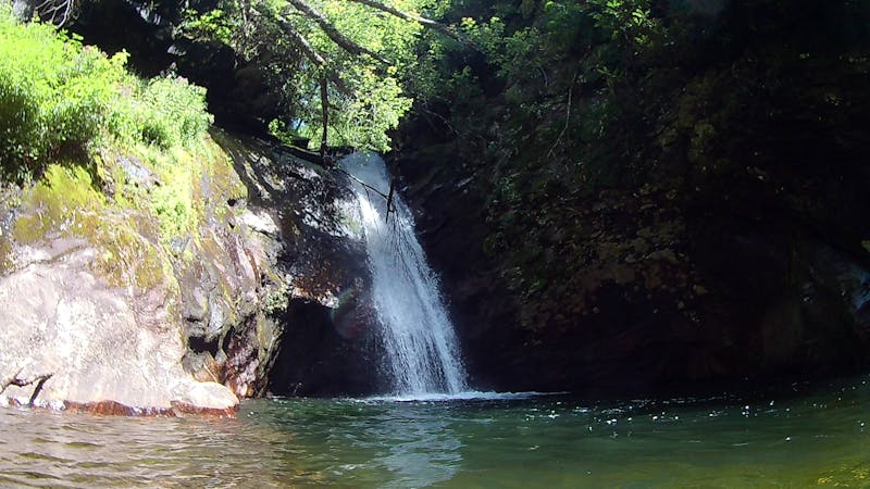
A staple hike with a 150' cascading waterfall.
Moderate Hiking
16 routes · Hiking
6 routes · Hiking
9 routes · Hiking
8 routes · Hiking · Trail Running