2 m away
Turkey Pen Loop
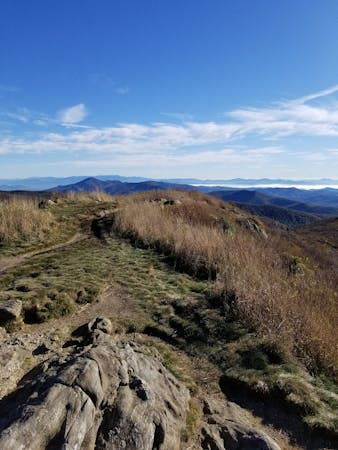
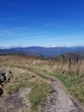
An hike in Turkey Pen pairing an old roadbed to a technical ridgetop traverse.
Difficult Hiking
- Distance
- 10 km
- Ascent
- 421 m
- Descent
- 421 m
A quiet hike along historic logging paths in Turkey Pen.
Hiking Moderate

Part of Pisgah National Forest, Turkey Pen is a unique area known for its solitude and remoteness. Most trails hold deep roots in former logging operations, many originally utilized by leased railroad equipment. Steam engines would haul logged material to one of several places, with lines reaching as far as Black Balsam Knob and Graveyard Fields - two other popular hikes in Pisgah.
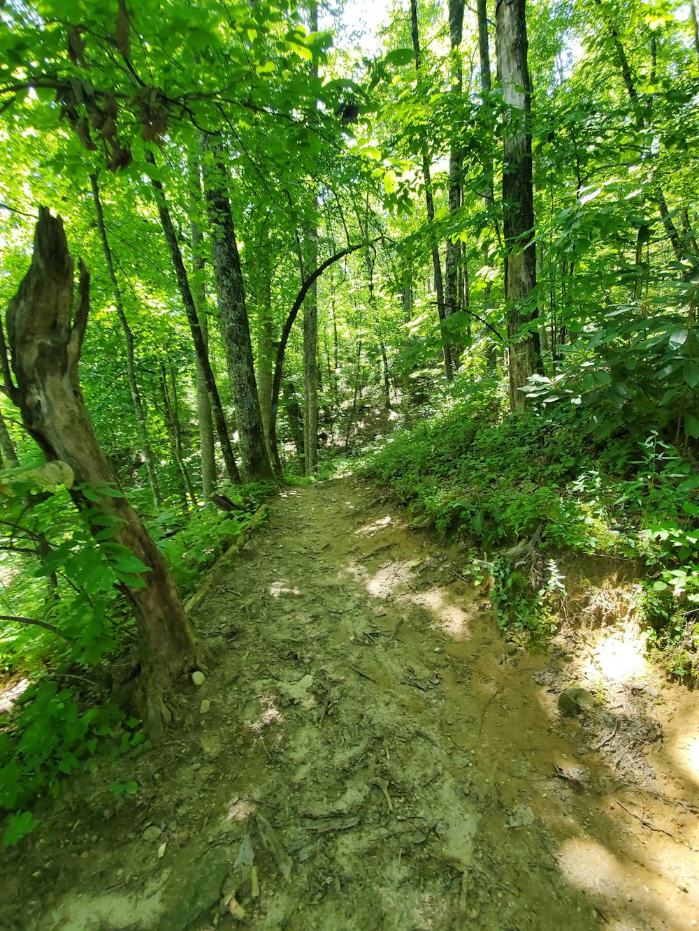
This hike begins at the Turkey Pen trailhead at the end of Turkey Pen Road. The unpaved road is narrow at times and riddled with potholes. Use caution and know that you may encounter vehicles towing horse trailers as you drive it. At the parking area, look for a painted line in the gravel separating the horse trailers from smaller vehicles.
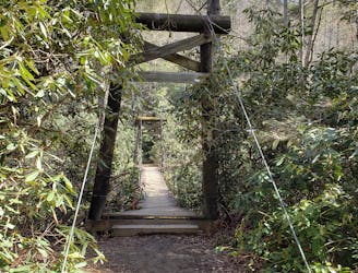
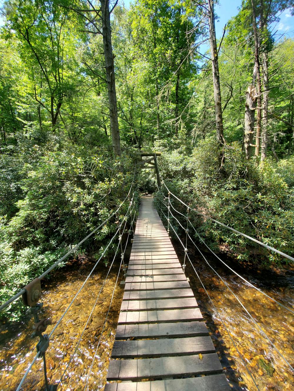
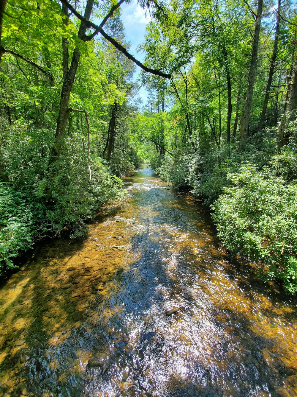
Begin your hike to the left of the kiosk. The loop first heads down to the South Fork of Mills River then crosses it over a suspension bridge. Equestrian users utilize a ford just beyond the bridge. Once you're across, take a hard left to continue on the South Mills River Trail.
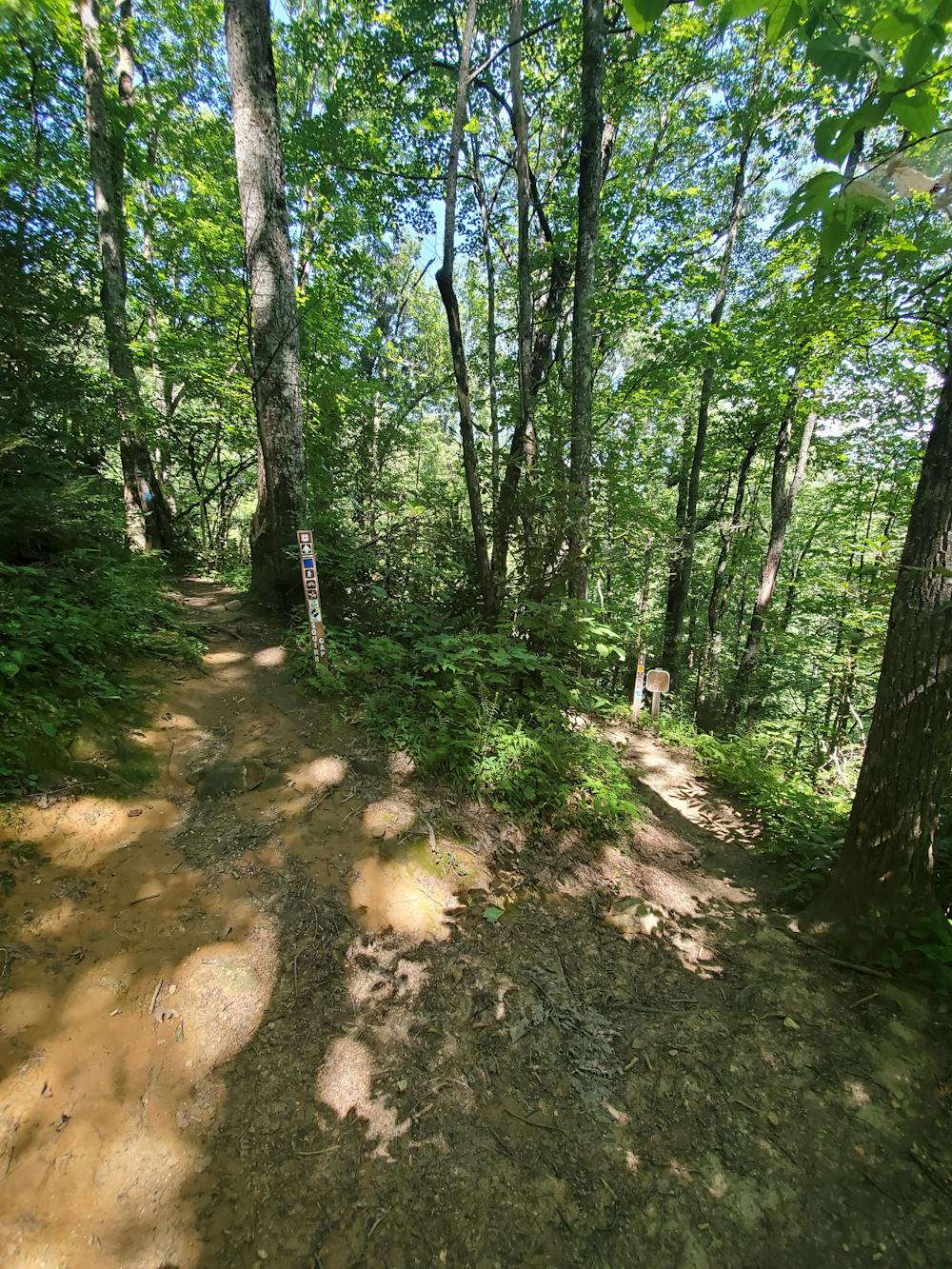
From here, you can complete the loop in either direction. Counter-clockwise, you will climb up Mullinax to Squirrel Gap, then return on Poundingmill. Several old forums list an abandoned steam locomotive in a ravine off of Mullinax. As of 2019 though, it appears to have been either removed or completely overgrown and unrecognizable.
The return trip down Poundingmill is steep at first, then steady as it follows the drainage of a mountain stream. Expect you may get your feet wet after recent rain.
If you'd like to turn this into an overnight trip, South Mills River Trail offers several primitive camping opportunities on the return trip. Should you head further up the trail away from this mapped loop, you can find even more. Few venture this far though as the trek requires multiple wet crossings of the river, many of which are waist deep.
Moderate
Hiking along trails with some uneven terrain and small hills. Small rocks and roots may be present.

The trail contains some obstacles such as outcroppings and rock which could cause injury.

Little chance of being seen or helped in case of an accident.
2 m away
An hike in Turkey Pen pairing an old roadbed to a technical ridgetop traverse.
Difficult Hiking
5.6 km away
A gem of a hike showcasing some of the best features in Pisgah National Forest.
Difficult Hiking
8.8 km away
A challenging and scenic route through Pisgah National Forest best-known for its traverse through the Shining Rock Wilderness.
Extreme Hiking
8.8 km away
A challenging hike through dense tunnels of rhododendron.
Difficult Hiking
8.8 km away

A short, quiet hike on the edge of town.
Moderate Hiking
16 routes · Hiking
9 routes · Hiking