10 m away
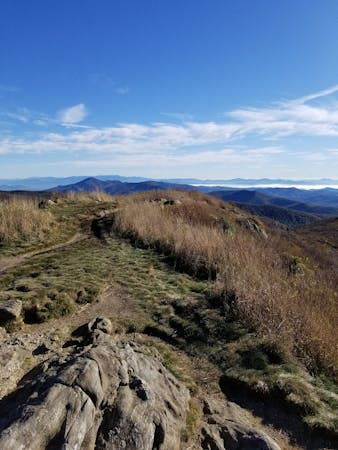
Art Loeb Trail
A challenging and scenic route through Pisgah National Forest best-known for its traverse through the Shining Rock Wilderness.
Extreme Hiking
- Distance
- 46 km
- Ascent
- 2.7 km
- Descent
- 2.3 km
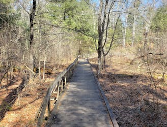
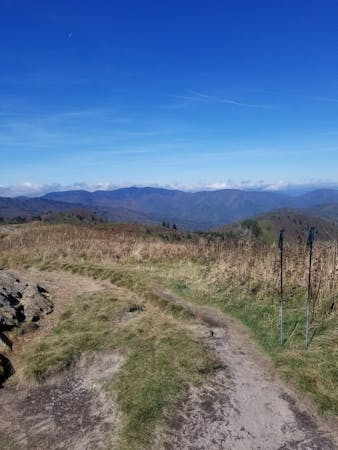
A short, quiet hike on the edge of town.
Hiking Moderate

Whether you're camping at the Davidson River Campground, or a local looking to break up a monotonous afternoon, this is an excellent short hike less than a 5-minute drive from the entrance of Pisgah National Forest. Bring the entire family along, including the dog, and enjoy the lush, serene flora that blanket the mountainside. Though close to town, Johnson Mountain separates the cove from town and this loop has a much more remote feel than you would imagine.
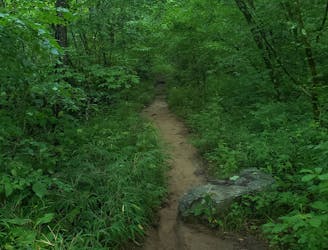
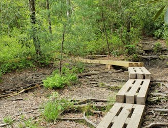
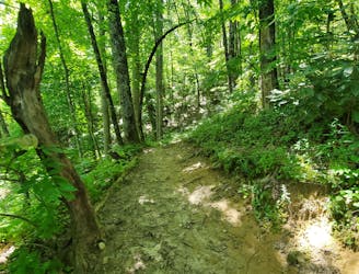
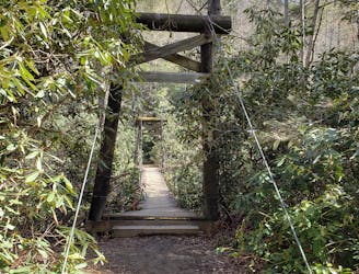
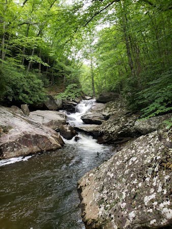
The hike can be characterized into two portions. If hiked clockwise, you begin with a steady climb that follows Starnes Branch upward into the cove. The trail crosses it multiple times, but most can be tackled without getting your feet wet. Beautiful mountain laurel and rhododendron line the path as well and are particularly spectacular in the spring and summer. Large hemlock trees are also prevalent along this stretch.
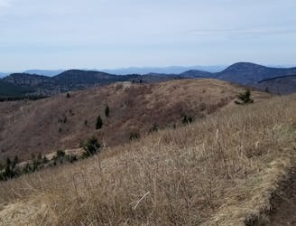
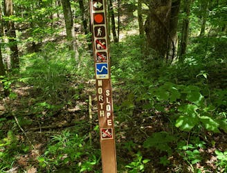
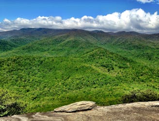
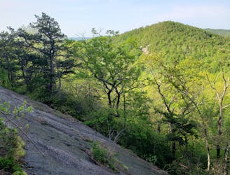
Keep right at the junction with Grassy Road Trail. The return portion of the hike hugs the contours of the mountain and offers some seasonal views of nearby peaks - including Pilot Mountain. As you hike, enjoy the vast selection of flora and fauna that blanket the trail, especially near the top of the ridge. Much of the area was logged in the early 1900's and now defined by a new growth hardwood forest.
Sources: https://www.fs.usda.gov/recarea/nfsnc/recreation/recarea/?recid=48338&actid=50 https://www.hikewnc.info/trails/davidson-river/sycamore-cove
Moderate
Hiking along trails with some uneven terrain and small hills. Small rocks and roots may be present.

The trail contains some obstacles such as outcroppings and rock which could cause injury.
Away from help but easily accessed.
10 m away
A challenging and scenic route through Pisgah National Forest best-known for its traverse through the Shining Rock Wilderness.
Extreme Hiking
12 m away
A challenging hike through dense tunnels of rhododendron.
Difficult Hiking
3.9 km away
A short hike originating at a picnic area along the Davidson River.
Moderate Hiking
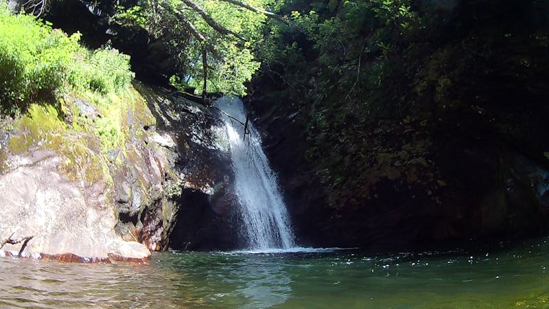
5.2 km away
Hike to one of the most impressive viewpoints in Pisgah National Forest.
Difficult Hiking
6.5 km away
A classic route from the fish hatchery with phenomenal views from John Rock.
Moderate Hiking
6.5 km away
An adventurous and incredibly challenging hike requiring the use of fixed ropes to ascend Cedar Rock Mountain.
Extreme Hiking
8.8 km away
A quiet hike along historic logging paths in Turkey Pen.
Moderate Hiking
8.8 km away
An hike in Turkey Pen pairing an old roadbed to a technical ridgetop traverse.
Difficult Hiking
9.5 km away
A beautiful, family-friendly hike through the historic Pink Beds Valley.
Easy Hiking
9.8 km away
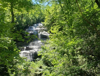
A staple hike with a 150' cascading waterfall.
Moderate Hiking
16 routes · Hiking
6 routes · Hiking
9 routes · Hiking
8 routes · Hiking · Trail Running