2 m away
Poundingmill / Mullinax Loop
A quiet hike along historic logging paths in Turkey Pen.
Moderate Hiking
- Distance
- 10 km
- Ascent
- 391 m
- Descent
- 391 m
An hike in Turkey Pen pairing an old roadbed to a technical ridgetop traverse.
Hiking Difficult

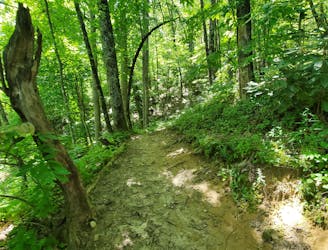
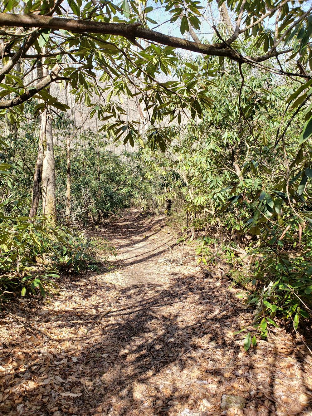
Located halfway between Mills River and Brevard, locals affectionately refer to this area as "Turkey Pen". Encompassed within the 500,000+ acre Pisgah National Forest, this pocket of trails provides unique flora and fauna atypical of the rest of the forest. Just beyond this loop, the South Mills River carved its way through the mountains, creating a topography reminiscent of a gorge. Dense fields of mountain laurel and rhododendron also blanket the area, making it popular among outdoor adventurers.
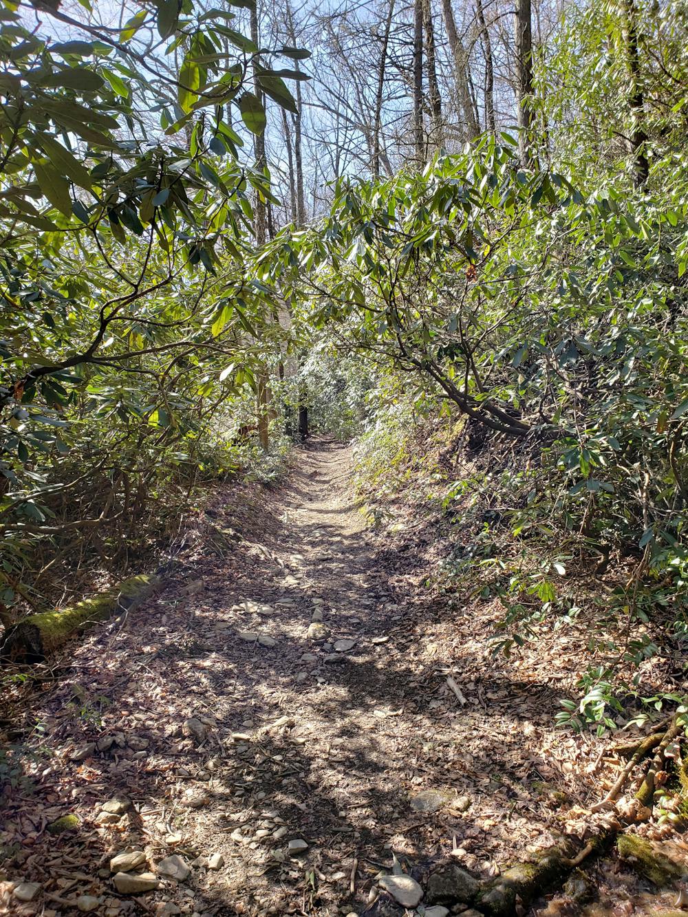
This loop is one of the best ways to sample Turkey Pen and begins at the Turkey Pen trailhead at the end of Turkey Pen Road. The drive up the road is unpaved and narrow, and should not be attempted by larger vehicles or trailers unless you've been up it before.
This route can be hiked in either direction, though counter-clockwise would be considered slightly easier. This way, you'll begin with brief descent before climbing steadily along a former roadbed. To your left, the South Mills River provides a relaxing backdrop for a hike.
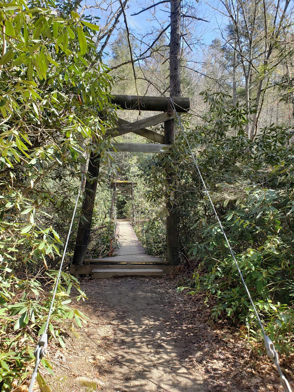
After a couple miles, this loop takes an abrupt left into an area frequented by campers. The Wagon Road Gap Trail passes through the clearing then climbs its way to a ridge. A mountain stream drains adjacent to the trail so expect to get your feet wet after recent rains.
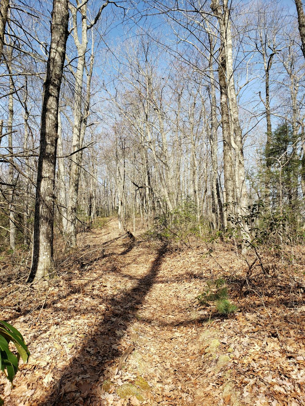
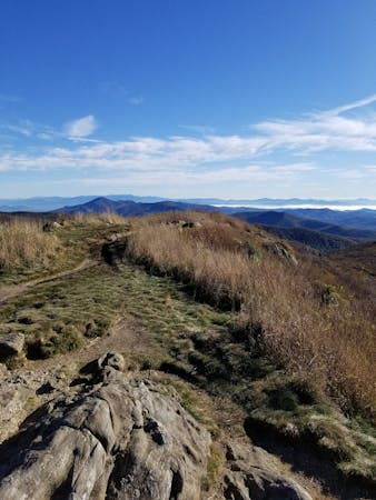
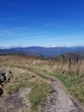
Upon reaching the ridge, take a left and follow the Turkey Pen Gap Trail back as it traverses a winding ridge. Several stretches can be quite steep and three points of contact may be needed at times. Some partial views to the south and east also present themselves, particularly in the winter months.
Difficult
Hiking trails where obstacles such as rocks or roots are prevalent. Some obstacles can require care to step over or around. At times, the trail can be worn and eroded. The grade of the trail is generally quite steep, and can often lead to strenuous hiking.

The trail contains some obstacles such as outcroppings and rock which could cause injury.

Little chance of being seen or helped in case of an accident.
2 m away
A quiet hike along historic logging paths in Turkey Pen.
Moderate Hiking
5.6 km away
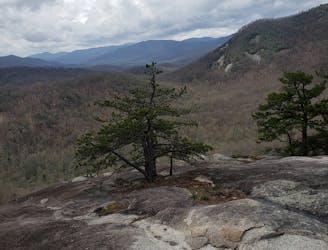
A gem of a hike showcasing some of the best features in Pisgah National Forest.
Difficult Hiking
8.8 km away
A challenging and scenic route through Pisgah National Forest best-known for its traverse through the Shining Rock Wilderness.
Extreme Hiking
8.8 km away
A challenging hike through dense tunnels of rhododendron.
Difficult Hiking
8.8 km away

A short, quiet hike on the edge of town.
Moderate Hiking
16 routes · Hiking
9 routes · Hiking