2 m away
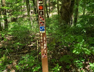
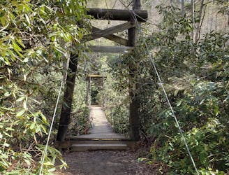
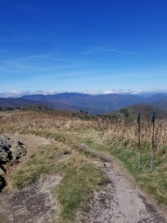
North Slope / Art Loeb Loop
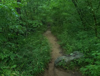
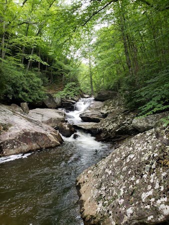
A challenging hike through dense tunnels of rhododendron.
Difficult Hiking
- Distance
- 11 km
- Ascent
- 506 m
- Descent
- 506 m
A challenging and scenic route through Pisgah National Forest best-known for its traverse through the Shining Rock Wilderness.
Hiking Extreme

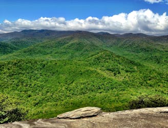
Known as one of the best backpacking routes within Pisgah National Forest, the Art Loeb Trail traverses from Daniel Boone Boy Scout Camp, across Shining Rock Ridge, and into the valley below, where it ends near the popular tourist town of Brevard. At roughly 30 miles, the route is often taken over a period of two or three days, or one for an experienced ultrarunner. Multiple lean-to shelters and countless primitive camping areas make it a great route to highlight some of the best Appalachian balds in the region.
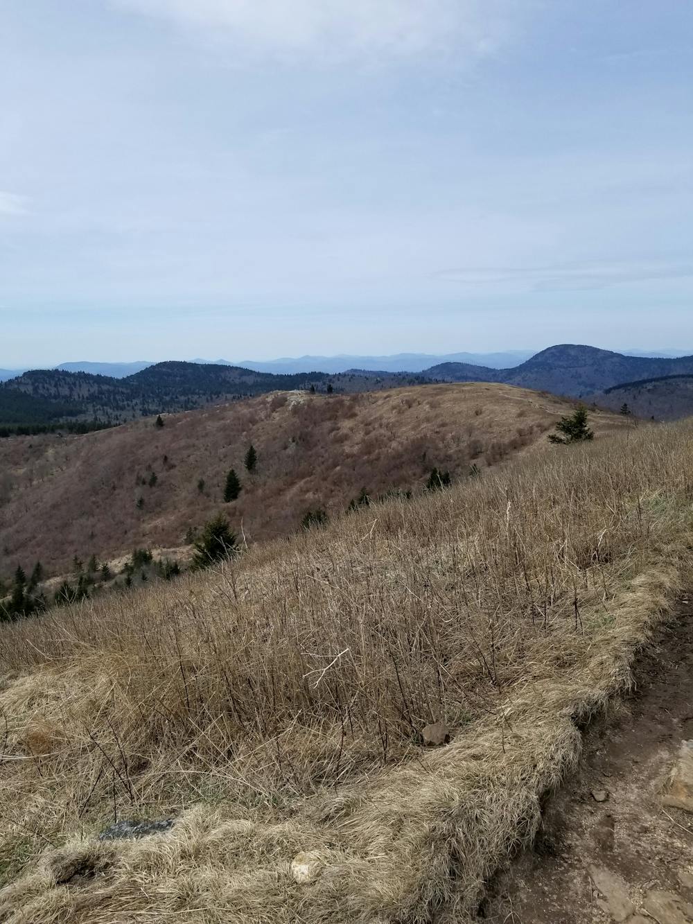


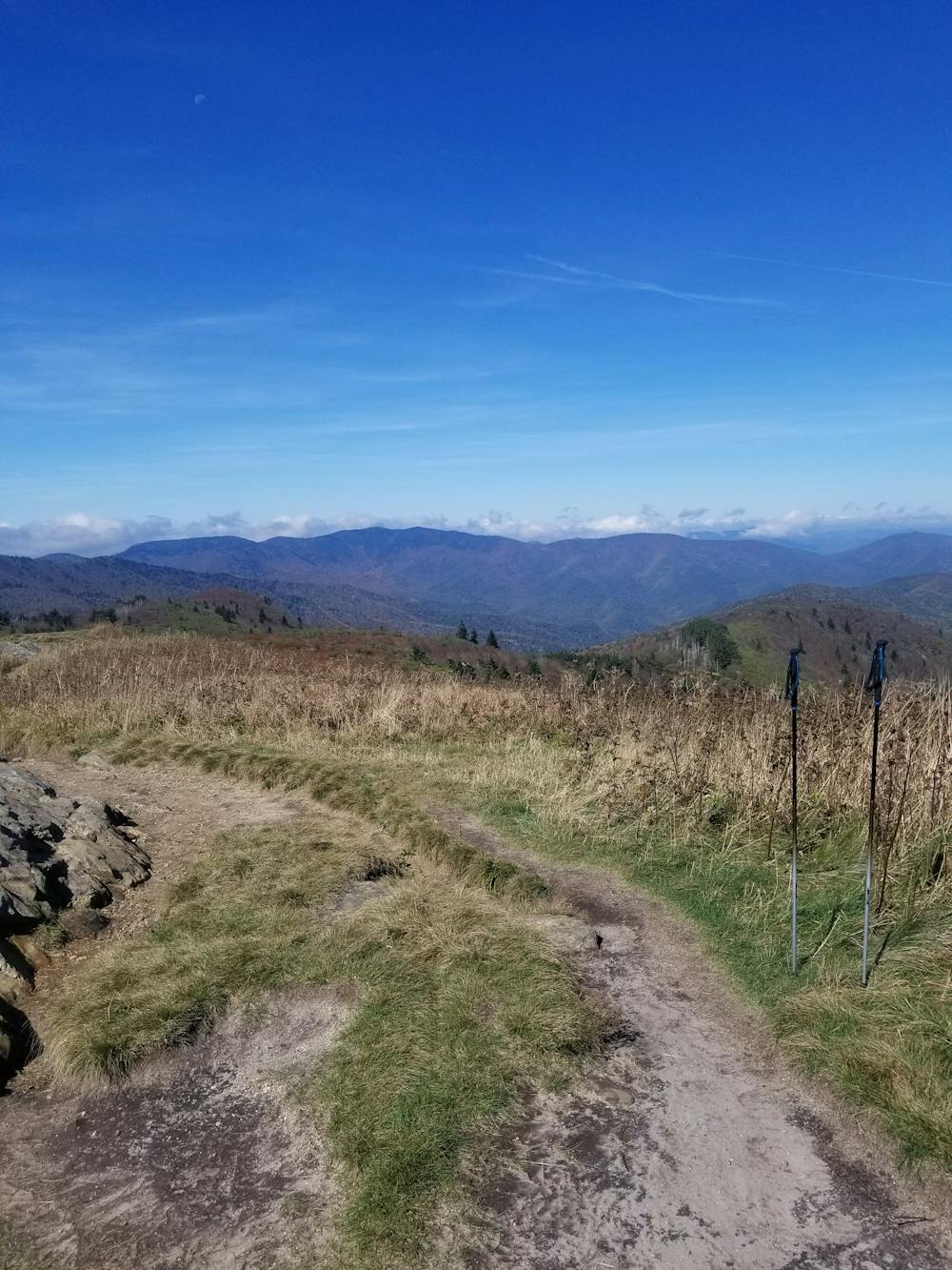
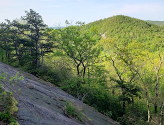
Beginning at Daniel Boone Camp Ground, at 4 miles in, there is a spur trail that leads to the summit of Cold Mountain, the first peak along the Shining Rock Ridge. The Black Balsam region of the trail is known for its bald summits and wide panoramic views. Two-thirds of the way through the hike, the trail skirts the base of Cedar Rock Mountain--a highlight due to a large bald rock face frequented by climbers.
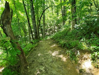
The majority of the trail is marked with white blazes or written trail markers. Within the boundaries of the Shining Rock Wilderness, trail blazes are minimal. Familiarize yourself with the major intersections to ensure you stay on the trail. Several adjacent trails lead to other popular landmarks, but could spur several miles off route if not careful. After passing a paved road that leads to the Black Balsam/Sam's Knob parking area, the Art Loeb merges with the Mountains to Sea Trail (MST) for a short stretch. The trail is denoted with a white blaze and white dot for this stretch. Near the top of Silvermine Bald, the Art Loeb takes a sharp left and descends towards the Blue Ridge Parkway, where it crosses and continues towards Farlow Gap. From here, the remainder of the trail is marked very well as it continues through multiple gaps and several smaller mountains.
Extreme
Scrambling up mountains and along technical trails with moderate fall exposure. Handholds are necessary to navigate the trail in its entirety, although they are not necessary at all times. Some obstacles can be very large and difficult to navigate, and the grades can often be near-vertical. The challenge of the trail and the steepness of the grade results in very strenuous hiking. Hikes of this difficulty blur the lines between "hiking" and "climbing".

Some trail sections are extremely exposed where falling will almost certainly result in serious injury or death.

Little chance of being seen or helped in case of an accident.
2 m away
A challenging hike through dense tunnels of rhododendron.
Difficult Hiking
10 m away

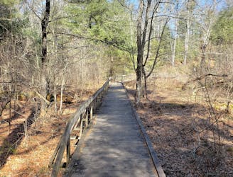
A short, quiet hike on the edge of town.
Moderate Hiking
3.9 km away
A short hike originating at a picnic area along the Davidson River.
Moderate Hiking
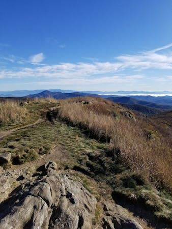
5.2 km away
Hike to one of the most impressive viewpoints in Pisgah National Forest.
Difficult Hiking
6.5 km away
A classic route from the fish hatchery with phenomenal views from John Rock.
Moderate Hiking
6.5 km away
An adventurous and incredibly challenging hike requiring the use of fixed ropes to ascend Cedar Rock Mountain.
Extreme Hiking
8.8 km away
A quiet hike along historic logging paths in Turkey Pen.
Moderate Hiking
8.8 km away
An hike in Turkey Pen pairing an old roadbed to a technical ridgetop traverse.
Difficult Hiking
9.5 km away
A beautiful, family-friendly hike through the historic Pink Beds Valley.
Easy Hiking
9.8 km away
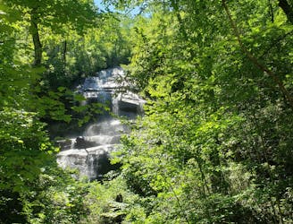
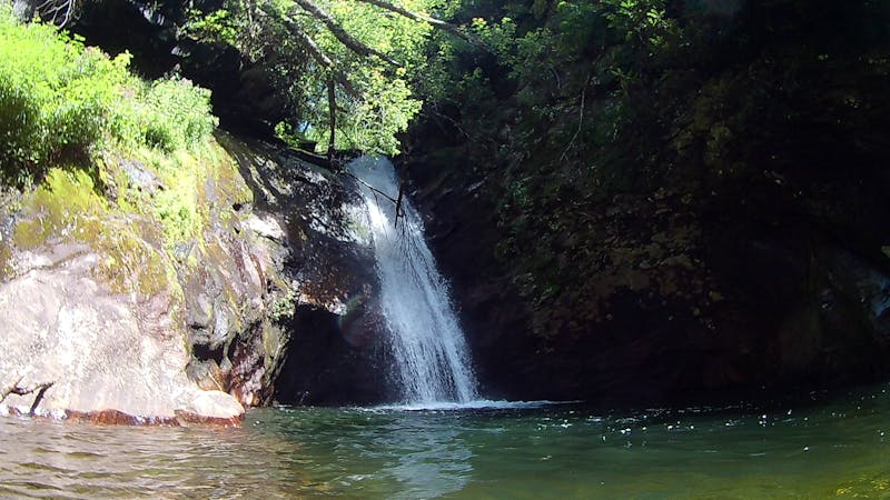
A staple hike with a 150' cascading waterfall.
Moderate Hiking
16 routes · Hiking
6 routes · Hiking
9 routes · Hiking
8 routes · Hiking · Trail Running