3.8 km away
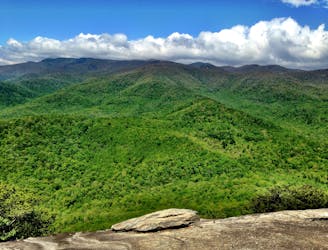
Old Butt Knob / Shining Creek Path Loop
A challenging and incredibly-steep approach to Shining Rock.
Severe Hiking
- Distance
- 14 km
- Ascent
- 948 m
- Descent
- 948 m
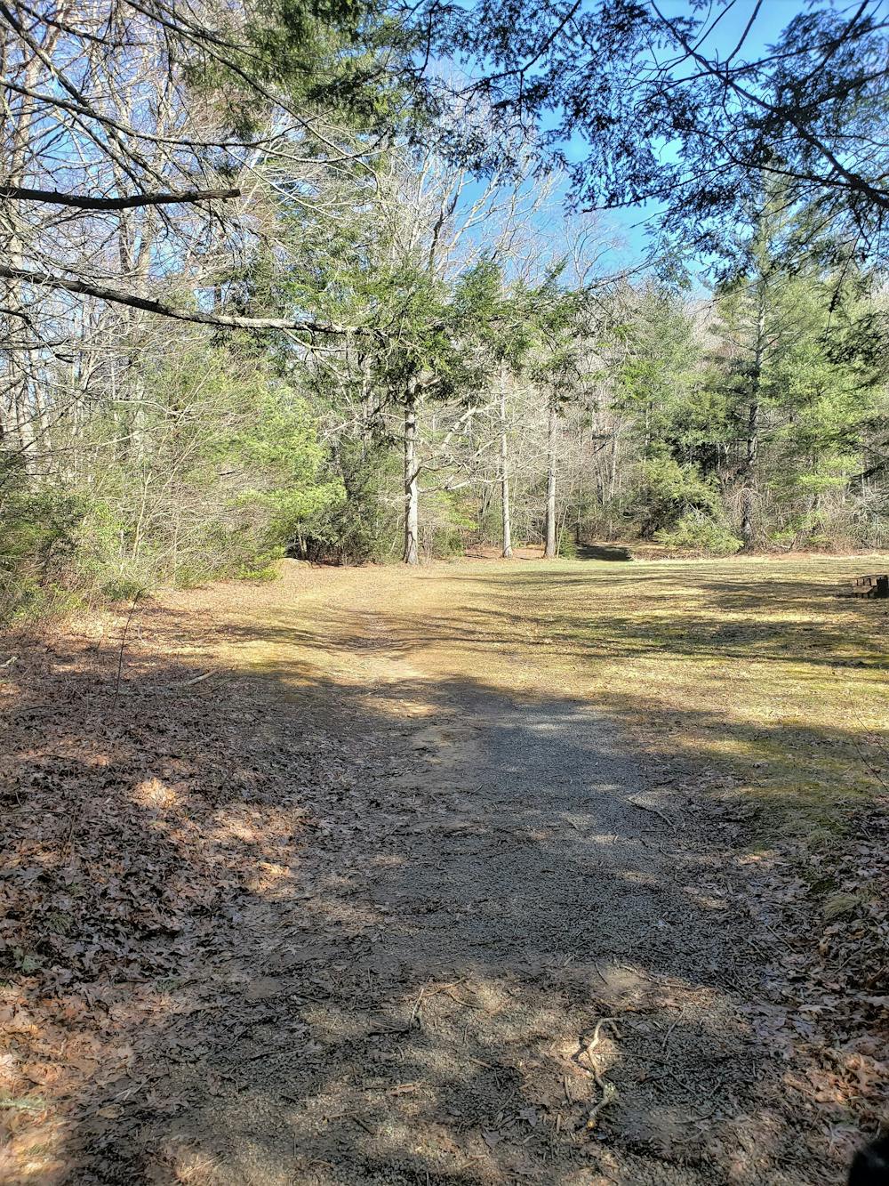
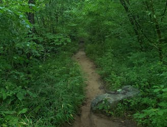
A beautiful, family-friendly hike through the historic Pink Beds Valley.
Hiking Easy

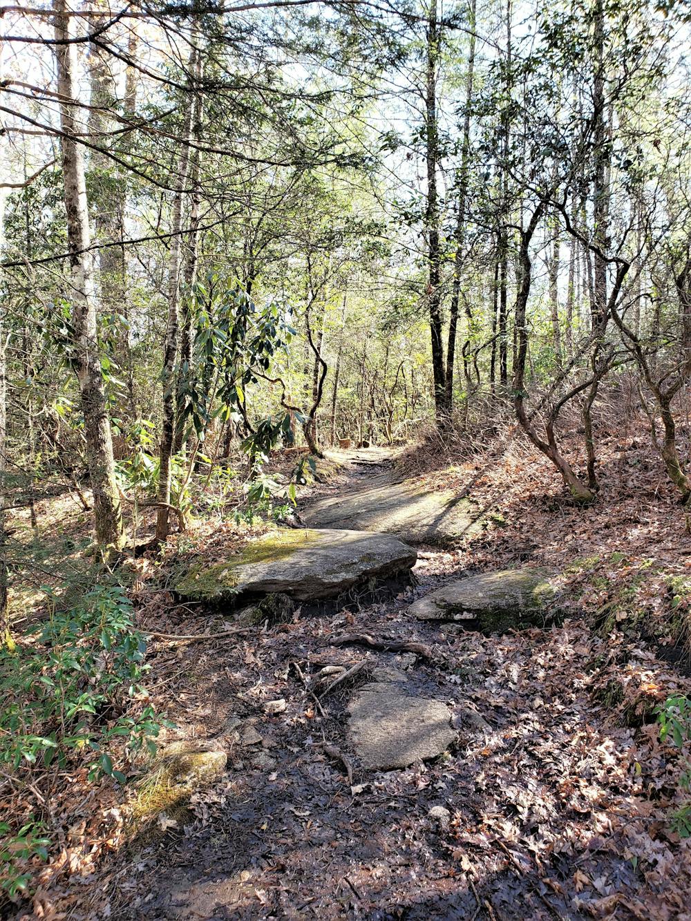
With little elevation change, this well-marked loop is one of the best hikes in Pisgah National Forest. Pack a lunch and bring your dog along on this beautiful hike through the historic Pink Beds Valley. Despite the name, the Forest Service says the name is "more historical than descriptive," though expect plenty of mountain laurel and rhododendron along the way.

To begin the loop, park at the Pink Beds Picnic Area off of US-276, just a short drive from Brevard or the Blue Ridge Parkway. Follow the trail marker to the first intersection. From here, you could hike the loop in either direction, though most typically choose clockwise.
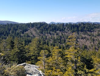
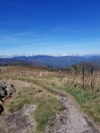
The northern side of the loop follows an old road and is quite wide, as the trail passes through several small wildlife fields. These clearings give way to some views of the surrounding mountains.
At the intersection with Barnett Branch Trail, continue straight to complete the 5-mile loop. Should you wish for a shorter loop, take the right turn and return to the trailhead along the southern portion of the loop.
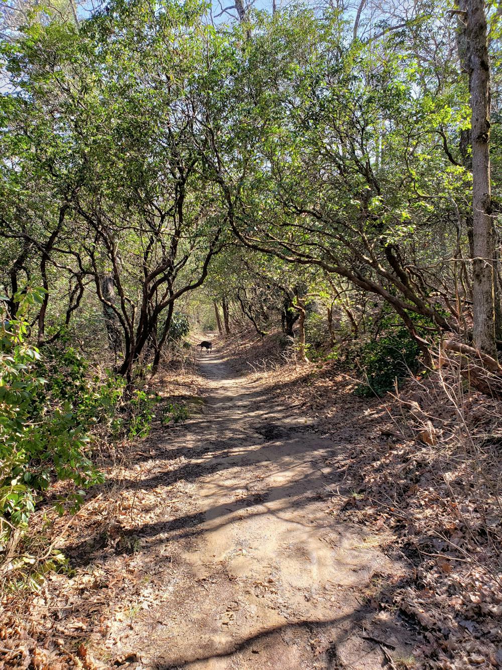
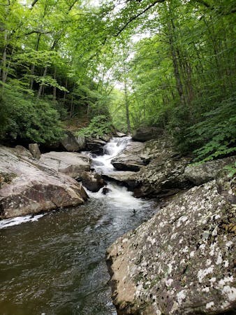
Continuing through the intersection, follow the orange blazes as the trail narrows and turns to singletrack. Enjoy the beautiful rhododendron that lines the way as the trail takes a right and begins to parallel the South Fork of Mills River.
Along the south side of this loop, the trail crosses the river several times via a series of bridges. After a rain, expect that you may still get your feet wet as low spots tend to hold water.
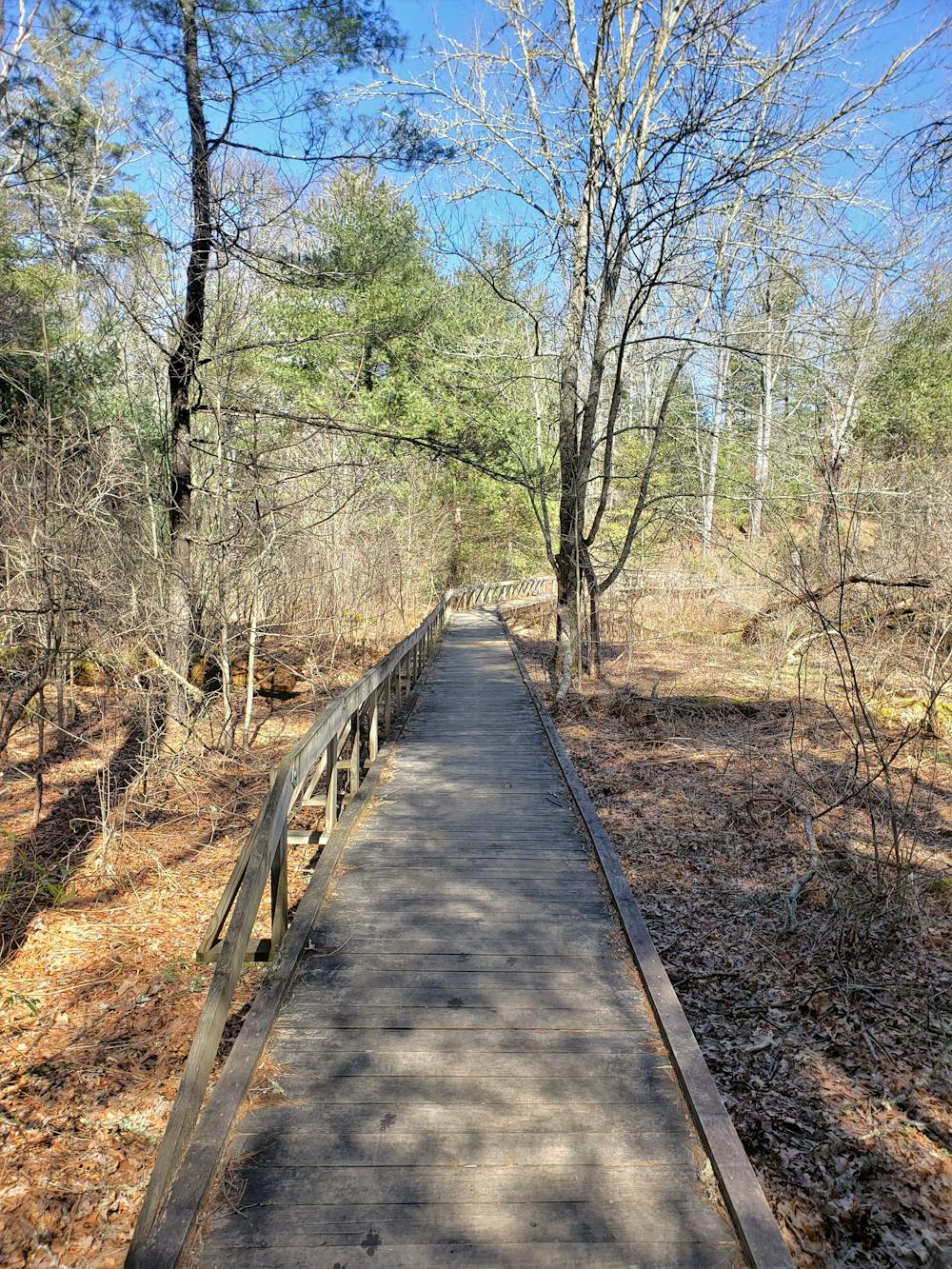
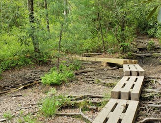
Approaching a long boardwalk, enjoy the views of the surrounding bog as the loop makes its way back to the trailhead, rounding out the hike.
Sources: https://www.fs.usda.gov/recarea/nfsnc/recarea/?recid=48238
Easy
Walking along a well-kept trail that’s mostly flat. No obstacles are present.

The path is on completely flat land and potential injury is limited to falling over.
Close to help in case of emergency.
3.8 km away
A challenging and incredibly-steep approach to Shining Rock.
Severe Hiking
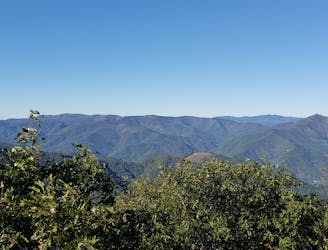
4.7 km away
A short hike to a historic fire tower with breathtaking panoramic views.
Easy Hiking
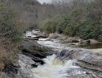
5.7 km away
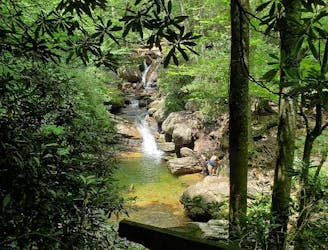
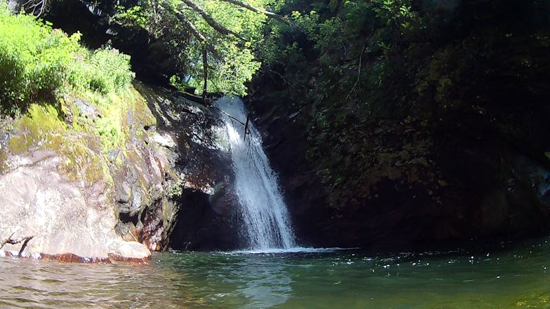
An unforgettable swimming hole, perfect for hot summer days.
Moderate Hiking
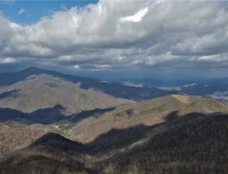
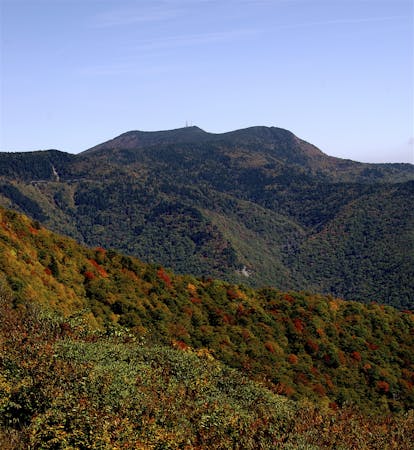
6 km away
A historic and iconic route connecting Mount Pisgah to Mount Mitchell.
Difficult Hiking
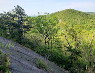
7 km away
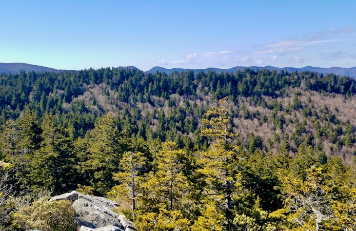
Hike to one of the most impressive viewpoints in Pisgah National Forest.
Difficult Hiking
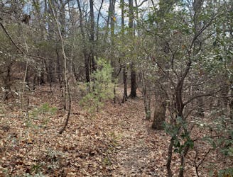
7.2 km away
A short hike originating at a picnic area along the Davidson River.
Moderate Hiking
7.3 km away
A classic waterfall hike along the Blue Ridge Parkway.
Moderate Hiking
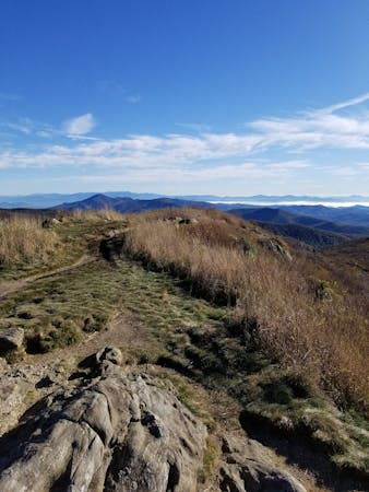
7.8 km away
A popular hike providing spectacular views from the summit of Mount Pisgah.
Difficult Hiking
7.8 km away
A classic route from the fish hatchery with phenomenal views from John Rock.
Moderate Hiking
7.8 km away
An adventurous and incredibly challenging hike requiring the use of fixed ropes to ascend Cedar Rock Mountain.
Extreme Hiking
7 routes · Hiking

7 routes · Hiking
16 routes · Hiking
6 routes · Hiking
9 routes · Hiking

10 routes · Hiking

16 routes · Hiking
3 routes · Hiking
8 routes · Hiking · Trail Running

8 routes · Hiking