1.7 km away
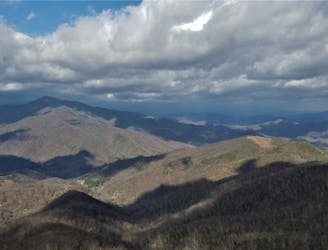
Mountains To Sea Trail: Pisgah Inn to Mount Mitchell State Park
A historic and iconic route connecting Mount Pisgah to Mount Mitchell.
Difficult Hiking
- Distance
- 98 km
- Ascent
- 4 km
- Descent
- 3.4 km
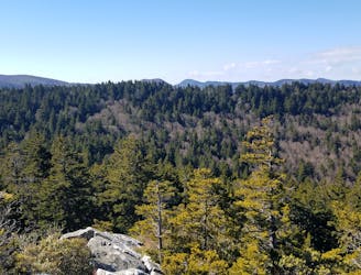
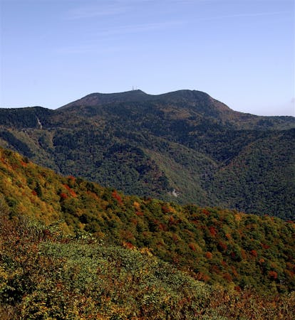
A popular hike providing spectacular views from the summit of Mount Pisgah.
Hiking Difficult

Less than 2.5 miles round trip to the summit, this is one of the most popular hikes along the Blue Ridge Parkway. Though short, this trail gains nearly 700 feet of elevation in the short hike, with a rugged final approach.
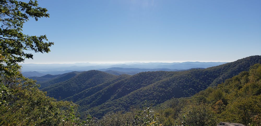
At mile post 407 along the BRP, look for an overlook sign labeled "Mt. Pisgah Parking." The trailhead is at the end of the second parking lot, and a placard denotes the details of the hike. In general, the hike should take less than two hours for an average hiker.
Accessible from the same parking area, a short walk down Buck Spring Trail leads to a historic exhibit and dramatic views to the east. This site holds the remains of George Vanderbilt's hunting lodge which formerly connected to the Biltmore Mansion via the Shut-In Trail.
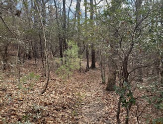
The beginning of the hike climbs gradually through a Northern Red Oak forest, rewarding you with some partial views to the west. You will cross a couple of seasonal springs before the trail turns and begins to steepen. After heavy rains, expect to get your feet wet, and use additional caution on the slick rocks. The latter half of the hike should be considered difficult, with large rock slabs and well-placed stairs propelling you up the southeast side of the mountain.
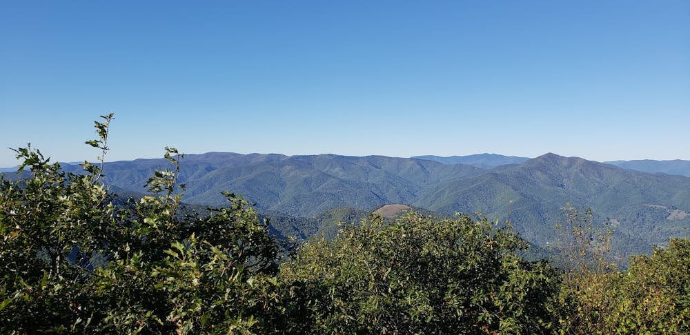
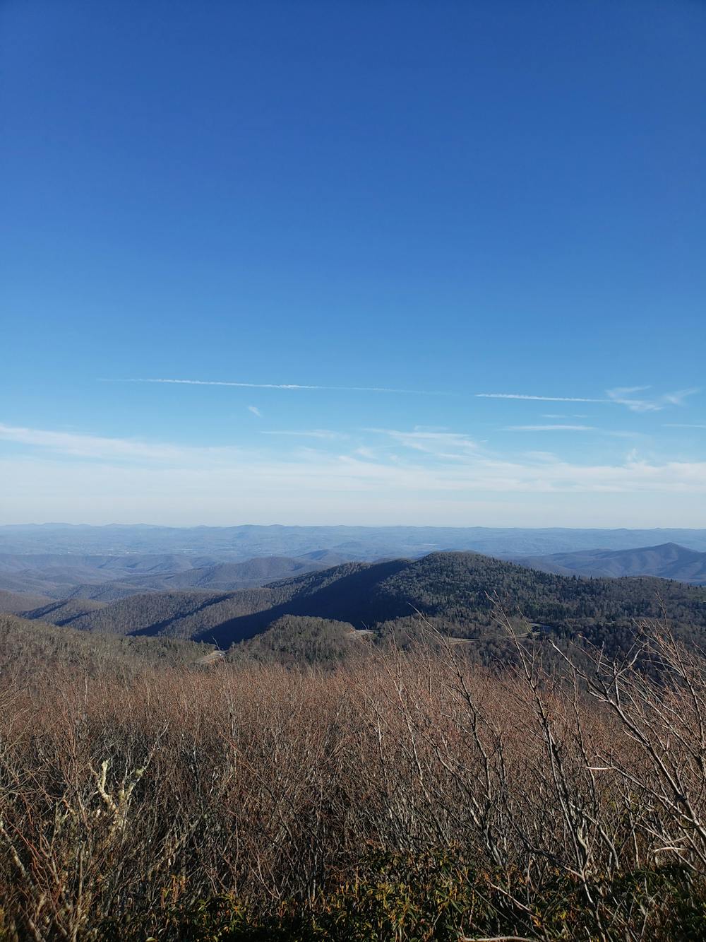
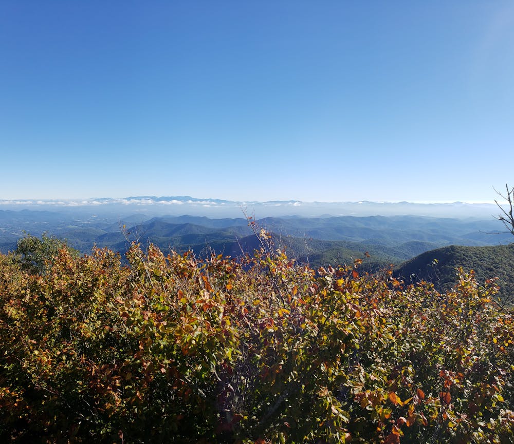
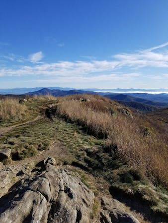
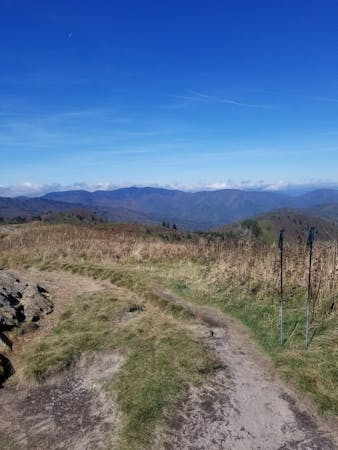
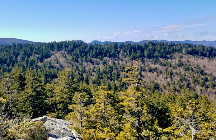
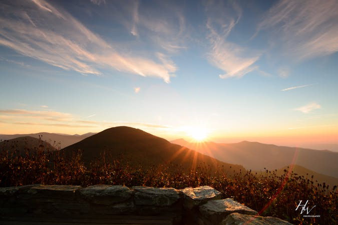
At the summit, you'll be rewarded with sweeping views to the south from a wooden observation deck. From here, you'll have an excellent vantage point to view the nearby Shining Rock Wilderness and Balsam Range.
As a disclaimer, this trailhead is only accessible from the Blue Ridge Parkway. In the winter months or during inclement weather, the parkway frequently closes. In the winter, park where NC-151 intersects the BRP. From there, follow the Mountains to Sea trail to the Mount Pisgah Trail. At roughly 6 miles, this route is much more challenging, though rewarding as few people visit the summit in the winter.
Sources: https://en.wikipedia.org/wiki/MountPisgah(mountaininNorthCarolina) https://www.nps.gov/blri/planyourvisit/mt-pisgah-trails.htm
Difficult
Hiking trails where obstacles such as rocks or roots are prevalent. Some obstacles can require care to step over or around. At times, the trail can be worn and eroded. The grade of the trail is generally quite steep, and can often lead to strenuous hiking.

The trail contains some obstacles such as outcroppings and rock which could cause injury.
Away from help but easily accessed.
1.7 km away
A historic and iconic route connecting Mount Pisgah to Mount Mitchell.
Difficult Hiking
3.2 km away
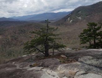
A short hike to a historic fire tower with breathtaking panoramic views.
Easy Hiking
6.3 km away
A gem of a hike showcasing some of the best features in Pisgah National Forest.
Difficult Hiking
7.8 km away
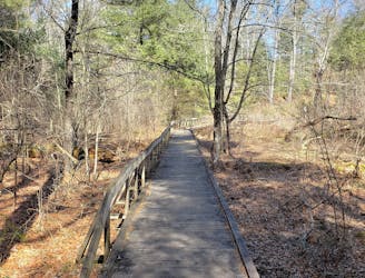
A beautiful, family-friendly hike through the historic Pink Beds Valley.
Easy Hiking
8.6 km away
A challenging and incredibly-steep approach to Shining Rock.
Severe Hiking
7 routes · Hiking

7 routes · Hiking
16 routes · Hiking
9 routes · Hiking

10 routes · Hiking

16 routes · Hiking
3 routes · Hiking
8 routes · Hiking