3.8 km away
Pink Beds Loop
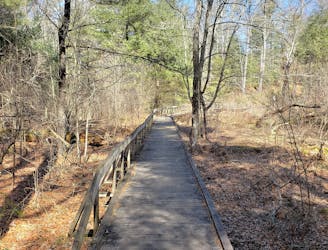
A beautiful, family-friendly hike through the historic Pink Beds Valley.
Easy Hiking
- Distance
- 8.1 km
- Ascent
- 116 m
- Descent
- 116 m
A challenging and incredibly-steep approach to Shining Rock.
Hiking Severe

This route is an all-seasons hike into Shining Rock Wilderness, accessible via US-276. A small parking area can accommodate a handful of cars, and an adjacent pull-off serves as overflow. Snow is likely in the winter months, but the route is still passable with appropriate gear.
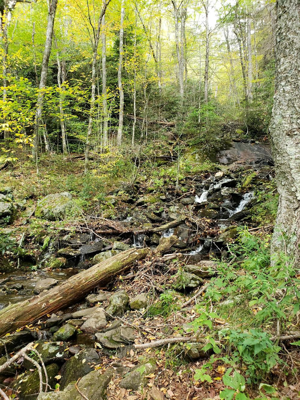
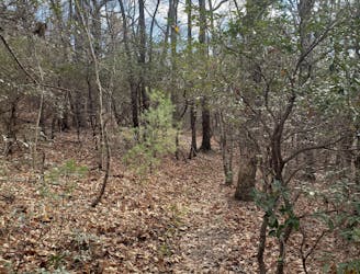
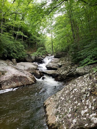
Beginning at the Big East Fork Trailhead, follow the trail as it parallels the creek. This is a popular camping area with plenty of tent and hammock opportunities. Most would consider this a day hike, though camping opportunities do exist along Shining Rock Ridge.
As the trail spirals away from the creek, it will soon reach an unmarked intersection with Old Butt Knob Trail. A hard right, and you'll begin to climb.
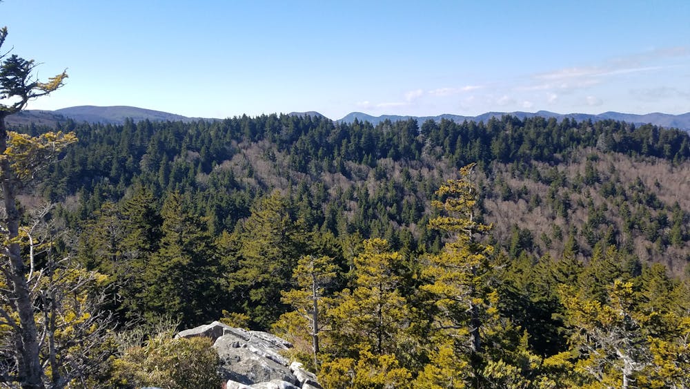
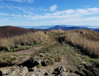
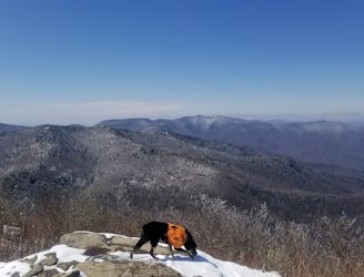
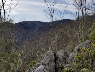
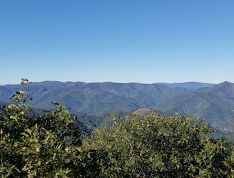
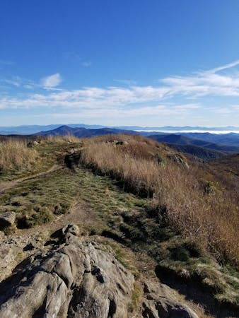
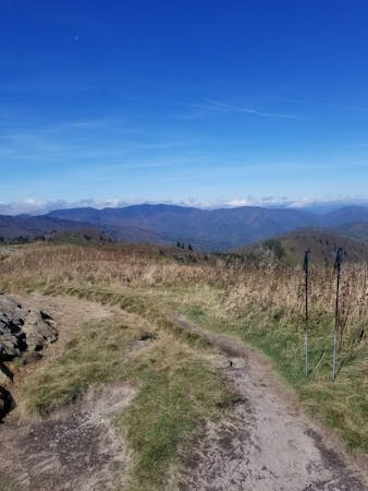
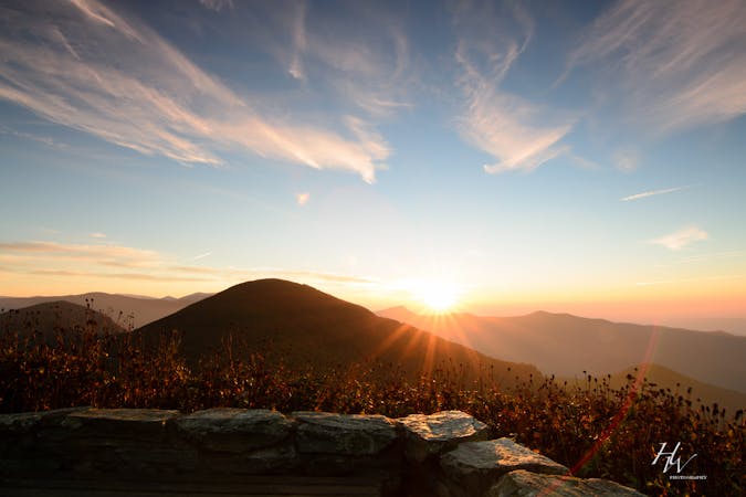
The next two miles will test your limits as you ascend to Old Butt Knob at 5,500'. This steep climb is sure to challenge even the strongest of hikers and trail runners. You'll find a couple of switchbacks along your way as you follow the steep ridge to the summit. A couple of craggy outcroppings give way to panoramic views of the surrounding wilderness.
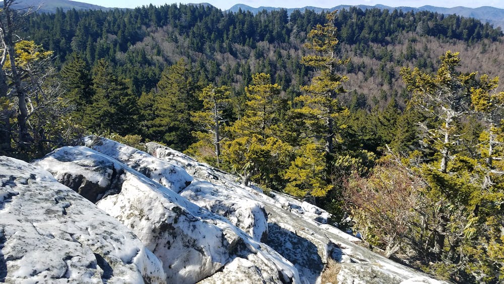
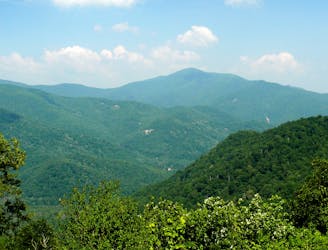
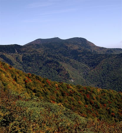
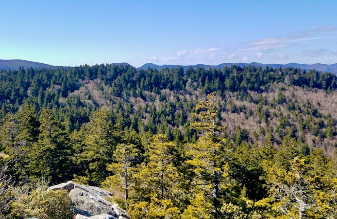
After Old Butt Knob, the trail levels as it continues towards Shining Rock Mountain. A series of tight switchbacks then lead the way to the midway point and destination for this loop, Shining Rock. According to Wikipedia, "Shining Rock is named for the large white quartzite rock outcropping near its summit." A handful of side trails lead to different vantage points along the formation.
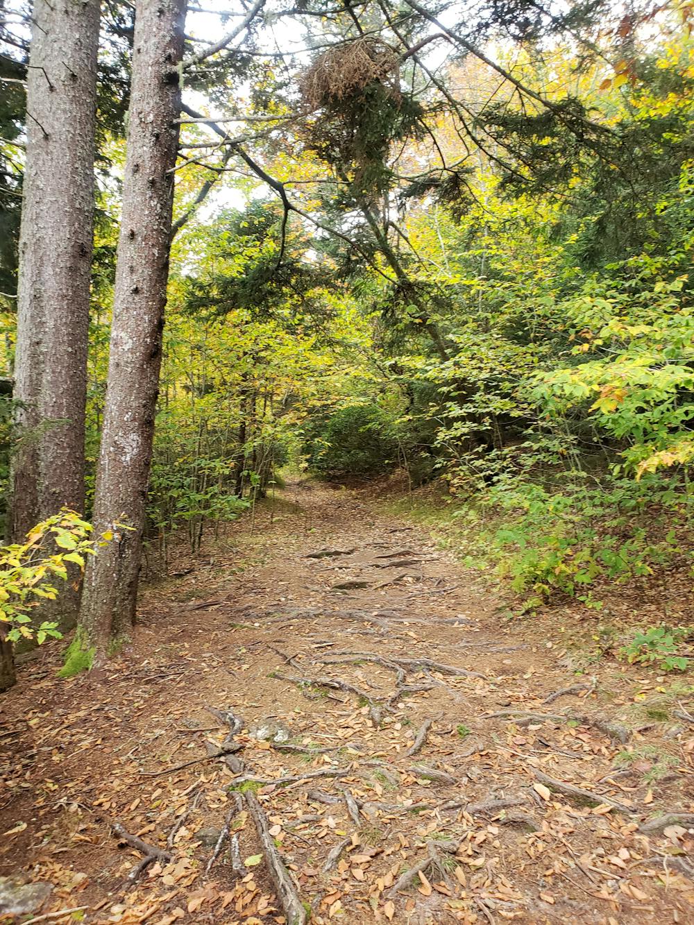
Along this stretch, note that trail markings are minimal and/or non-existent. Being designated as a Federal Wilderness Area, "trails are neither signed nor blazed, and are maintained at a low level that results in their treads being difficult or impossible to see at times," according to the US Forest Service.
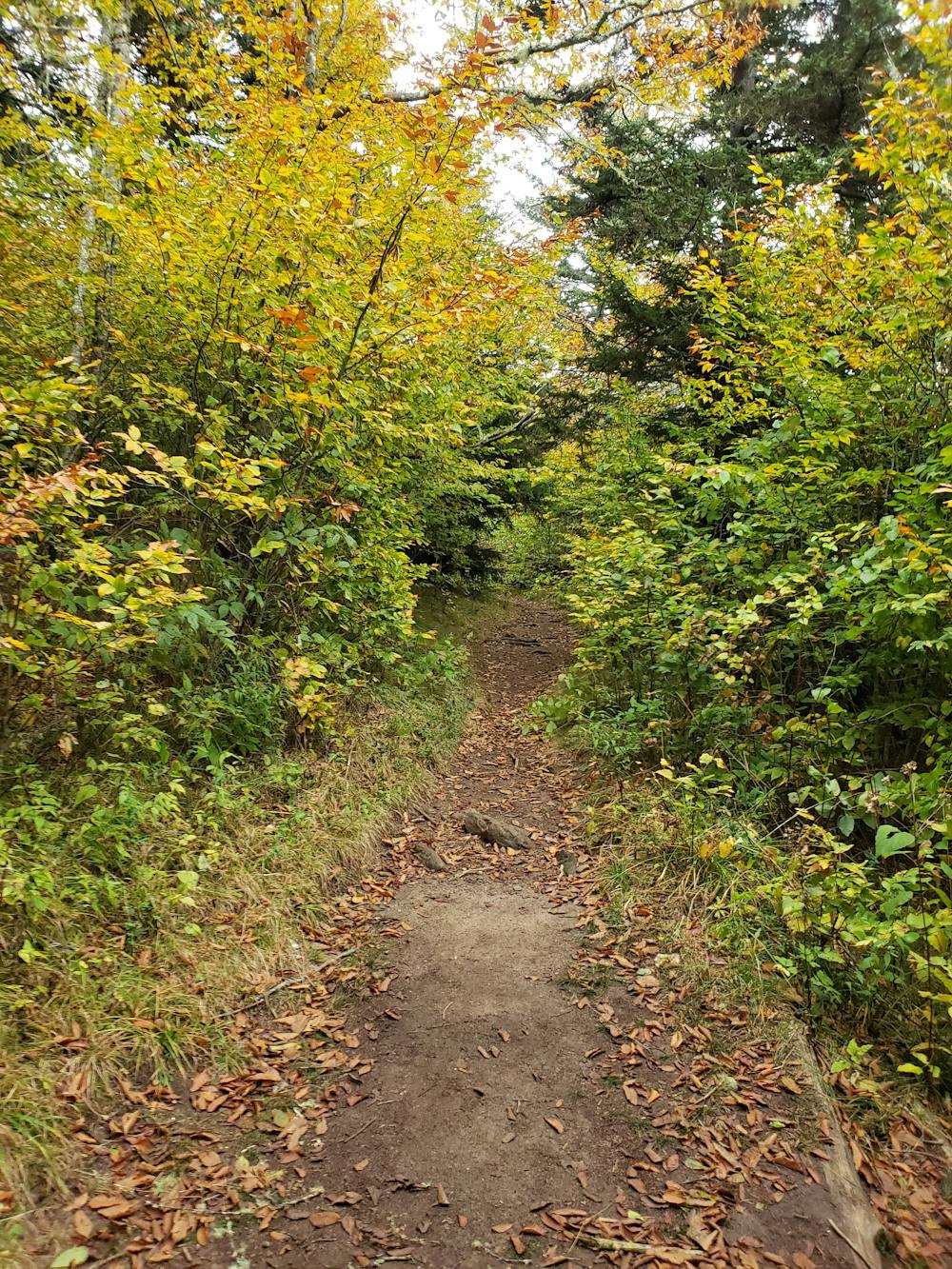
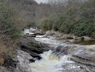
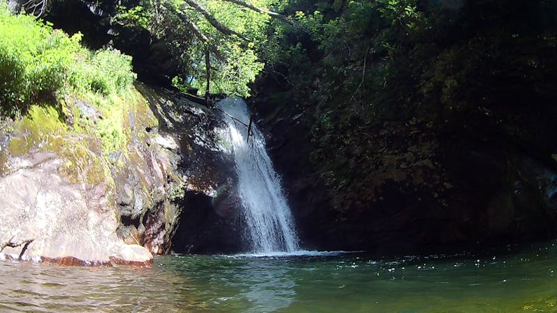
Continuing on the loop, you'll reach the 31-mile Art Loeb Trail, where you'll take a left to follow it for a short stretch. Shortly after, you'll find a marker denoting the turn for Shining Creek Path. Take the left and begin the descent. Along the way, you'll pass several springs that ultimately merge to form Shining Creek.
The way down Shining Creek Path is steady and often chosen for shorter out-and-back hikes to its multiple cascading waterfalls.
Once you reach the intersection with Old Butt Knob Trail, keep right and follow the path along the river back to the trailhead.
Sources: https://www.fs.usda.gov/recarea/nfsnc/recarea/?recid=48260 https://en.wikipedia.org/wiki/ShiningRock
Severe
Hiking challenging trails where simple scrambling, with the occasional use of the hands, is a distinct possibility. The trails are often filled with all manner of obstacles both small and large, and the hills are very steep. Obstacles and challenges are often unexpected and can be unpredictable.

The trail contains some obstacles such as outcroppings and rock which could cause injury.
Away from help but easily accessed.
3.8 km away
A beautiful, family-friendly hike through the historic Pink Beds Valley.
Easy Hiking
4.9 km away
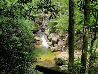
An unforgettable swimming hole, perfect for hot summer days.
Moderate Hiking
5.5 km away
A short hike to a historic fire tower with breathtaking panoramic views.
Easy Hiking
5.8 km away
A classic waterfall hike along the Blue Ridge Parkway.
Moderate Hiking
7.2 km away
A historic and iconic route connecting Mount Pisgah to Mount Mitchell.
Difficult Hiking
7.3 km away
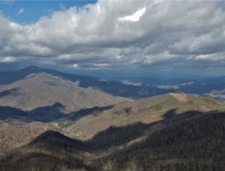
A staple hike on the Blue Ridge Parkway renowned for its endless 360-degree views.
Moderate Hiking
7.3 km away
A beautiful hike with two iconic summits, plenty of overnight camping, and year-round access.
Difficult Hiking
7.4 km away
An epic all-day hike, overnight trip, or trail run through Shining Rock Wilderness.
Difficult Hiking
7.4 km away
A challenging summit hike to a viewpoint on Cold Mountain.
Severe Hiking
8.6 km away
A popular hike providing spectacular views from the summit of Mount Pisgah.
Difficult Hiking
7 routes · Hiking

7 routes · Hiking
16 routes · Hiking
6 routes · Hiking
9 routes · Hiking

10 routes · Hiking

16 routes · Hiking
3 routes · Hiking
8 routes · Hiking · Trail Running
8 routes · Hiking