772 m away
Sam's Knob and Black Balsam Knob
A beautiful hike with two iconic summits, plenty of overnight camping, and year-round access.
Difficult Hiking
- Distance
- 22 km
- Ascent
- 670 m
- Descent
- 670 m
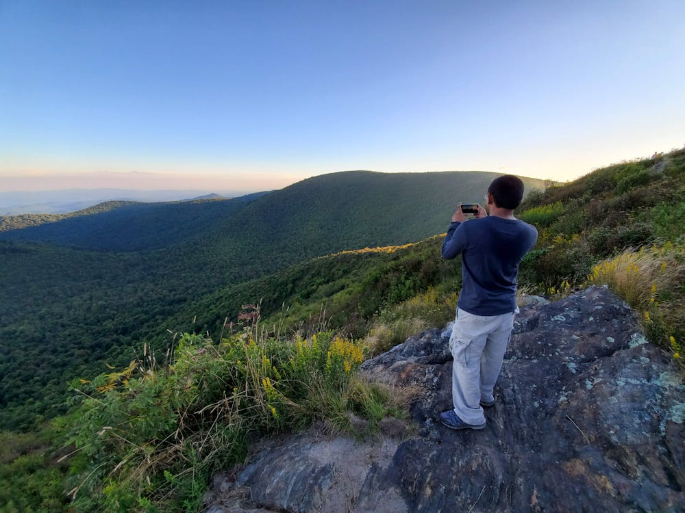
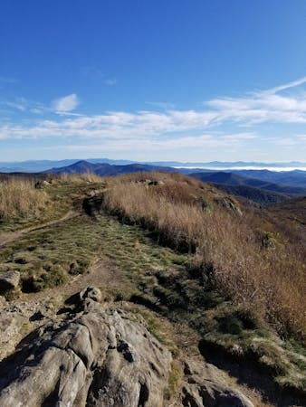
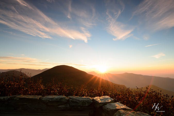
A staple hike on the Blue Ridge Parkway renowned for its endless 360-degree views.
Hiking Moderate

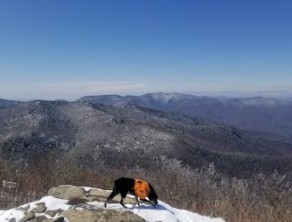
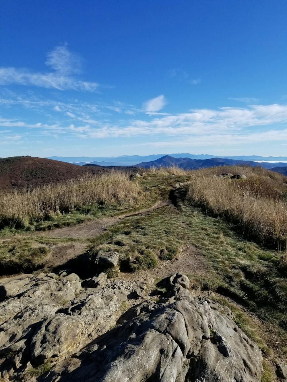
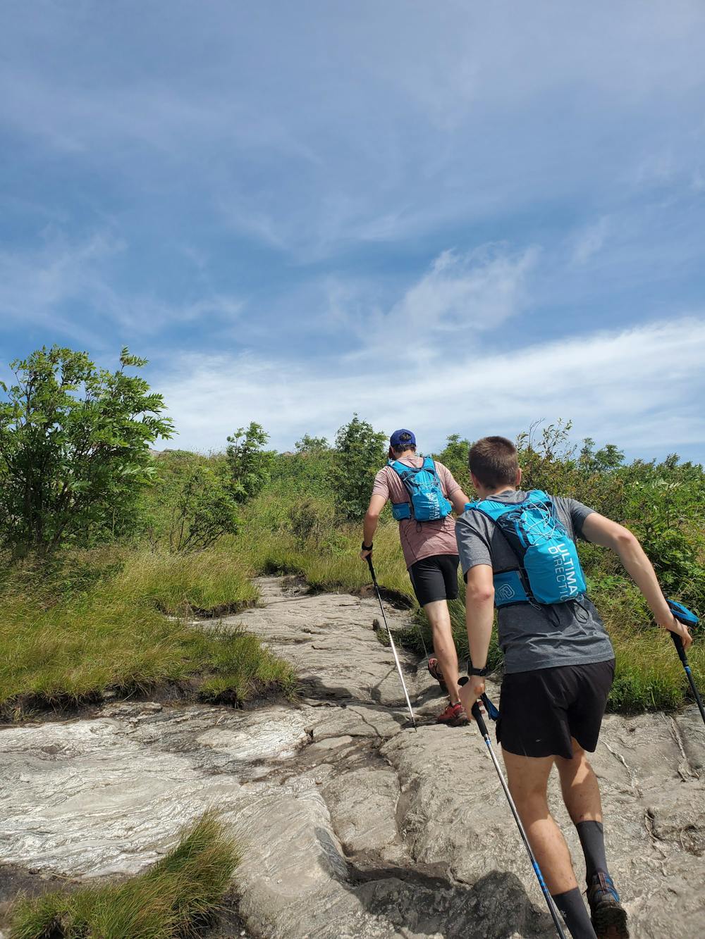
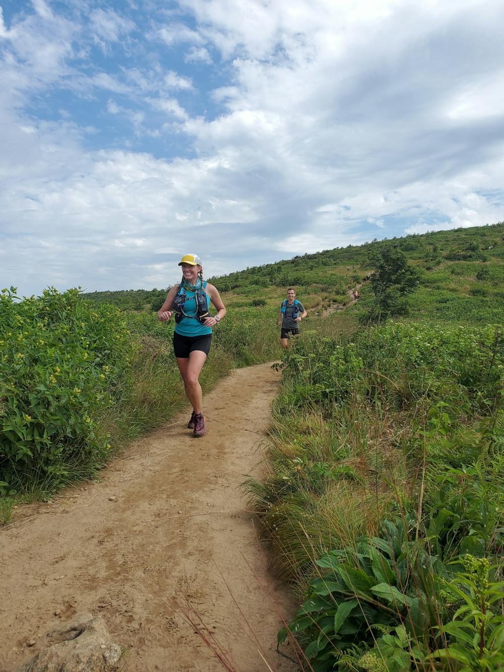
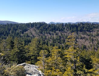
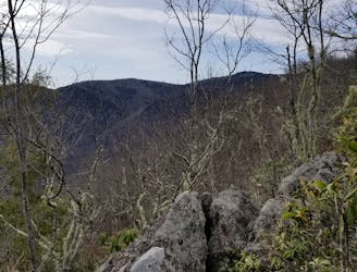
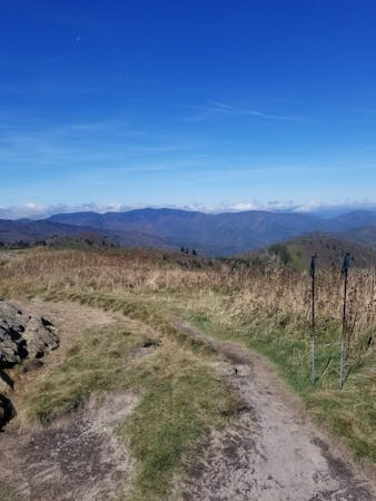
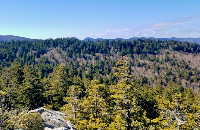
Black Balsam Knob is one of the most recognized and coveted hiking areas anywhere on the 469-mile Blue Ridge Parkway. Expansive logging and wildfires have riddled the region, and the bald summits of Black Balsam Knob and Tennent Mountain now give way to spectacular 360-degree views of the surrounding Blue Ridge. The route is family-friendly and dog-friendly, and an extremely popular area for camping.
The traditional way to hike is to begin on Black Balsam Road, near mile marker 420 on the Parkway. When you notice the roadside parallel parking, find yourself a spot and look for a small kiosk denoting the trailhead. Alternatively, you could also park at the end of the road and start with the Art Loeb Spur Trail. There are pit toilets at the end of the road, but no running water.
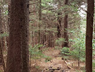
As mapped, look for the white blaze of the Art Loeb Trail, a 31-mile footpath that dissects the Pisgah Ranger District. Heading north on the trail, you'll wander through a dark spruce forest, then climb your way up to the views. Black Balsam Knob is a popular destination for a shorter out-and-back version of this hike, but if you have the legs (and lungs) for this entire 5-mile circuit, you won't be disappointed!
The Blue Ridge Parkway does experience frequent road closures during the winter, so be sure to check the road conditions first. This is also an extremely popular summer and fall hike, so get an early start to your day to beat the crowds.
For a longer version of this loop that includes a visit to Sam Knob, check out this route instead!
Moderate
Hiking along trails with some uneven terrain and small hills. Small rocks and roots may be present.

The trail contains some obstacles such as outcroppings and rock which could cause injury.
Away from help but easily accessed.
772 m away
A beautiful hike with two iconic summits, plenty of overnight camping, and year-round access.
Difficult Hiking
2.6 km away
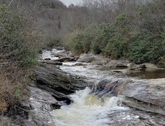
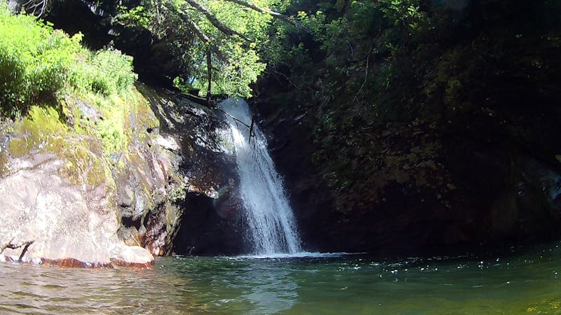
A classic waterfall hike along the Blue Ridge Parkway.
Moderate Hiking
2.7 km away
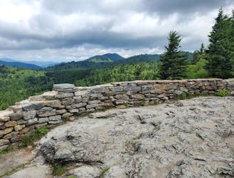
A short hike to an overlook with expansive views.
Moderate Hiking
3.5 km away
An all seasons route to one of the best views in Western North Carolina.
Severe Hiking
4.4 km away
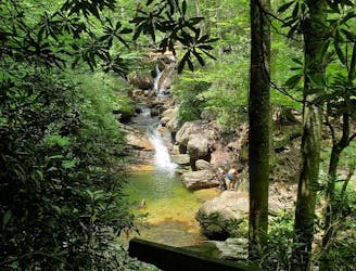
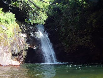
An unforgettable swimming hole, perfect for hot summer days.
Moderate Hiking
5.9 km away
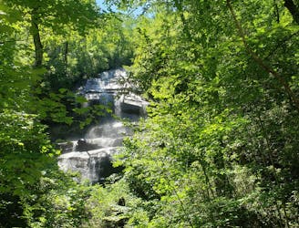
A staple hike with a 150' cascading waterfall.
Moderate Hiking
7.1 km away
A lightly-traveled loop through an old logging area turned wilderness.
Severe Hiking
7.3 km away
A challenging and incredibly-steep approach to Shining Rock.
Severe Hiking
7.5 km away
A moderate hike to a 45' waterfall and deep swimming hole.
Moderate Hiking
7.6 km away
An epic all-day hike, overnight trip, or trail run through Shining Rock Wilderness.
Difficult Hiking
16 routes · Hiking
6 routes · Hiking
9 routes · Hiking

10 routes · Hiking

16 routes · Hiking
3 routes · Hiking
8 routes · Hiking