2.7 km away
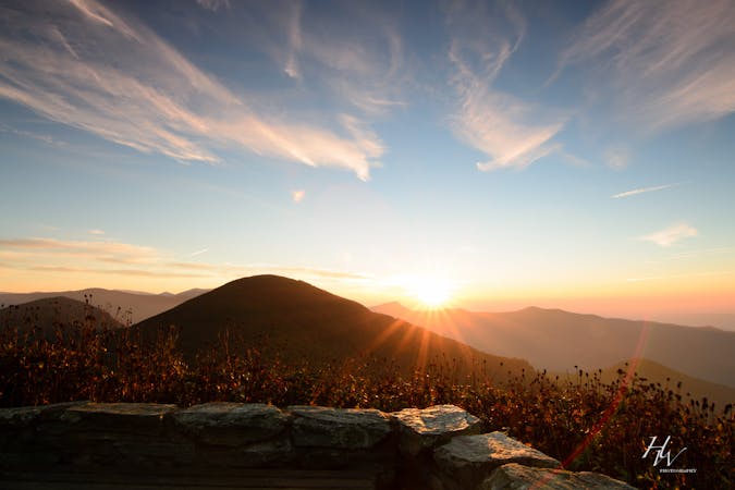
Craggy Pinnacle
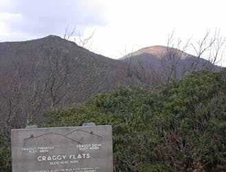
A short hike in the Great Craggy Mountains with sweeping 360-degree views.
Moderate Hiking
- Distance
- 1.1 km
- Ascent
- 49 m
- Descent
- 49 m
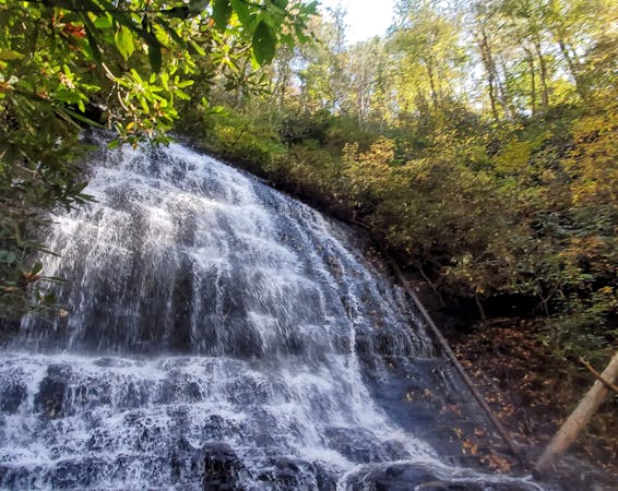
A short hike at the top of Big Ivy to a narrow and near-vertical, 70-foot waterfall.
Hiking Easy

Douglas Falls is a stunning 70-foot waterfall at the very top of Big Ivy Road, made even better thanks to the numerous roadside waterfalls you'll encounter on your drive up. Camping and bouldering/rock climbing are abundant along the unpaved drive there, and "while the water flow is usually on the low side, it's a beautiful setting and an easy hike" about 45-minutes from Asheville. The spring and summer wildflowers, especially the rhododendron and mountain laurel seen throughout the area, are fantastic.
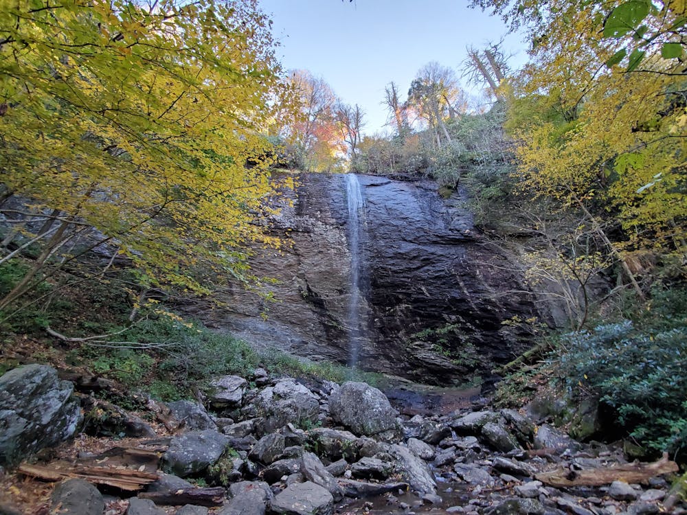
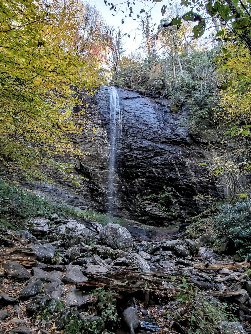
Douglas Falls can be accessed from the top of Big Ivy Road (seen here), or from the Blue Ridge Parkway near Craggy Gardens Visitor Center. From the BRP, the trail is a steep and lengthy downhill to the falls, as compared to the easy short ~1-mile round-trip seen here from the bottom.
The road to the top is about 9-miles long and unpaved, though a 2WD vehicle with moderate clearance can make it without issue. Neither water nor restrooms are available, and the trailhead is nothing more than a turnaround where the road ends.
For any mountain bikers out there, Big Ivy is home to two screaming awesome downhills, Walker Creek and Staire Creek. Big Ivy Road is also an excellent ride on a gravel bike, or alternative to the trails after rain or snow. It's also closed to vehicles through winter, making it a nice car-free ride to the top.
Easy
Walking along a well-kept trail that’s mostly flat. No obstacles are present.

The trail contains some obstacles such as outcroppings and rock which could cause injury.

Little chance of being seen or helped in case of an accident.
2.7 km away
A short hike in the Great Craggy Mountains with sweeping 360-degree views.
Moderate Hiking
3.9 km away
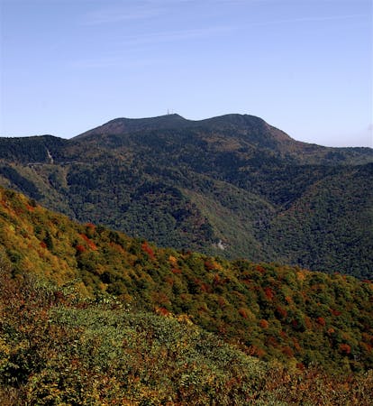
A beautiful route across Snowball Mountain, Hawkbill Rock, and the site of a former fire tower.
Severe Hiking
4.3 km away
An epic ridgetop traverse connecting the Blue Ridge Parkway to NC-197.
Difficult Hiking
9 km away
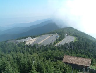
A classic hike to the summit of Mount Mitchell, the highest point east of the Mississippi River.
Difficult Hiking
7 routes · Hiking

10 routes · Hiking

16 routes · Hiking
8 routes · Hiking
10 routes · Hiking