2.3 km away
Snowball Mountain Trail
A beautiful route across Snowball Mountain, Hawkbill Rock, and the site of a former fire tower.
Severe Hiking
- Distance
- 11 km
- Ascent
- 720 m
- Descent
- 720 m
A short hike in the Great Craggy Mountains with sweeping 360-degree views.
Hiking Moderate

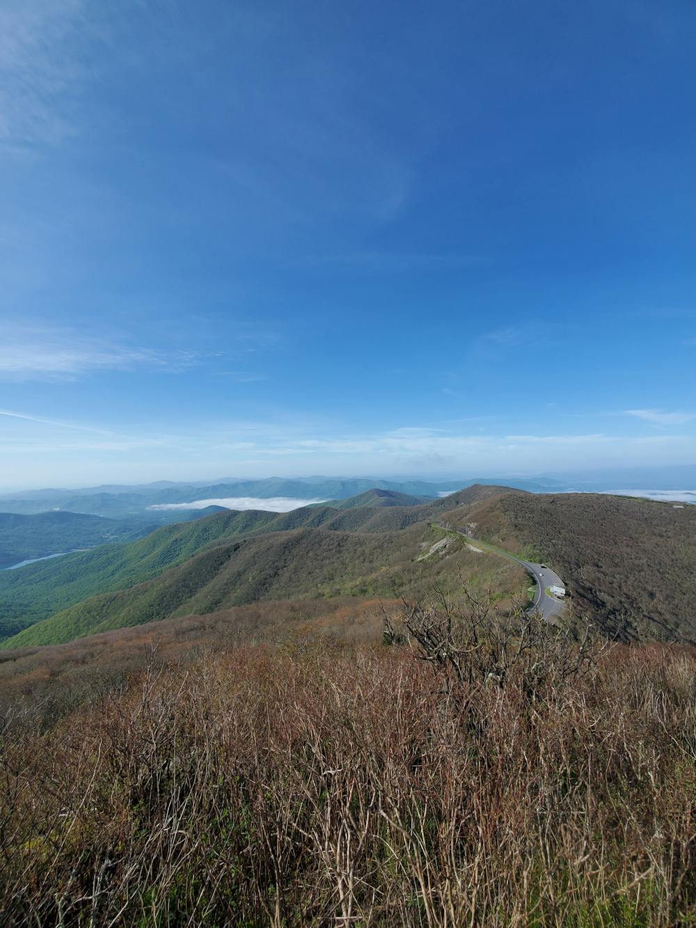
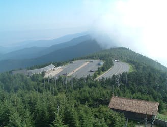
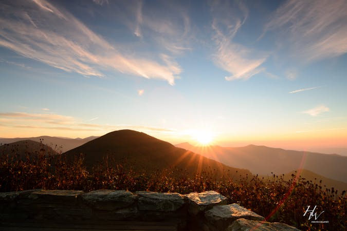
The hike to Craggy Pinnacle is one of the most rewarding short hikes along the Blue Ridge Parkway. Well over 5,800', the summit offers sweeping 360-views that many boast as the best in Western North Carolina. It's a perfect hike for the entire family and a phenomenal opportunities to enjoy a summer sunrise or sunset along the Blue Ridge Parkway.

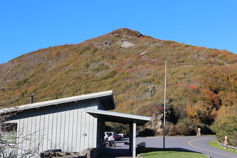
The hike is located off of the parkway just beyond the Craggy Gardens Visitor Center. You'll pass through a tunnel and the trailhead will be on your left. Larger vehicles may have trouble finding space to park. In the winter months, this portion of the parkway often closes during inclement weather.
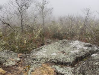
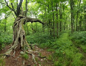
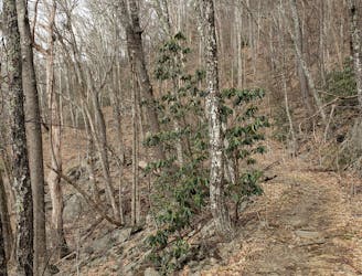
The hike is easy to follow and leads through tunnels of rhododendron and other beautiful flora as it gradually climbs to the overlook. Blueberries and blackberries are abundant mid-summer and purple Catawba rhododendrons blanket the area in June.
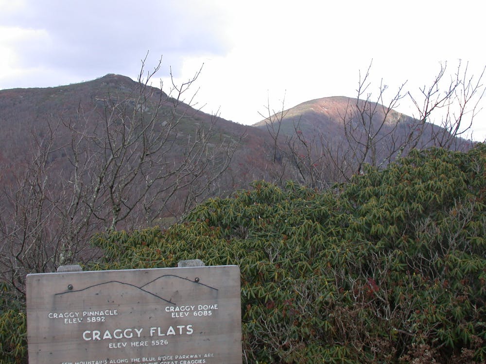
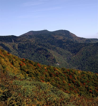
Near the summit, several side trail explore the peak and offer sweeping views in every direction. To the northeast, you'll be looking directly at Craggy Dome. Beyond that, you may be able to see portions of the Black Mountains including Mount Mitchell, the highest mountain peak in the east.
Sources: https://www.romanticasheville.com/craggypinnaclehikeparkway.htm https://en.wikipedia.org/wiki/GreatCraggyMountains
Moderate
Hiking along trails with some uneven terrain and small hills. Small rocks and roots may be present.

The trail contains some obstacles such as outcroppings and rock which could cause injury.
Away from help but easily accessed.
2.3 km away
A beautiful route across Snowball Mountain, Hawkbill Rock, and the site of a former fire tower.
Severe Hiking
2.7 km away
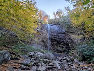
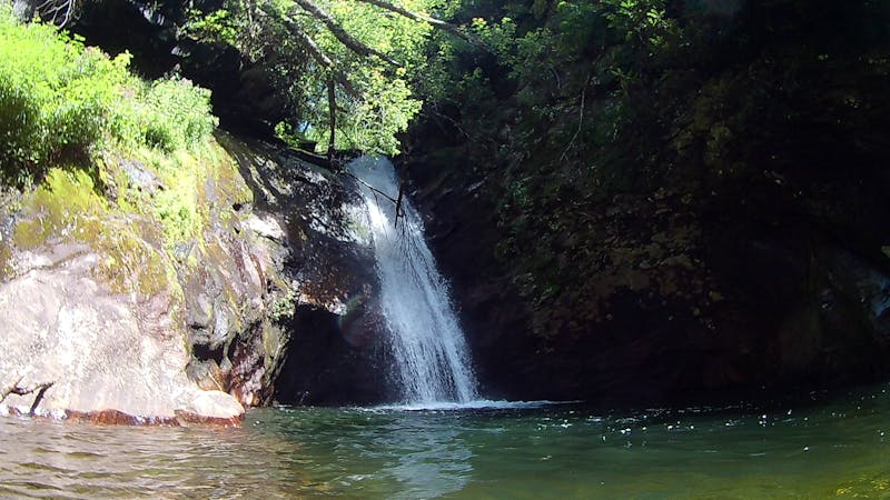
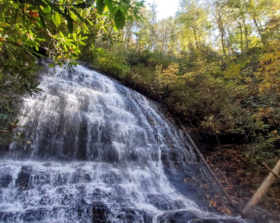
A short hike at the top of Big Ivy to a narrow and near-vertical, 70-foot waterfall.
Easy Hiking
6.1 km away
An epic ridgetop traverse connecting the Blue Ridge Parkway to NC-197.
Difficult Hiking
8.6 km away
A must-do summit hike not far from Asheville.
Difficult Hiking
9.8 km away
A classic hike to the summit of Mount Mitchell, the highest point east of the Mississippi River.
Difficult Hiking
7 routes · Hiking
6 routes · Hiking

10 routes · Hiking

16 routes · Hiking
8 routes · Hiking · Trail Running
8 routes · Hiking
10 routes · Hiking