4.3 km away
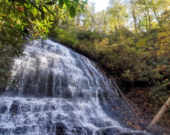
Douglas Falls
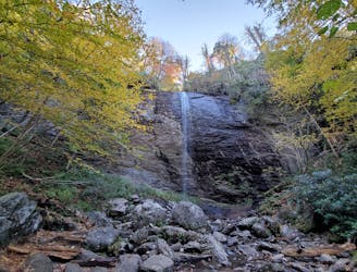
A short hike at the top of Big Ivy to a narrow and near-vertical, 70-foot waterfall.
Easy Hiking
- Distance
- 1.8 km
- Ascent
- 54 m
- Descent
- 54 m
An epic ridgetop traverse connecting the Blue Ridge Parkway to NC-197.
Hiking Difficult

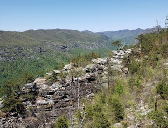
Located across the valley from the Black Mountain Crest Trail, the Big Butt Trail provides an incredible hiking, backpacking or trail running route deep in Pisgah's Appalachian Ranger District. Lesser visited, this area is home to a surprisingly large number of waterfalls and unique views of its own.
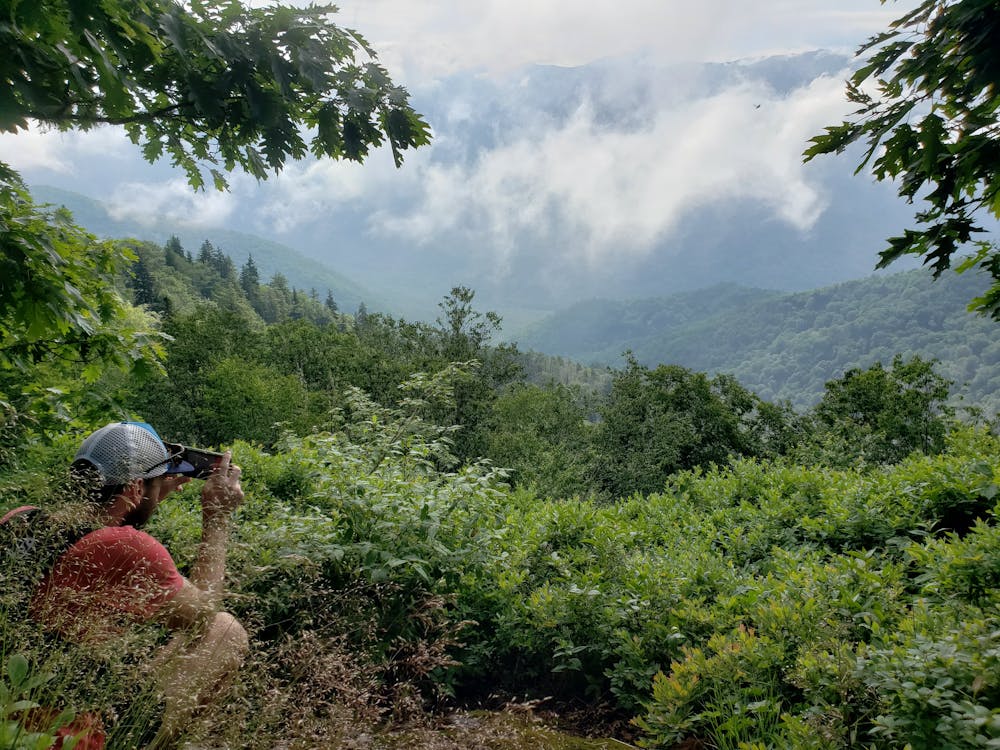
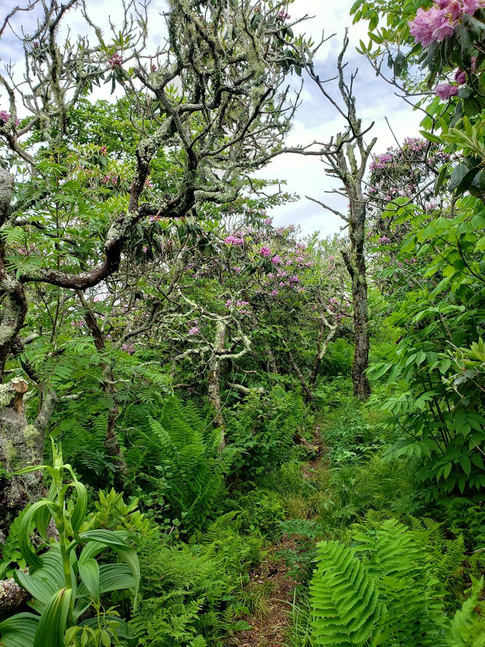
The Big Butt Trail has two trailheads. The southern lies on the Blue Ridge Parkway at the Walker Knob Overlook. The other lies along NC-197 to the north. Shuttling is an option but infrequently chosen. Most choose an out-and-back hike from one trailhead to the summit - nearly 3 miles from either. A well marked spur to the summit leads through a maze of mountain laurel before reaching a small rocky overlook to the west.
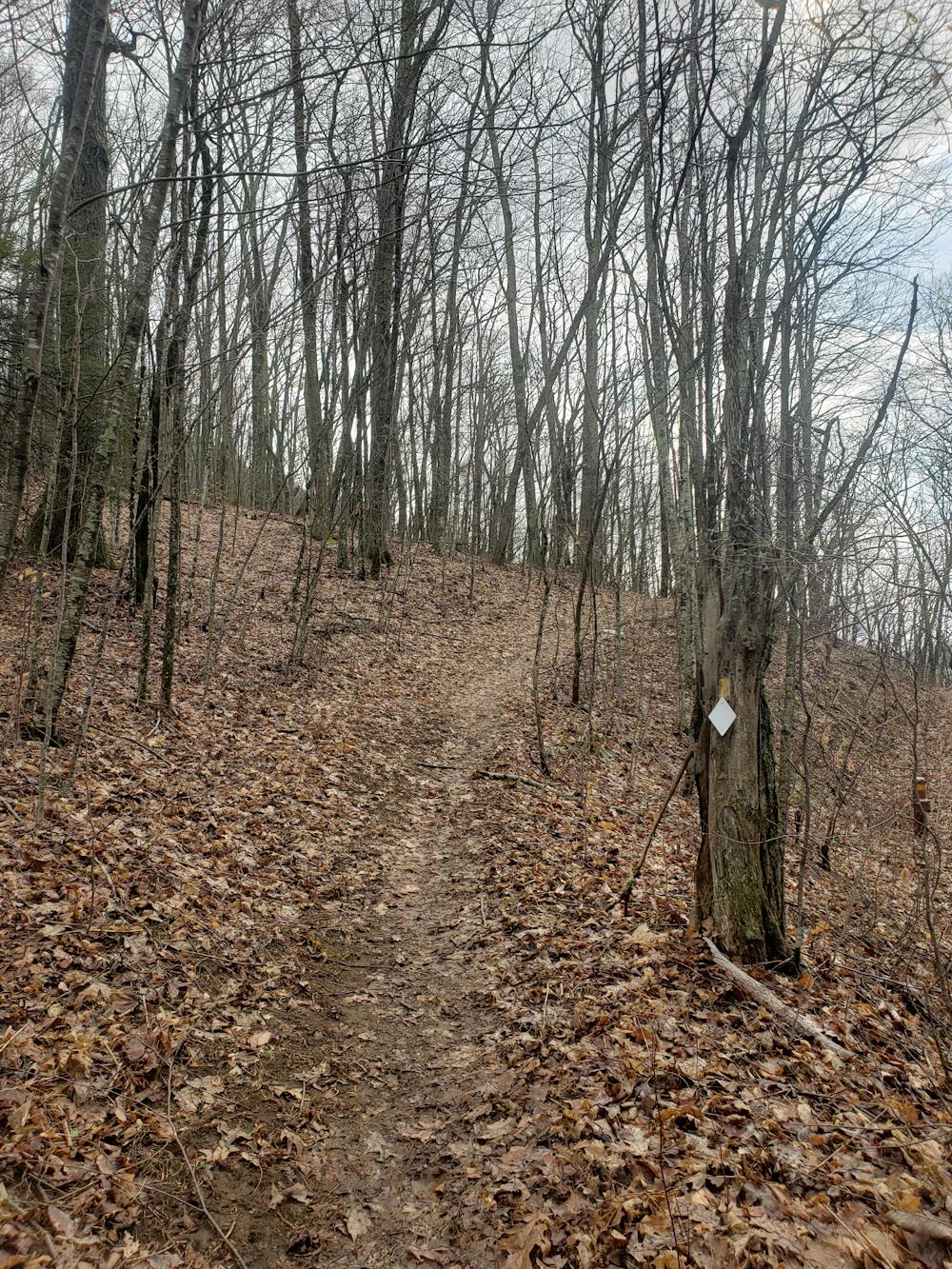
When approached from the south, the trail passes over Little Butt first, then follows with a rugged push up to Big Butt. The access point along the Blue Ridge Parkway makes this a slightly more popular option to reach the summit.
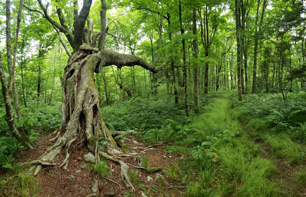
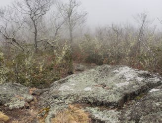
In contrast, when approached from the north you begin with a brutally demanding climb from the road. The trail is built extremely well and consistently maintained as it switchbacks its way to the ridge. As you begin a southbound traverse, the grade of the trail levels as you wander around Flat Spring Knob and to Big Butt. Roughly 2-miles in, look for a gnarled, leaning tree pointing north. While its origin is unclear, Native Americans historically bent tree saplings when young to force them to grow in a particular direction. Most times, these trees would point to water, shelter, or other identifying landmarks.
Tent camping opportunities are prevalent near the summit should you wish to make an overnight trip of it. If beginning along NC-197, there are even more opportunities to camp due west along the road.
Difficult
Hiking trails where obstacles such as rocks or roots are prevalent. Some obstacles can require care to step over or around. At times, the trail can be worn and eroded. The grade of the trail is generally quite steep, and can often lead to strenuous hiking.

Some trail sections have exposed ledges or steep ascents/descents where falling could cause serious injury.
Little chance of being seen or helped in case of an accident.
4.3 km away
A short hike at the top of Big Ivy to a narrow and near-vertical, 70-foot waterfall.
Easy Hiking
5.1 km away
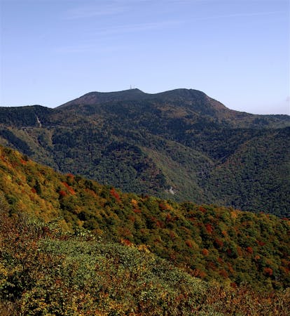
A classic hike to the summit of Mount Mitchell, the highest point east of the Mississippi River.
Difficult Hiking
6.1 km away
A short hike in the Great Craggy Mountains with sweeping 360-degree views.
Moderate Hiking
6.5 km away
An easy, paved path to the observation platform on Mount Mitchell.
Easy Hiking
6.5 km away
A segment of the Mountains to Sea Trail best known for its traverse through Linville Gorge.
Difficult Hiking
8 km away
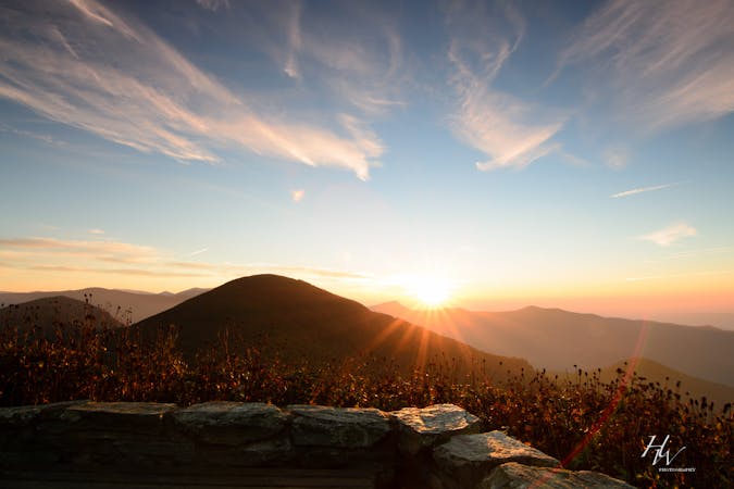
A beautiful route across Snowball Mountain, Hawkbill Rock, and the site of a former fire tower.
Severe Hiking
7 routes · Hiking

7 routes · Hiking

10 routes · Hiking

16 routes · Hiking
8 routes · Hiking

17 routes · Hiking · Trail Running
10 routes · Hiking